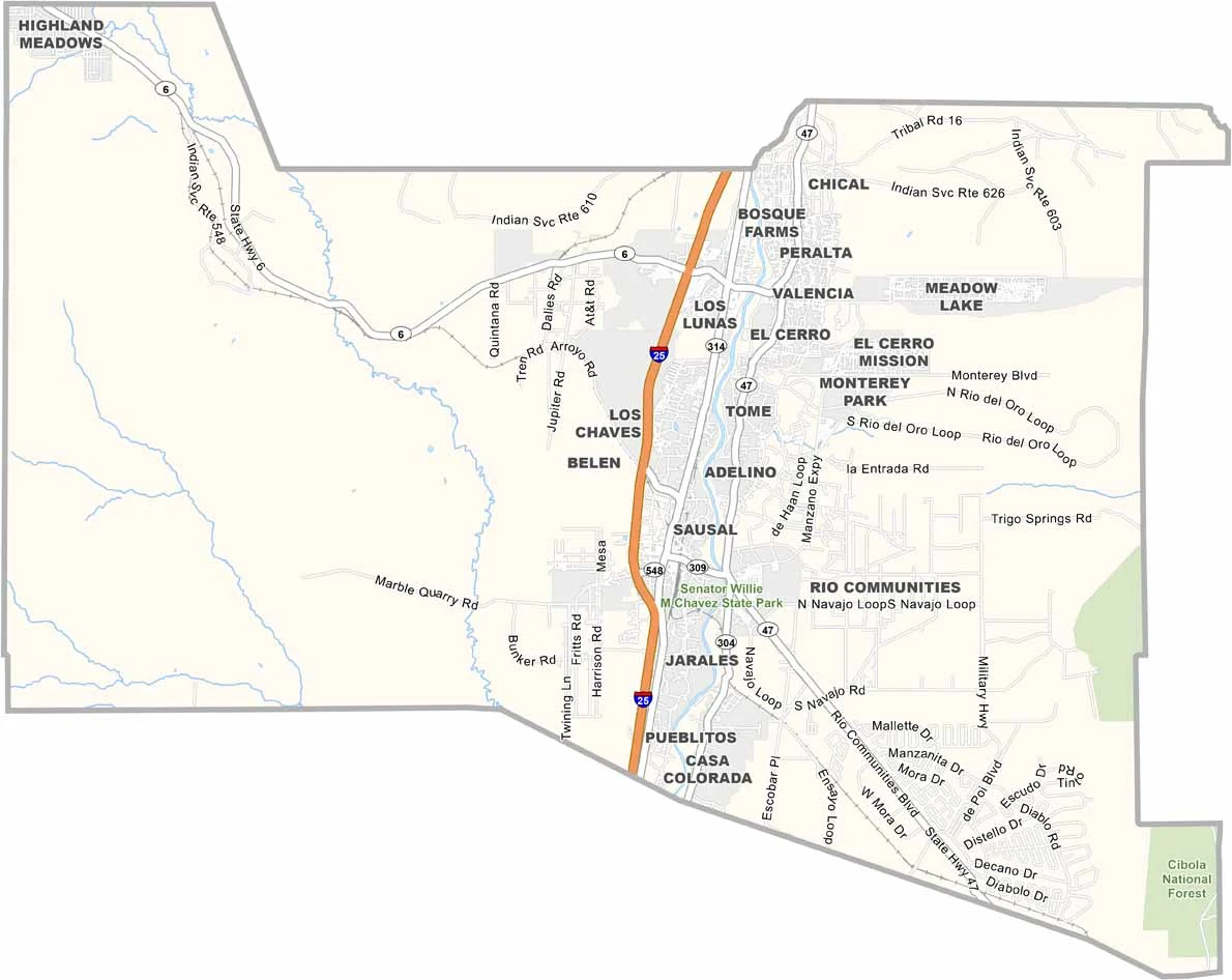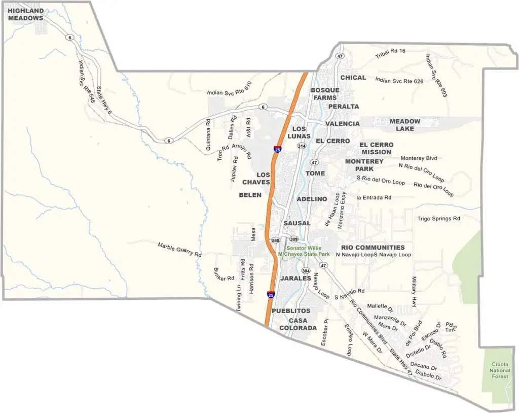
Valencia County Map, New Mexico

Valencia County, New Mexico

Valencia County stretches along the Rio Grande, just south of Albuquerque, where urban development meets rural landscapes. Los Lunas serves as the county seat and has been growing quickly. Belen, another major community, calls itself the “Hub City” because of its important railroad junction.

The county has deep historical roots, with the first Spanish settlers arriving in the 1600s. Their influence can still be seen today. Tomé Hill is a well-known local landmark and has served as a pilgrimage site for centuries.

The bosque along the Rio Grande provides a green oasis that’s perfect for hiking and bird watching. Agriculture remains important, with chile peppers among the major crops. The county also has a strong Hispanic heritage, reflected in its food and music. The University of New Mexico’s Valencia campus is also located here.
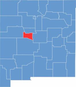

Valencia County location map of New Mexico
CategoryDetails
County NameValencia County
County SeatLos Lunas
EtymologyNamed after the town of Valencia, New Mexico, which is itself named for Valencia, Spain
Cities, Towns, and CommunitiesLos Lunas, Belen, Bosque Farms, Peralta, Tome
Interstates and HighwaysInterstate 25, U.S. Route 60, U.S. Route 85, New Mexico State Road 47
FIPS Code35-061
Total Area (Land and Water)1,068 square miles (1,066 sq mi land, 2 sq mi water)
Adjacent Counties (and Direction)Bernalillo County (North), Torrance County (East), Socorro County (South), Cibola County (West)
Time ZoneMountain Time Zone (MT)
StateNew Mexico
Coordinates34.7285° N, 106.7340° W
Major LandmarksHarvey House Museum, Isleta Pueblo, Rio Grande Bosque, Los Lunas Decalogue Stone
PopulationApproximately 79,000
Scroll to Top