
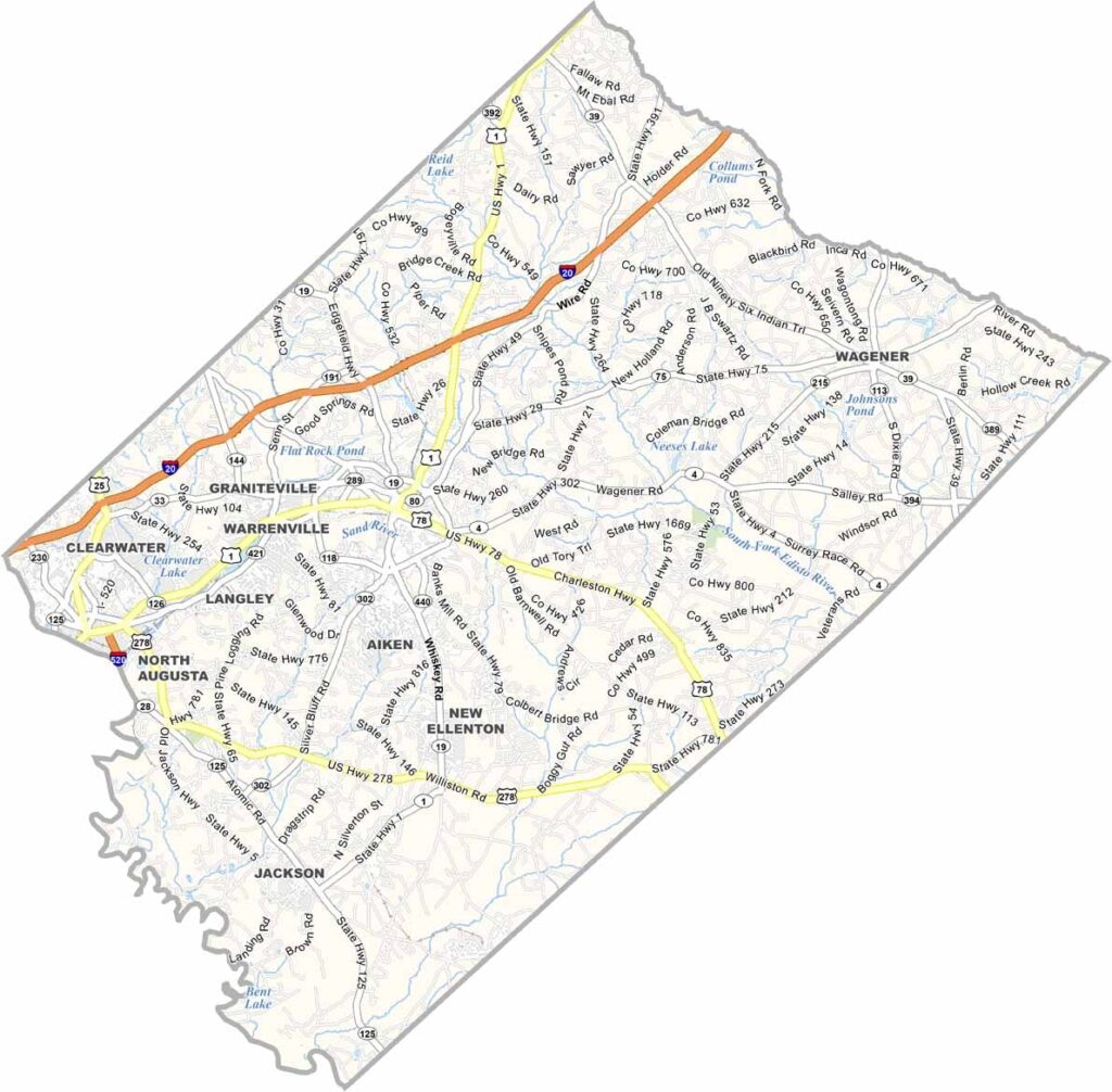
Aiken County sits in the western part of South Carolina, not far from Augusta, Georgia. It has a mix of everything, including small towns, rural areas, and the good-sized city of Aiken.
Horse lovers, this is your place. Aiken has been a winter training spot for racehorses for over a century, and the whole county has an equestrian vibe. For a taste of the outdoors, Hitchcock Woods offers miles of trails for hiking and horseback riding right in the city.
The Savannah River forms the county's western border and is great for kayaking. Aiken has a quirky side too. Ever heard of the Aiken Trials? It's an annual event for competitive horse racers. Only in Aiken!
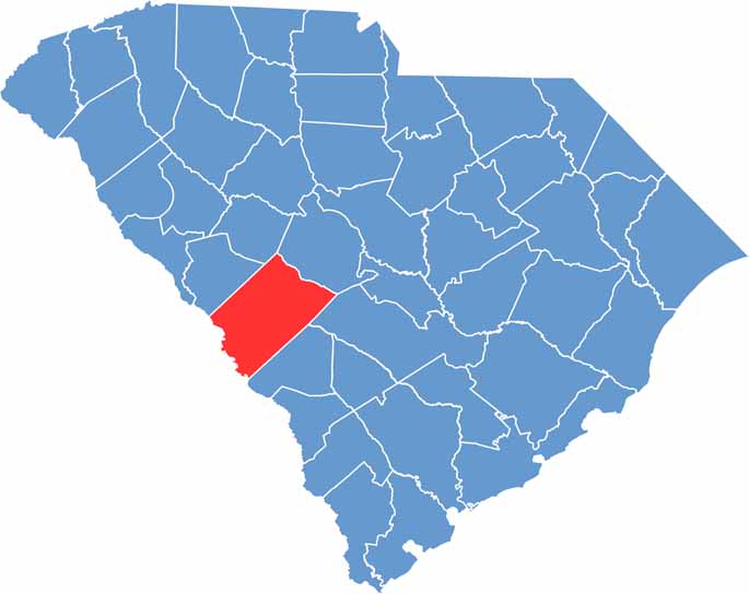
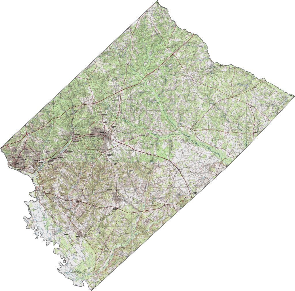
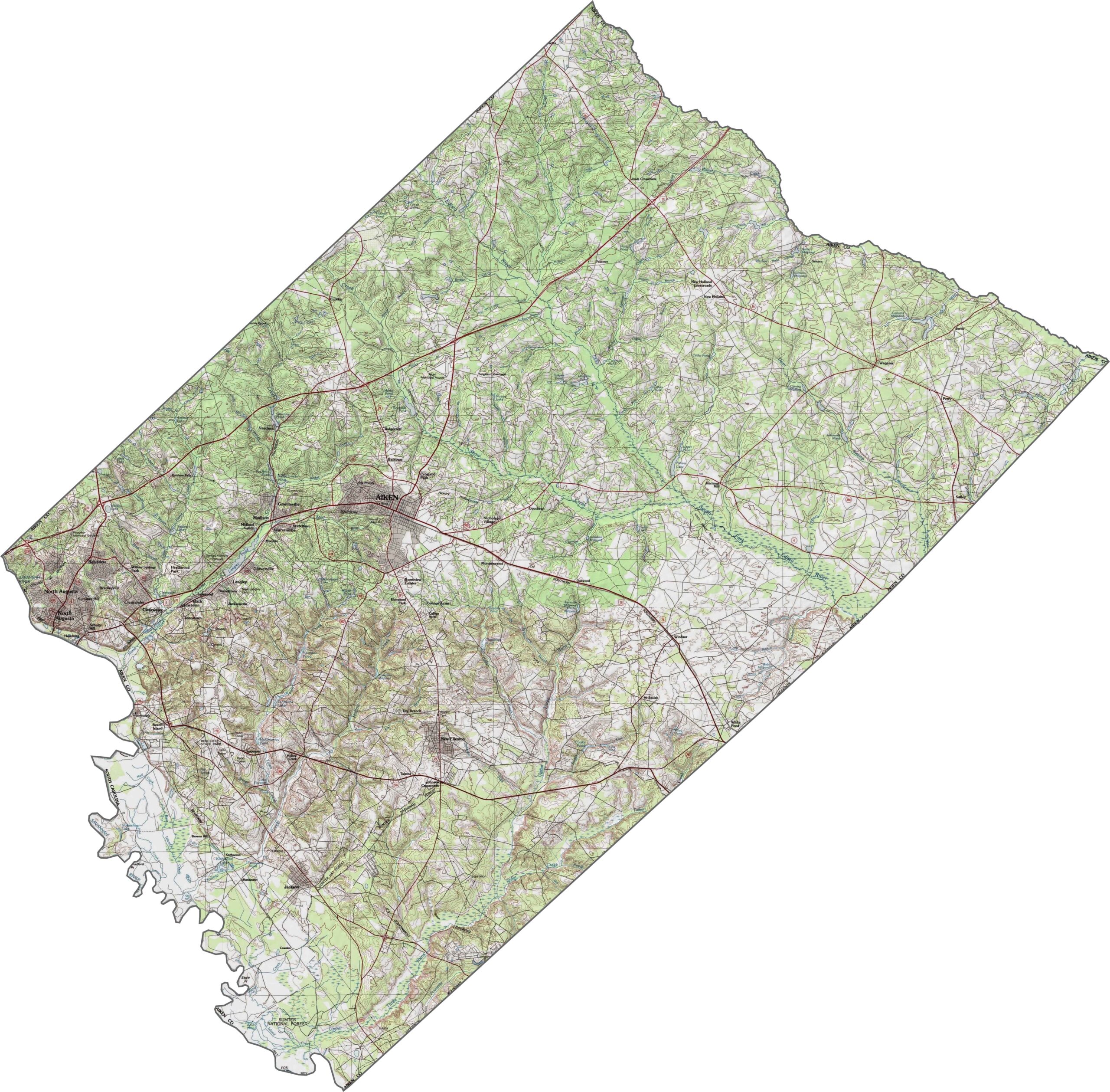
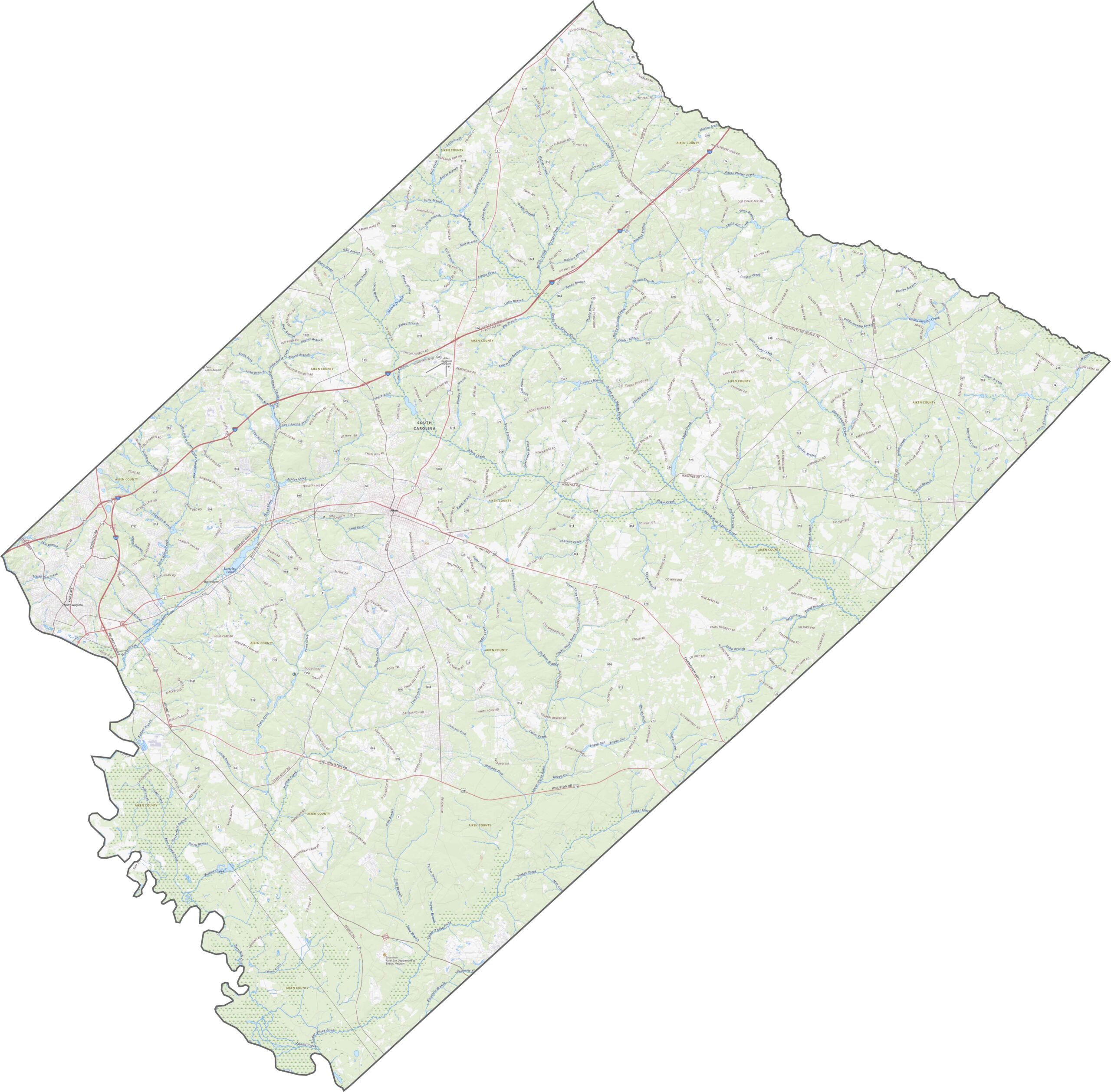
Aiken County is where the Piedmont meets the Coastal Plain. Elevation drops from west to east, and small ridges break up the otherwise subtle landscape. It isn't mountainous, but it's never quite flat either. Use our zoom tool to explore every contour of the county.
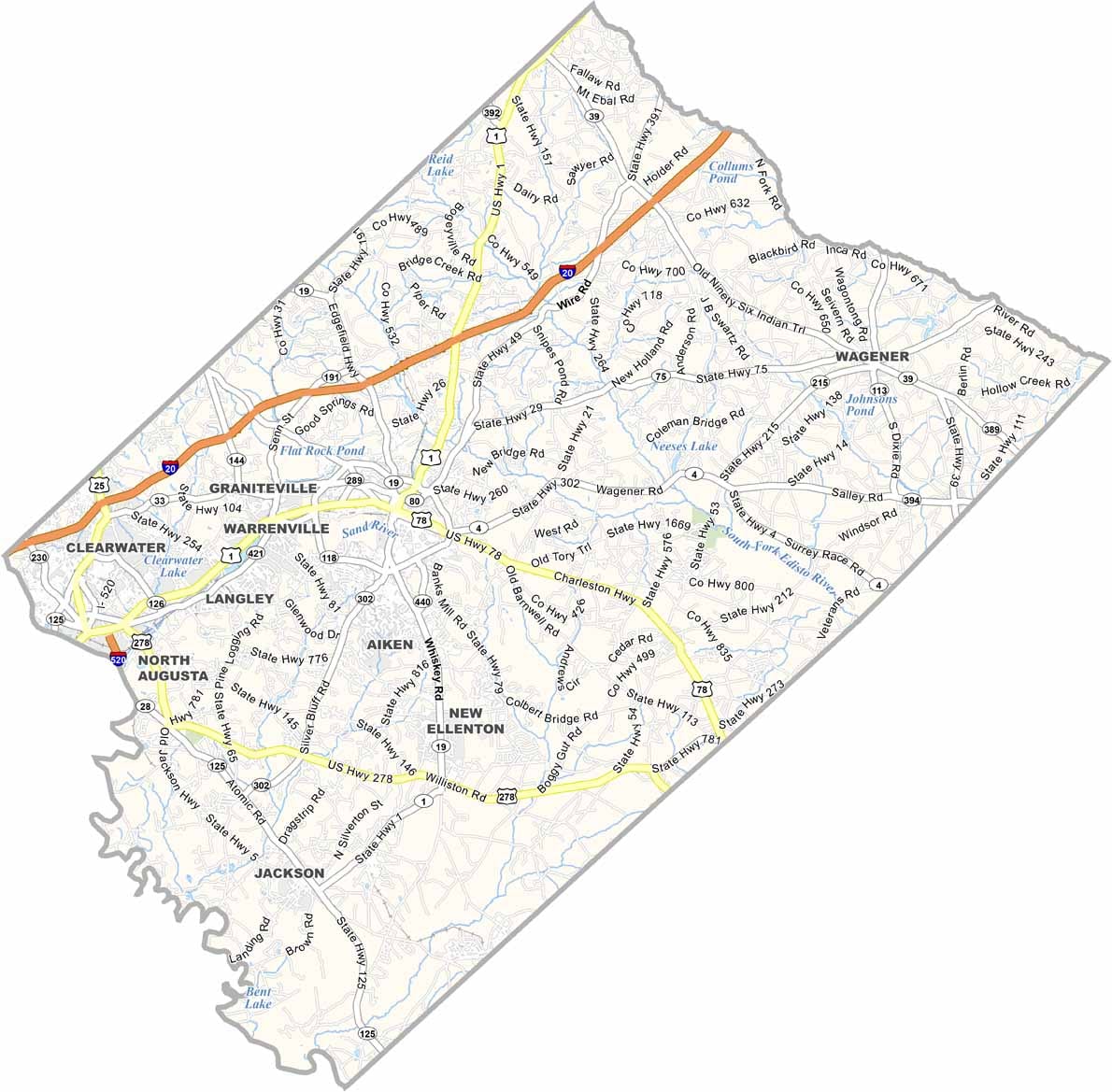
Roads in Aiken County are busy, well connected, and always moving. I-20, U.S. Highway 1, and U.S. Highway 78 are the big ones. The eastern edge hums with traffic, while the western part feels slower, but you can get just about anywhere with ease.
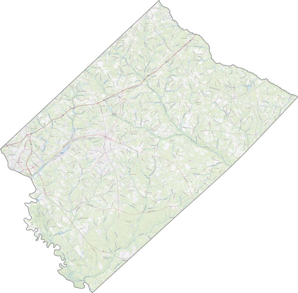
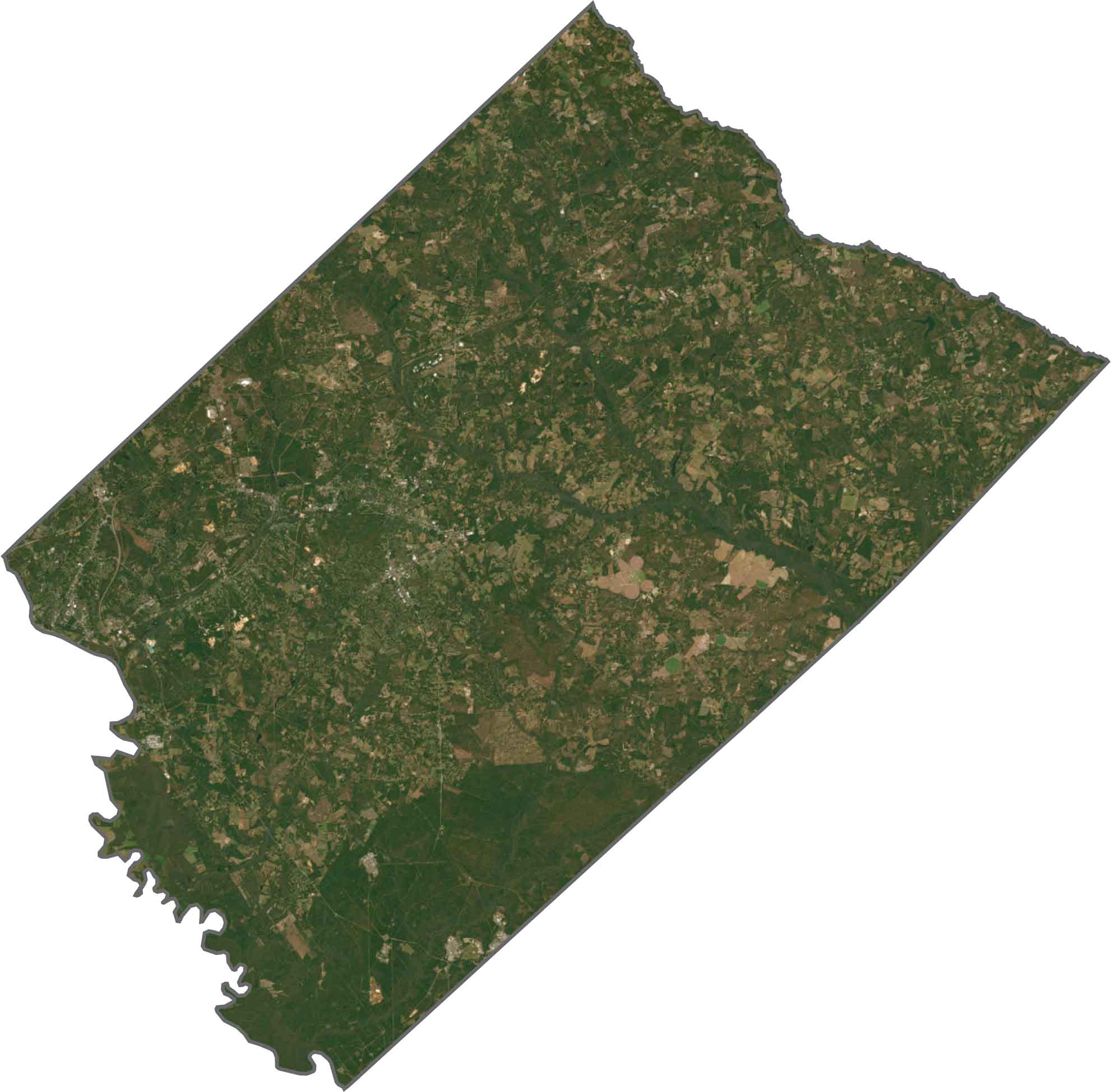
Forests dominate the northern and southern parts of the county, though farm plots and open fields interrupt the green. Urban areas appear in clusters, especially near the middle and east, and you'll spot a few long ponds and reservoirs like Clearwater Lake and Johnsons Pond.
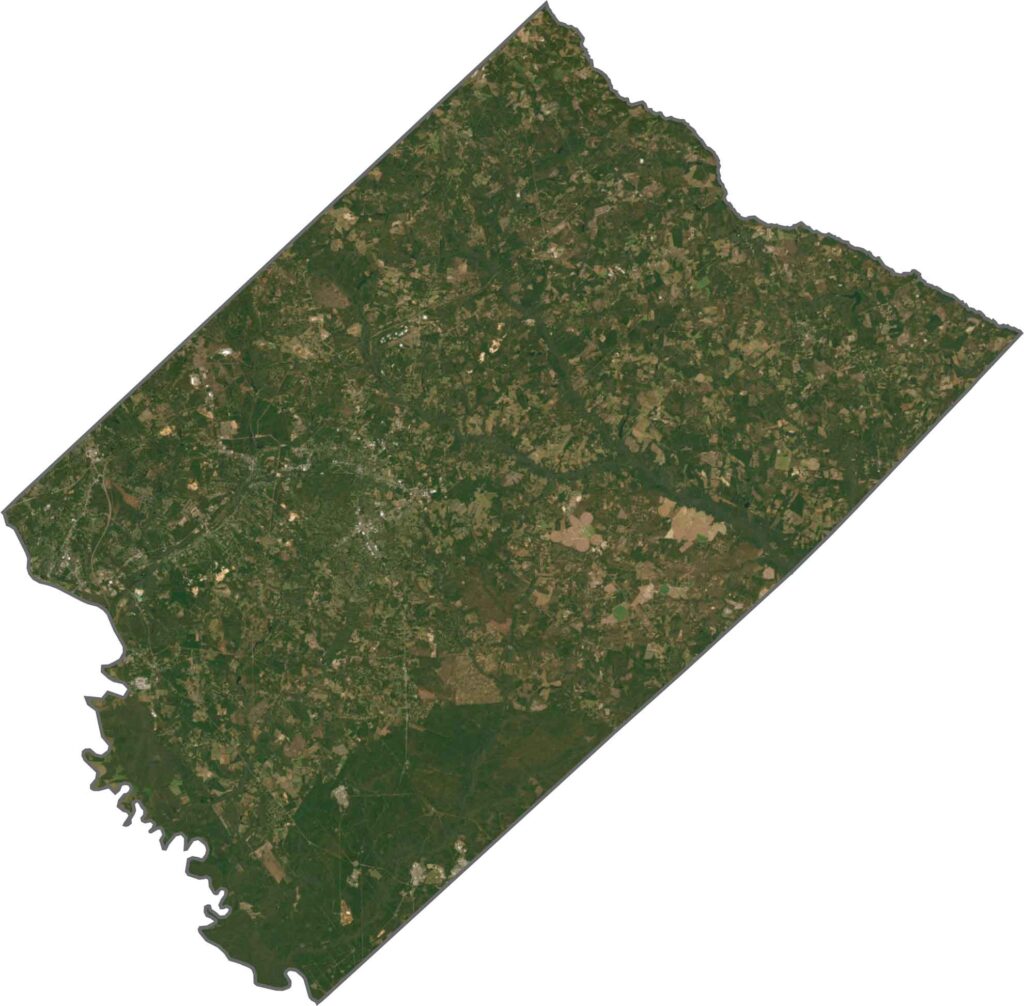
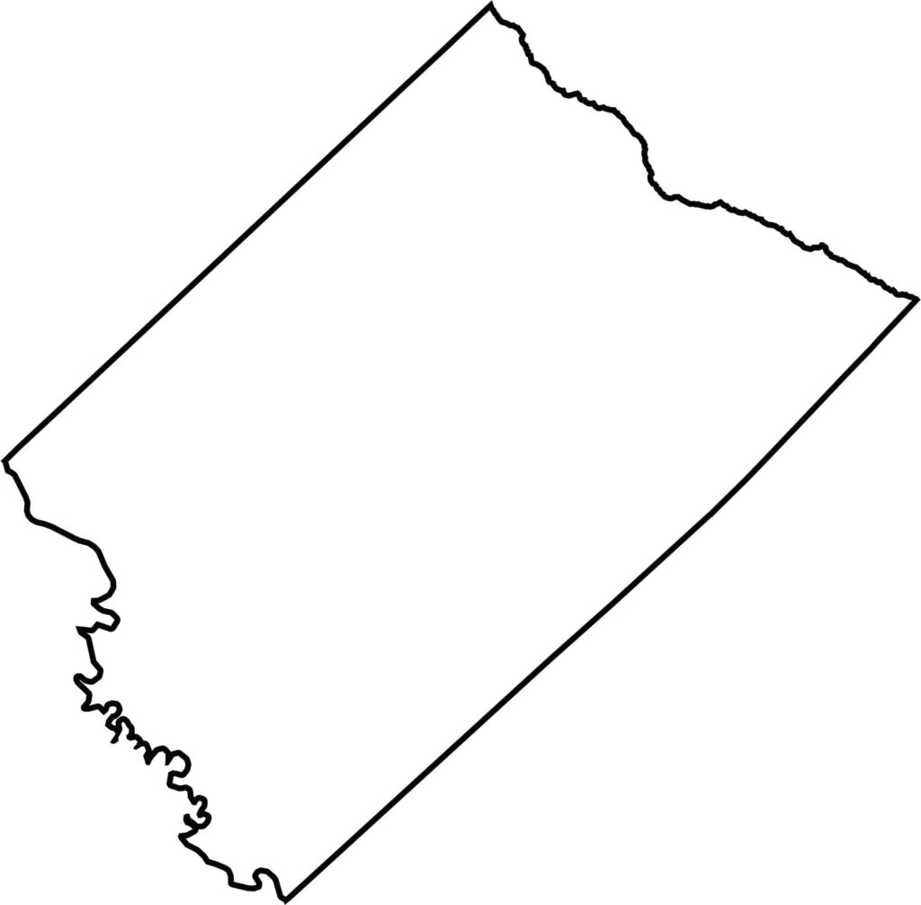
The county is shaped like a diagonal rectangle with jagged sides. Its southwestern border follows the Savannah River, which also marks the state line with Georgia, while the Edisto River forms the boundary on the northeastern side.






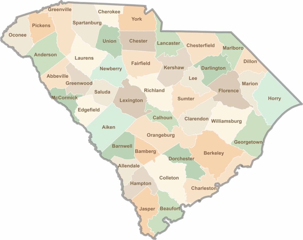
South Carolina’s 46 counties each have their own personality. Some are all about beach vibes, while others are steeped in history. You’ll find gators, grits, and gospel here—sometimes all in the very same afternoon.