
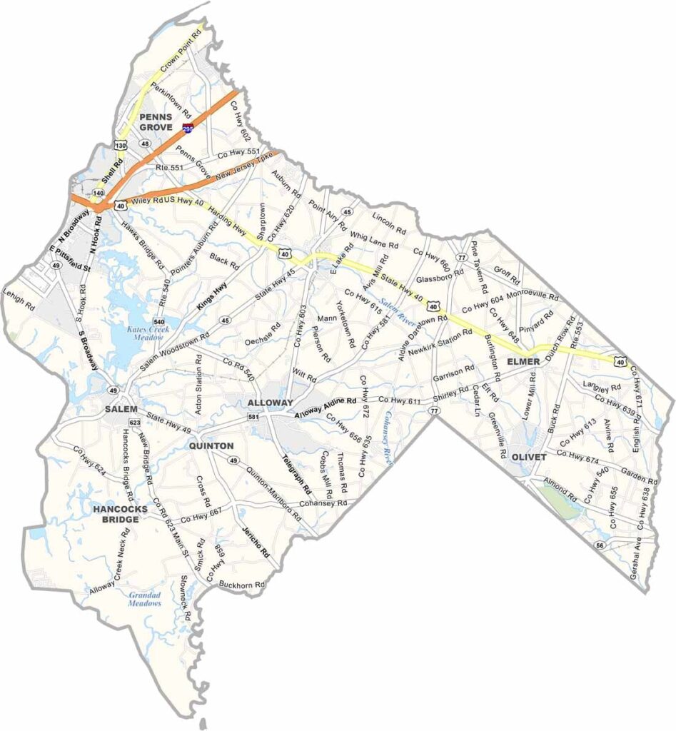
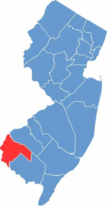
Salem County sits in the southwest corner of New Jersey, bordering Delaware. It's the kind of place that feels frozen in time, with plenty of farmland and the Delaware River forming its western border. The river offers scenic views and some great fishing spots.
Salem City, the county seat, boasts some of the best-preserved historic architecture in the state, and you can almost imagine colonial-era folks walking its streets. But Salem County isn't only about the past. It's also home to cutting-edge nuclear power plants along the Delaware River.
The county is also known for the Salem Oak, a massive tree and local landmark that stood for centuries until it fell in 2019. Nature lovers will appreciate places like Parvin State Park, perfect for hiking and camping. Salem County is quiet, the kind of place you go to escape the noise and rediscover a slower pace of life.
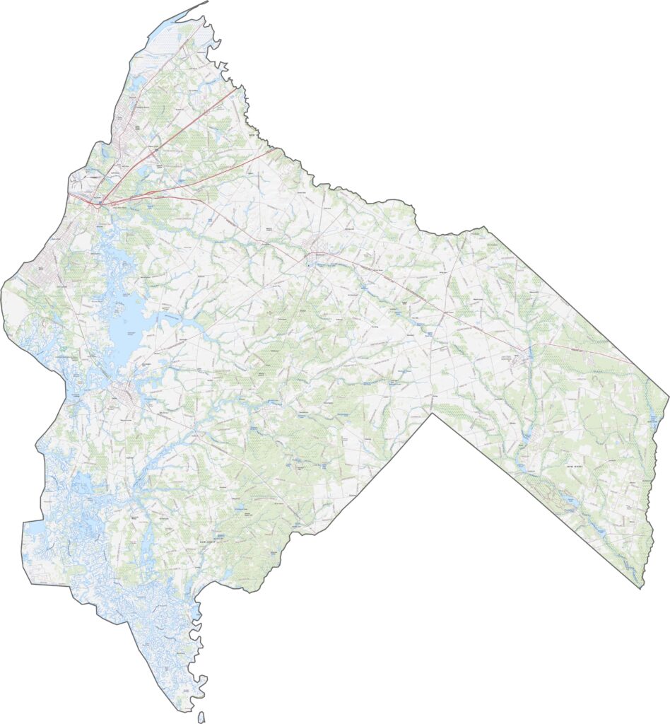
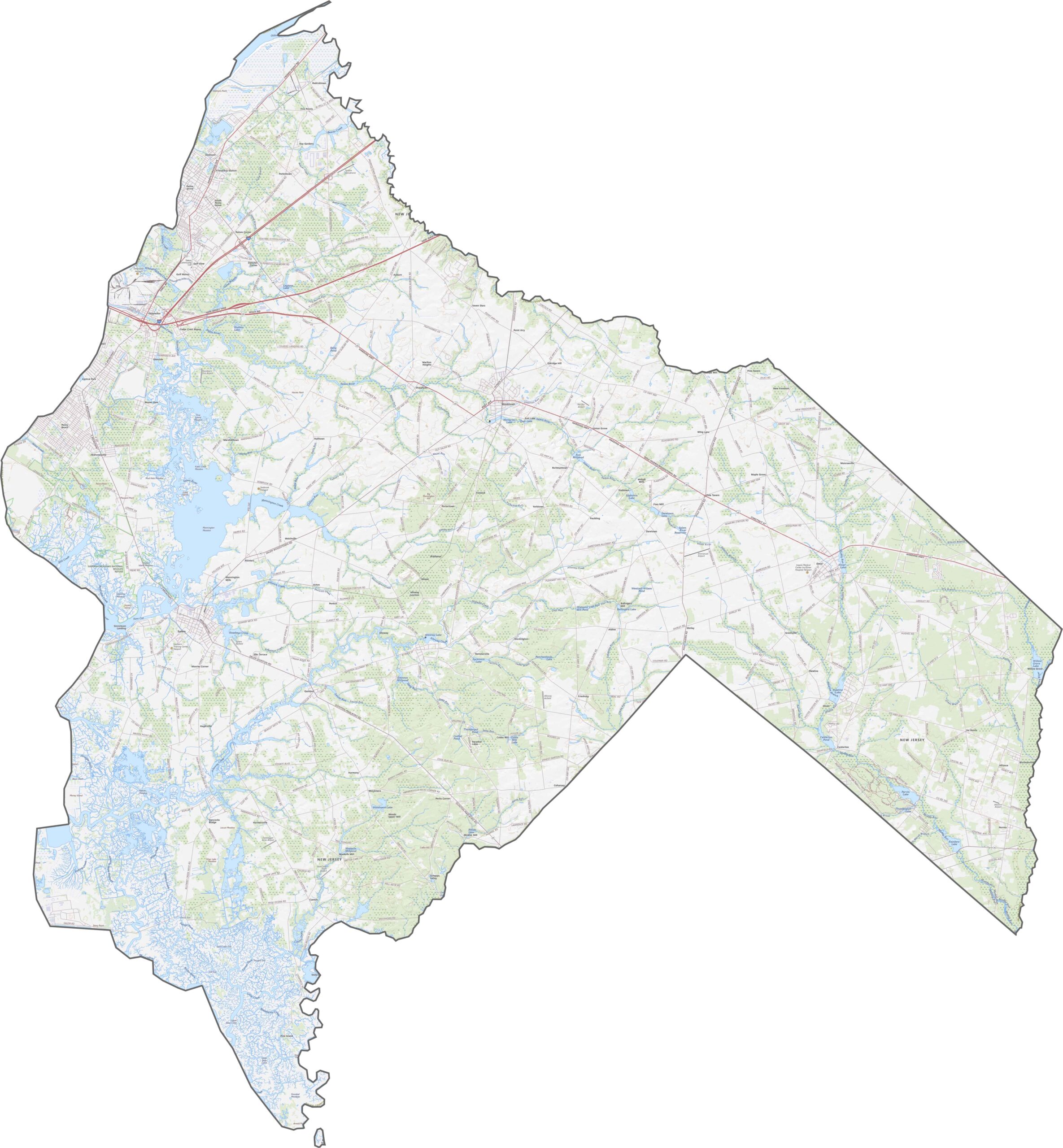
Quiet roads rule here. Route 40 slices across the middle, slow and steady, while the New Jersey Turnpike sneaks through the eastern side and keeps its head down. Interstate 295 tags along for a short stretch too.
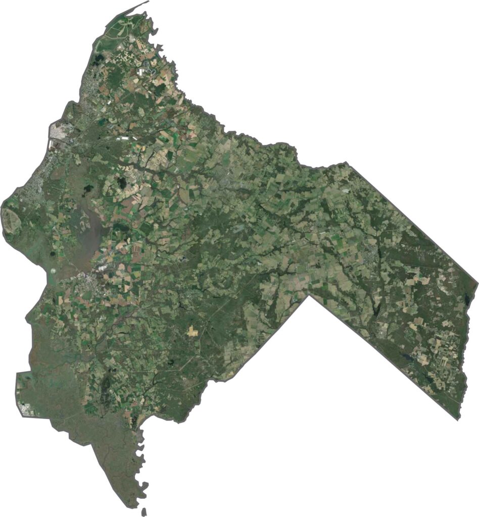
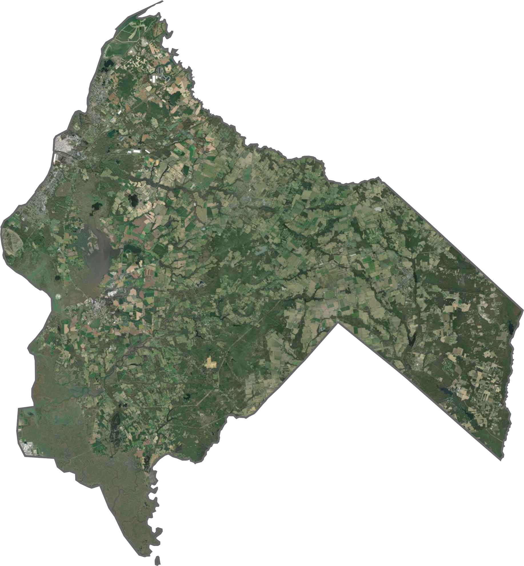
Flat, open, and unbothered, Salem County is one of New Jersey's flattest spots. Our satellite map shows a mix of green, brown, and blue, with farmland covering the view alongside woods and creeks. Small towns barely interrupt the landscape, and the Delaware River hugs the western edge, next to low-lying fields.
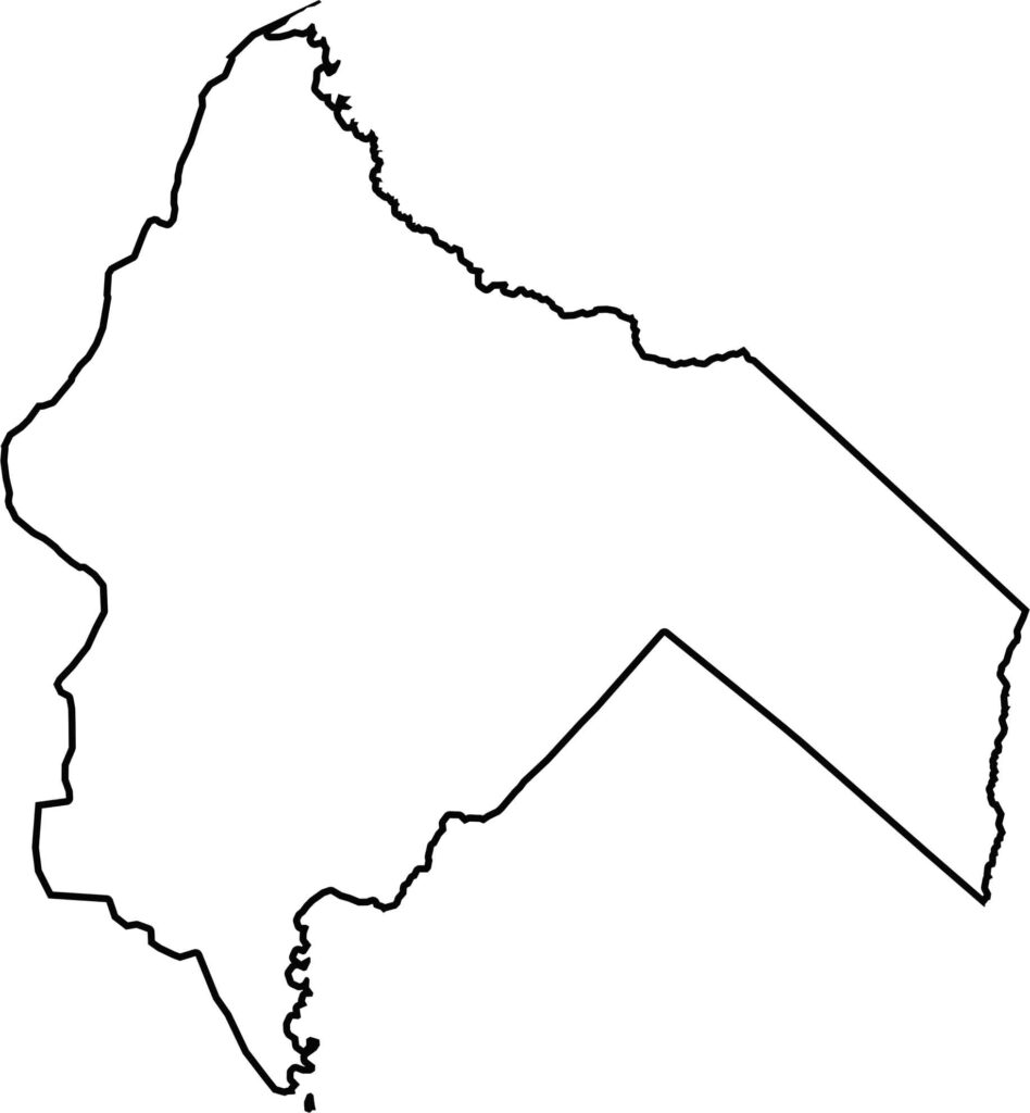
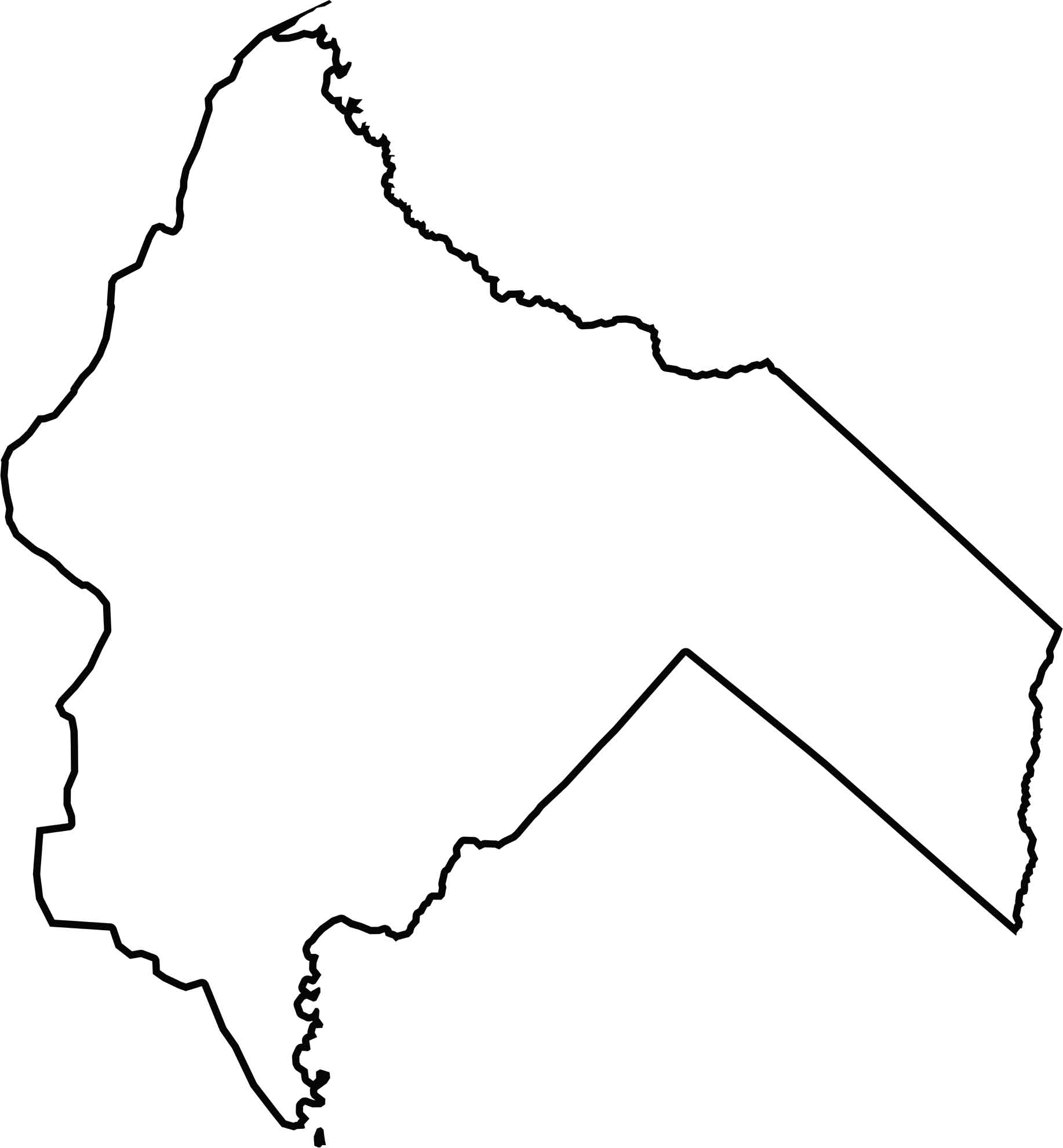
Salem County leans west against the Delaware River, which draws most of its western border. The county's shape is spread out, with mostly soft, natural curves along the riverbank. Delaware lies across the water to the west.







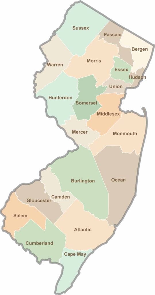
New Jersey packs a lot into its 21 counties, from beach towns and Pine Barrens forests to rolling farmland. Trace colonial history in Hunterdon County or stroll the boardwalk in Ocean County. There's far more here than meets the Turnpike.