
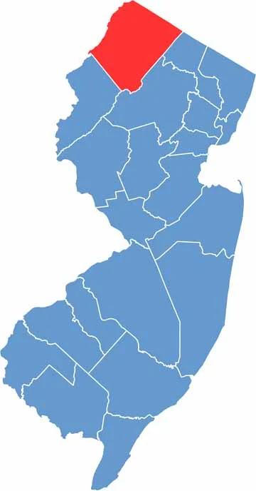
Sussex County sits in the far northwest corner of New Jersey, bordering Connecticut and Pennsylvania. It's about as far from the Jersey Shore stereotype as you can get, and it's where the Garden State truly earns its name, with rolling hills, forests, and farmland dominating the landscape.
The Appalachian Trail cuts through the county, offering hikers some of the best views in the state. Sussex is lake country too, and Lake Hopatcong and Swartswood Lake are perfect for swimming and boating. Don't miss Space Farms Zoo and Museum, which is part wildlife park and part collection of... well, everything.
Newton, the county seat, has a quaint downtown with some great restaurants. Winters can be harsh up here, but that just means great skiing at Mountain Creek. Sussex County is a breath of fresh air for the state, a place where New Jerseyans go to escape the everyday hustle.
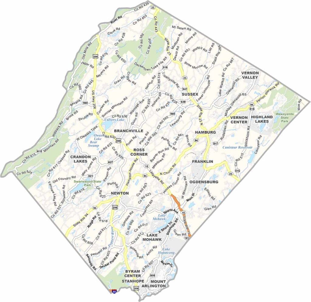
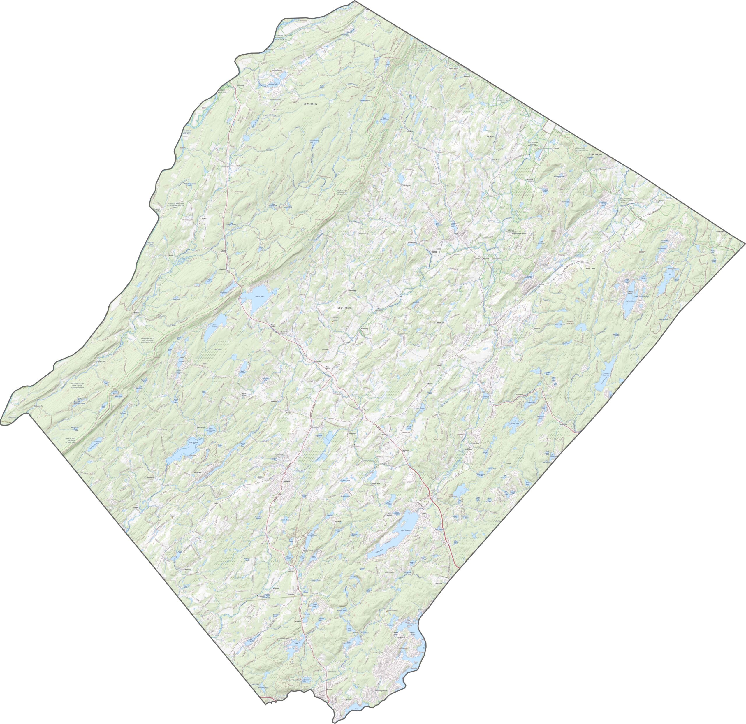
Up in Sussex County, big highways are fewer and farther between. Route 15 runs north to south, connecting Sparta to the wider world, while Route 206 winds through hills and farmland as if it's in no hurry at all. Our zoom tool lets you follow every twist and turn on the Sussex road map.
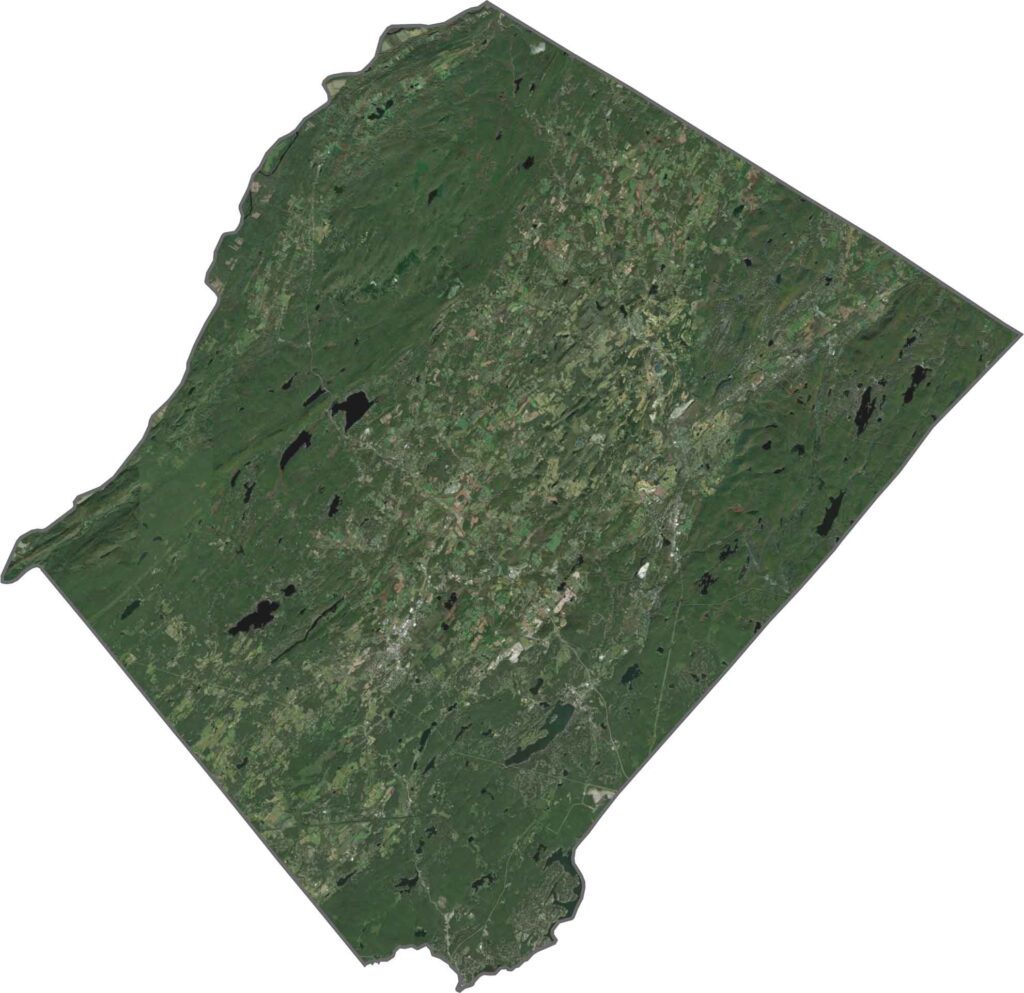
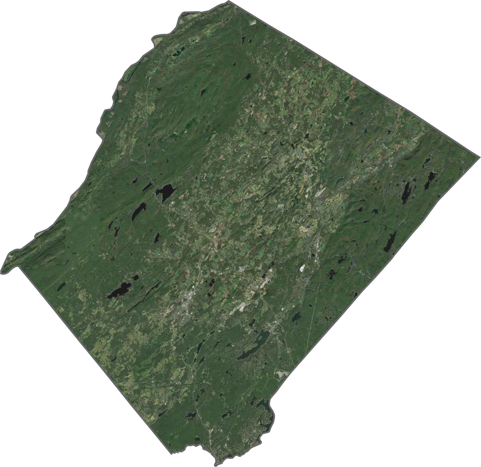
From space, Sussex County looks like one giant forest. Dark green dominates the view, with lakes and farms scattered in between, and even the towns blend in under thick tree cover. It's one of the most rural-looking places in the state.
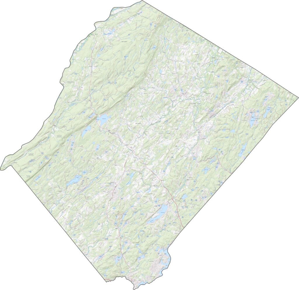
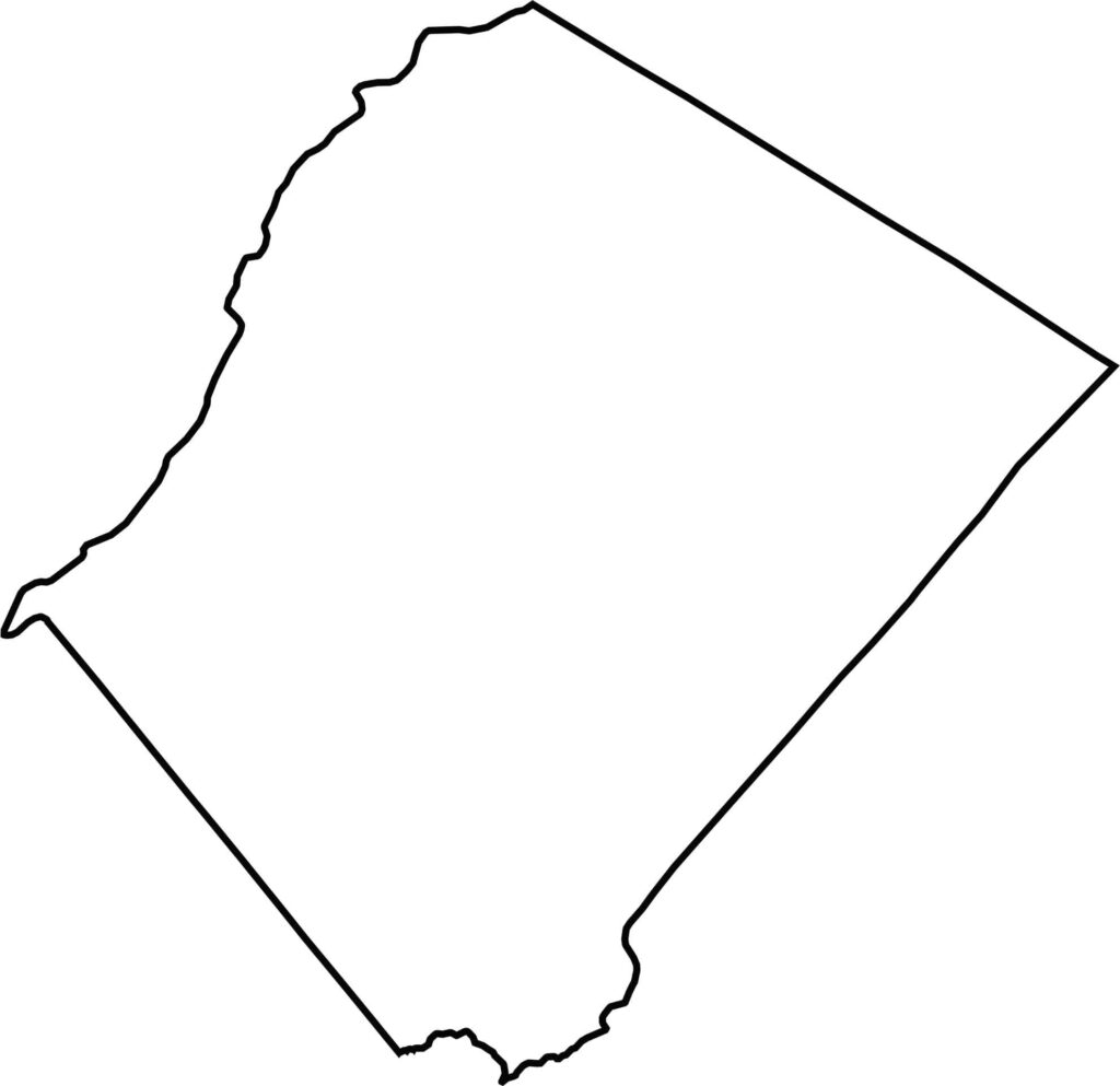
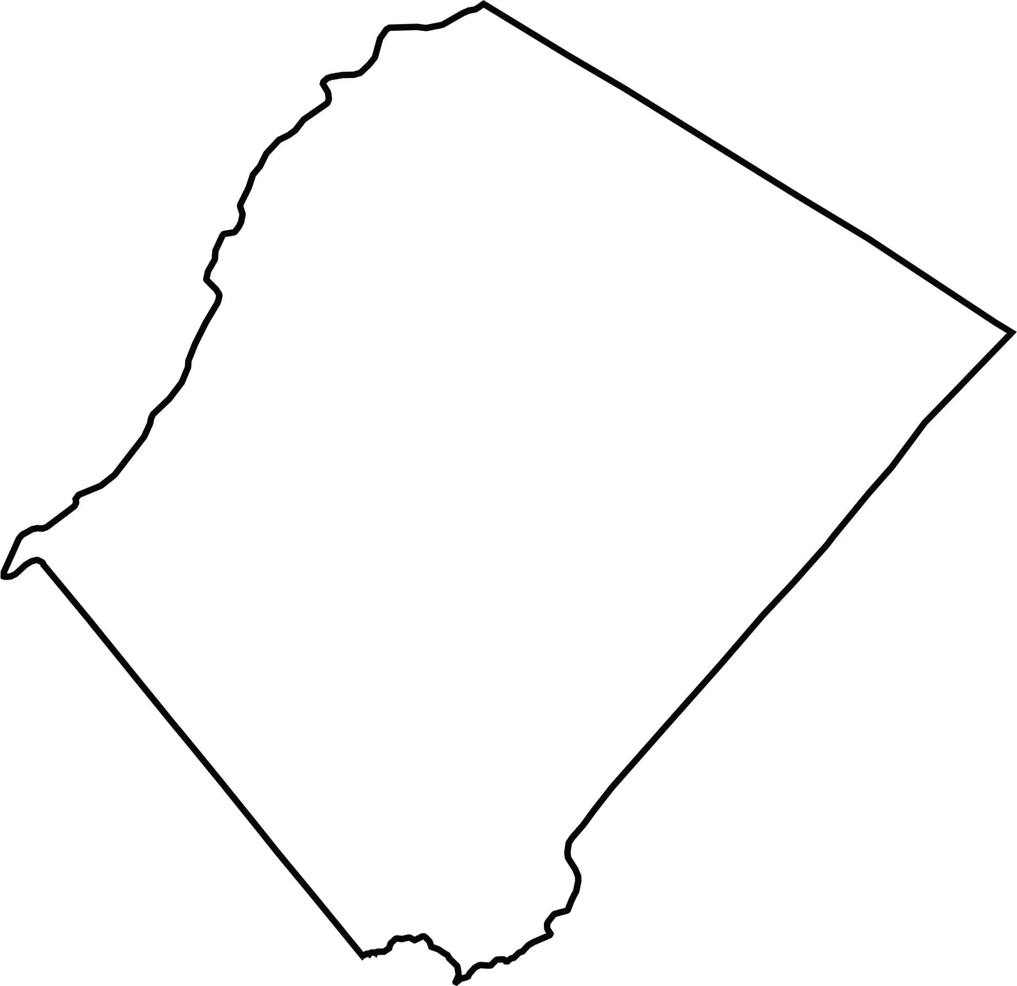
Sussex County forms the top-left corner of New Jersey. The Delaware River marks its northwest edge, separating it from Pennsylvania and New York. Its outline resembles a sheet of wavy paper, torn along the left side.







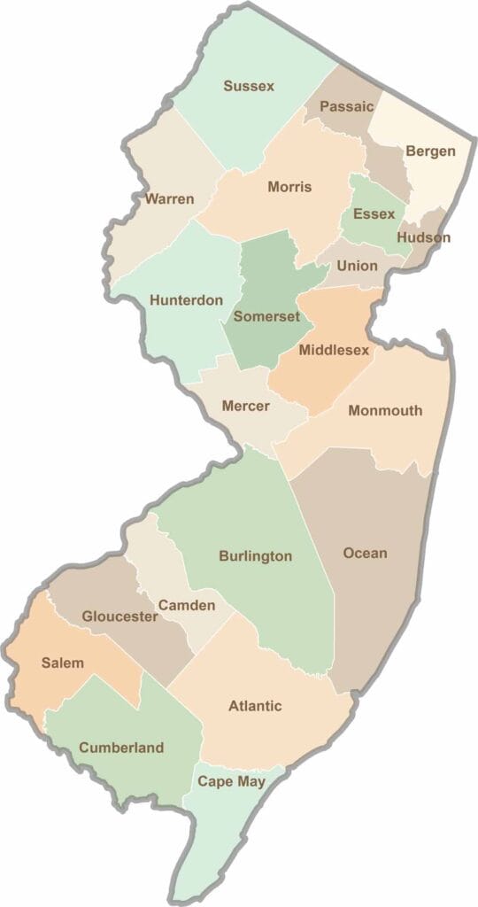
New Jersey packs a lot into its 21 counties, from beach towns and Pine Barrens forests to rolling farmland. Trace colonial history in Hunterdon County or stroll the boardwalk in Ocean County. There's far more here than meets the Turnpike.