
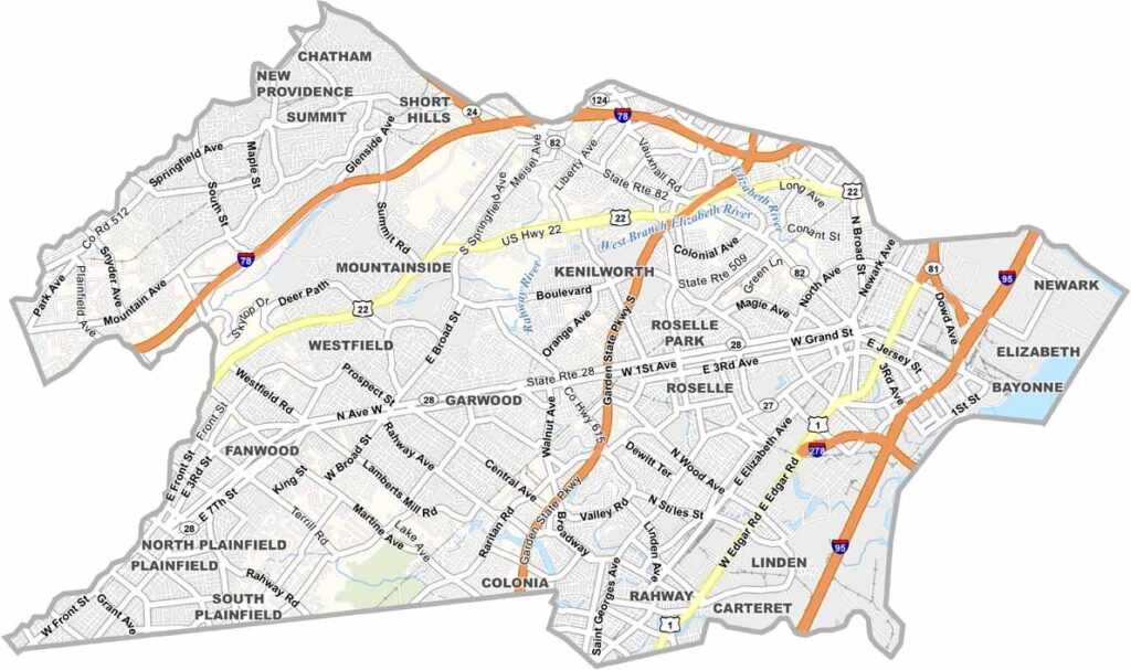
Union County sits just west of New York City, along Newark Bay. Elizabeth, the county seat, has a rich history dating back to colonial times, but it also boasts a busy port and a huge IKEA. Westfield is known for its charming downtown and great shopping.
You can't talk about Union County without mentioning Watchung Reservation, a massive park with hiking trails, a lake, and even a deserted village. The county has serious brainpower too, thanks to Kean University and Union County College.
From Portuguese food in Elizabeth to Cuban in Union, there's always something new to try. Union County is a microcosm of New Jersey itself: busy and quiet, historic and modern, all at once.
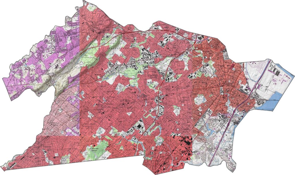
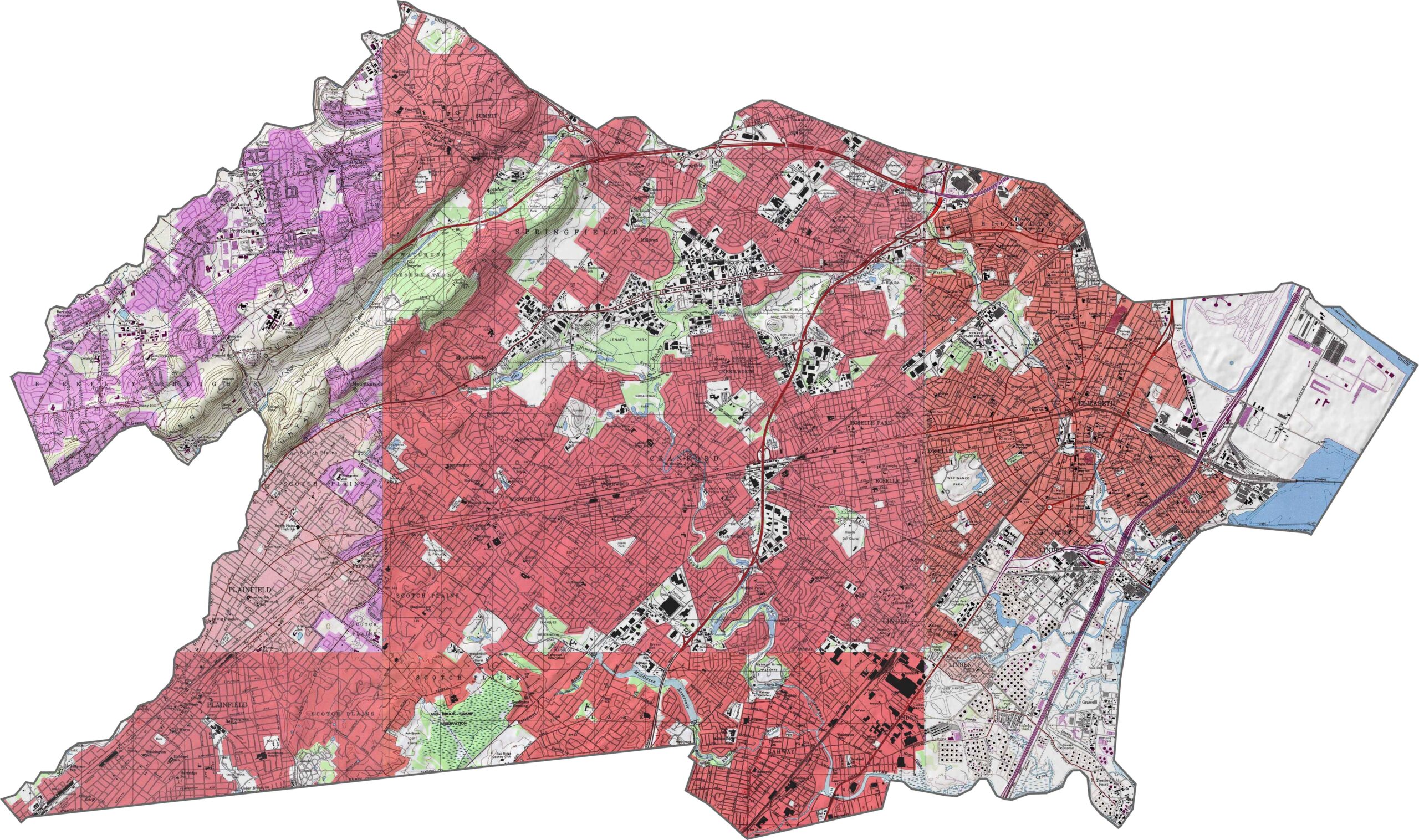
Union County is flatter in the east, while the western edge rises slightly. Nothing here is too extreme, but there's just enough elevation to break the horizon. Urban sprawl meets scattered green space, and it all plays out on gentle terrain.
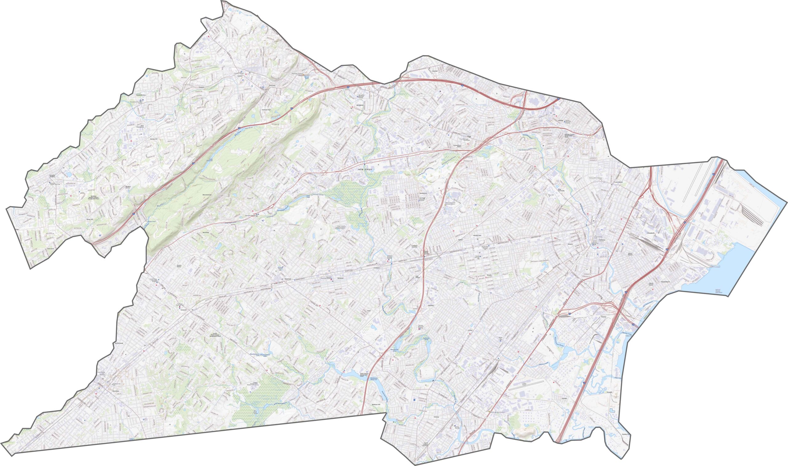
Union County has the full set. Interstate 78, the Garden State Parkway, and the New Jersey Turnpike all run through it. Traffic can be congested, but the access is unbeatable. Zoom in and explore our Union County road map below.
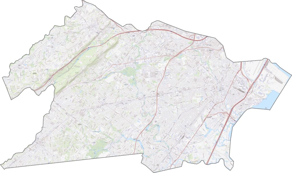
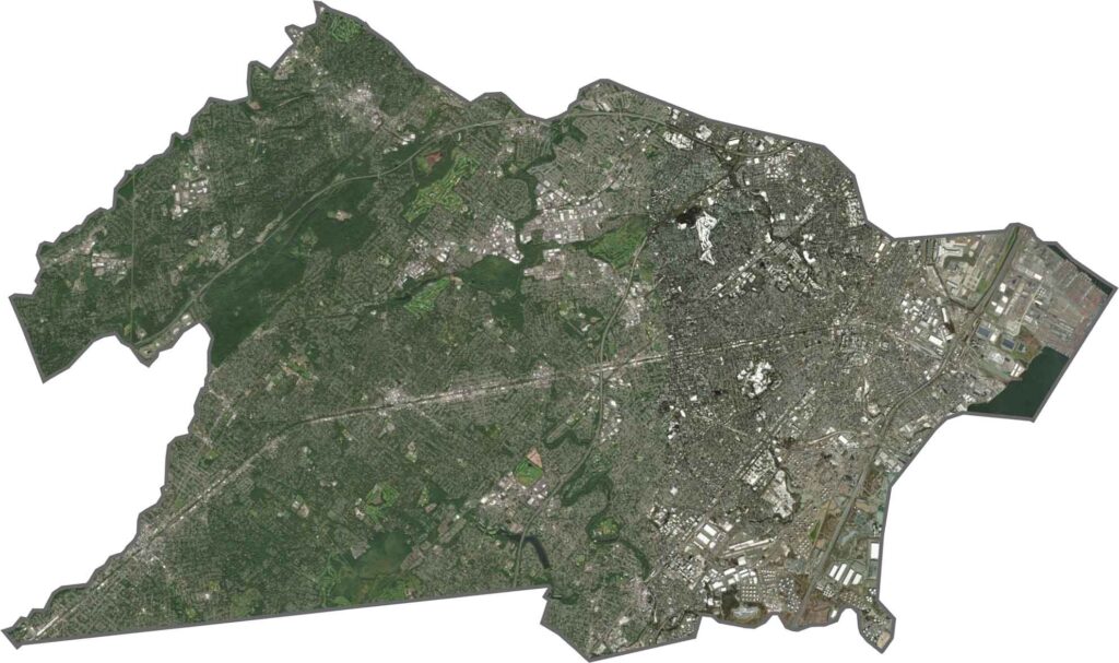
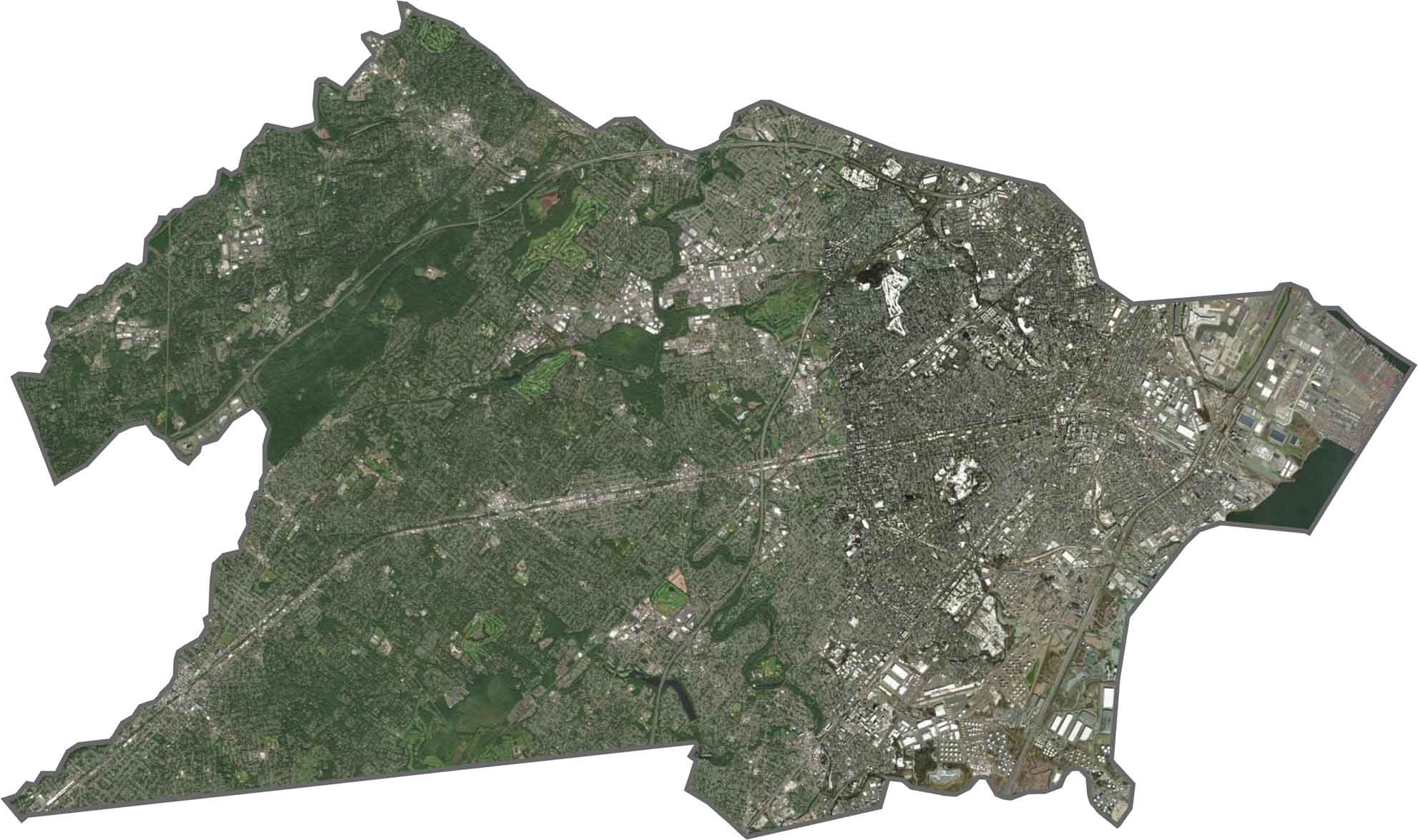
In our satellite map, the eastern side of Union County is a mix of city blocks, parking lots, and industrial space. Elizabeth and Linden stand out near the port, while parks soften the view farther west. You'll also spot the runways of Newark Airport right on the edge.
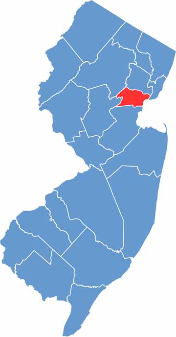
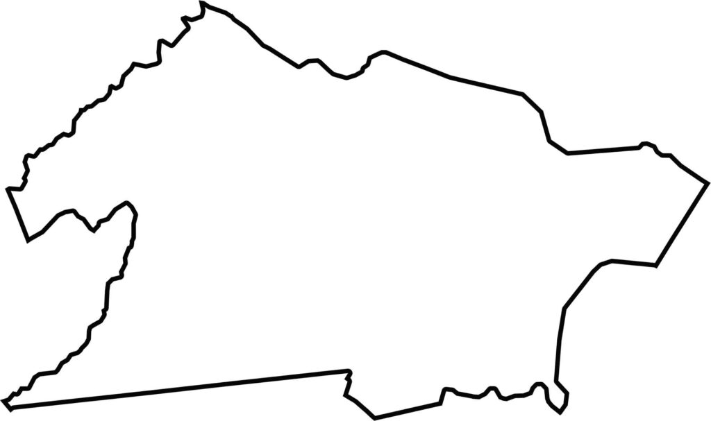
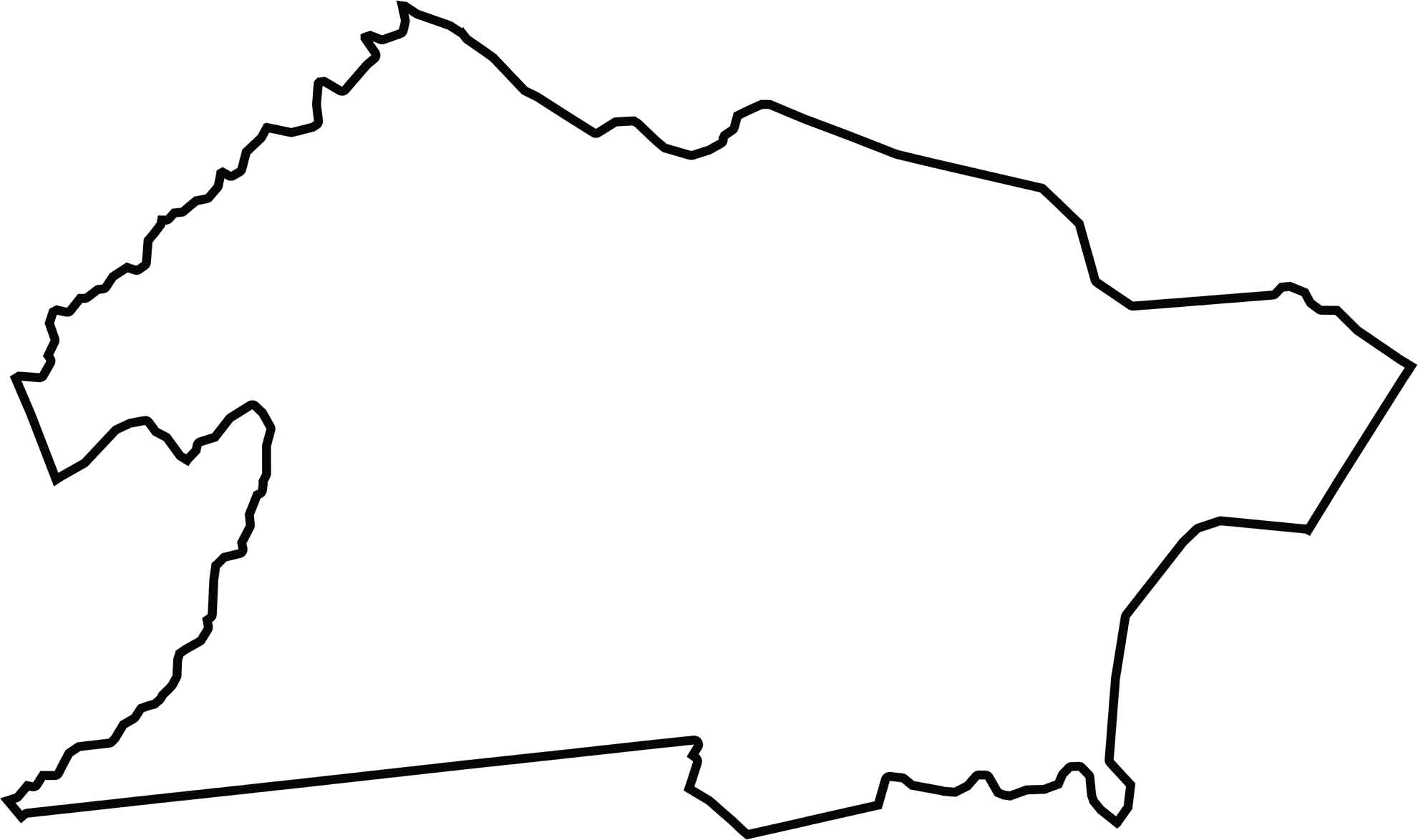
Union County has a compact, boxy shape with a couple of jagged edges. It doesn't touch another state, but it sits tight among dense neighbors and is surrounded on all sides.







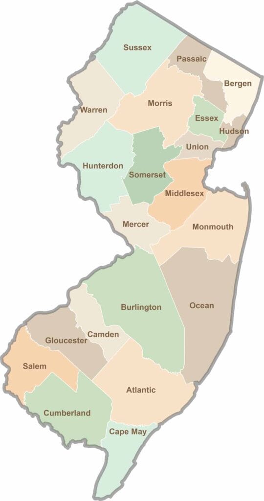
New Jersey packs a lot into its 21 counties, from beach towns and Pine Barrens forests to rolling farmland. Trace colonial history in Hunterdon County or stroll the boardwalk in Ocean County. There's far more here than meets the Turnpike.