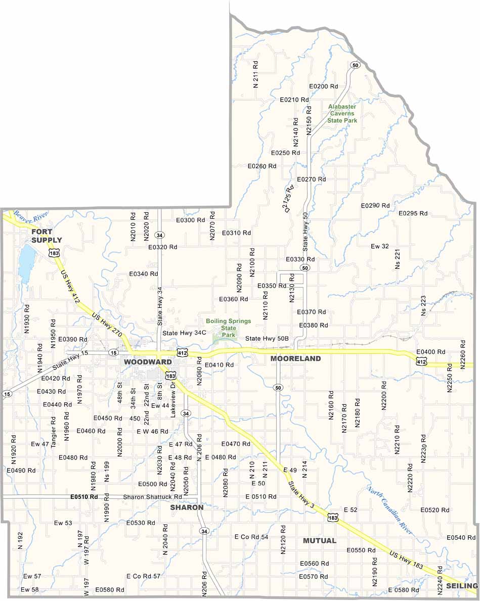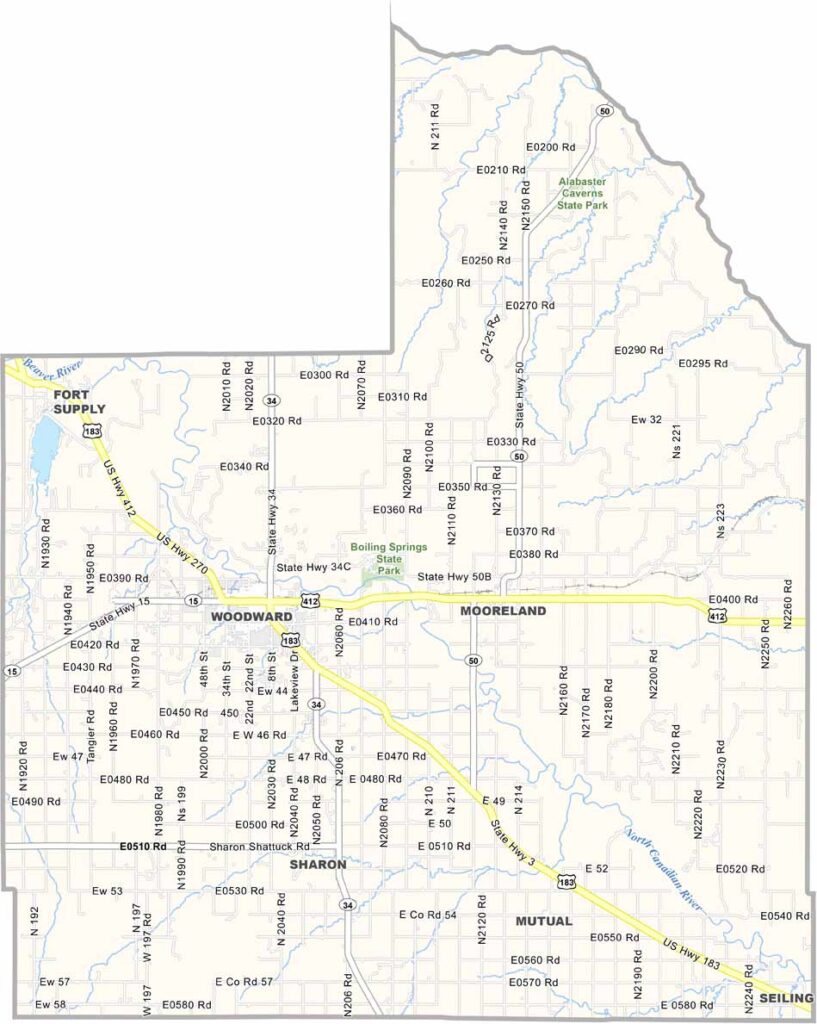
Woodward County Map, Oklahoma

Woodward County, Oklahoma

Out on the western Oklahoma plains, Woodward County has built a reputation of its own. This is cattle country through and through, and the Woodward Elks Rodeo, still going strong after more than 90 years, is a major event for the community.

Oil and gas keep the economy humming, while wind farms are appearing across the landscape. The county seat, also called Woodward, has an appealing downtown where trendy coffee shops sit beside old-fashioned feed stores.

Boiling Springs State Park is a local favorite for camping and fishing, and the Great Salt Plains are a short drive away. Woodward County shows that western Oklahoma has more to offer than first meets the eye.
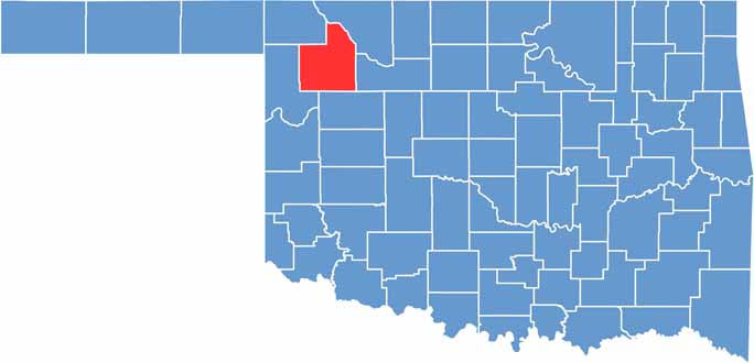

Location map of Woodward County, Oklahoma
CategoryDetails
County NameWoodward County
County SeatWoodward
EtymologyNamed after Brinton W. Woodward, a Santa Fe Railway director
Cities, Towns, and CommunitiesWoodward, Mooreland, Fort Supply, Sharon, Mutual
Interstates and HighwaysU.S. Highway 270, U.S. Highway 412, State Highway 15, State Highway 34
FIPS Code40-153
Total Area (Land and Water)1,246 square miles (1,242 sq mi land, 4 sq mi water)
Adjacent Counties (and Direction)Dewey County (South), Ellis County (West), Harper County (Northwest), Major County (East), Woods County (Northeast)
Time ZoneCentral Time Zone (CST)
StateOklahoma
Coordinates36°25’N, 99°16’W
Major LandmarksBoiling Springs State Park, Plains Indians and Pioneers Museum, Fort Supply Lake
PopulationApproximately 20,000
Scroll to Top