
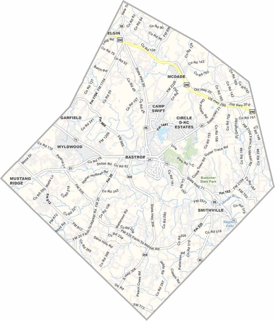
Bastrop County is located east of Austin, Texas. It’s like a slice of old Texas with a modern twist. The county has a rich history dating back to 1837.
Ever heard of the “Lost Pines”? They’re here. This unique forest of loblolly pines is isolated from the East Texas Piney Woods, drawing visitors from all over. Bastrop State Park is another major attraction.
The Colorado River runs right through the county, making it perfect for kayaking and fishing. Barbecue joints and small-town charm? You bet. The county is growing quickly, but it still feels like home.
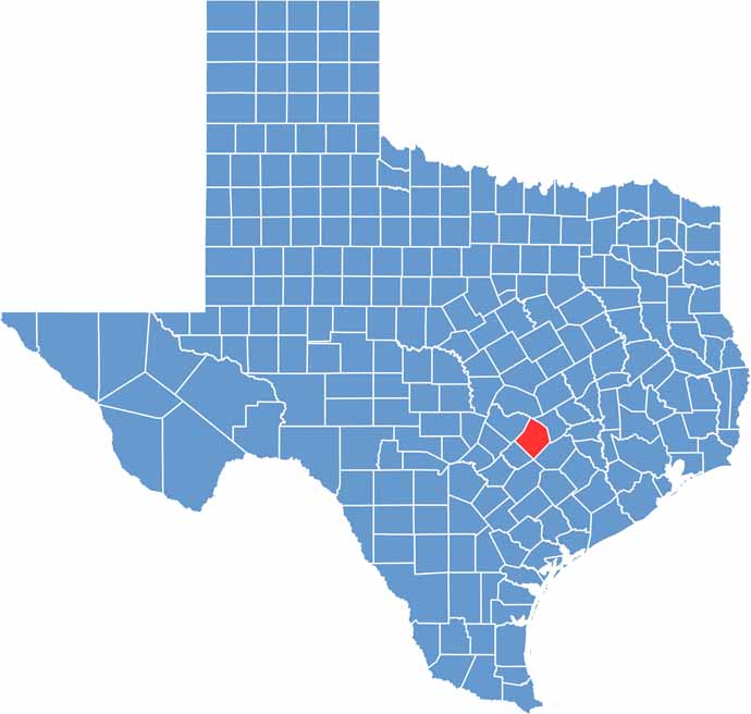
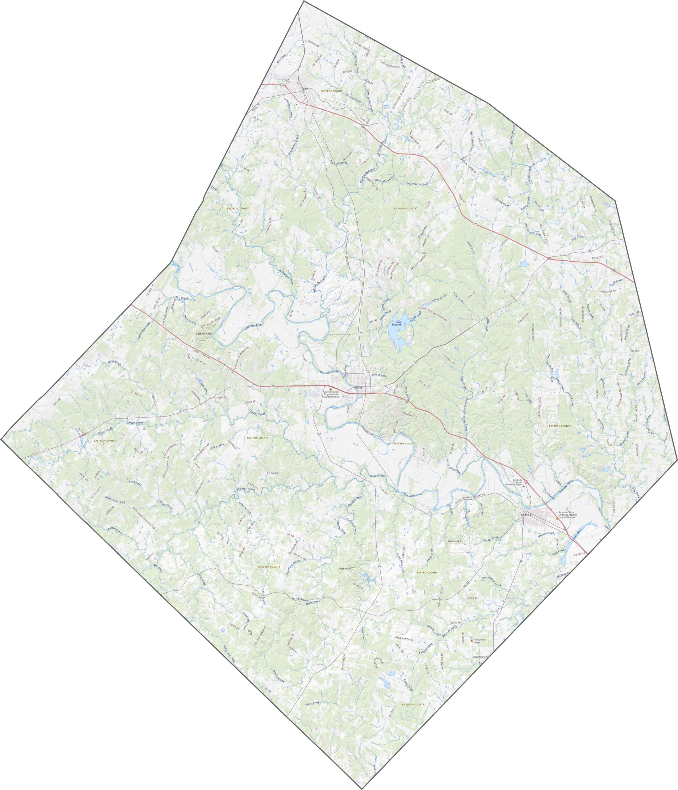
Bastrop County’s topography stands out because of the Lost Pines region. It’s a pocket of forest that doesn’t quite match the surrounding landscape. The Colorado River cuts across the area, adding curves and bends to the terrain.
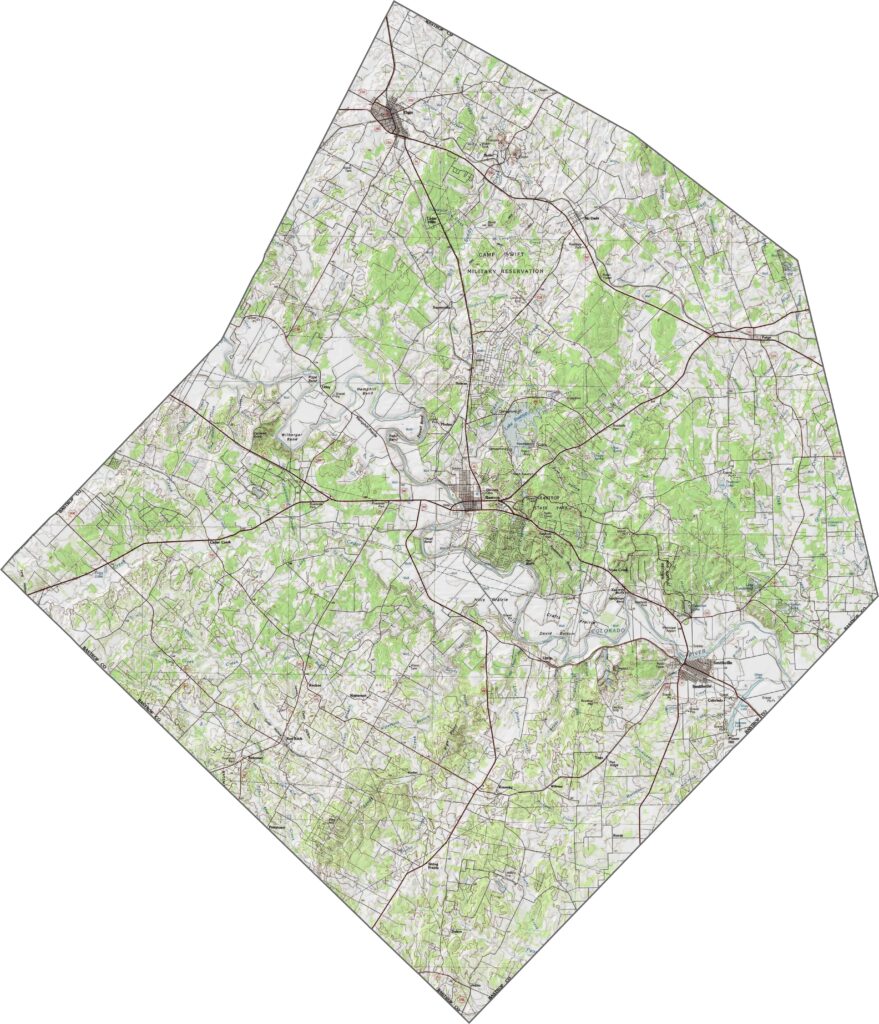
The road system in Bastrop County spreads east of Austin. U.S. Highway 290 is the main route here. Although development is moving outward, some rural stretches still feel untouched. Try our zoom tool to explore everything down to the last curve.
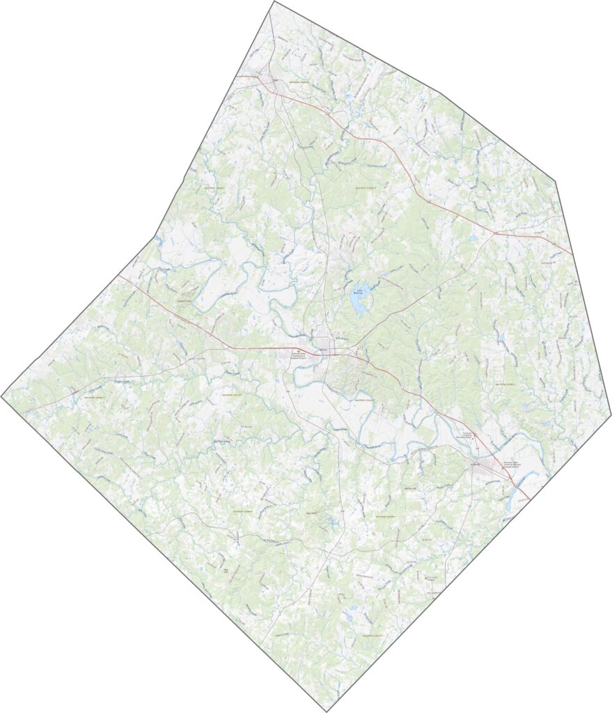
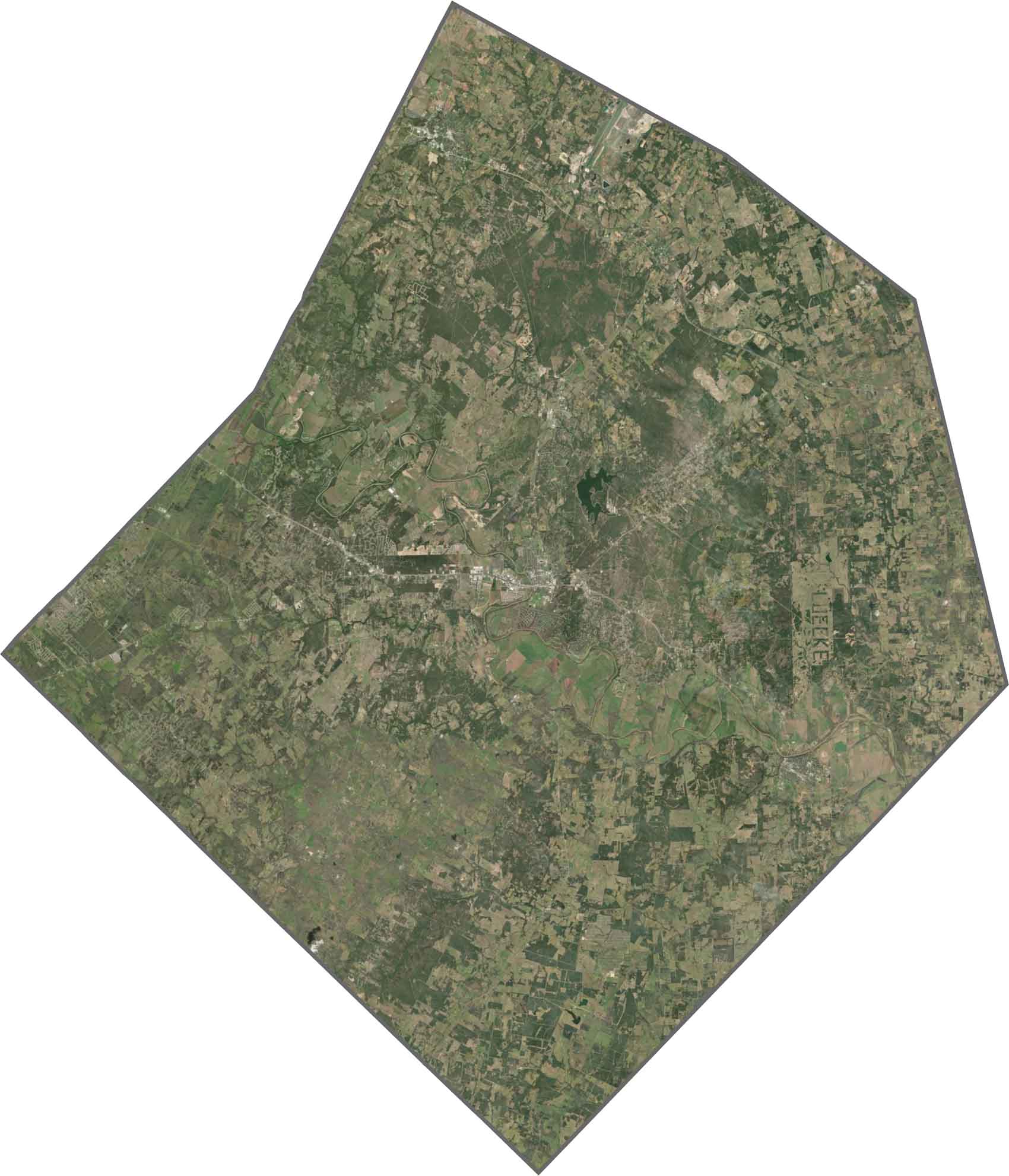
From above, the pine forests in the west appear darker and denser. Towns such as Bastrop look compact, surrounded by scattered subdivisions. As you move southeast, the land opens up, with fewer rooftops and more open space.
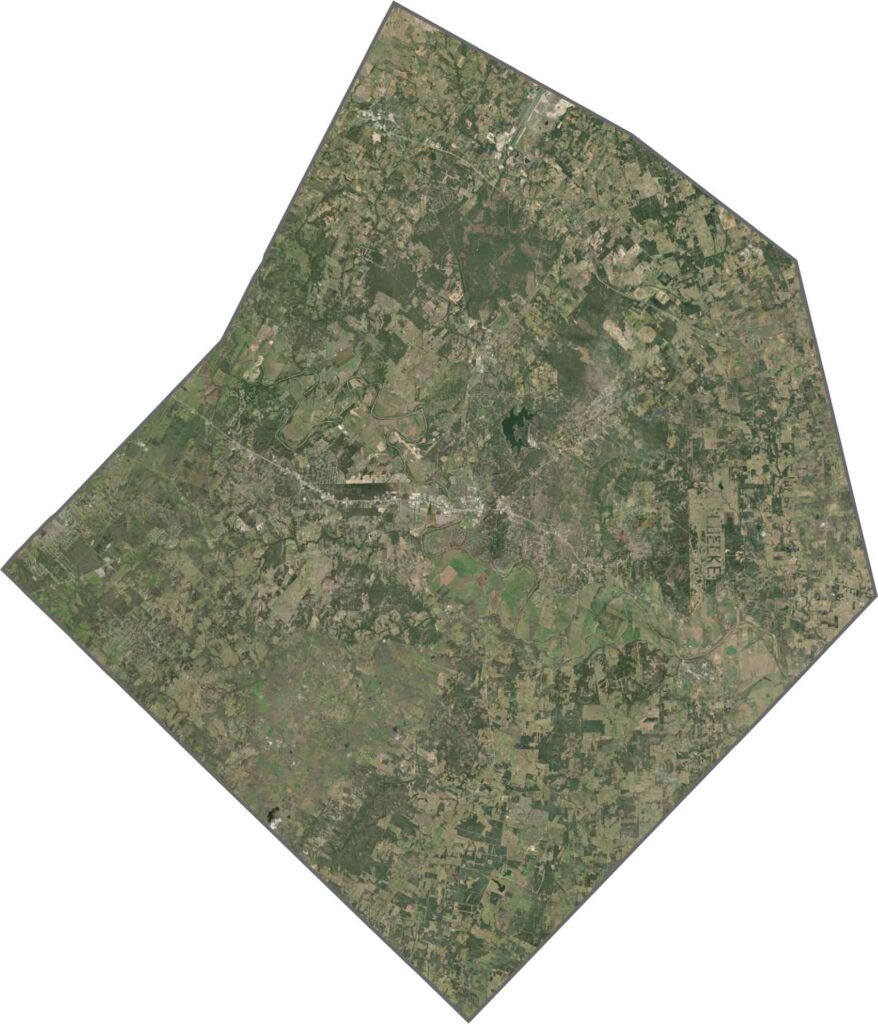
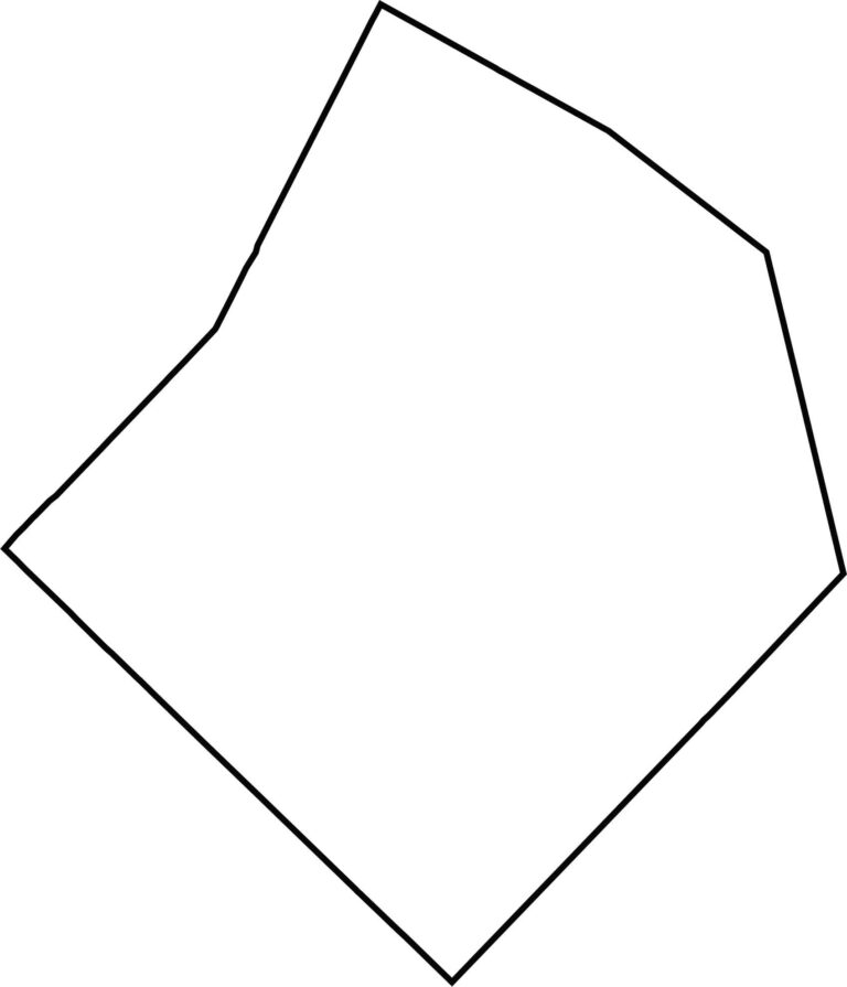
Bastrop County has an irregular, angular shape. There are no state borders here, just neighboring Texas counties on all sides. The edges hardly wiggle, with most boundaries forming straight lines.






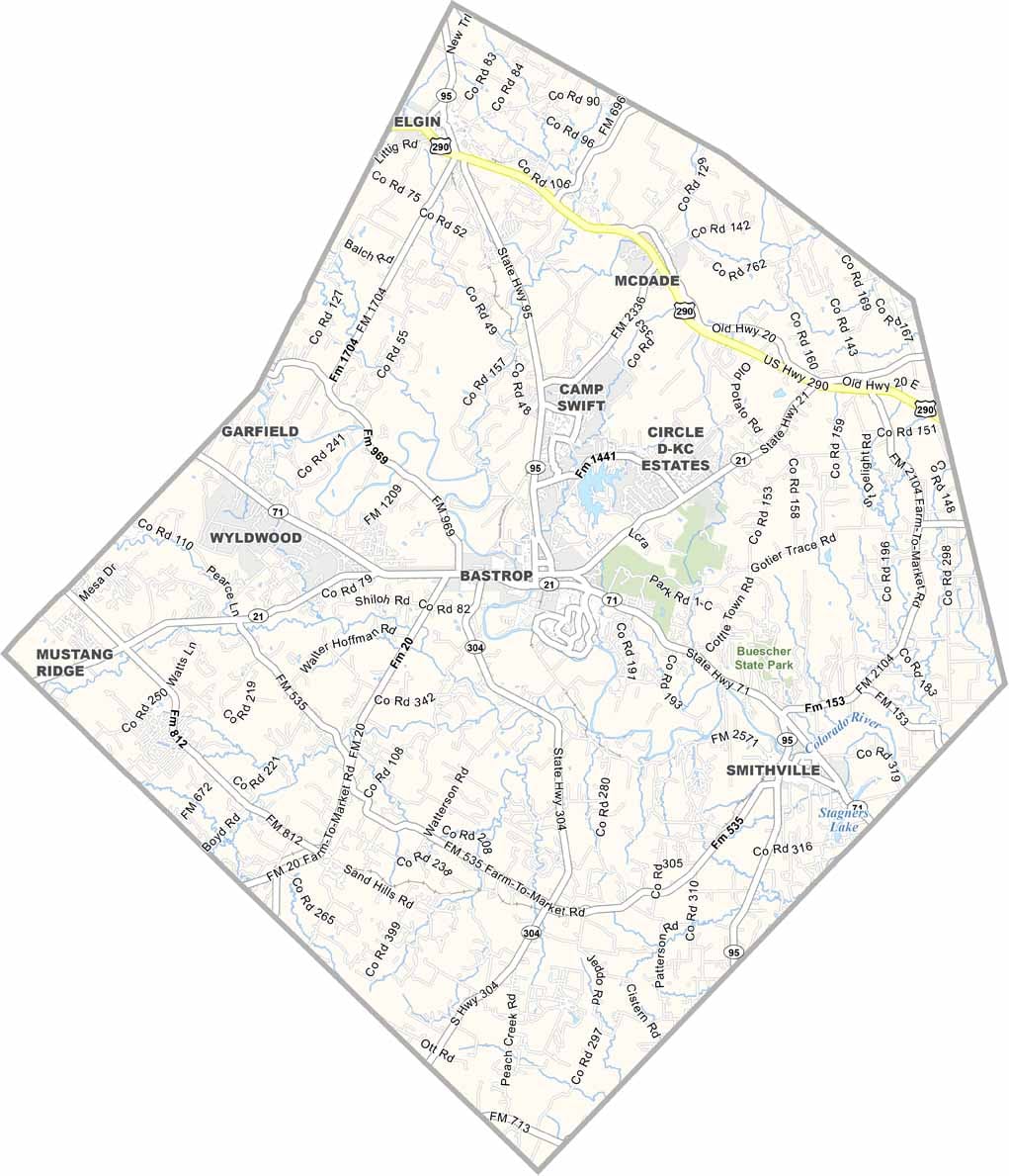
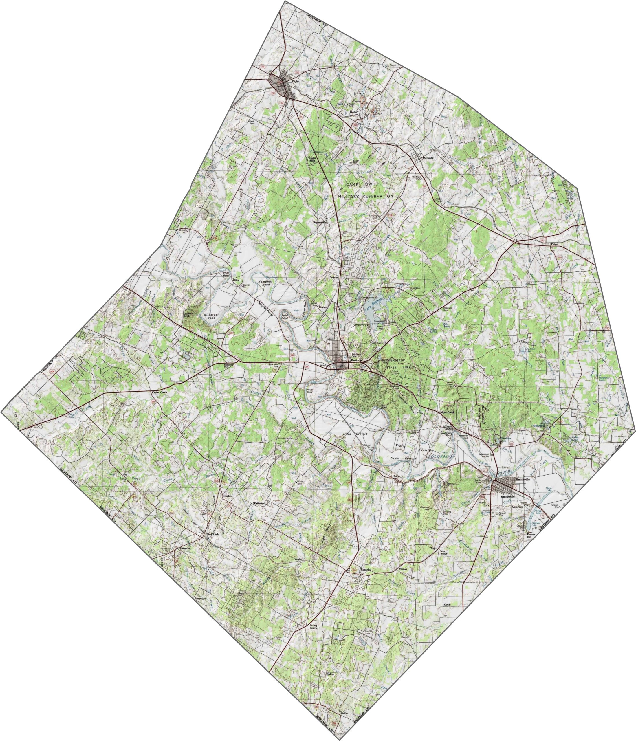


Discover all 254 legendary Texas county maps, covering the Lone Star State from the Panhandle to the Rio Grande. That means more rodeos, honky-tonk, and Texas BBQ.