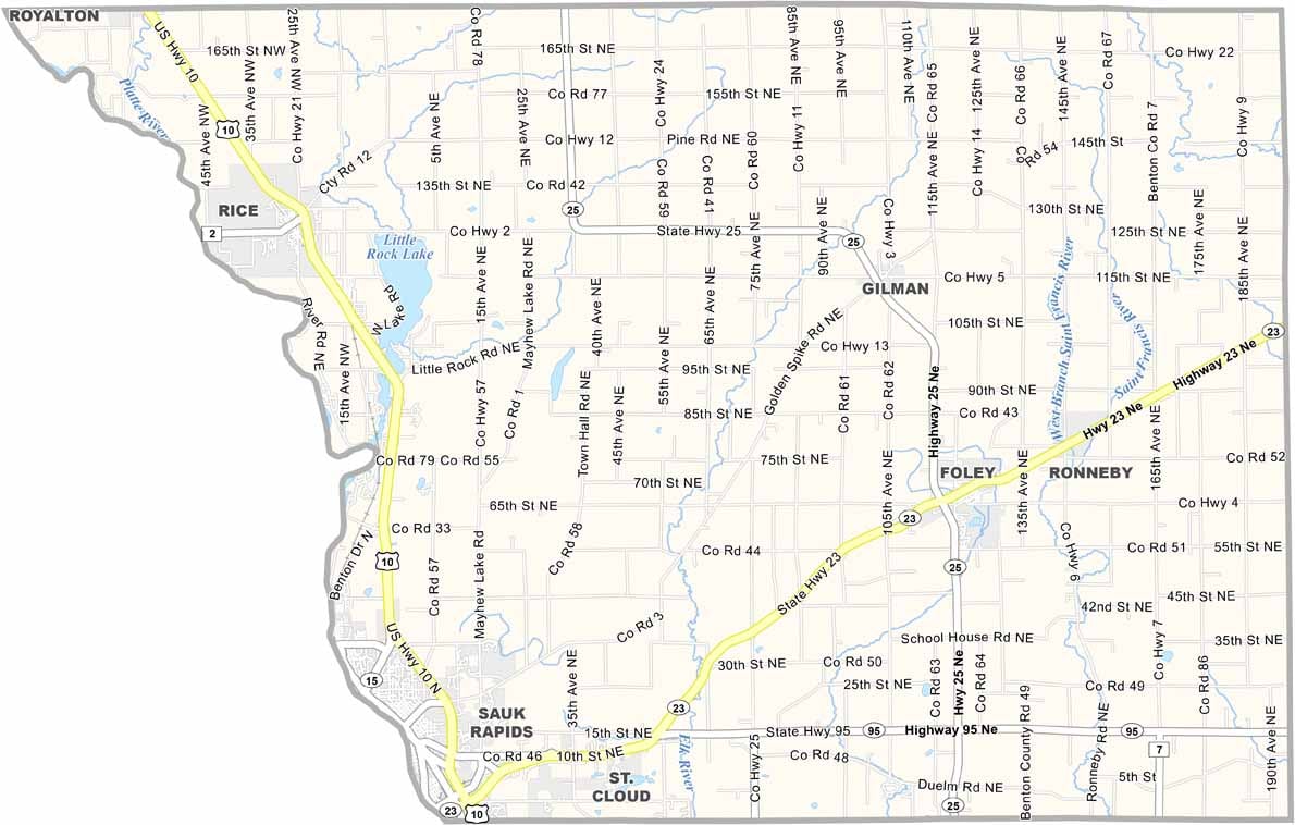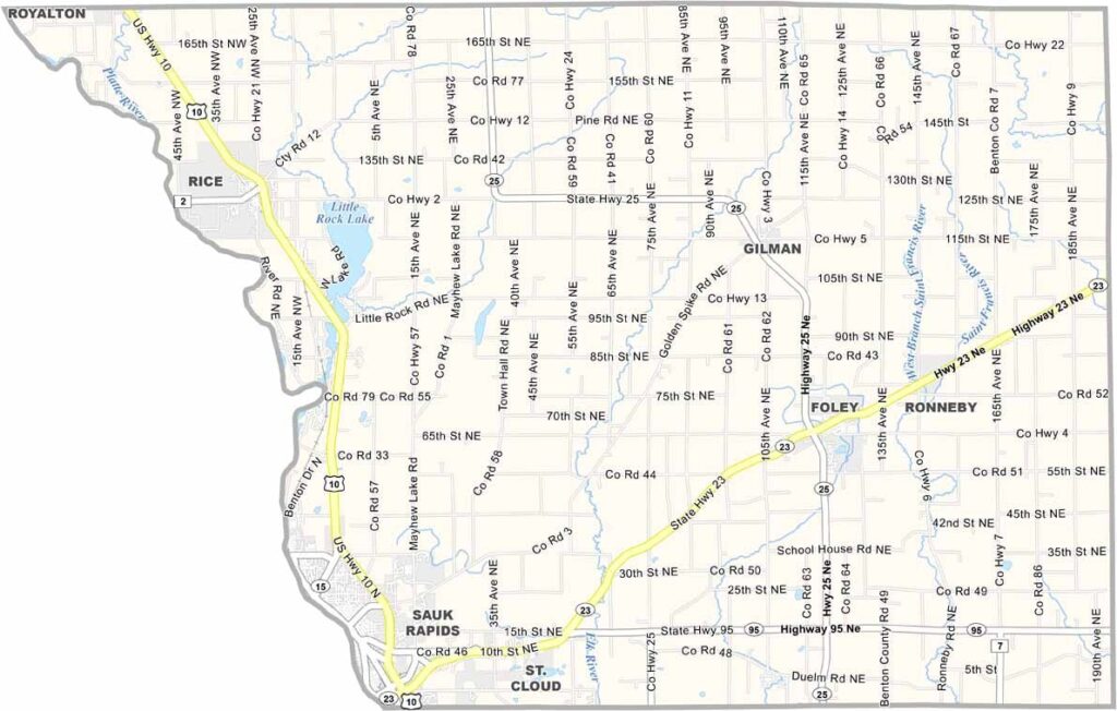
Benton County Map, Minnesota

Benton County, Minnesota

Central Minnesota is home to Benton County, where the Mississippi River winds its way along the western border. It's not a huge county, but it has plenty of character.

St. Cloud sits right on its western edge, giving locals easy access to city amenities. Farms dot the countryside, and there are plenty of lakes for fishing and boating. Foley, the county seat, is located in the center.

Winters here bring lots of snow and ice, but when summer rolls around, it's gorgeous. Visitors love the Benton Beach area for swimming and picnics. The county's history goes back to 1849, and it was named after a Missouri senator.
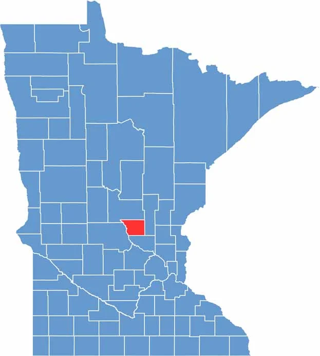

Benton County location map of Minnesota
CategoryDetails
County NameBenton County
County SeatFoley
PopulationApproximately 41,000
Cities, Towns, and CommunitiesSauk Rapids, Foley, Rice, Sartell, Gilman, St. Cloud
Interstates and HighwaysUS 10, MN 23, MN 25, MN 95
FIPS Code27-009
Total Area (Land and Water)413 square miles (Land: 408 sq mi, Water: 5 sq mi)
Adjacent Counties (and Direction)Mille Lacs County (East), Sherburne County (South), Stearns County (West), Morrison County (North)
Time ZoneCentral Time Zone (CT)
StateMinnesota
Coordinates45.6644° N, 93.9962° W
EtymologyNamed after Thomas Hart Benton, a U.S. Senator from Missouri
Major LandmarksBend in the River Regional Park, Benton Beach, Sauk Rapids Regional Bridge, Lake George
Scroll to Top