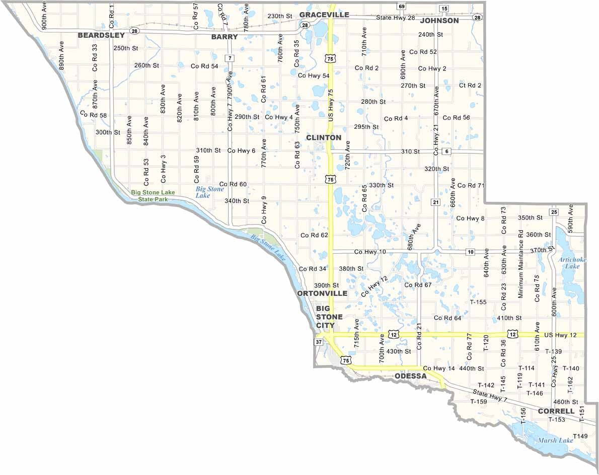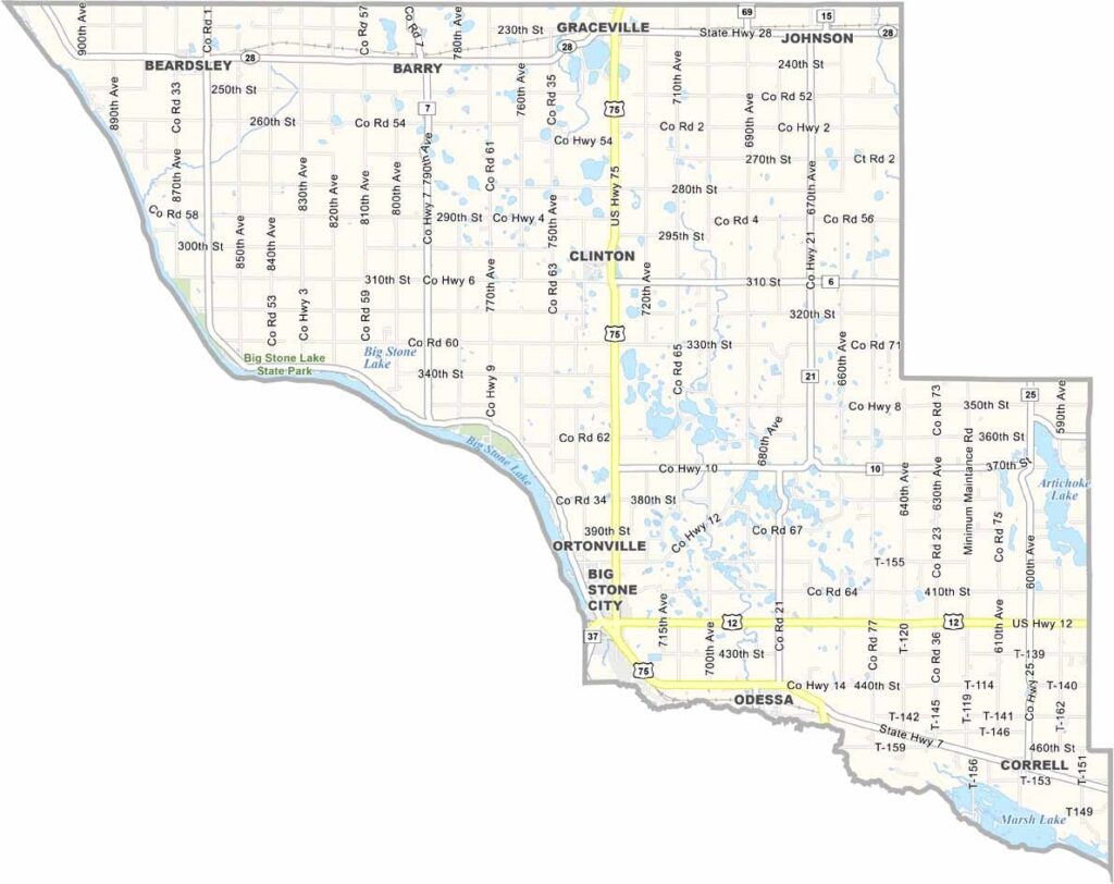
Big Stone County Map, Minnesota

Big Stone County, Minnesota

Big Stone County sits on the western edge of Minnesota, right along the South Dakota border. It's a place where the prairie meets the sky, with rolling hills and sprawling farmland as far as the eye can see.

The county got its name from Big Stone Lake, which lies along its western border. It's the source of the Minnesota River and a major draw for fishing and boating.

These days, you'll find a mix of small towns and wide-open spaces, perfect for folks who like their elbow room. Farming is the lifeblood of the area, with corn and soybeans as popular crops.
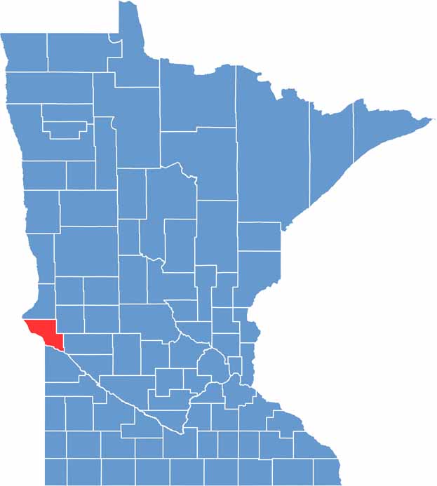

Big Stone County location map of Minnesota
CategoryDetails
County NameBig Stone County
County SeatOrtonville
PopulationApproximately 5,000
Cities, Towns, and CommunitiesOrtonville, Graceville, Clinton, Beardsley, Odessa, Correll
Interstates and HighwaysUS 12, US 75, MN 7
FIPS Code27-011
Total Area (Land and Water)528 square miles (Land: 496 sq mi, Water: 32 sq mi)
Adjacent Counties (and Direction)Traverse County (North), Stevens County (Northeast), Swift County (Southeast), Lac qui Parle County (South), Grant County, South Dakota (Southwest), Roberts County, South Dakota (Northwest)
Time ZoneCentral Time Zone (CT)
StateMinnesota
Coordinates45.3642° N, 96.4370° W
EtymologyNamed after Big Stone Lake, which is on the western border of the county
Major LandmarksBig Stone Lake State Park, Big Stone National Wildlife Refuge, Ortonville Golf Course
Scroll to Top