
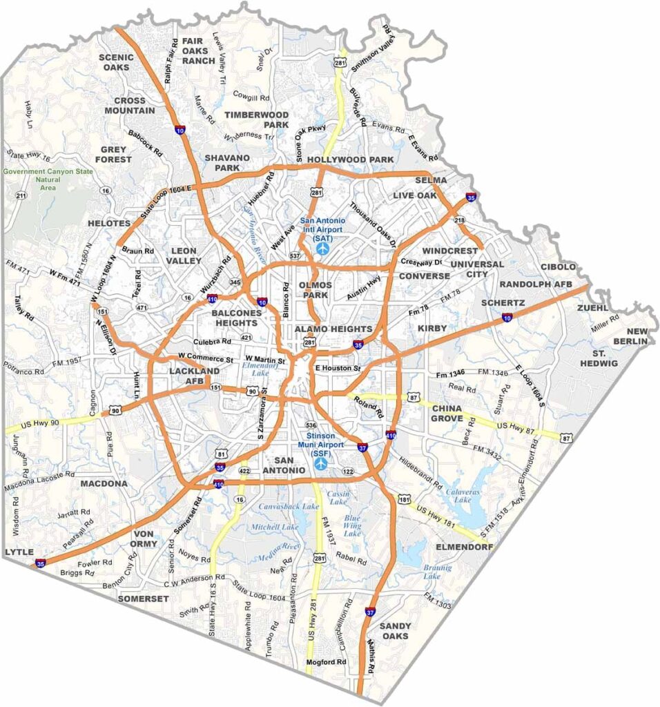
Bexar County is the heart of South Texas, with San Antonio as its biggest draw. The Alamo sits right in downtown, but there’s much more to Bexar County than just San Antonio.
The county stretches from the Edwards Plateau to the coastal plains. It’s a mix of urban and rural, old and new. The historic missions are a UNESCO World Heritage site and are definitely worth seeing.
The River Walk is always buzzing. The food scene is amazing, with Tex-Mex, barbecue, and plenty more. The county is growing quickly, bringing lots of job opportunities. But it hasn’t lost its soul. It’s pure Texas, through and through.
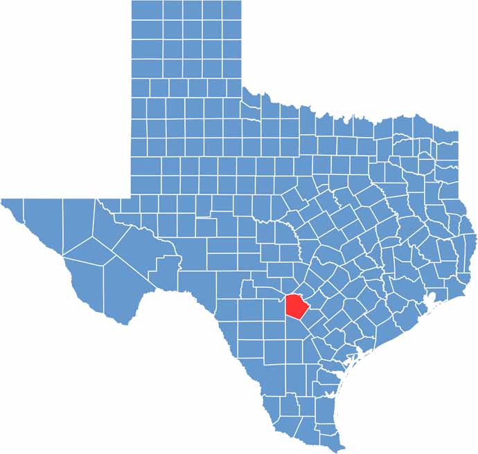
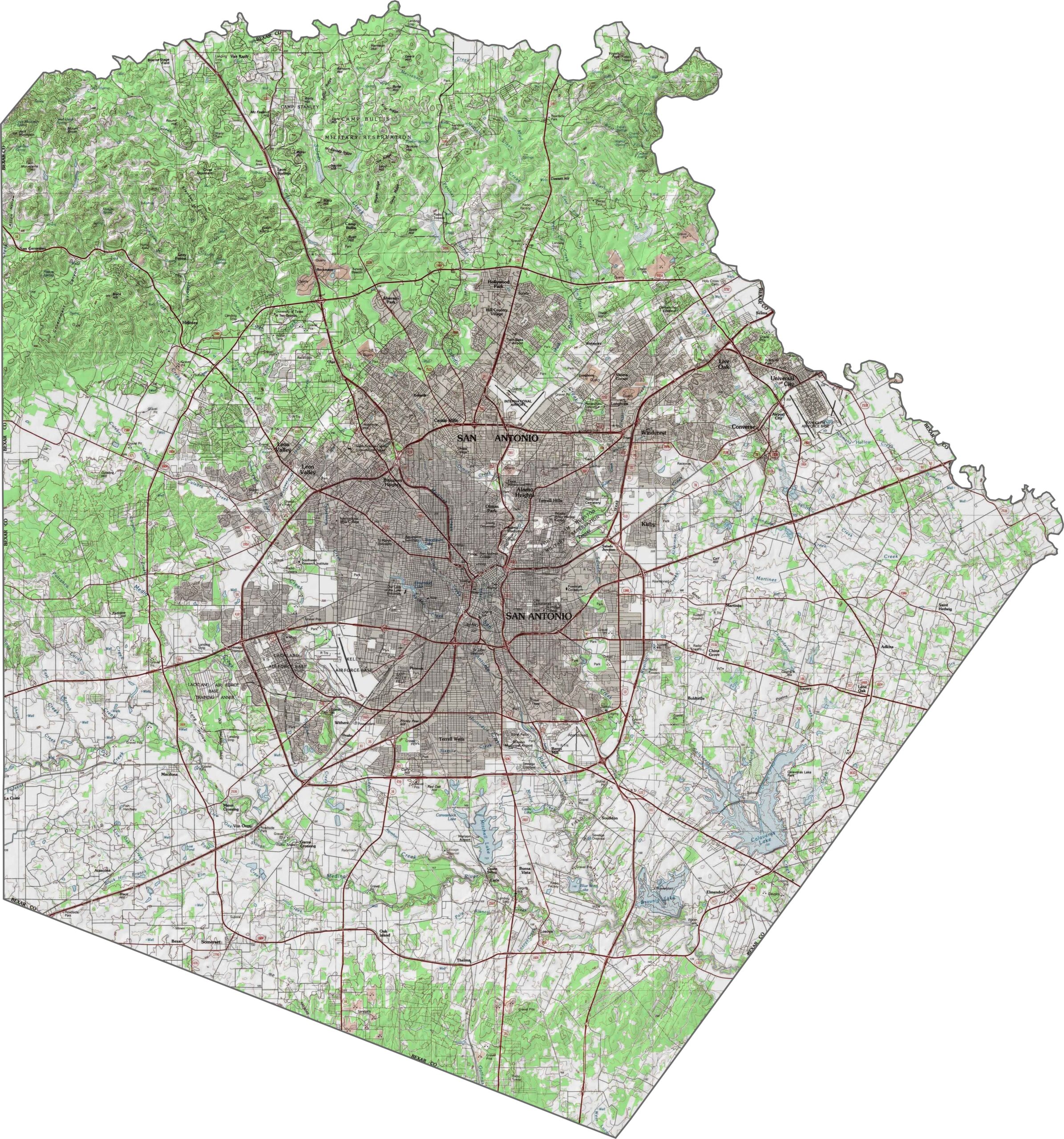
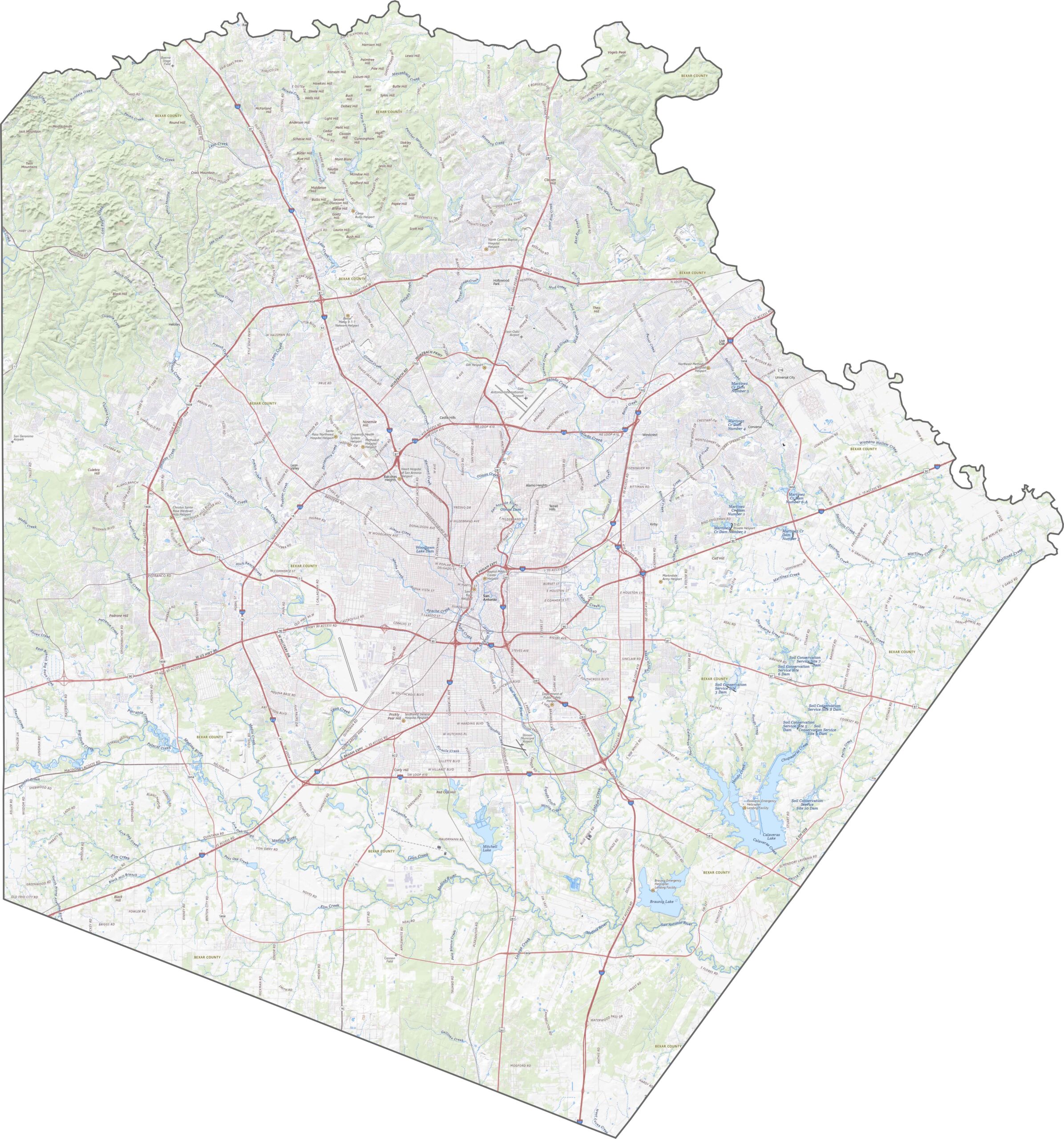
Bexar County marks the transition between the flat South Texas plains and the rocky uplift of the Hill Country. Elevation generally increases westward, with rocky ridges and deeper canyons. The center, especially around the city, is flatter and lower.
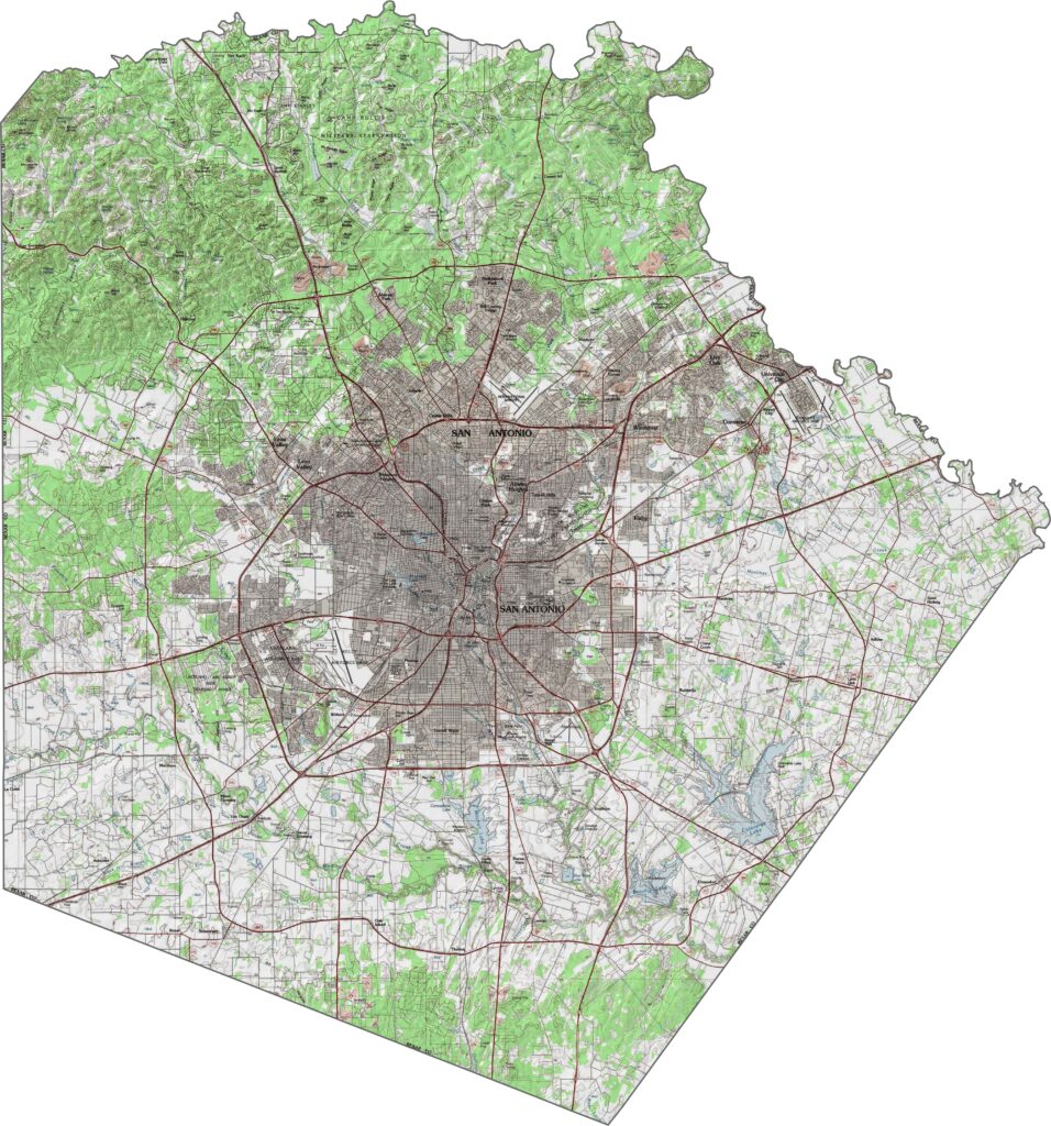
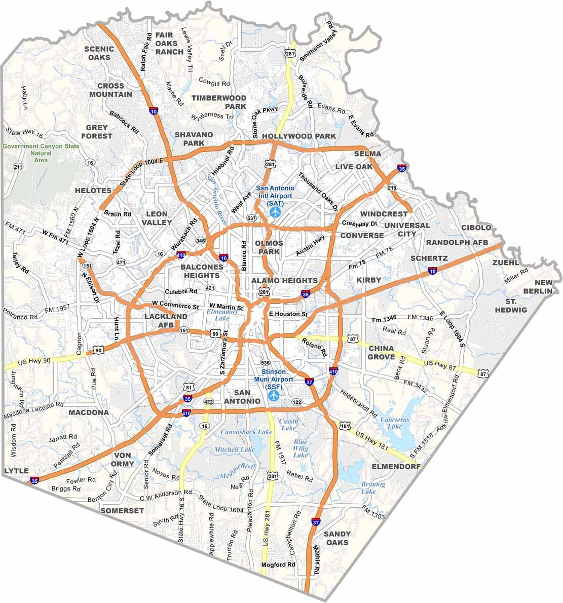
The highway network here is dense and layered. Loop roads wrap around San Antonio, most notably I-410. State Route 1604 forms an even wider circle around the city. It’s busy here and always in motion. For a closer look at Bexar County’s road network, try our zoom tool below.
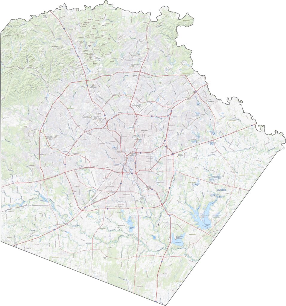
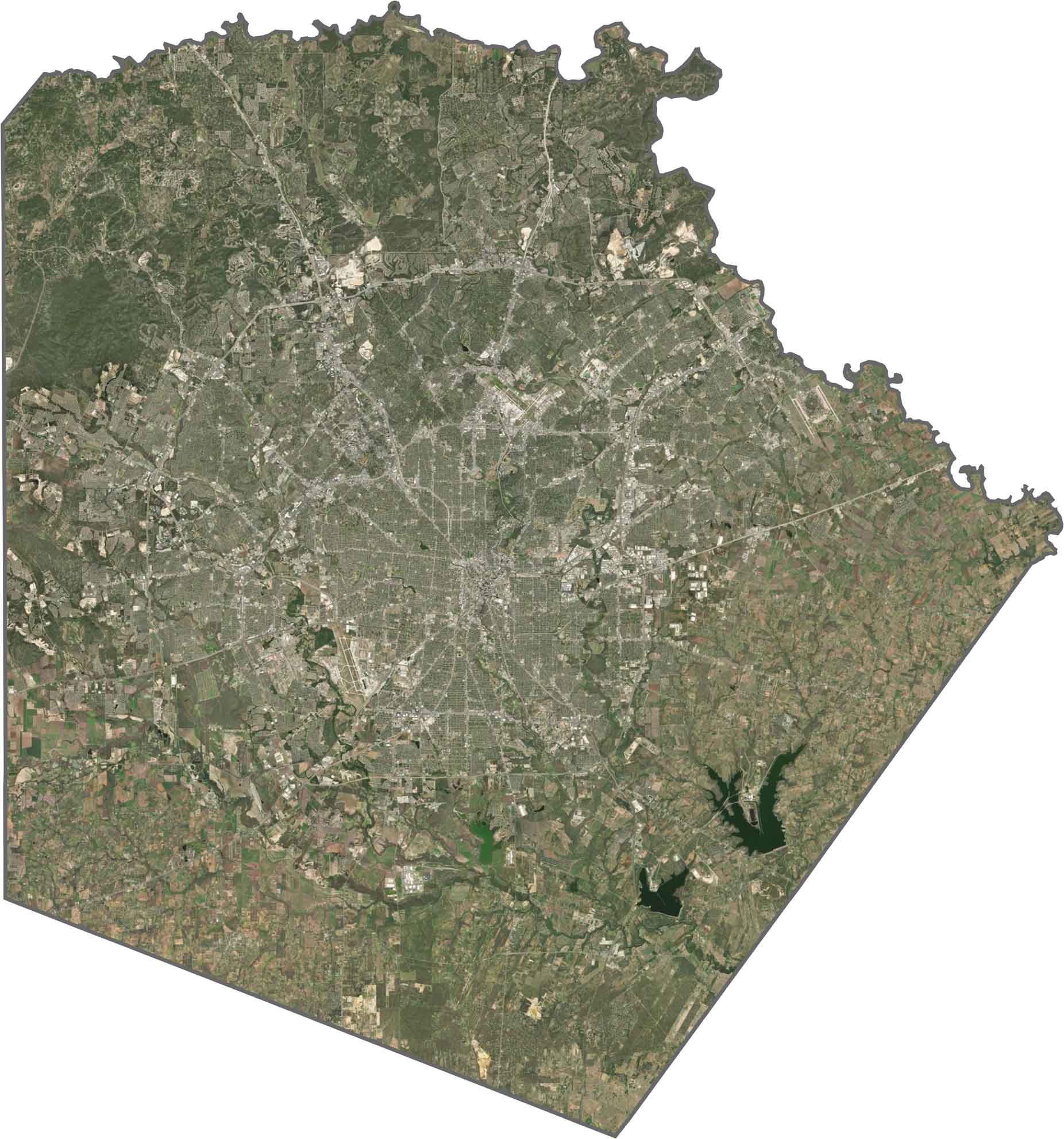
San Antonio dominates the center with mostly gray development. Even with that density, green spaces such as parks and creeks still stand out. The southern half shows more agriculture and fewer rooftops. In contrast, the northwest is visibly more rugged, with hillier textures and darker tree cover.
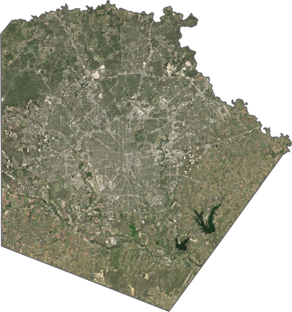
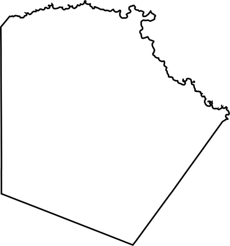
Bexar County has a bulky shape with jagged outer edges. The northern boundary partly follows Balcones Creek, while the southern border has a more triangular shape. It doesn’t border another state and sits relatively close to the center of Texas.








Discover all 254 legendary Texas county maps, covering the Lone Star State from the Panhandle to the Rio Grande. That means more rodeos, honky-tonk, and Texas BBQ.