
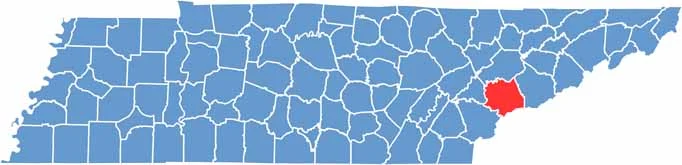
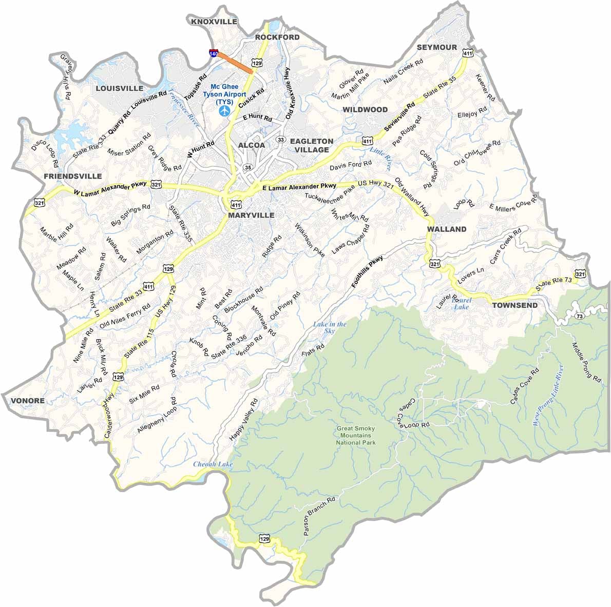
Blount County is located in eastern Tennessee, just south of Knoxville, with the Great Smoky Mountains serving as a stunning backdrop.
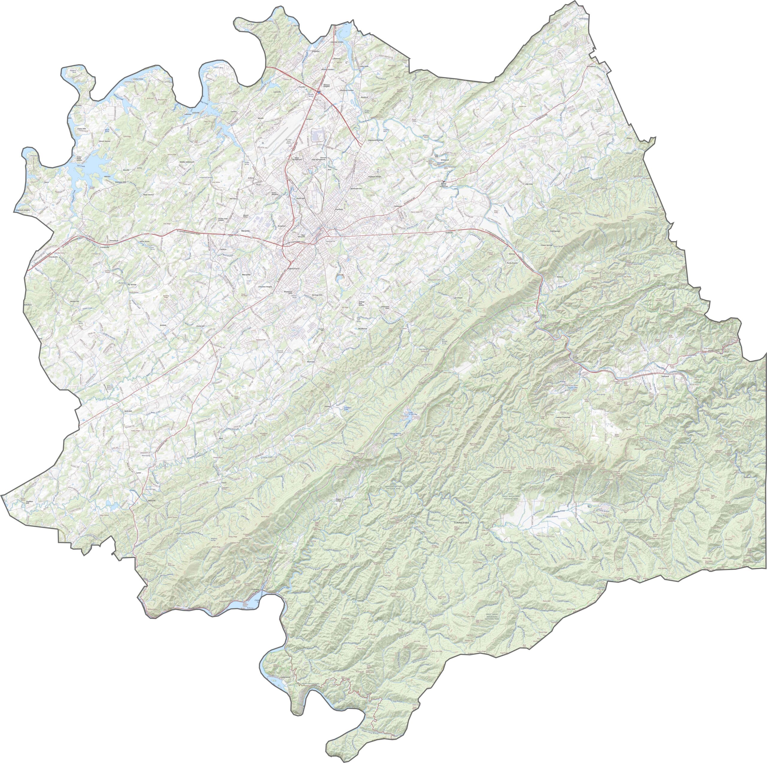
Maryville, the county seat, has an exciting downtown, and Cades Cove in Great Smoky Mountains National Park is a major draw. The Little River runs through the county, offering great tubing and fishing spots.
Townsend bills itself as the "Peaceful Side of the Smokies," and it lives up to the name. The area is rich in Cherokee history, and you can still feel that influence today. It's like stepping back in time.
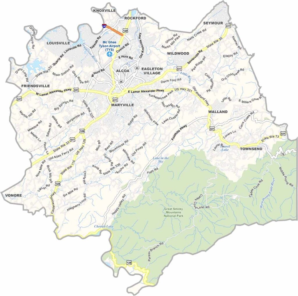
Blount County has a steady mix of roads cutting through hills and farmland. A few busier corridors, like U.S. Highway 129 and U.S. Highway 321, carry most of the traffic, but many stretches stay quiet. You can explore the entire transportation network up close with our zoom tool below.
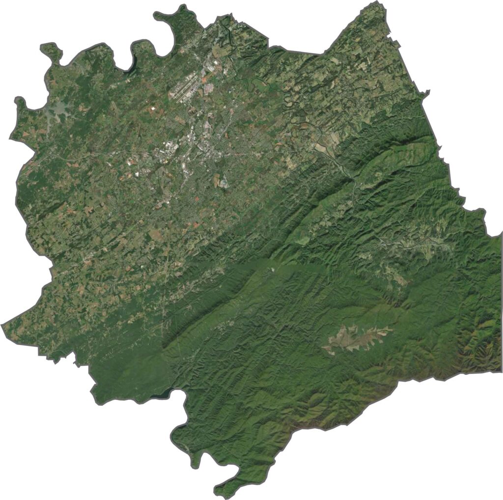
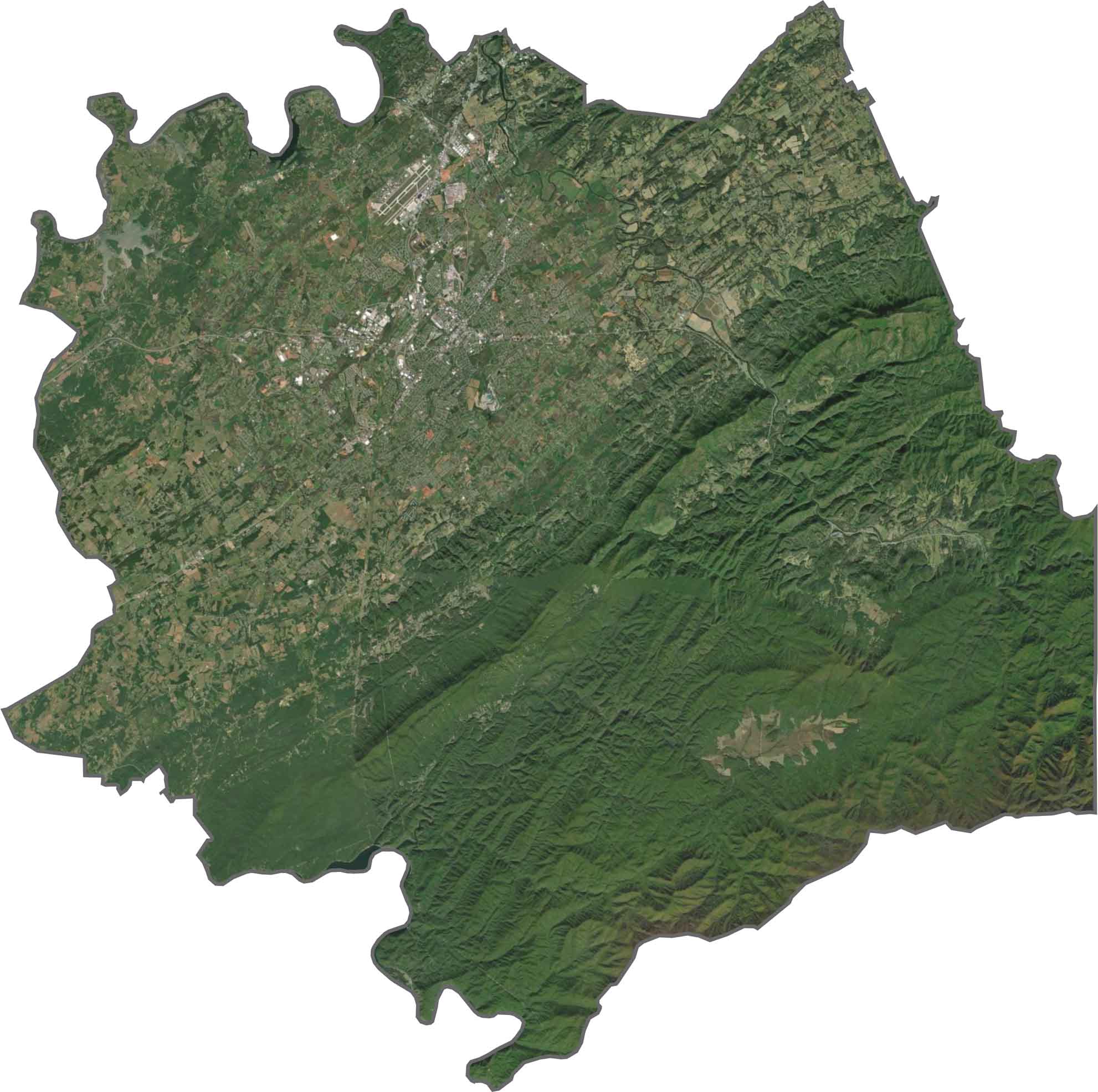
Forests cover a good chunk of the county, especially in the southern region, and patches of farmland appear wide open and geometric. Maryville is easy to spot, but it doesn't overpower the green. Toward the mountains, the view becomes one big, dark green wall.
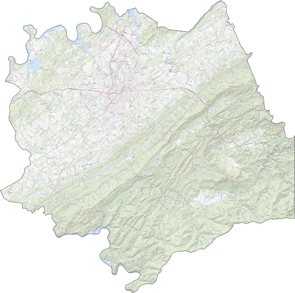
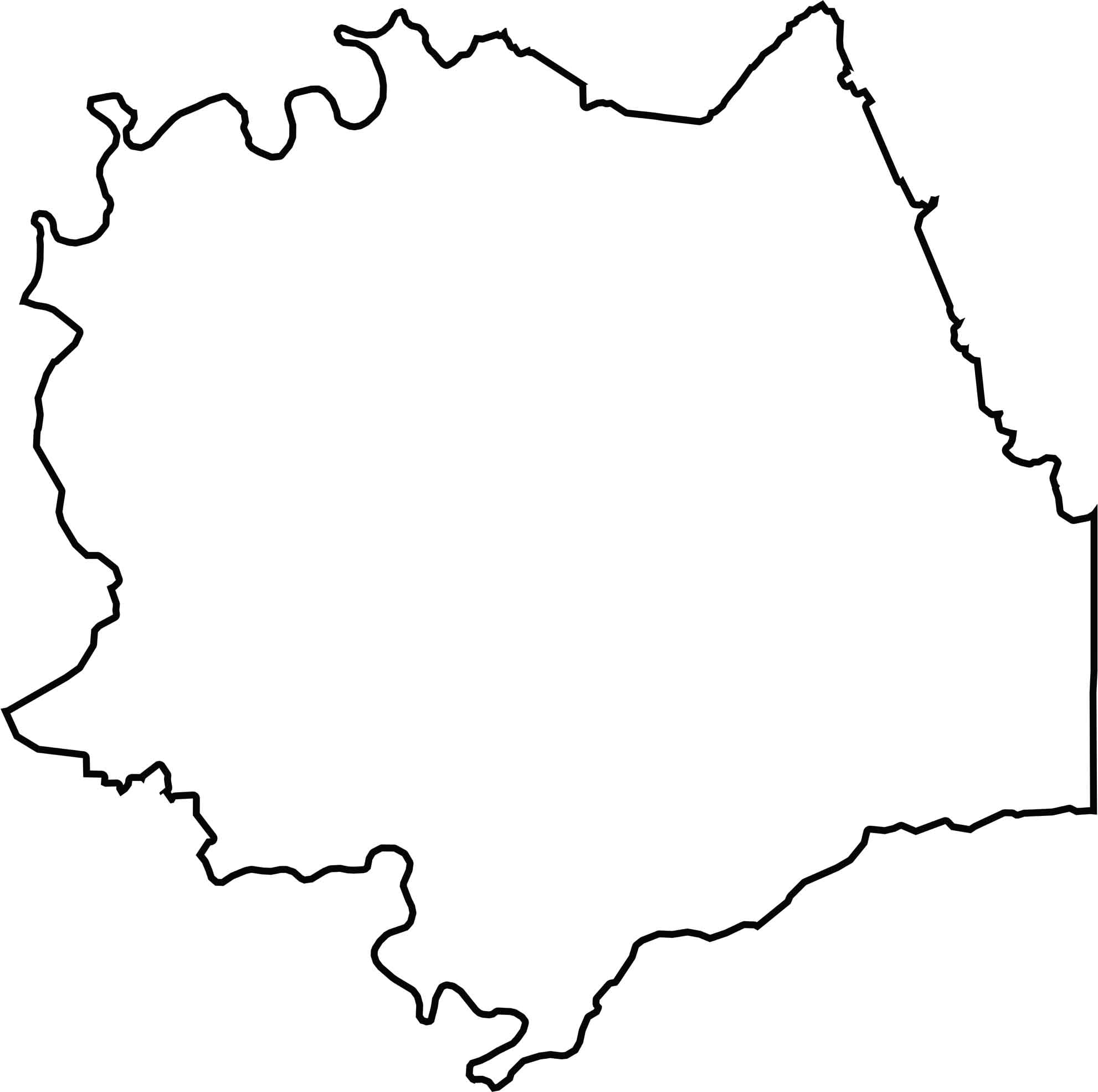
Blount County's shape is jagged and doesn't follow a clean box or curve. The Tennessee River helps shape its northern boundary, though not the entire edge, and the county borders North Carolina to the southeast.
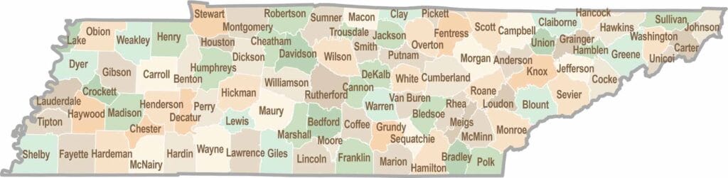
No county in Tennessee is a boring one. Some stretch through the Smokies, while others roll out into the Delta flatlands. Every county is shaped by its land, and it shows.