
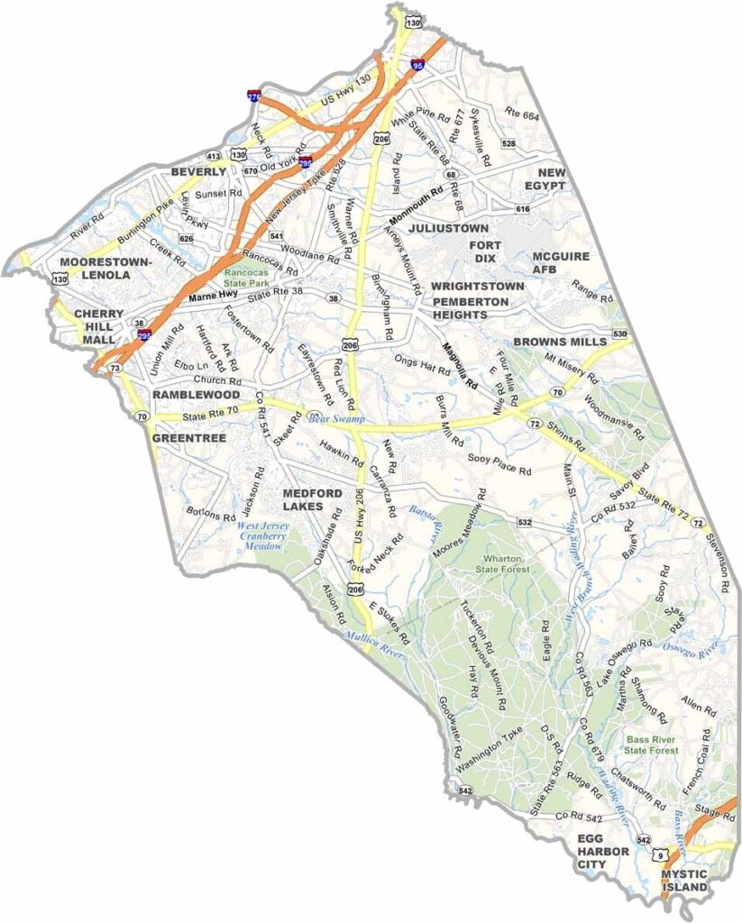
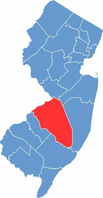
Burlington County sits in the heart of South Jersey. It’s big—really big. In fact, it’s the largest county in the state by area. Burlington stretches from the Delaware River all the way to the Pine Barrens.
The county offers a mix of suburban communities, farmland, and forests. It also has deep roots in American history. Mount Holly, the county seat, played an important role during the Revolutionary War.
Agriculture remains a major part of life in Burlington. Blueberries, cranberries, peaches—you name it, they grow it. Mount Laurel and Evesham are major suburban centers, while nature lovers can explore Wharton State Forest. It’s a great place to hike, canoe, or simply enjoy the outdoors.
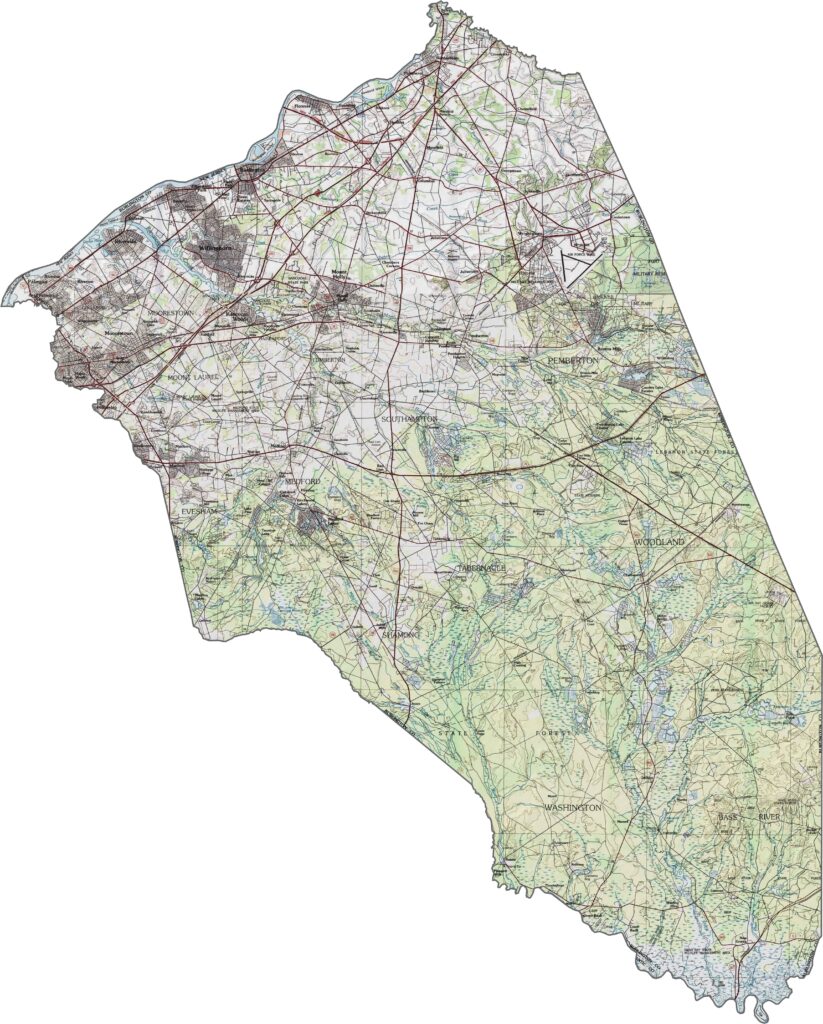
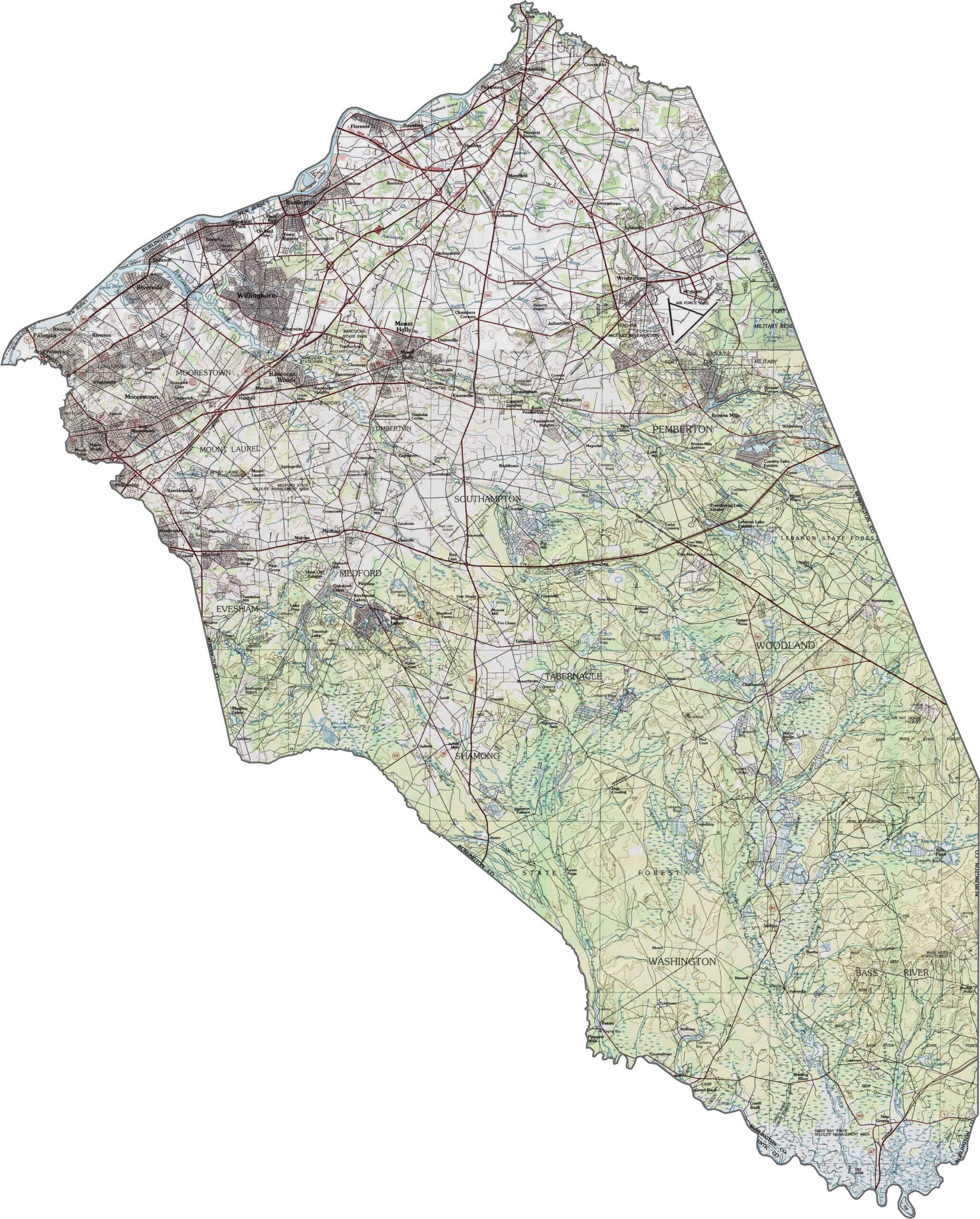
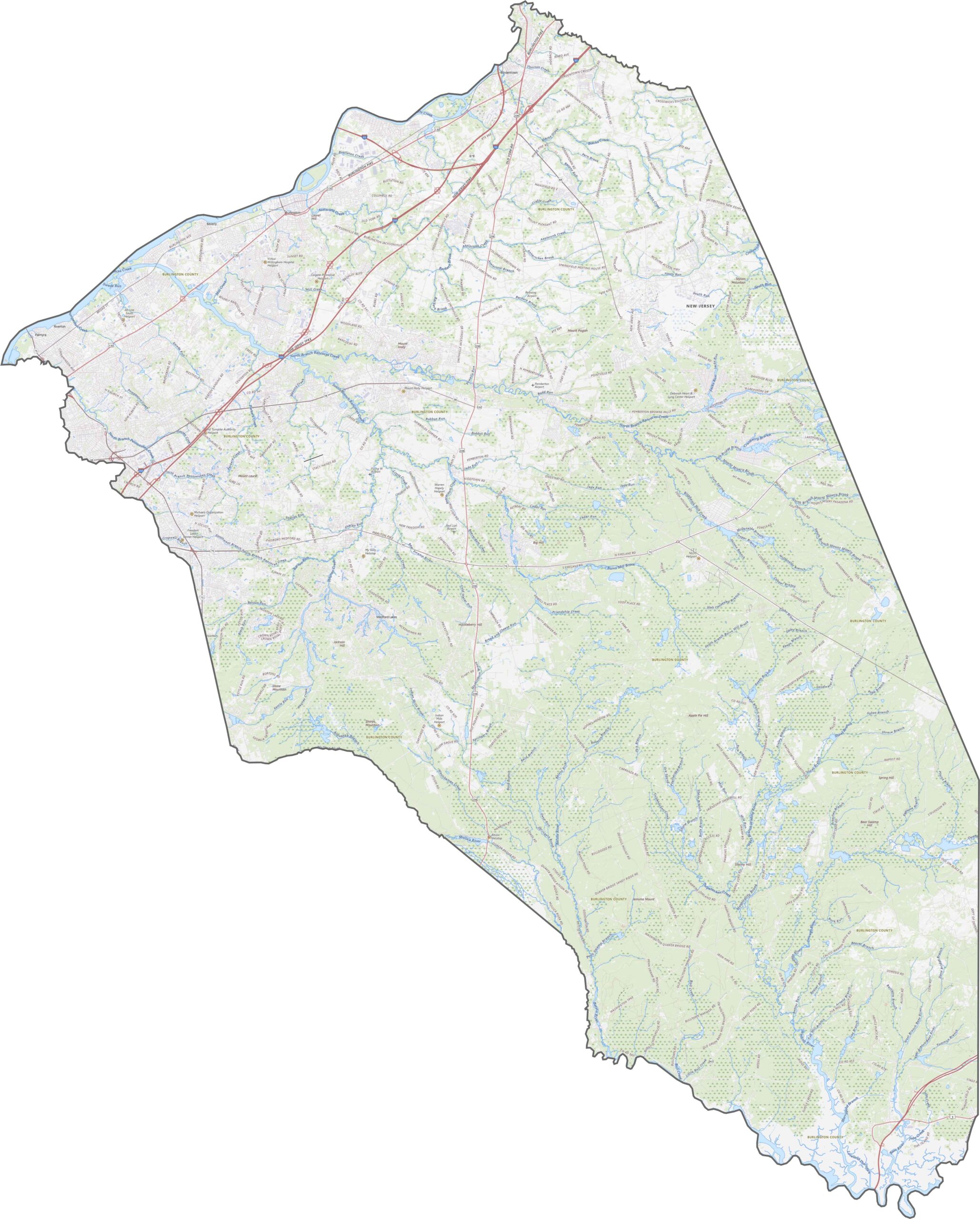
Burlington County is mostly flat, but the landscape changes gradually from west to east. The western part lies in the river valley, while pine forests become more dominant farther east, especially in the interior. The coastal plain is broad and relatively quiet. Explore the terrain with our topographic map and zoom tool below.
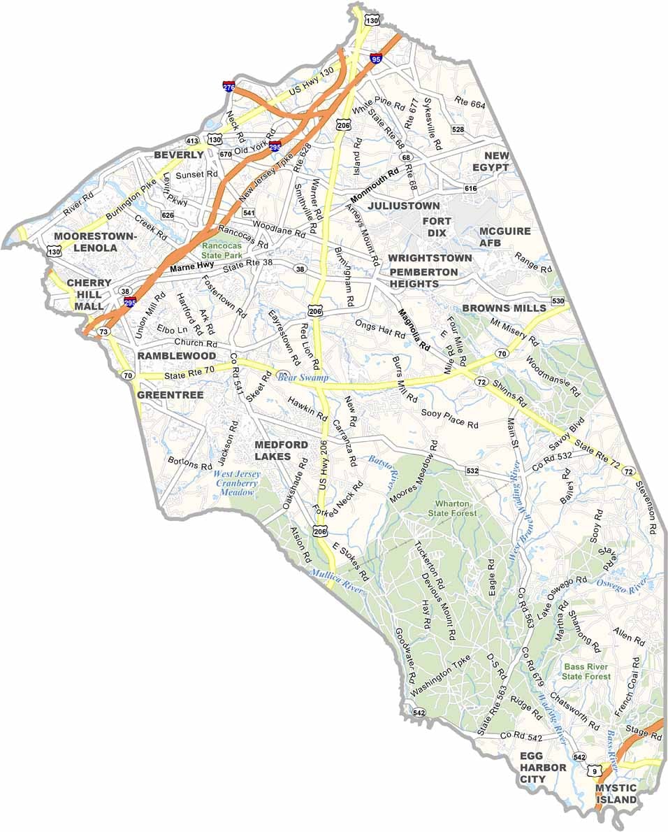
Burlington County is long and stretched out, and its highways follow that shape. I-295 runs along the western side near the Delaware River, while the New Jersey Turnpike passes through a separate corridor. Route 70 and Route 206 cross the interior. Use our road map to zoom in and follow each route.
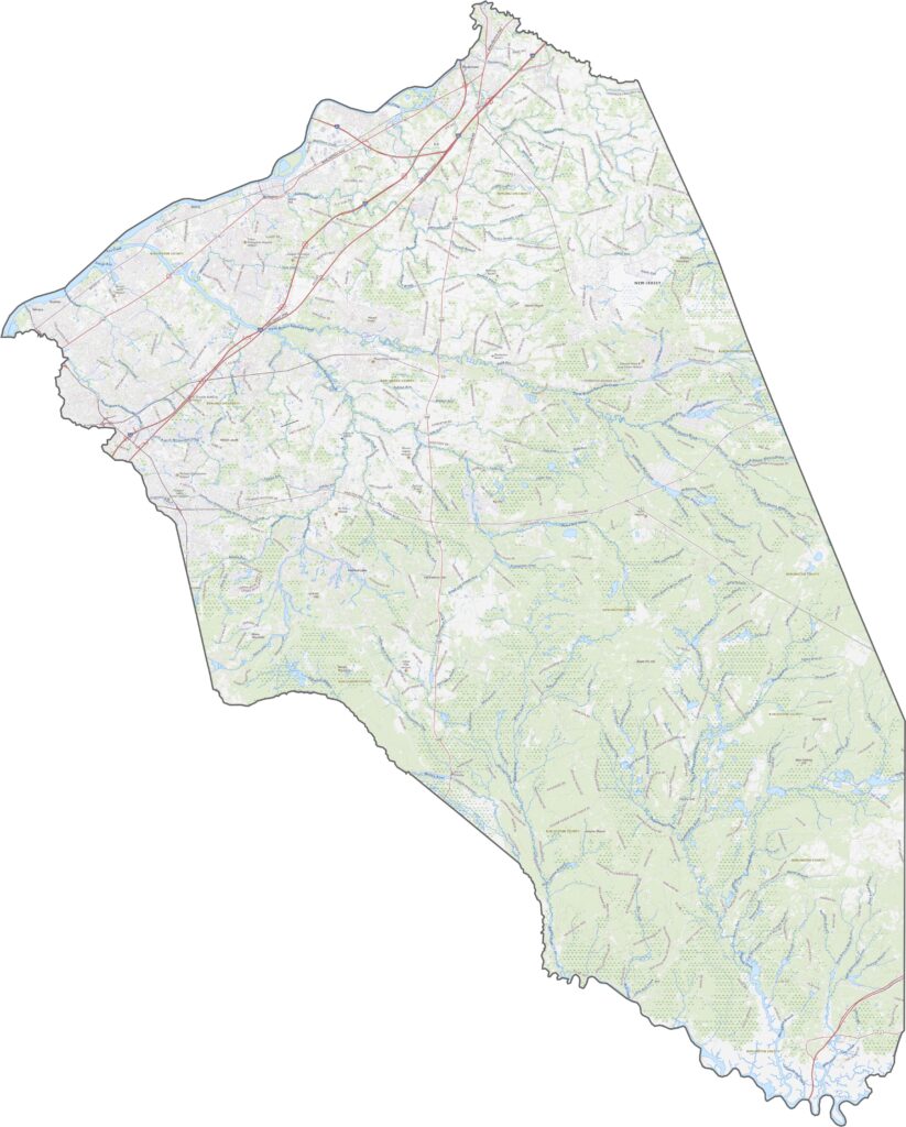
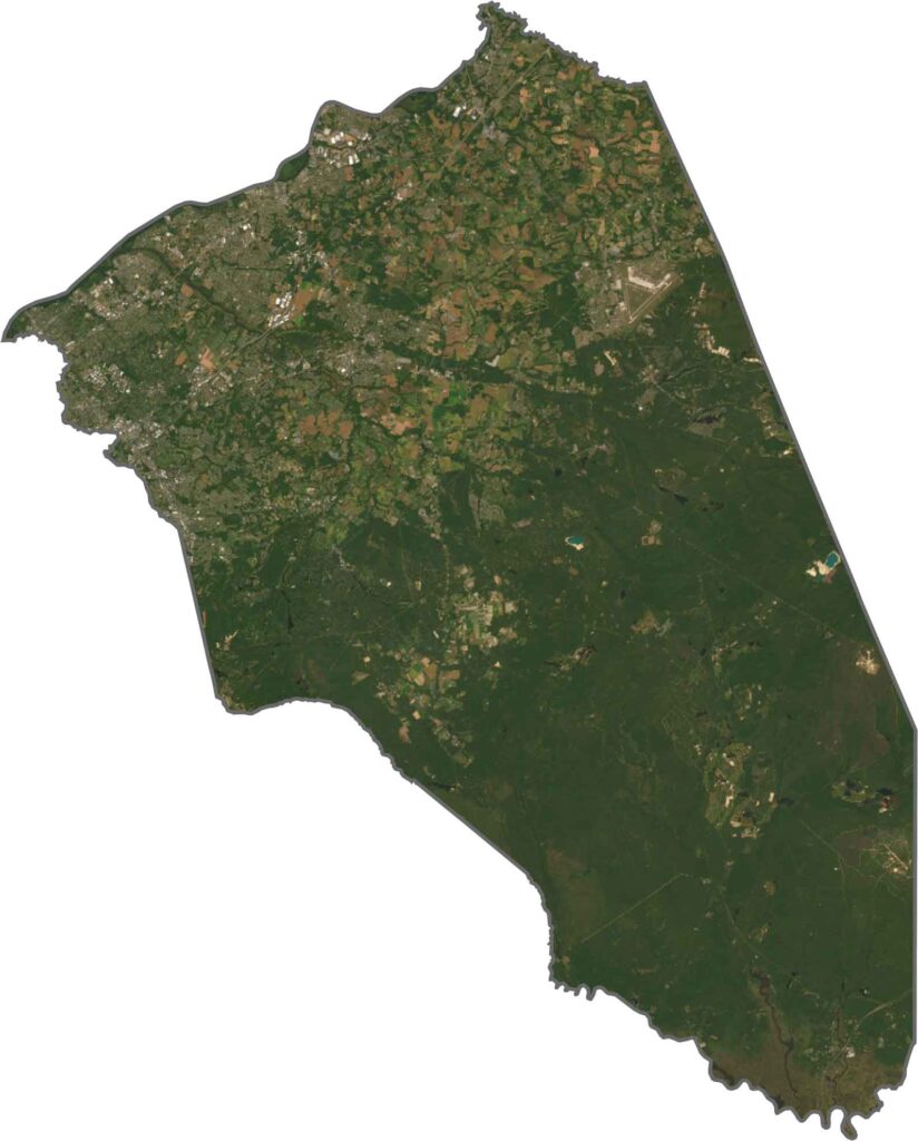
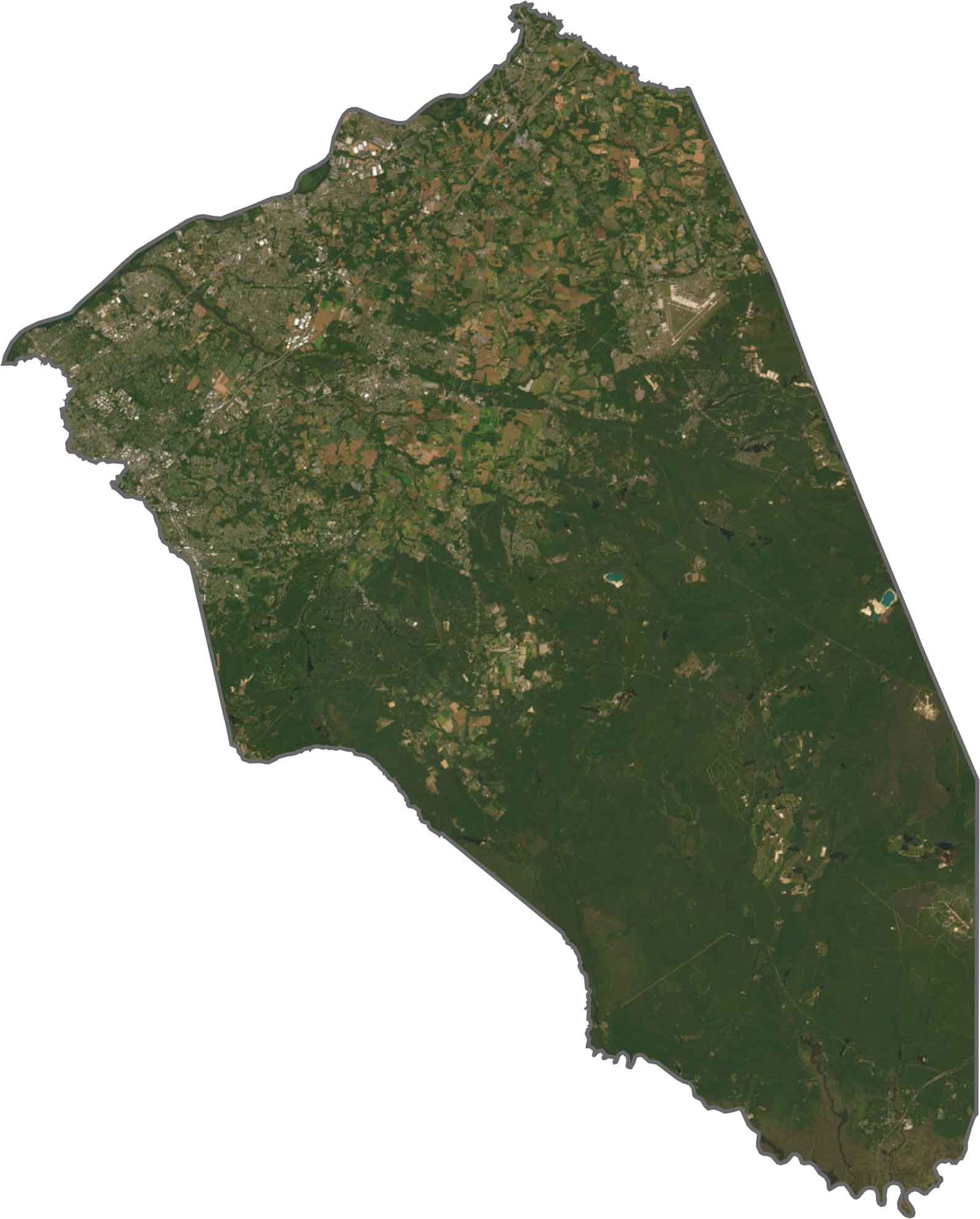
From above, Burlington County is a mix of green and tan. The western side features more suburbs and farmland, while the eastern part is dominated by forests. There are some clearings, but the Pine Barrens stretch across much of the area. The contrast between the northwest and southeast is easy to see.
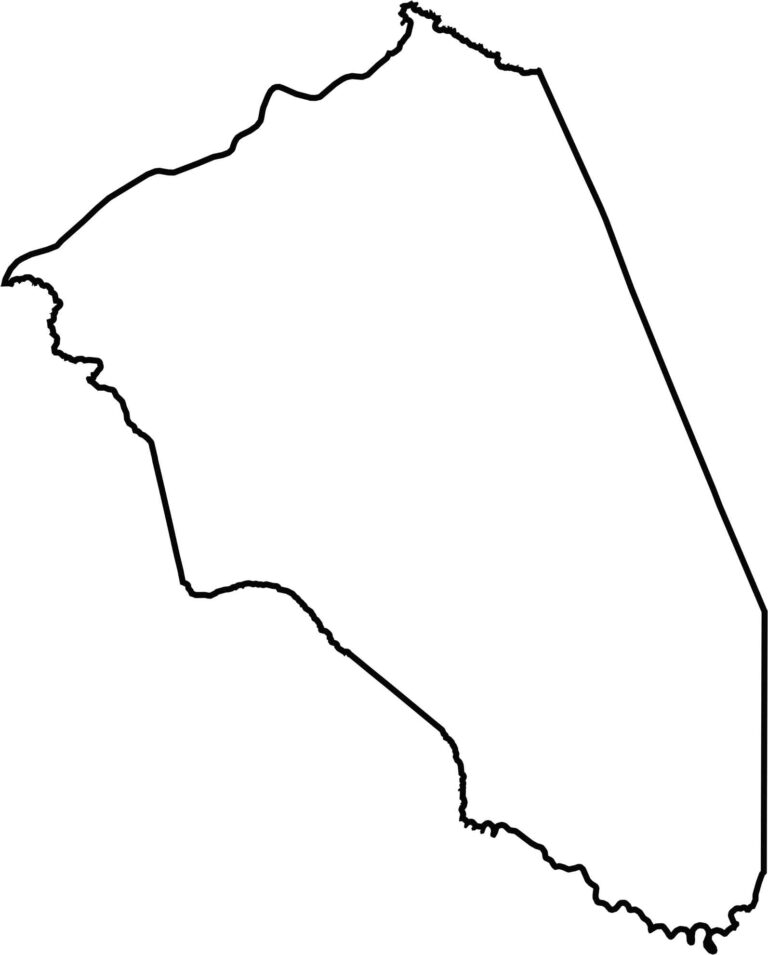
Burlington County is one of the largest counties in New Jersey, stretching from the Delaware River to the pine forests. The Delaware River forms the western border, placing Pennsylvania just across the water. The rest of the outline is irregular, especially around the forested areas.







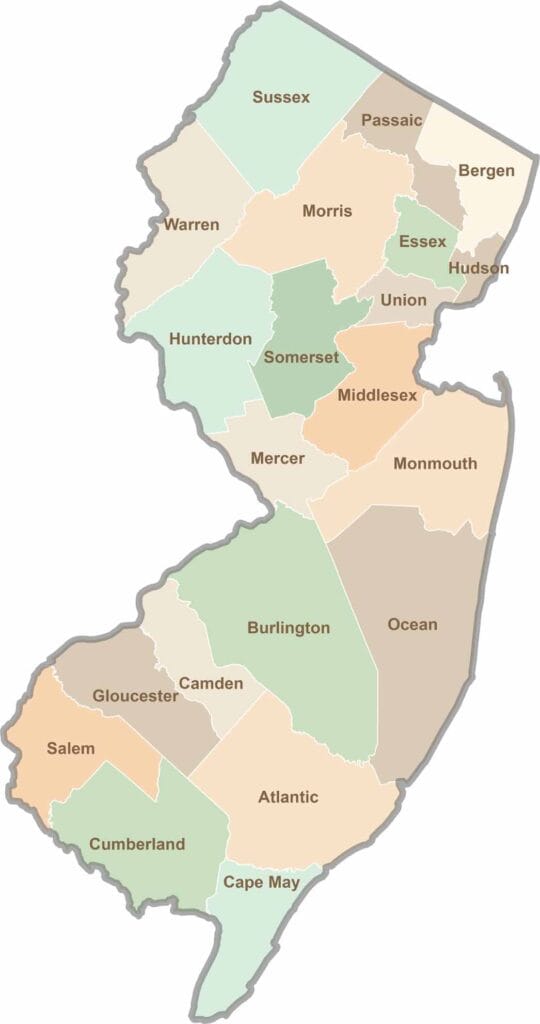
New Jersey packs a lot into its 21 counties, from beach towns and Pine Barrens forests to rolling farmland. Trace colonial history in Hunterdon County or stroll the boardwalk in Ocean County. There's far more here than meets the Turnpike.