
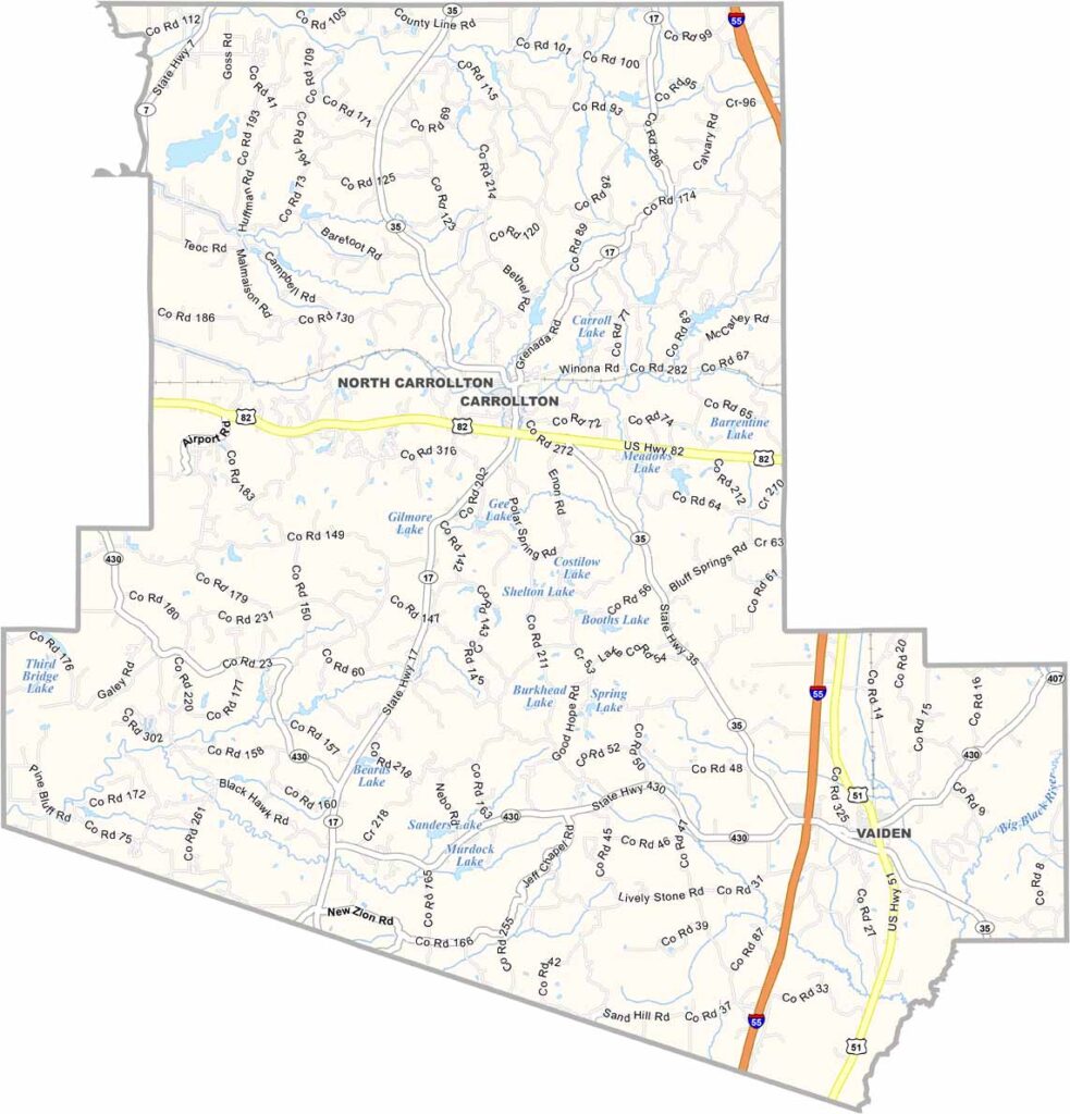
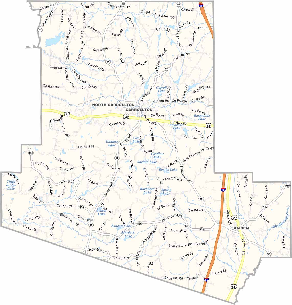
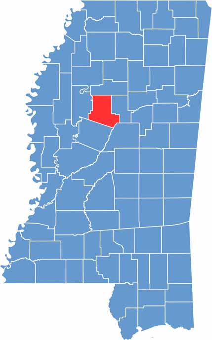
Carroll County sits right in the heart of the Magnolia State, a place where time seems to slow down a bit. Named after Charles Carroll, the last surviving signer of the Declaration of Independence, this county has some serious history.
Carrollton, the county seat, looks like it was lifted straight out of a Southern novel. The courthouse square is the kind of spot where folks gather to catch up on local gossip.
The locals know how to have a good time, especially during the annual Pioneer Day festival. For the outdoors, be sure to check out the trails at Malmaison Wildlife Management Area.

Mississippi Counties
Rankin County Map Download Mississippi – Outline Map and Blank Map

Mississippi Counties
Madison County Map Download Mississippi – Outline Map and Blank Map

Mississippi Counties
Jackson County Map Download Mississippi – Outline Map and Blank Map

Mississippi Counties
Hinds County Map Download Mississippi – Outline Map and Blank Map

Mississippi Counties
Harrison County Map Download Mississippi – Outline Map and Blank Map

Mississippi Counties