
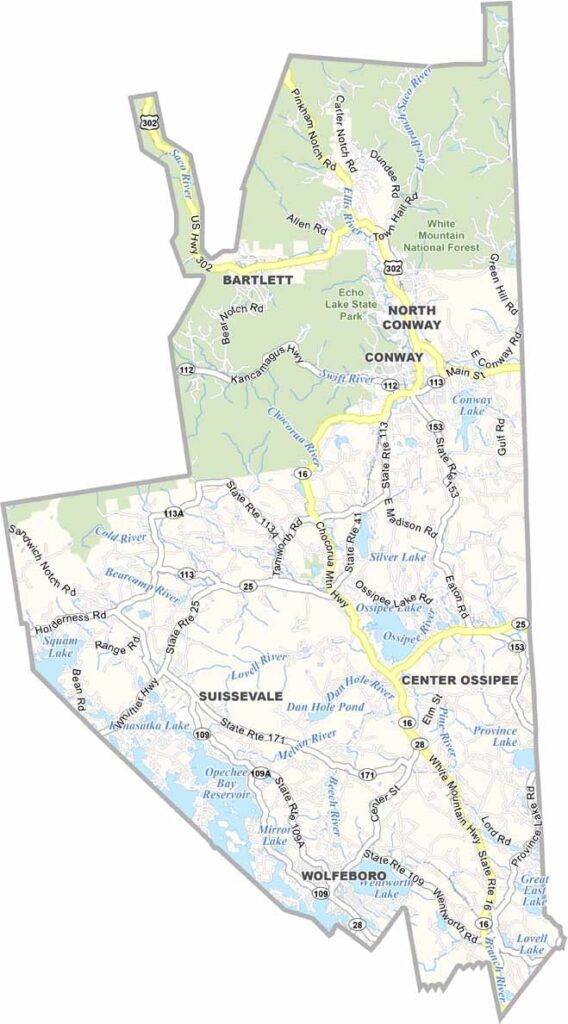
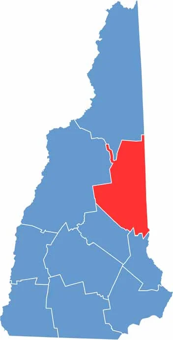
Carroll County is located in eastern New Hampshire and borders Maine. It’s where the White Mountains meet pristine lakes, with Conway serving as the commercial hub. Don’t let that fool you, though—most of the county remains rural and wild.
Tourists come for the scenery, with Mount Washington, the highest peak in the Northeast, standing prominently on the horizon. Skiing is a major attraction in winter, while summer brings hikers, campers, and people looking to cool off in Lake Winnipesaukee.
The Kancamagus Highway runs through the county and offers some of the best fall foliage views you’ll ever see. Carroll County has a little bit of everything, from quaint villages and covered bridges to, yes, even a few moose.
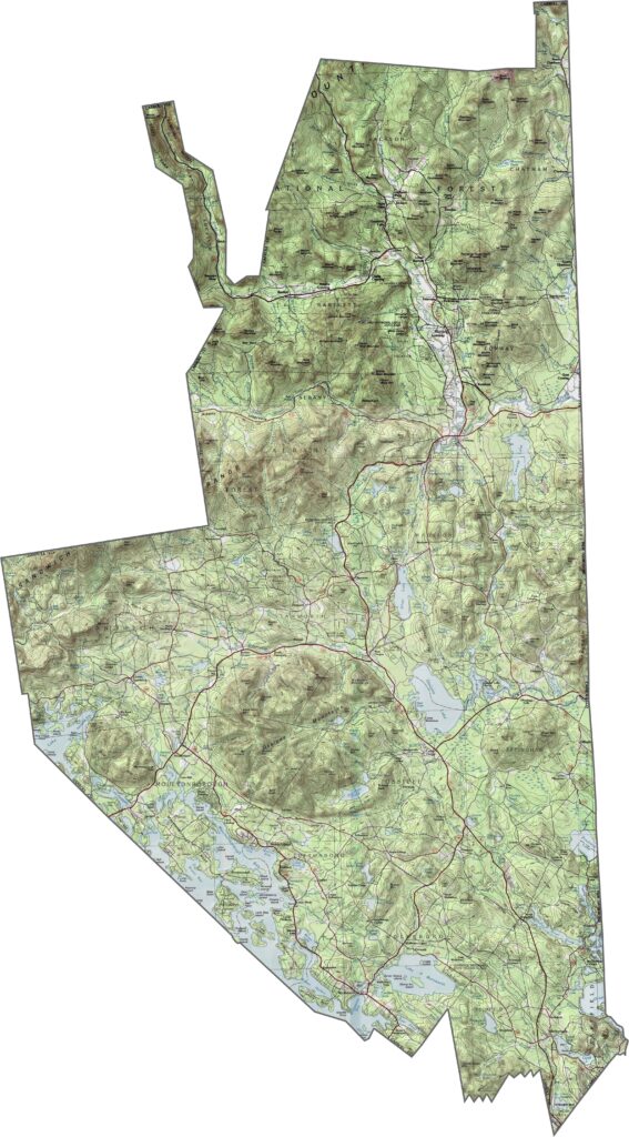
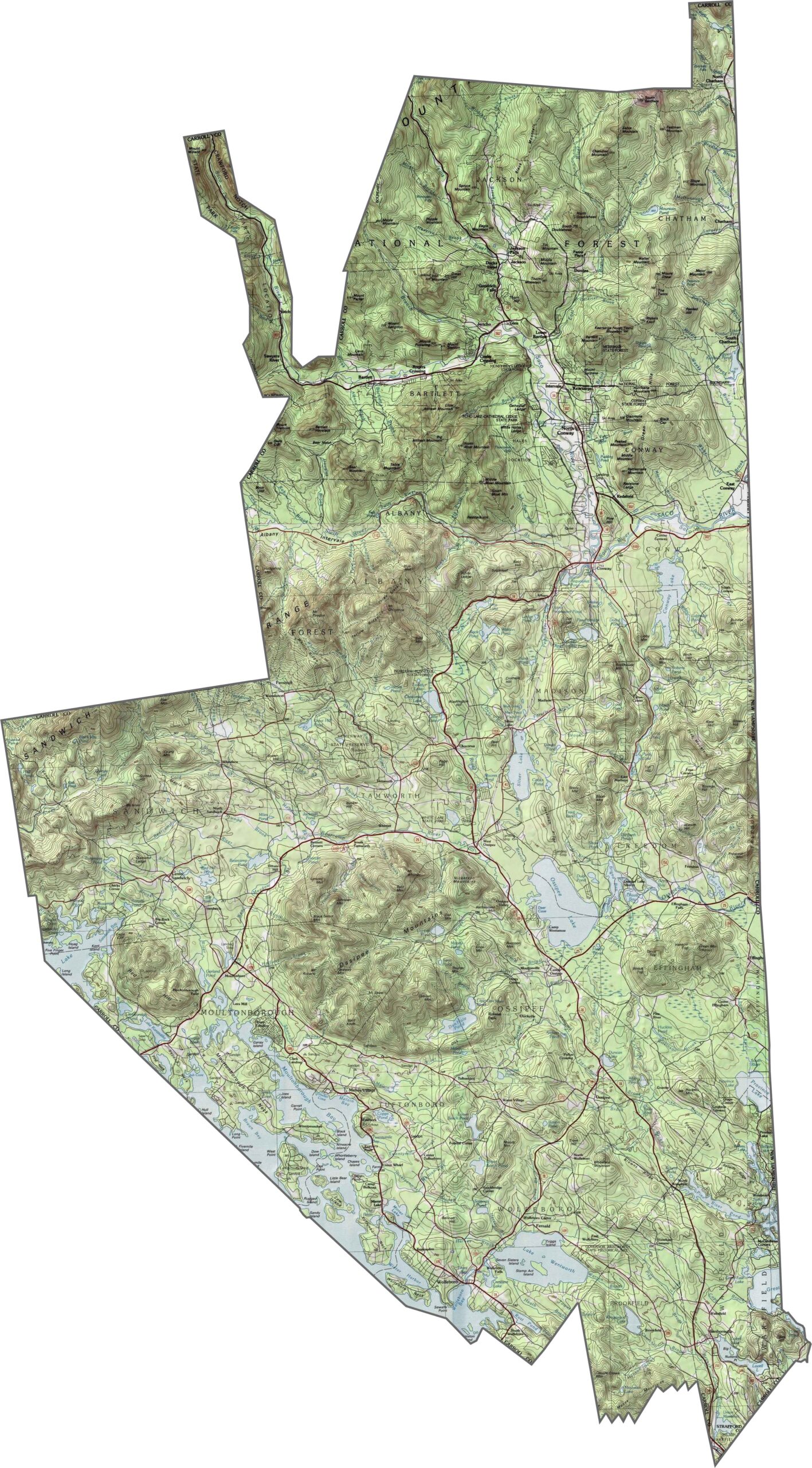
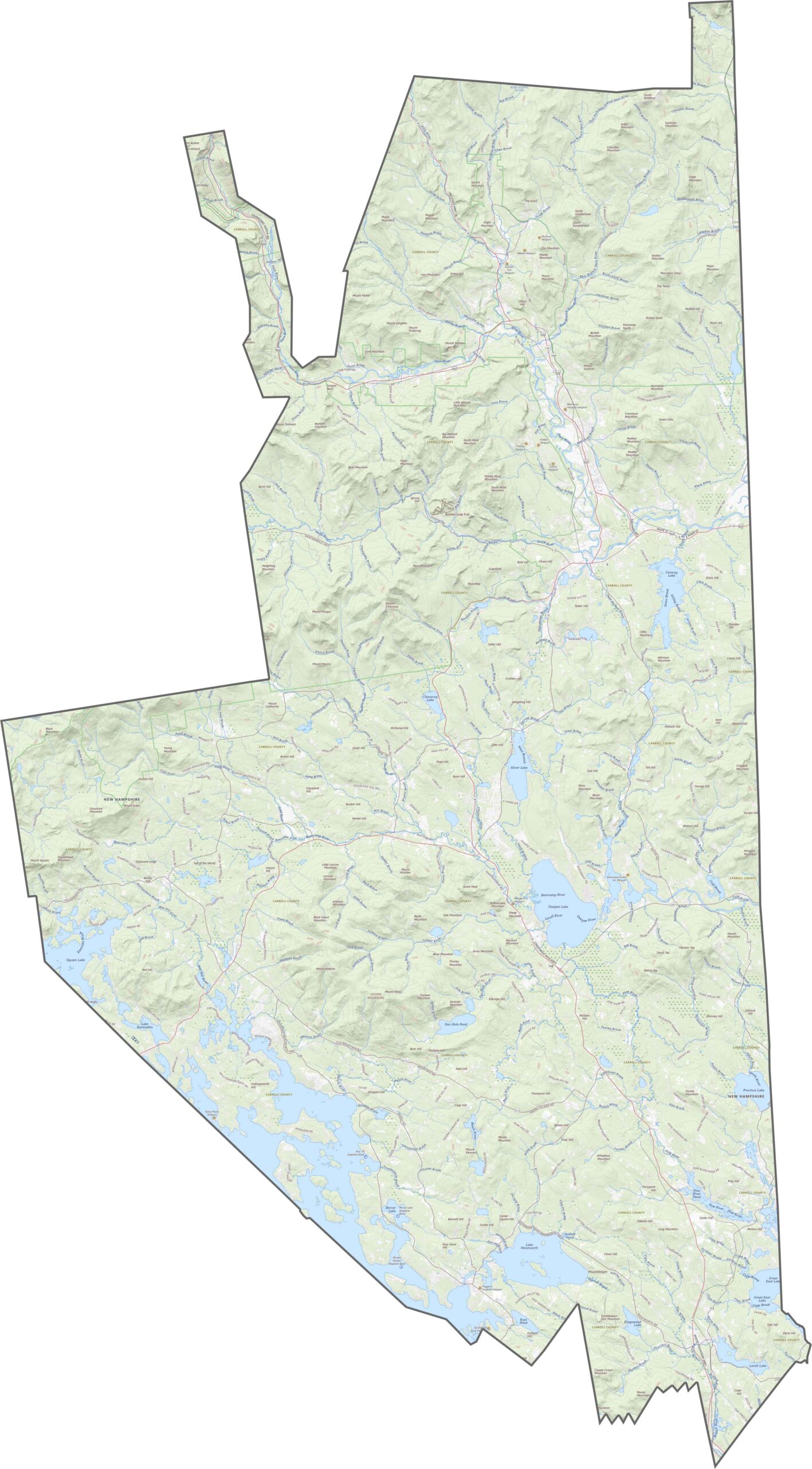
Mountains dominate Carroll County, with the eastern edge of the White Mountains covering much of the area. Peaks rise quickly, especially in the north, while flat land is hard to find. Valleys help break up the terrain, with Conway situated in one of them. Use our zoom tool in the topographic map below to explore Carroll County in greater detail.
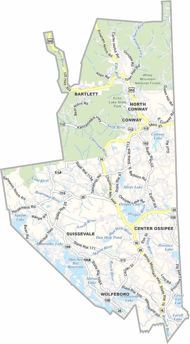
Carroll County doesn’t have any interstates, but several major routes still run through the area. NH Route 16 serves as the main north-south highway. Traffic is generally light, except around the resort towns. Despite the limited routes, getting around the county is fairly easy. Use our zoom tool below to follow the major routes.
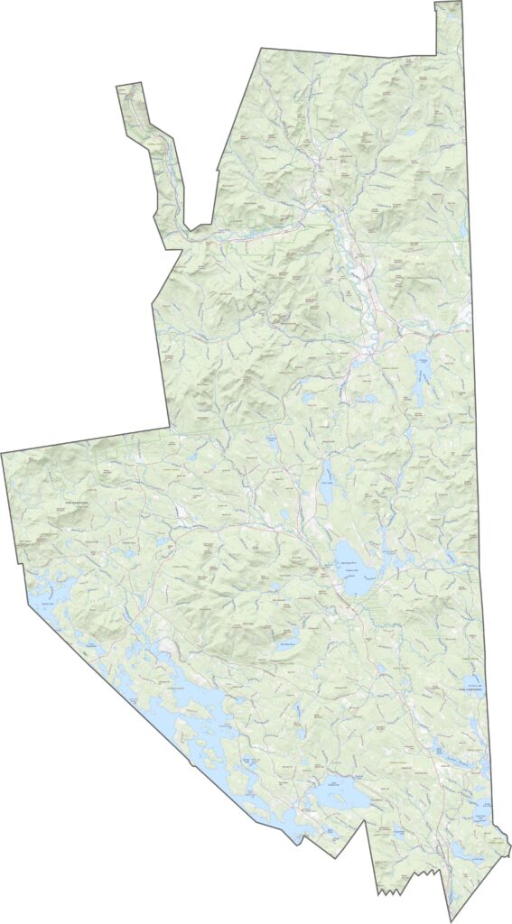
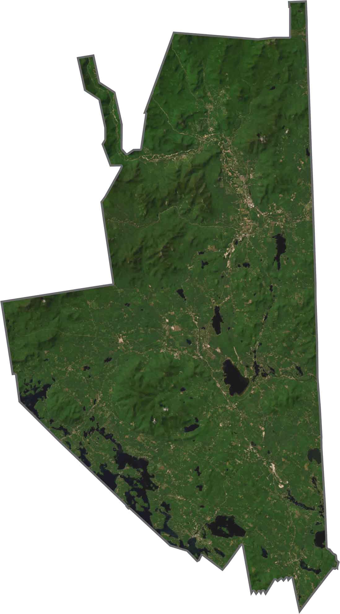
Forests cover most of Carroll County, while the mountains stand out clearly from above. Towns are scattered throughout the landscape rather than concentrated in one area. The Saco River winds through the eastern part of the county, while lakes such as Ossipee and Squam are also easy to spot.
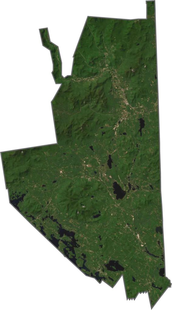
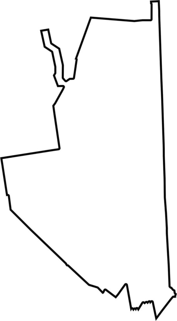
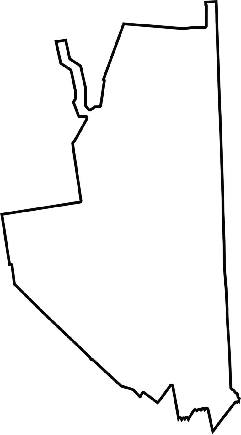
Carroll County has an unusual shape, with a narrow northern section that widens toward the south. Its eastern edge forms part of the border with Maine, while much of the county boundary has a jagged appearance. Other than the eastern border, the lines don’t follow a particularly uniform pattern.
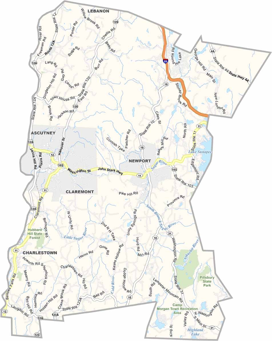
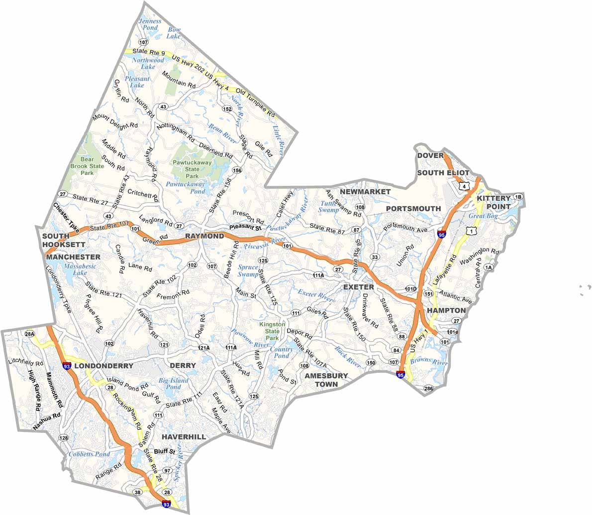
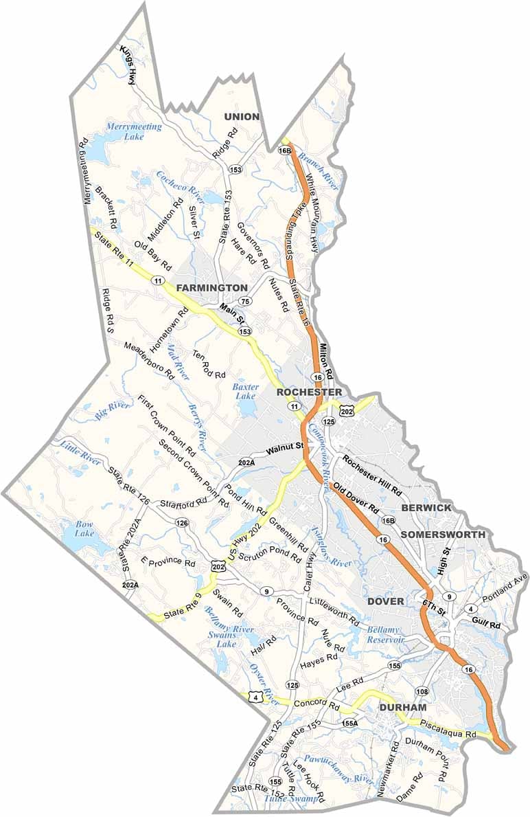
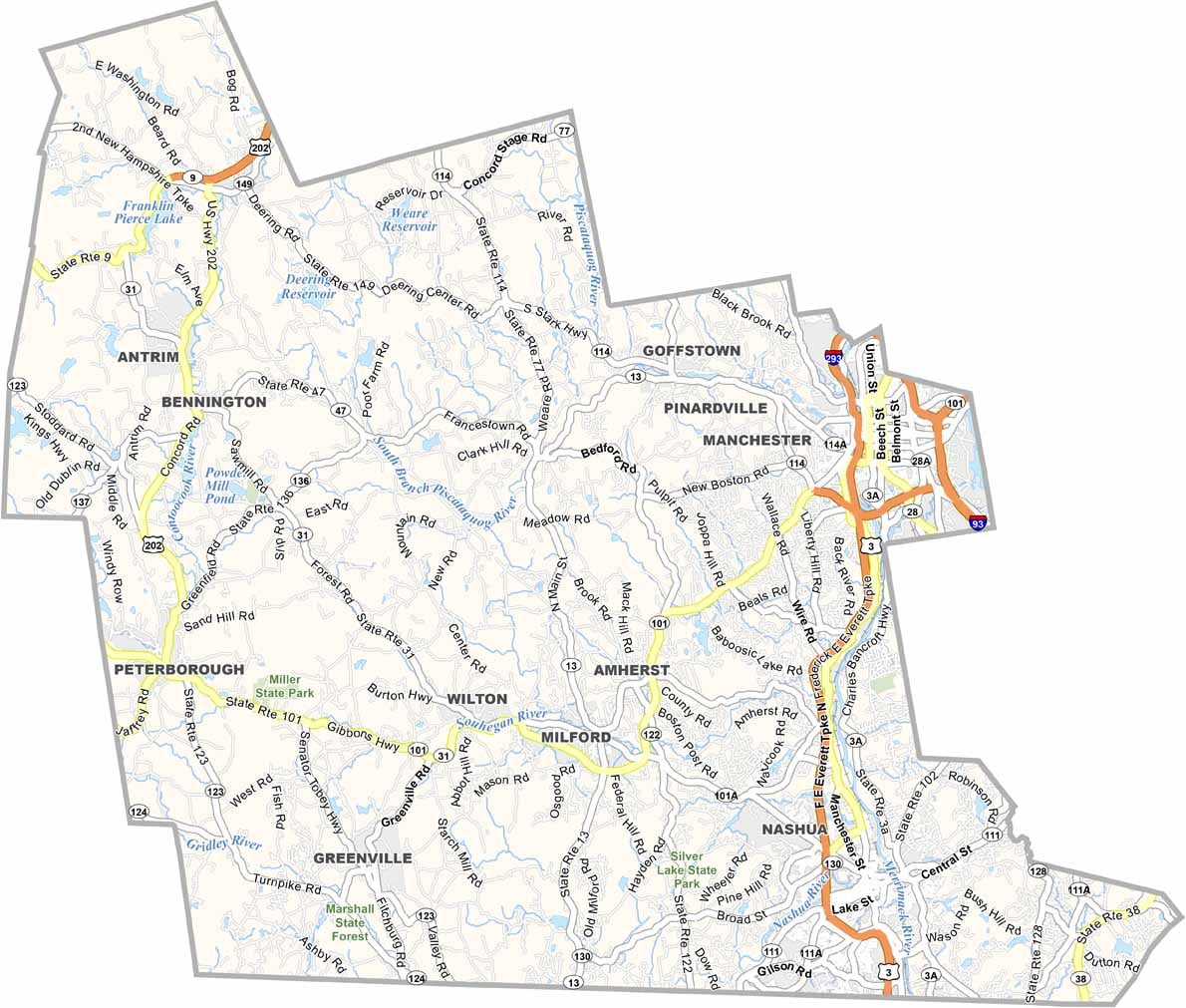
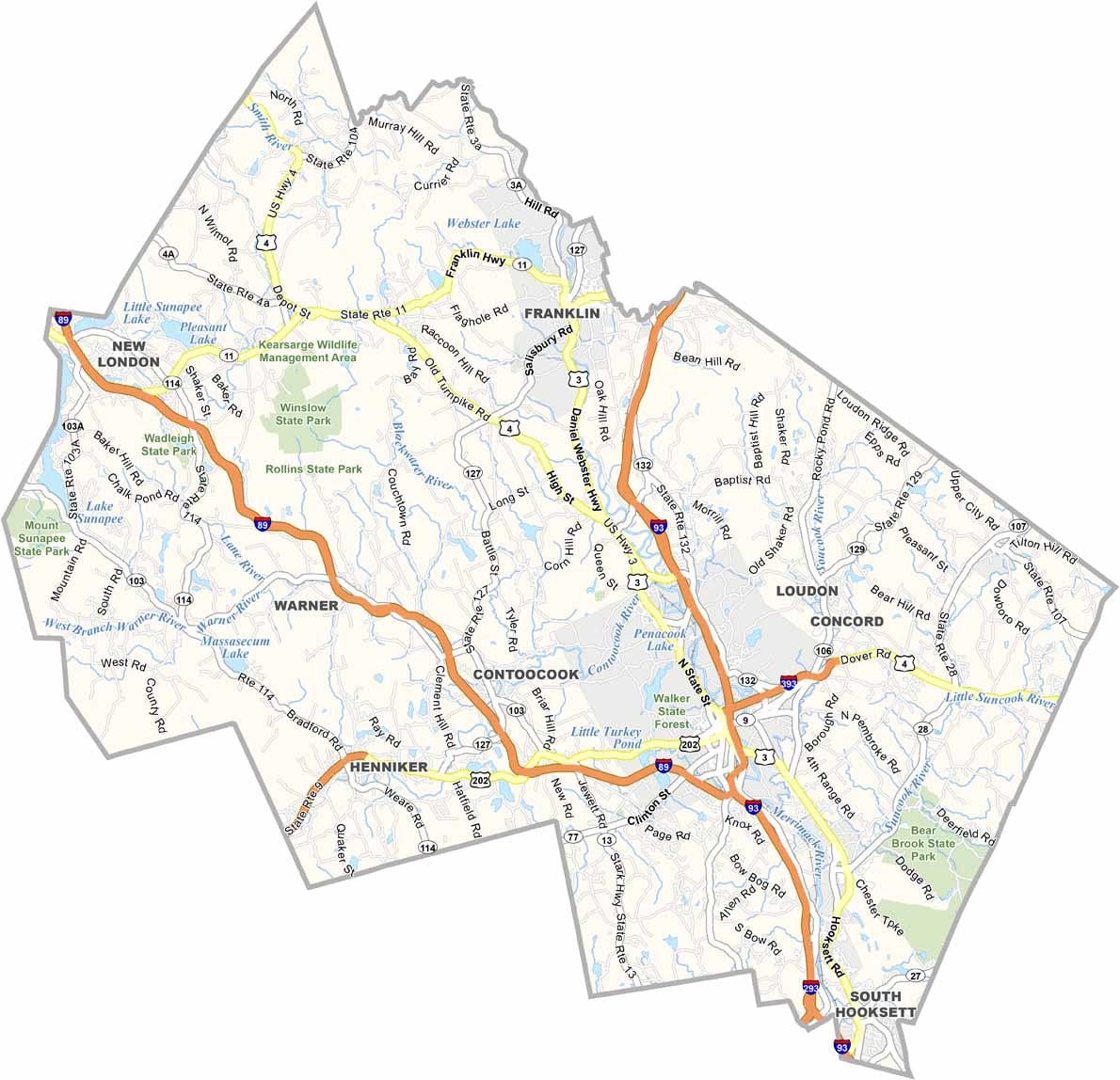
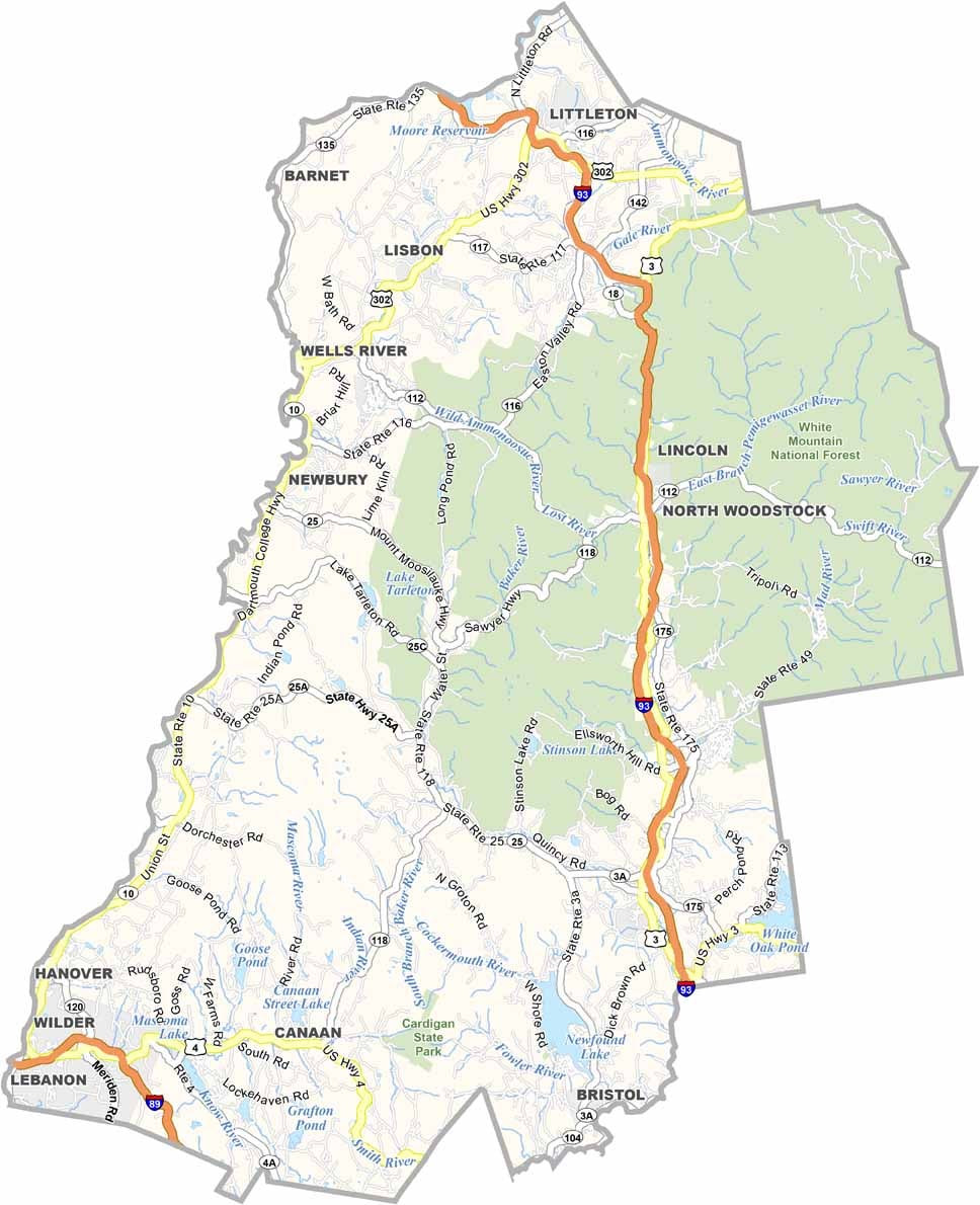
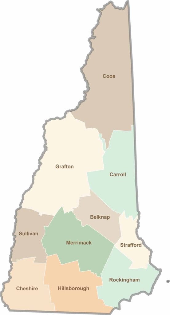
Discover the Granite State, home to 10 counties packed with mountain switchbacks, colonial villages, and Atlantic winds. Enjoy maple syrup mornings, moose crossings, and so much more.