
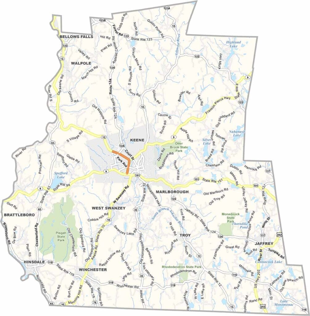
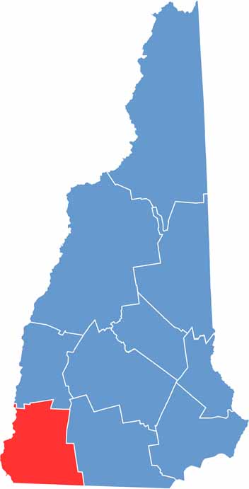
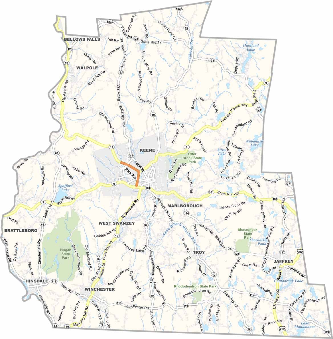
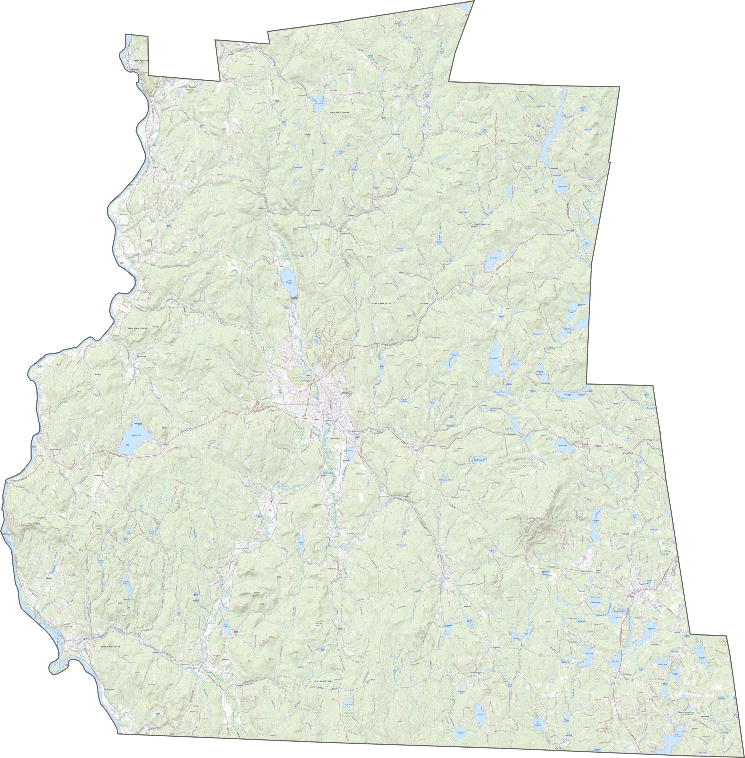
Cheshire County is located in the southwestern corner of New Hampshire, bordering Vermont and Massachusetts. Keene serves as the county seat and is a lively college town known for its huge pumpkin festival each fall. The county offers a mix of rural charm and small-city amenities.
The Ashuelot River winds through the area, providing great opportunities for kayaking and fishing. Farms are scattered throughout the landscape, with many selling fresh produce at roadside stands. Oh yeah, it’s definitely quiet out here.
Mount Monadnock dominates the skyline in the southeastern part of the county and is considered one of the most climbed mountains in the world. The area also has a strong sense of history, with colonial-era buildings and covered bridges scattered throughout the county.
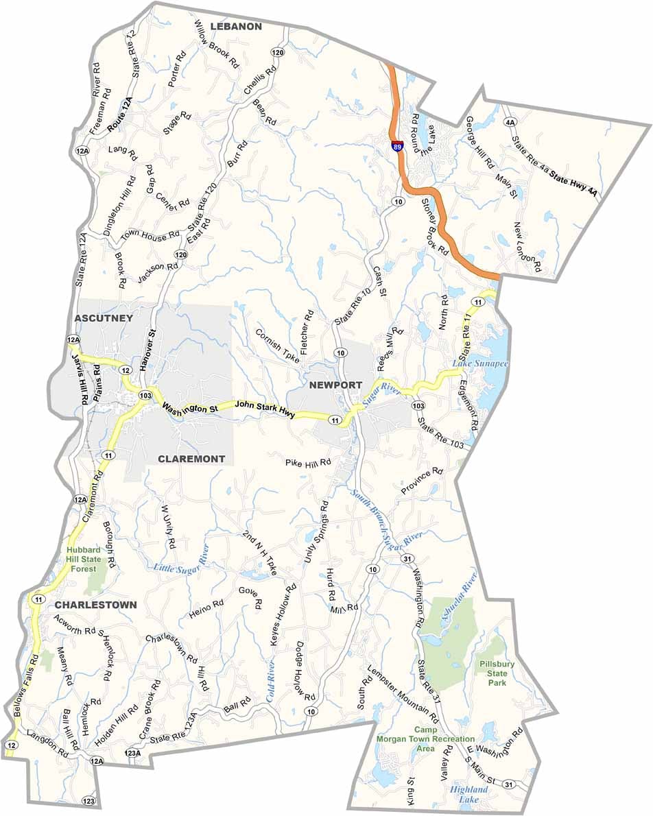
Some of the major highways in Cheshire County include U.S. Route 202 and New Hampshire Routes 9 and 10. The road network makes it feel like you’re never too far from a town. Use our zoom tool below to take a closer look at each road.
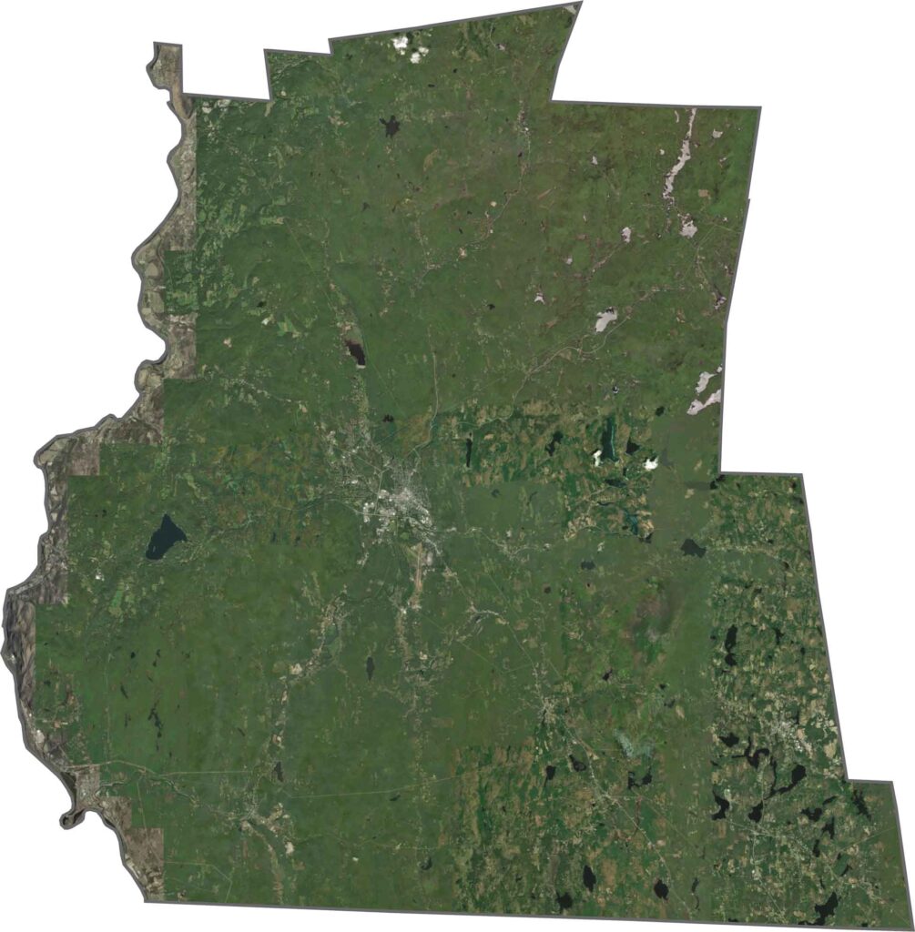
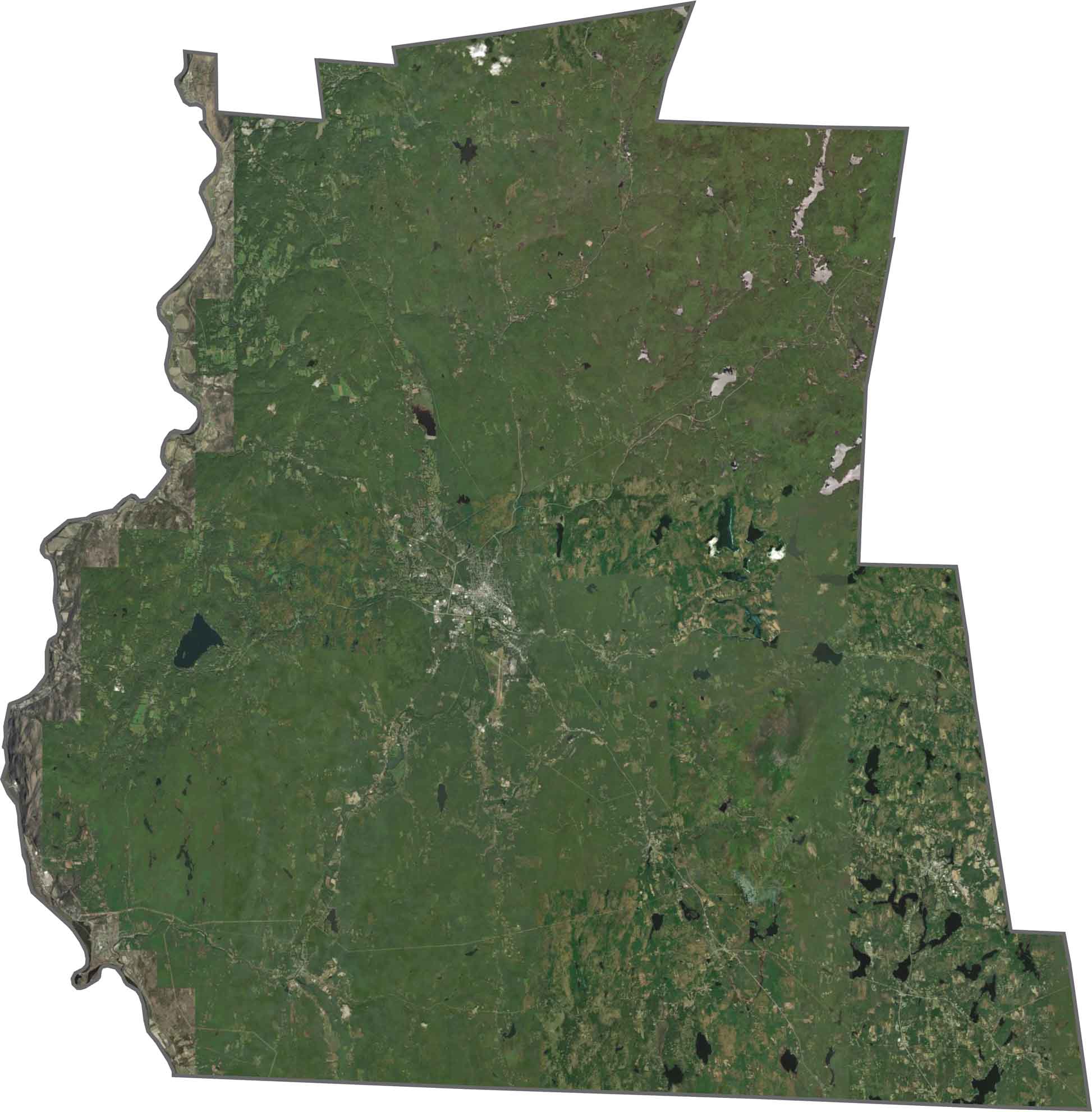
Forests cover much of the Cheshire County satellite map, creating a sea of green across the area. Keene stands out as a more developed hub near the center, while development is otherwise fairly limited. Farmland appears here and there, breaking up the wooded landscape.
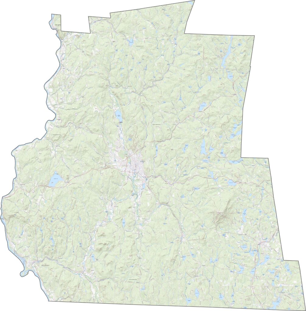
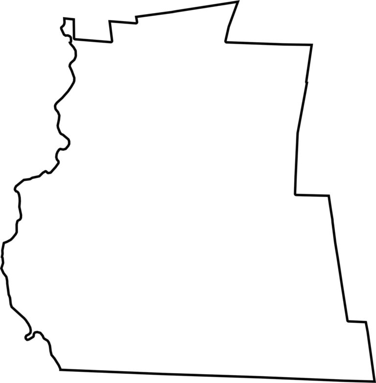
Cheshire County has a wide, somewhat lopsided shape. Massachusetts borders the county to the south, while the Connecticut River runs along its western edge, separating it from Vermont.

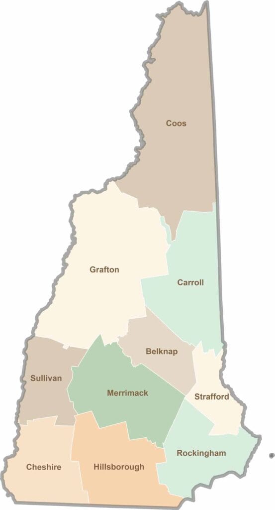
Discover the Granite State, home to 10 counties packed with mountain switchbacks, colonial villages, and Atlantic winds. Enjoy maple syrup mornings, moose crossings, and so much more.