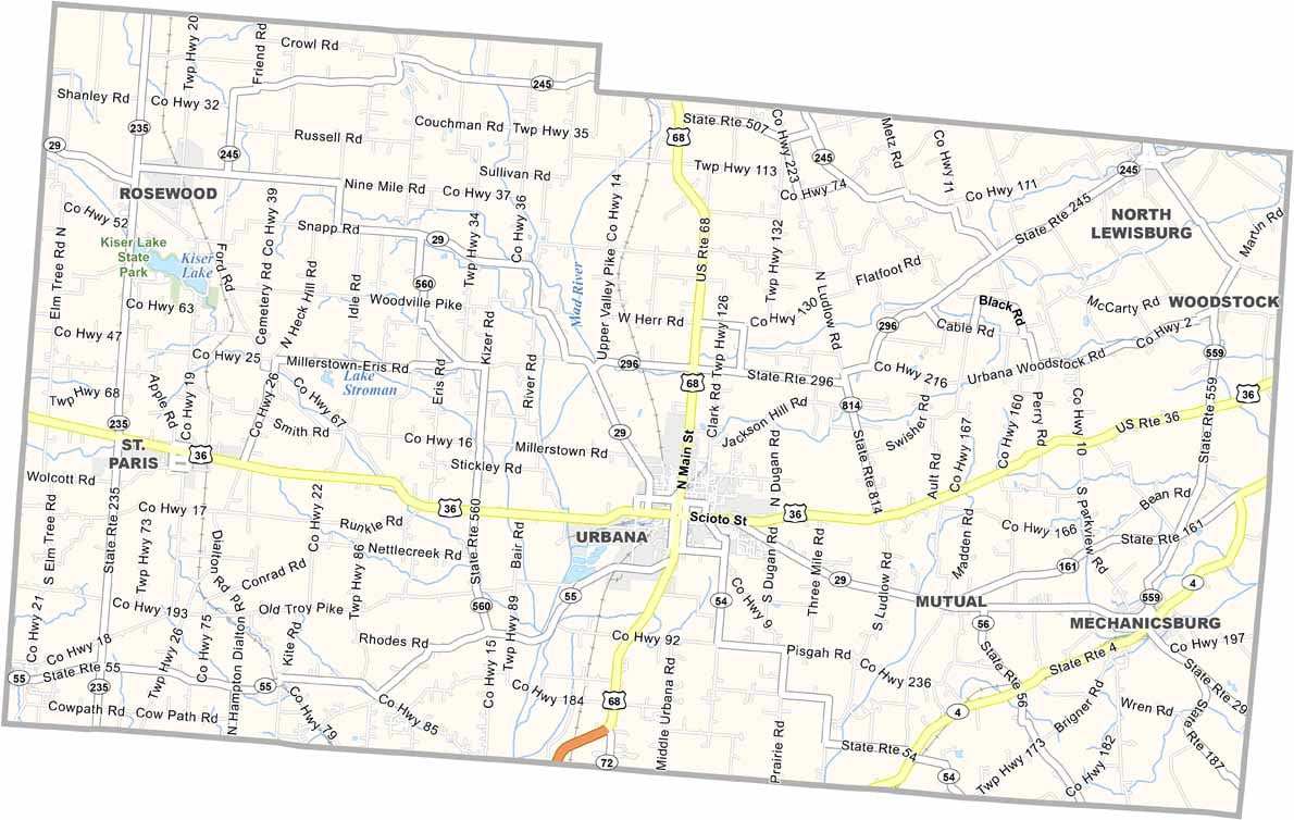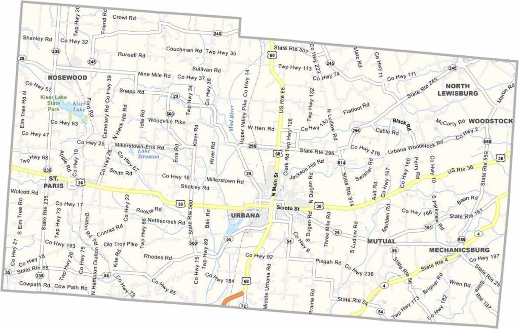
Champaign County Map, Ohio

Champaign County, Ohio

Champaign County sits in west-central Ohio, a place where history and modern life blend. Urbana, the county seat, is home to an attractive downtown.

Agriculture plays a big role here, with rolling fields of corn and soybeans covering the region. But there’s more to the county than farming. Kiser Lake State Park offers great spots for hiking and fishing.

The county also has a rich aviation heritage. Grimes Field airport hosts an annual fly-in that draws pilots from all over. It’s the kind of place where you can still find homemade pie at the county fair.
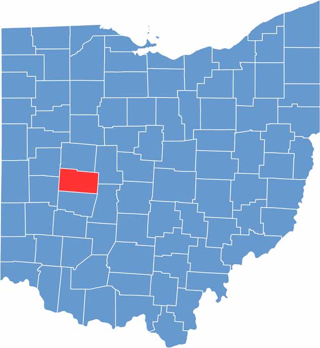

Champaign County location map of Ohio
CategoryDetails
County NameChampaign County
County SeatUrbana
EtymologyNamed after the French word for “a plain”, describing the land in the area
Cities, Towns, and CommunitiesUrbana, St. Paris, Mechanicsburg, North Lewisburg
Interstates and HighwaysU.S. Highway 36, State Route 29, State Route 68
FIPS Code39-021
Total Area424 square miles (land and water)
Adjacent CountiesLogan County (North), Union County (Northeast), Madison County (Southeast), Clark County (South), Miami County (Southwest), Shelby County (Northwest)
Time ZoneEastern Time Zone
StateOhio
Coordinates40.1060° N, 83.7507° W
Major LandmarksUrbana University, Melvin Miller Park
PopulationApproximately 40,000
Scroll to Top