Clay County Map Download Alabama – Outline Map and Blank Map

Clay County Map Download Alabama – Outline Map and Blank Map

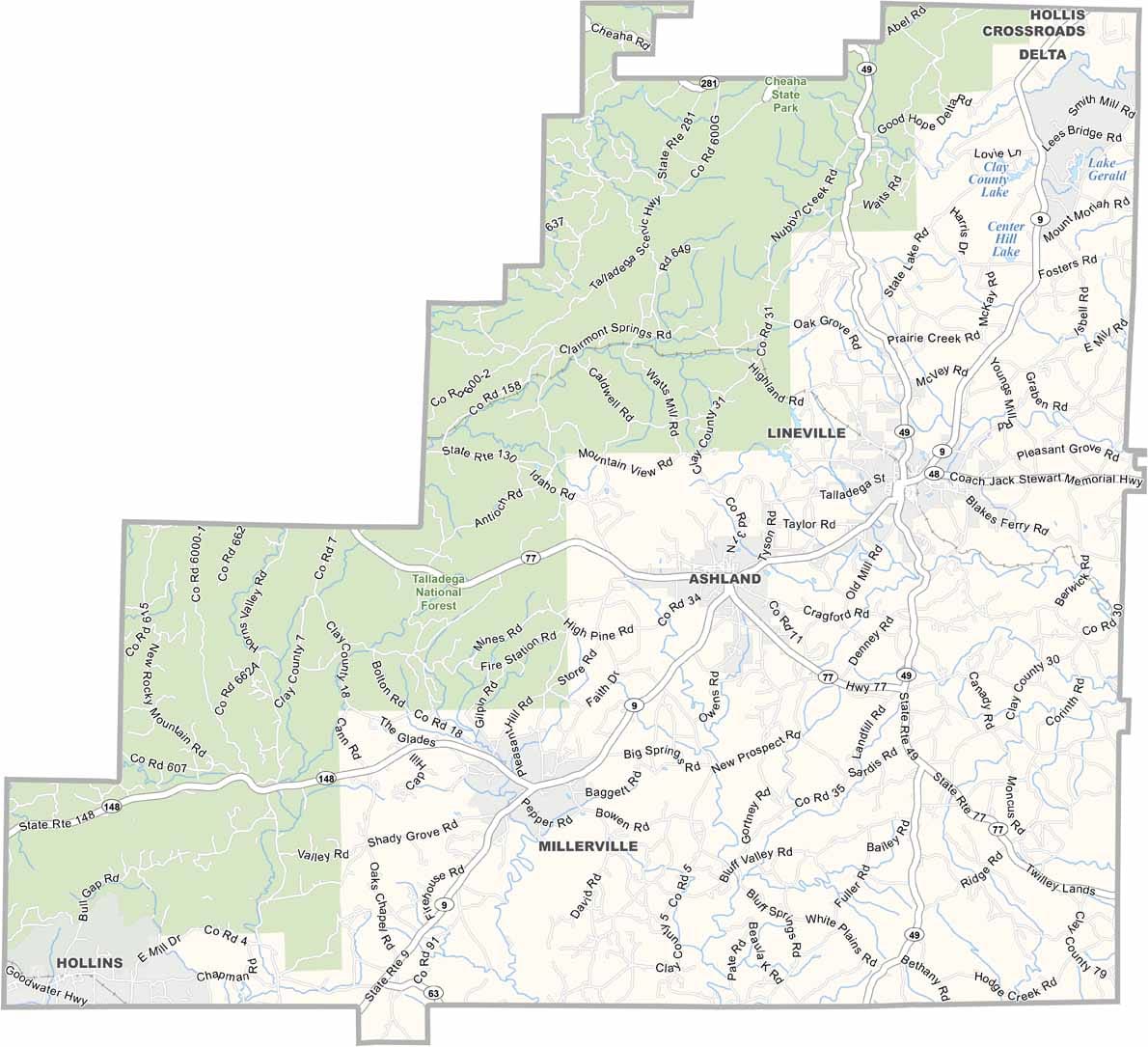
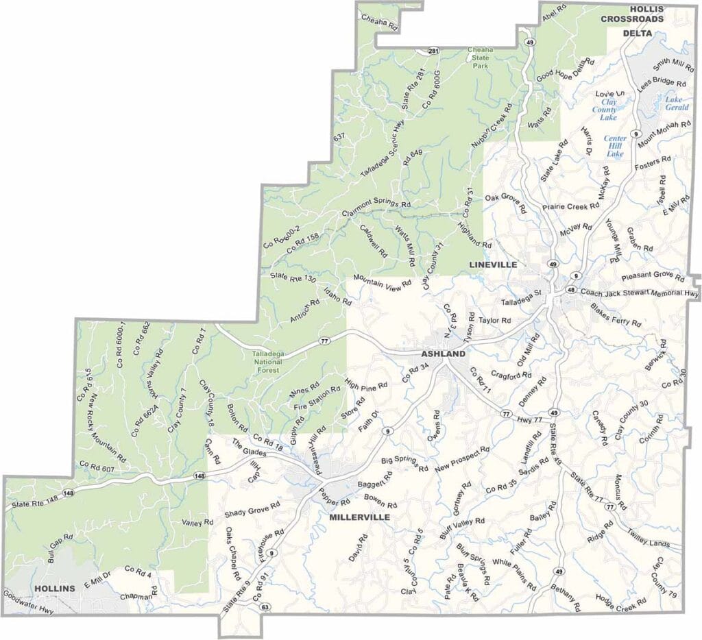
Clay County maps showing boundaries and locations in Alabama.

Clay County, Alabama

Clay County is located in east-central Alabama, with Ashland serving as the county seat. It’s a small, quiet county with a population of around 13,000, proving that smaller places often have their own unique charm.

A large portion of the western area is covered by the Talladega National Forest, offering plenty of opportunities for hiking, camping, and enjoying the outdoors. While there are no major interstates running through the county, Alabama Highway 9 provides access to the region.

Named after American statesman Henry Clay, the county maintains a peaceful, rural character. With no interstate highways, life here moves at a slower pace. Farming and timber remain the backbone of the local economy.
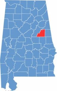

Clay County location map showing its position in Alabama.
Category Details
County Name Clay County
County Seat Ashland
Cities, Towns, and Communities Ashland, Lineville, Millerville, Barfield, Delta, Cragford, Pyriton, Hollins
Interstates and Highways U.S. Highway 231, State Route 9, State Route 49, State Route 77
Etymology Named after Henry Clay, an American lawyer and statesman
FIPS Code 01-027
Total Area (Land and Water) 606 square miles (Land: 604 sq mi, Water: 2 sq mi)
Time Zone Central Time Zone (CT)
State Alabama
Coordinates 33.2682° N, 85.8588° W
Major Landmarks Cheaha State Park (partly in Clay County), Mount Cheaha (the highest point in Alabama), Clay County Courthouse, Ashland Theatre
Adjacent Counties (and Direction) Cleburne County (North), Randolph County (East), Tallapoosa County (South), Coosa County (Southwest), Talladega County (West)
Population Approximately 13,300
Scroll to Top