Covington County Map Download Alabama – Outline Map and Blank Map

Covington County Map Download Alabama – Outline Map and Blank Map

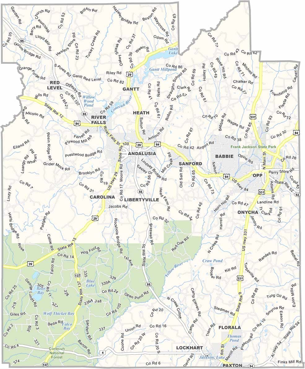
Covington County maps showing boundaries and locations in Alabama.

Covington County, Alabama

Covington County is located in southern Alabama, just north of the Florida border. It was named after Brigadier General Leonard Covington, a war hero, and the area also features several Civil War historical sites for those interested in history.

A portion of the Conecuh National Forest lies within the county, offering opportunities for camping, hiking, and outdoor recreation. Major routes such as U.S. Highways 84 and 331 run through the region, providing key connections across the county.

Andalusia serves as the county seat and is located near the center of the county. It is also known for hosting the World Championship Domino Tournament, a unique and popular local tradition.
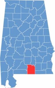

Covington County location map showing its position in Alabama.
Category Details
County Name Covington County
County Seat Andalusia
Cities, Towns, and Communities Andalusia, Opp, Florala, Red Level, River Falls, Babbie, Gantt, Heath, Horn Hill, Libertyville, Lockhart
Interstates and Highways U.S. Highway 29, U.S. Highway 84, U.S. Highway 331, State Route 55, State Route 189
Etymology Named after Brigadier General Leonard Covington, a hero of the War of 1812
FIPS Code 01-039
Total Area (Land and Water) 1,044 square miles (Land: 1,030 sq mi, Water: 14 sq mi)
Time Zone Central Time Zone (CT)
State Alabama
Coordinates 31.3058° N, 86.4735° W
Major Landmarks Table Rock Lake, Talking Rocks Cavern, Silver Dollar City, Shepherd of the Hills Fish Hatchery
Adjacent Counties (and Direction) Butler County (North), Crenshaw County (North), Coffee County (East), Geneva County (East), Walton County, Florida (Southeast), Okaloosa County, Florida (Southwest), Escambia County (West), Conecuh County (West)
Population Approximately 37,500
Scroll to Top