
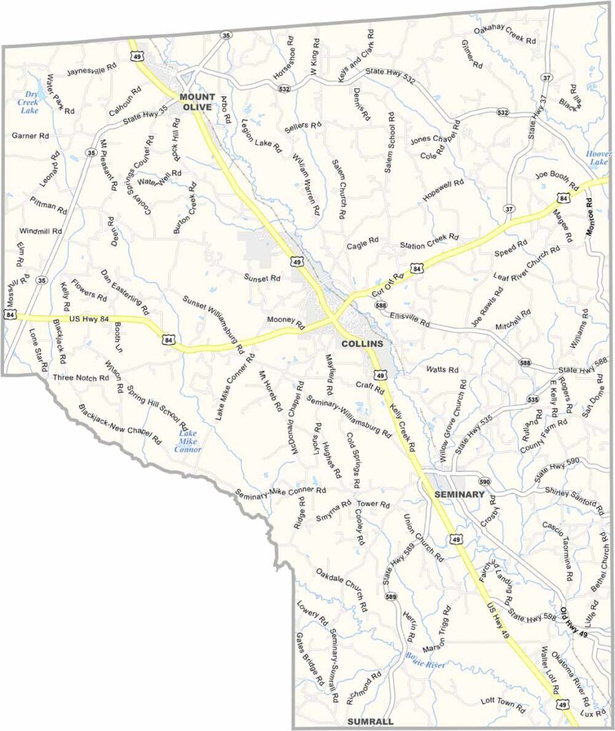
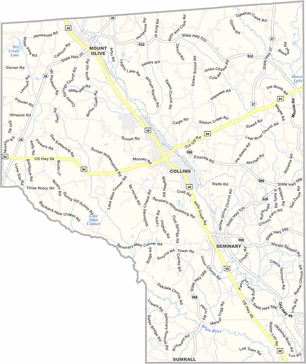
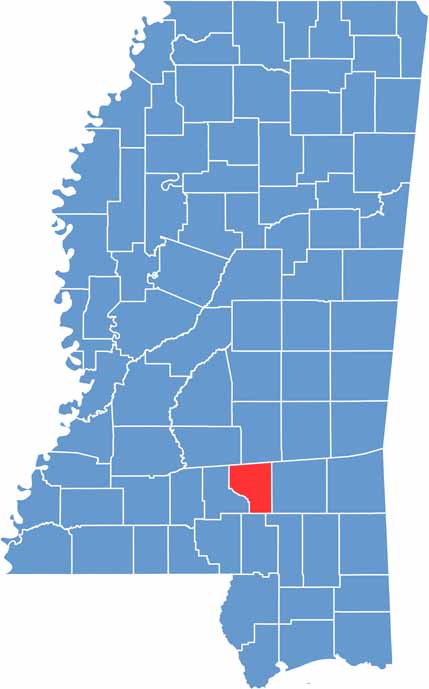
Deep in southern Mississippi, you’ll find Covington County. It sits between Jones County to the east and Jefferson Davis County to the west.
People here take pride in their roots. Agriculture remains an important part of the local economy, with poultry farms spread throughout the area. The slower pace of life is something newcomers quickly come to appreciate.
On Friday nights, high school football takes center stage. Collins serves as the county seat. Robertson Park also attracts visitors with its clear lake and hiking trails.

Mississippi Counties
Rankin County Map Download Mississippi – Outline Map and Blank Map

Mississippi Counties
Madison County Map Download Mississippi – Outline Map and Blank Map

Mississippi Counties
Jackson County Map Download Mississippi – Outline Map and Blank Map

Mississippi Counties
Hinds County Map Download Mississippi – Outline Map and Blank Map

Mississippi Counties
Harrison County Map Download Mississippi – Outline Map and Blank Map

Mississippi Counties