Cullman County Map Download Alabama – Outline Map and Blank Map

Cullman County Map Download Alabama – Outline Map and Blank Map

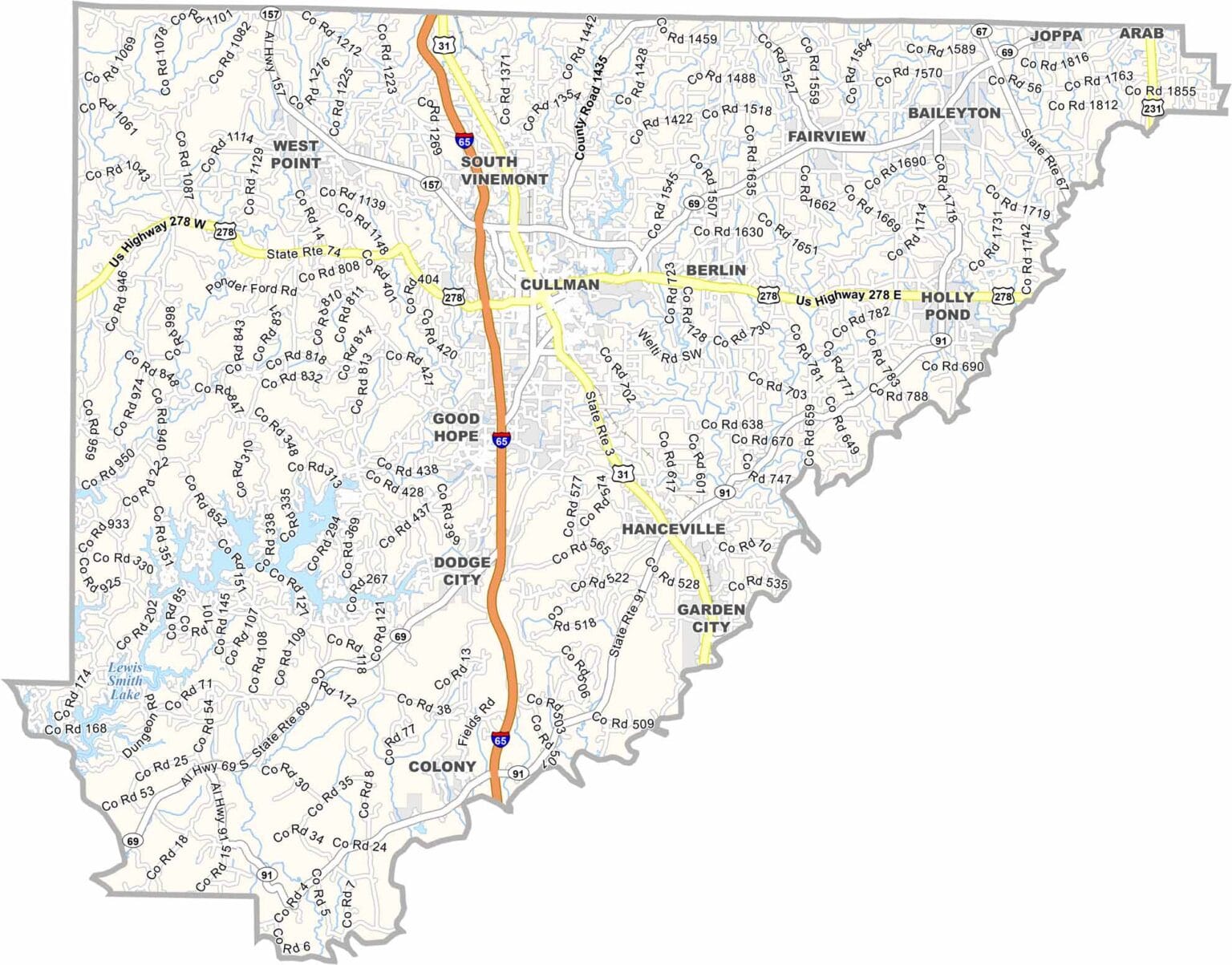
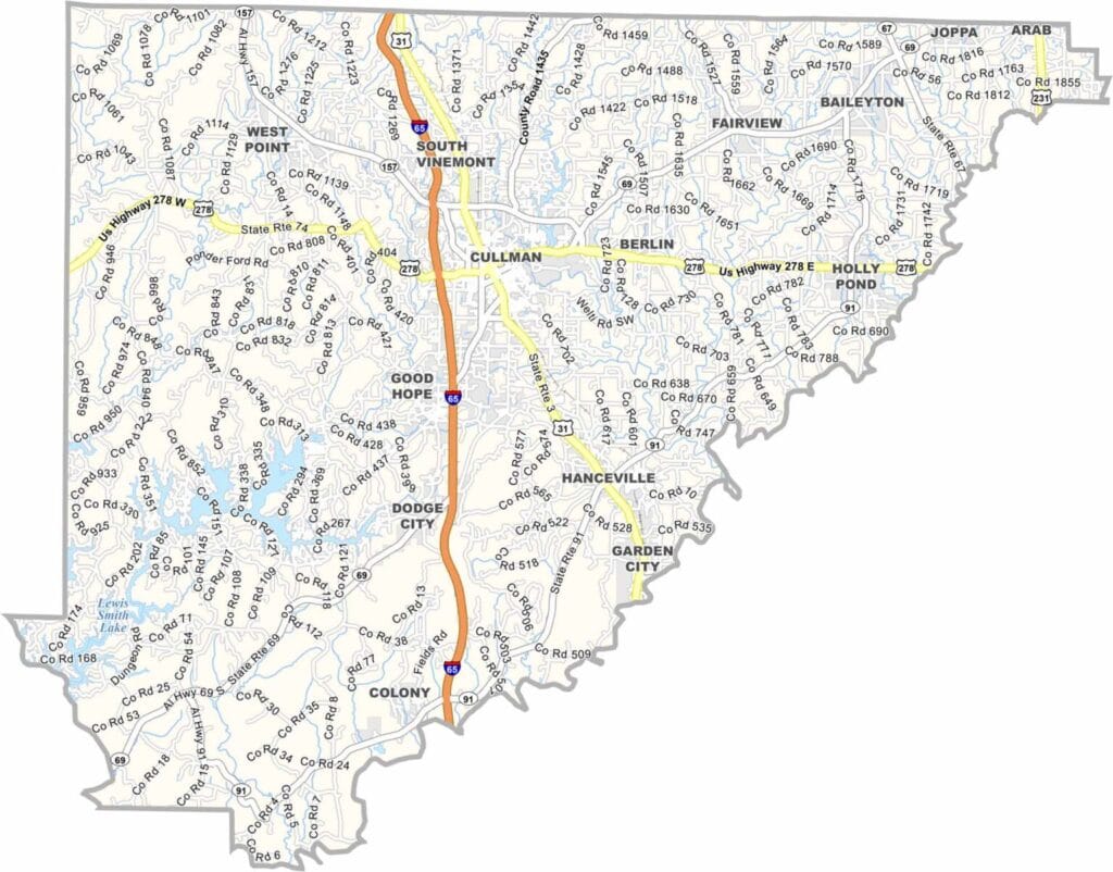
Cullman County maps showing boundaries and locations in Alabama.

Cullman County, Alabama

Cullman County is located in northern Alabama, with Cullman serving as the county seat. Founded by German immigrants, the area still reflects that heritage today, including an annual Oktoberfest celebration.

Lewis Smith Lake is one of the county’s major attractions, known for its clear waters and excellent fishing and boating opportunities. Another popular site is the Ave Maria Grotto, a park featuring detailed miniature replicas of famous buildings from around the world.

Interstate 65 runs through the county, providing convenient access to both Birmingham and Huntsville. The county is named after Colonel John G. Cullmann, a German immigrant and the founder of the city of Cullman.
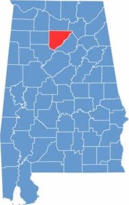

Cullman County location map showing its position in Alabama.
Category Details
County Name Cullman County
County Seat Cullman
Cities, Towns, and Communities Cullman, Hanceville, Good Hope, Garden City, Holly Pond, Vinemont, West Point, Fairview, Dodge City
Interstates and Highways Interstate 65, U.S. Highway 31, U.S. Highway 278, U.S. Highway 231, State Route 69, State Route 157
Etymology Named after Colonel John G. Cullmann, a German immigrant and founder of the city of Cullman
FIPS Code 01-043
Total Area (Land and Water) 755 square miles (Land: 735 sq mi, Water: 20 sq mi)
Time Zone Central Time Zone (CT)
State Alabama
Coordinates 34.1748° N, 86.8436° W
Major Landmarks Ave Maria Grotto, Smith Lake, Clarkson Covered Bridge, Cullman County Museum, St. Bernard Abbey
Adjacent Counties (and Direction) Morgan County (North), Marshall County (Northeast), Blount County (East), Walker County (Southwest), Winston County (West), Lawrence County (Northwest)
Population Approximately 89,000
Scroll to Top