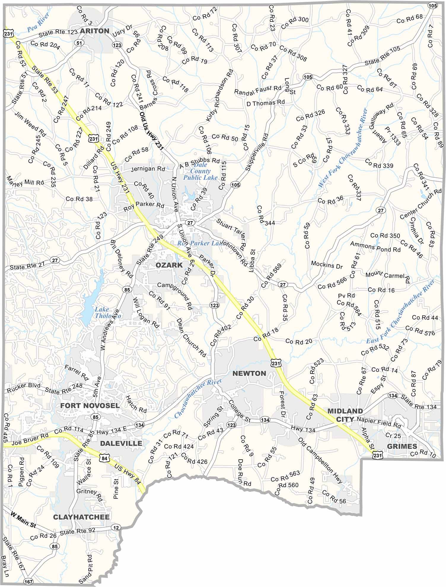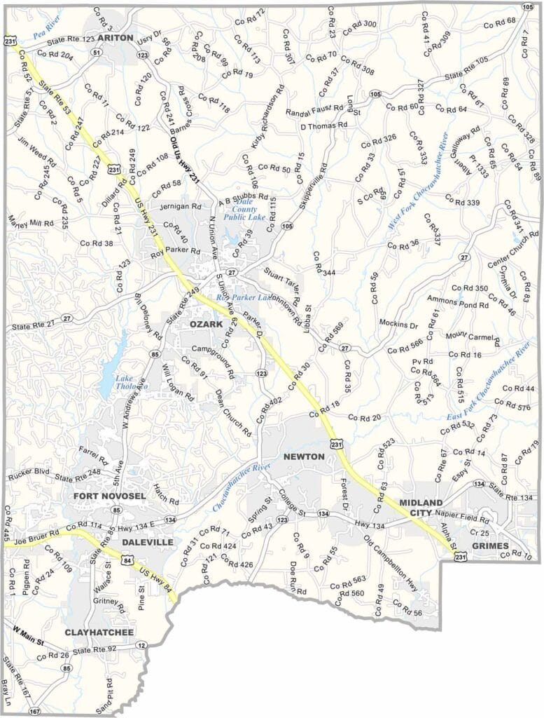
Dale County Map Download Alabama – Outline Map and Blank Map

Dale County Map Download Alabama – Outline Map and Blank Map

Dale County location map showing its position in Alabama.

Dale County, Alabama

Dale County is located in southeastern Alabama, with Ozark serving as the county seat. The county is home to Fort Novosel (formerly Fort Rucker), a major U.S. Army installation that brings a strong military presence to the region.

In Ozark, Ed Lisenby Lake is a popular local spot, known for its shaded picnic areas and recreational atmosphere. The county also features notable landmarks such as the Dale County Courthouse and the historic Claybank Church.

With a population of around 50,000, Dale County is served by major routes including U.S. Highways 231 and 84. It is named after General Samuel Dale, a pioneer and military leader.
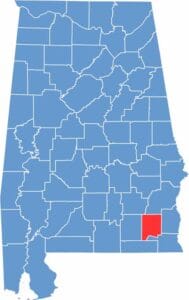

Dale County location map showing its position in Alabama.
Category Details
County Name Dale County
County Seat Ozark
Cities, Towns, and Communities Ozark, Daleville, Level Plains, Ariton, Newton, Midland City, Pinckard, Clayhatchee, Napier Field, Grimes
Interstates and Highways U.S. Highway 231, U.S. Highway 84, State Route 27, State Route 134, State Route 123
Etymology Named after General Samuel Dale, a pioneer and military leader
FIPS Code 01-045
Total Area (Land and Water) 563 square miles (Land: 561 sq mi, Water: 2 sq mi)
Time Zone Central Time Zone (CT)
State Alabama
Coordinates 31.4329° N, 85.6107° W
Major Landmarks Fort Novosel (home of U.S. Army Aviation), Dale County Courthouse, Ed Lisenby Lake, Historic Claybank Church
Adjacent Counties (and Direction) Pike County (Northwest), Barbour County (North), Henry County (East), Houston County (Southeast), Geneva County (Southwest), Coffee County (West)
Population Approximately 48,000
Scroll to Top