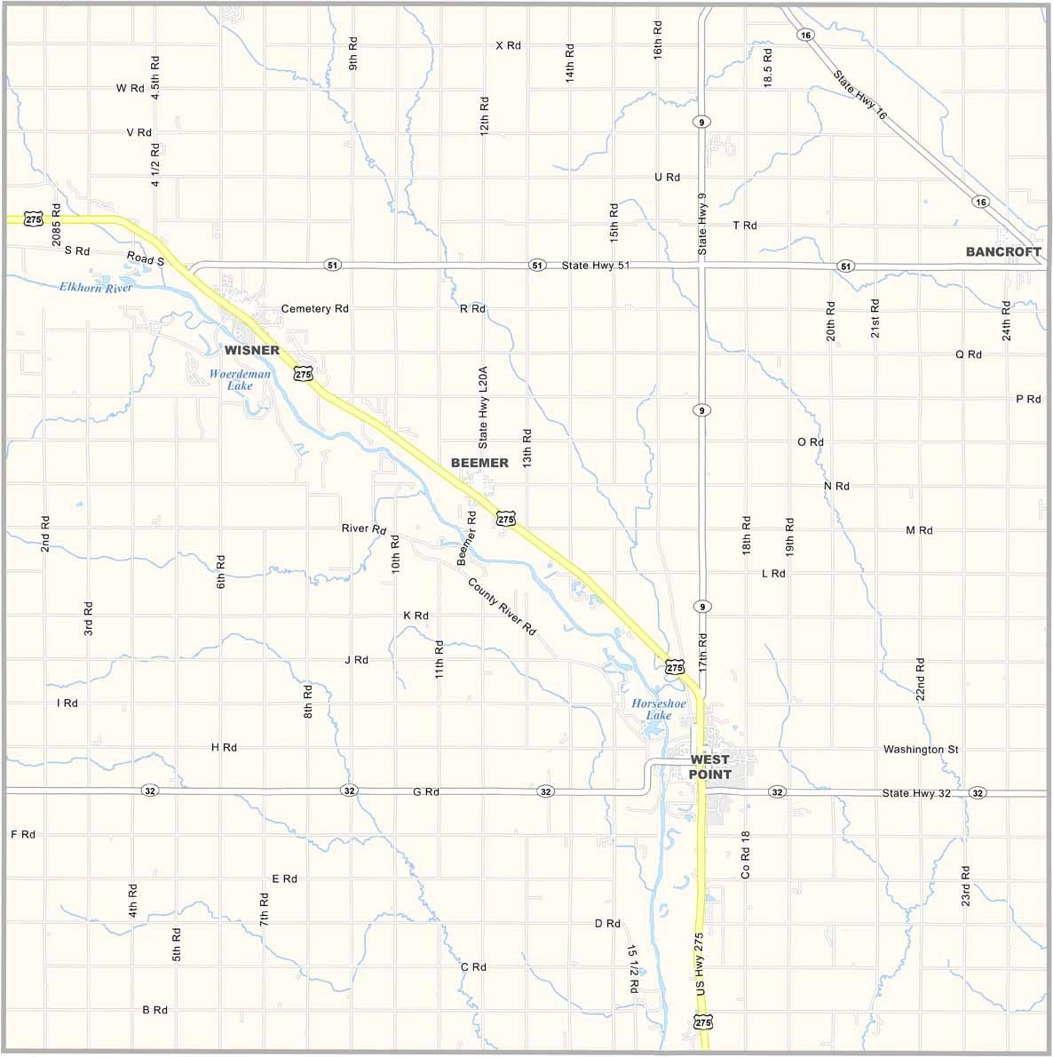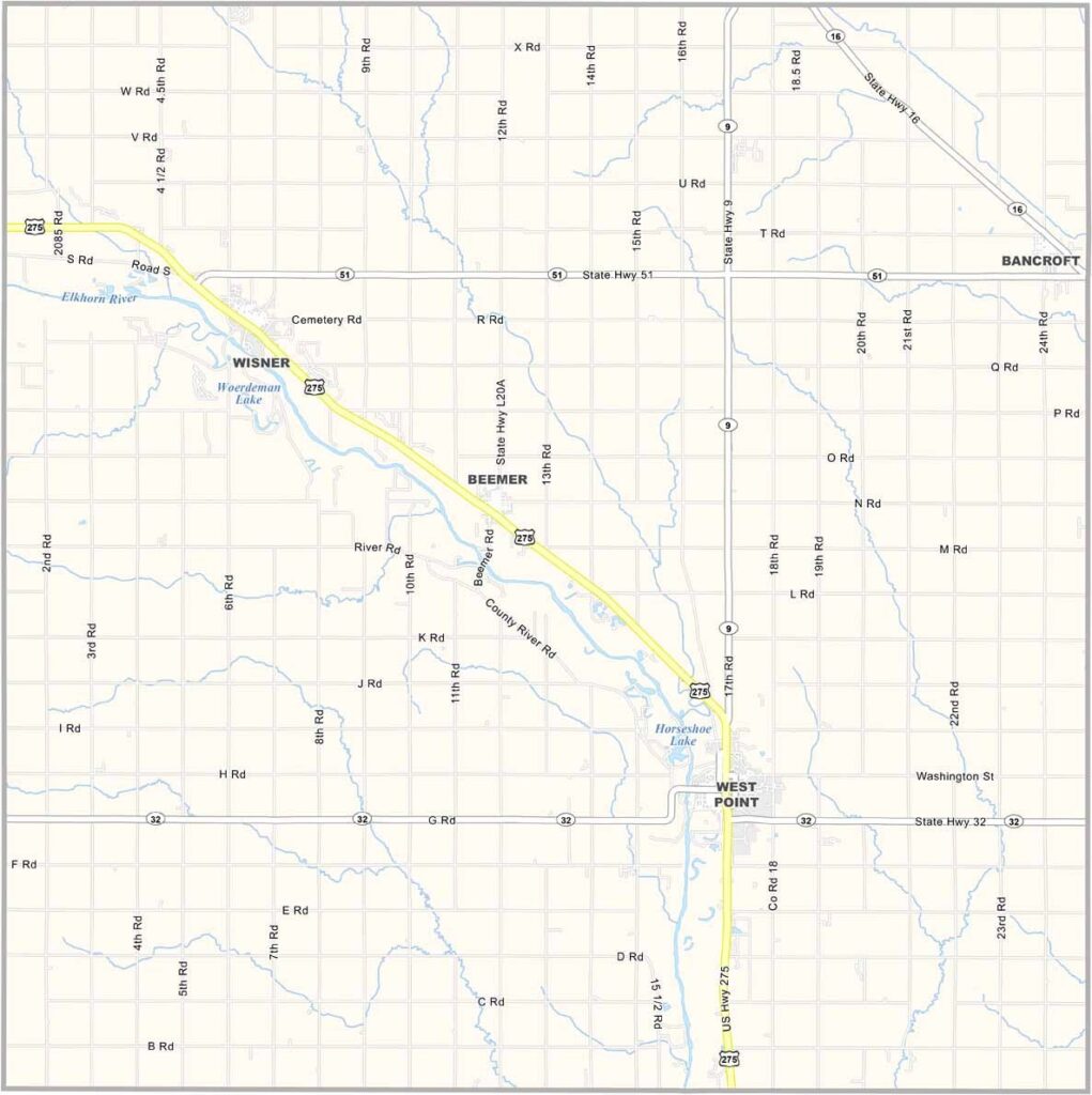
Cuming County Map, Nebraska

Cuming County, Nebraska

Cuming County is located in eastern Nebraska, where agriculture plays a major role in daily life. But it’s not all about crops. The county is known as the “Nebraska Livestock County.”

The Elkhorn River flows through the area, creating scenic views, especially around Horseshoe Lake. The landscape combines gently rolling hills with fertile farmland.

West Point serves as the county seat and is located along U.S. Highway 275. It’s a close-knit community with plenty of local events and a strong agricultural heritage.
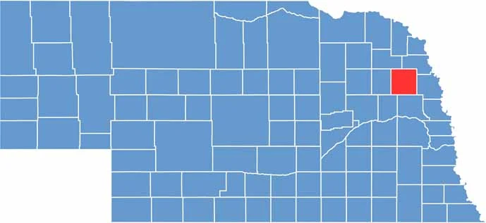

Cuming County location map of Nebraska
CategoryDetails
County NameCuming County
County SeatWest Point
EtymologyNamed after Thomas B. Cuming, the first Secretary and acting Governor of the Nebraska Territory
Cities, Towns, and CommunitiesWest Point, Wisner, Beemer, Bancroft
Interstates and HighwaysUS Hwy 275, NE 9, NE 15, NE 51
FIPS Code31-039
Total Area (Land and Water)575 square miles (Land: 572 sq mi, Water: 3 sq mi)
Adjacent Counties (and Direction)Thurston County (Northeast), Burt County (East), Dodge County (South), Colfax County (Southwest), Stanton County (West), Wayne County (Northwest)
Time ZoneCentral Time Zone (CT)
StateNebraska
Coordinates41.9170° N, 96.7888° W
Major LandmarksNeligh Park, Cuming County Fairgrounds, John G. Neihardt State Historic Site
PopulationApproximately 8,700
Scroll to Top