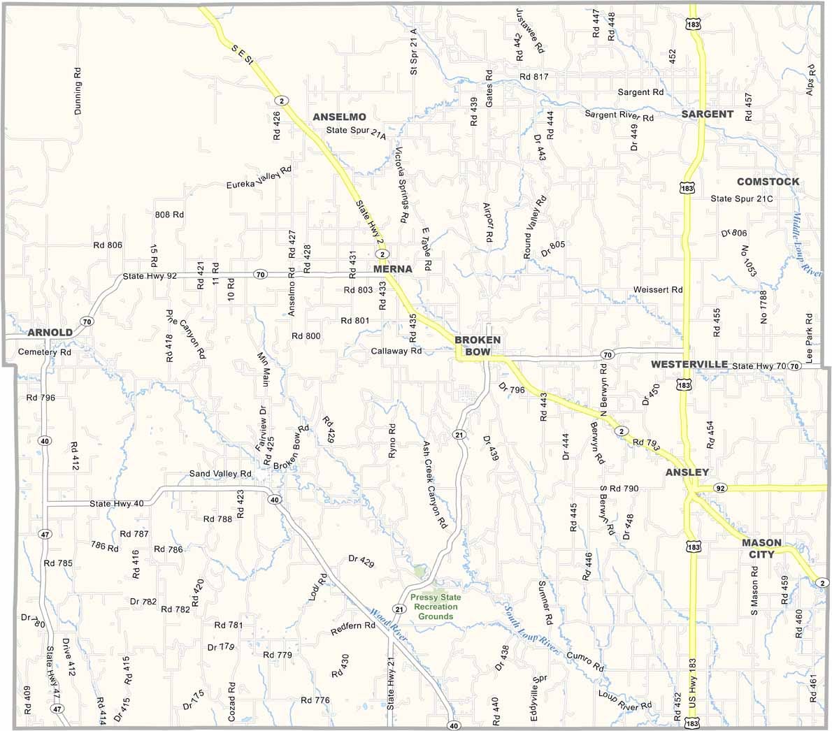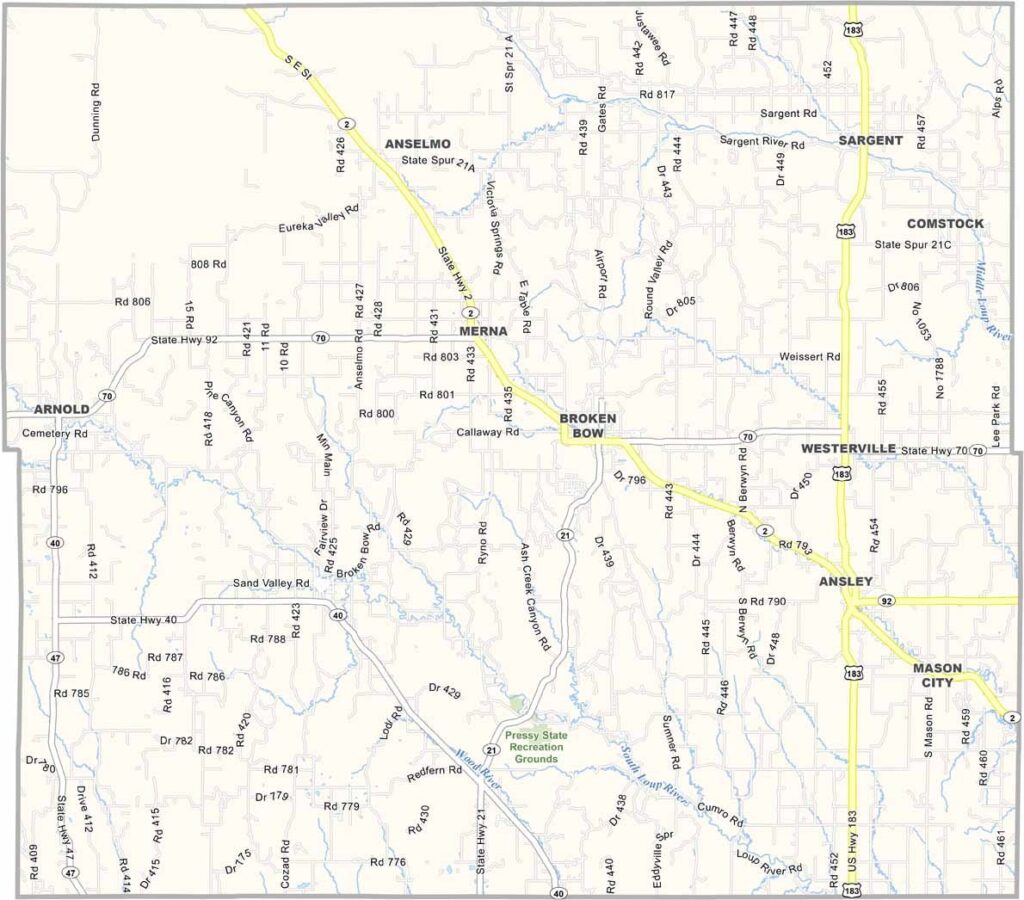
Custer County Map, Nebraska

Custer County, Nebraska

Custer County is located in the center of Nebraska, covering a large portion of the state’s central region. It’s named after the well-known, and somewhat controversial, General George Armstrong Custer.

Broken Bow serves as the county seat. Don’t worry, though—there aren’t any actual broken bows lying around. The landscape features a mix of rolling hills and valleys, with the South Loup River winding through the area.

There’s a strong sense of community here, especially during the annual Custer County Fair each summer. Part of the Pressey State Recreation Grounds is also located in the county. And yes, there’s actually some decent hunting in Nebraska!
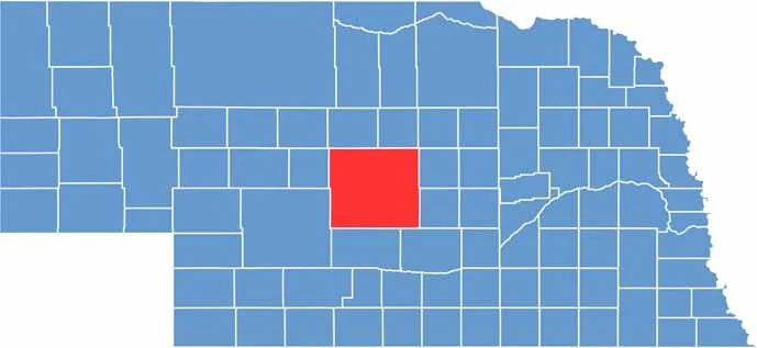

Custer County location map of Nebraska
CategoryDetails
County NameCuster County
County SeatBroken Bow
EtymologyNamed after General George Armstrong Custer
Cities, Towns, and CommunitiesBroken Bow, Ansley, Callaway, Arnold, Sargent, Merna, Anselmo, Berwyn, Oconto
Interstates and HighwaysUS 183, NE 2, NE 92, NE 70
FIPS Code31-041
Total Area (Land and Water)2,576 square miles (Land: 2,576 sq mi, Water: 0.2 sq mi)
Adjacent Counties (and Direction)Valley County (Northeast), Sherman County (Southeast), Buffalo County (Southeast), Dawson County (South), Lincoln County (Southwest), Logan County (West), Blaine County (Northwest), Loup County (Northeast)
Time ZoneCentral Time Zone (CT)
StateNebraska
Coordinates41.4033° N, 99.6830° W
Major LandmarksVictoria Springs State Recreation Area, Nebraska One Box Pheasant Hunt, Sandhills Journey Scenic Byway
PopulationApproximately 10,800
Scroll to Top