
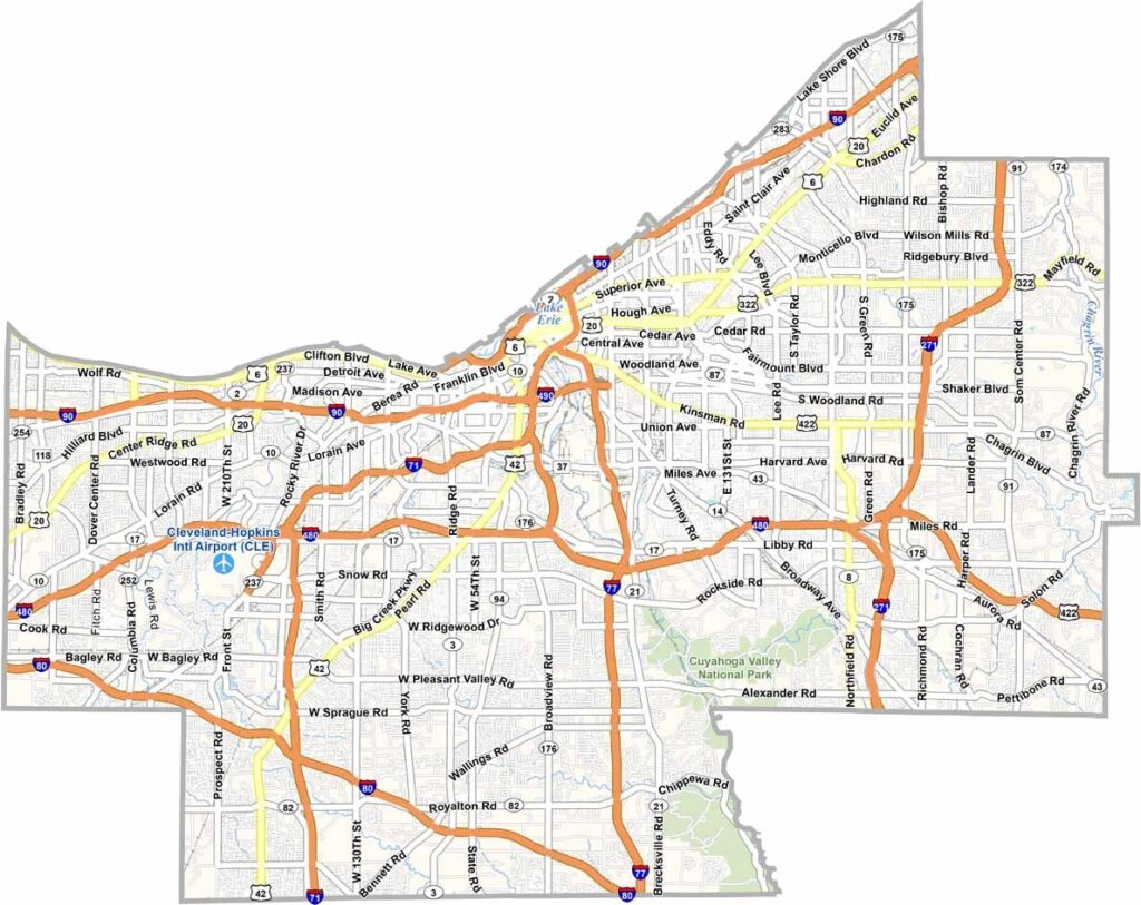
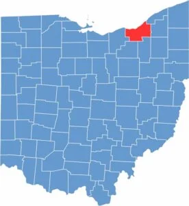
Cuyahoga County is the heart of Northeast Ohio. Cleveland serves as the county seat and is a city known for reinvention. Once dominated by heavy industry, it has evolved into a hub for healthcare, biotech, and the arts. The county is also home to world-class institutions such as the Cleveland Clinic and the Rock and Roll Hall of Fame.
But Cuyahoga County isn’t entirely urban. The Cleveland Metroparks, known as the “Emerald Necklace,” provides green spaces throughout the county. Each suburb has its own distinct character, from the stately homes of Shaker Heights to the lakefront charm of Rocky River.
Diversity is one of the county’s strengths, with communities representing cultures from around the world. Sports are also a major part of life here, with the Browns, Guardians, and Cavaliers keeping fans cheering throughout the year. From city skylines to lakefront views, Cuyahoga County has plenty of character.
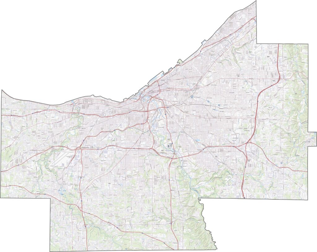
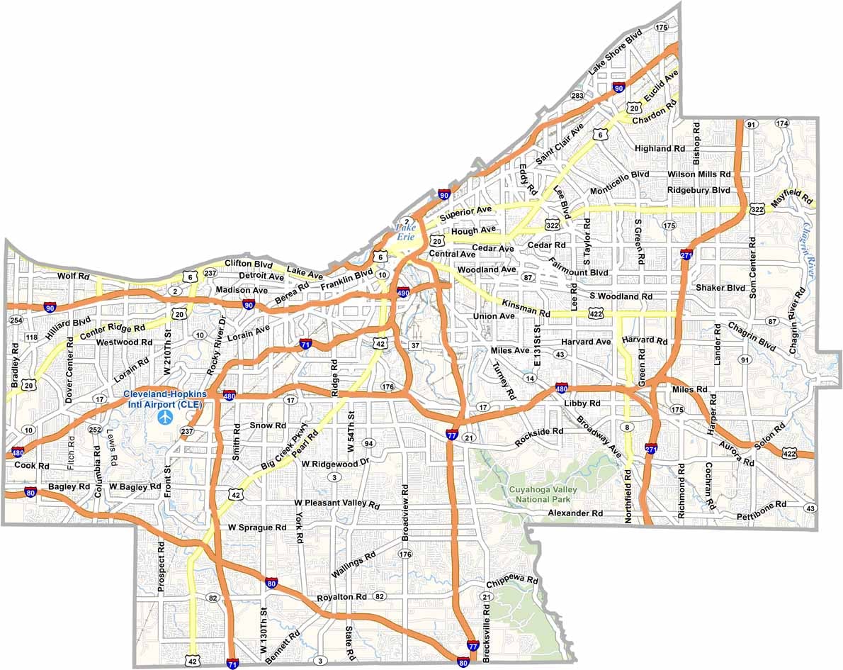
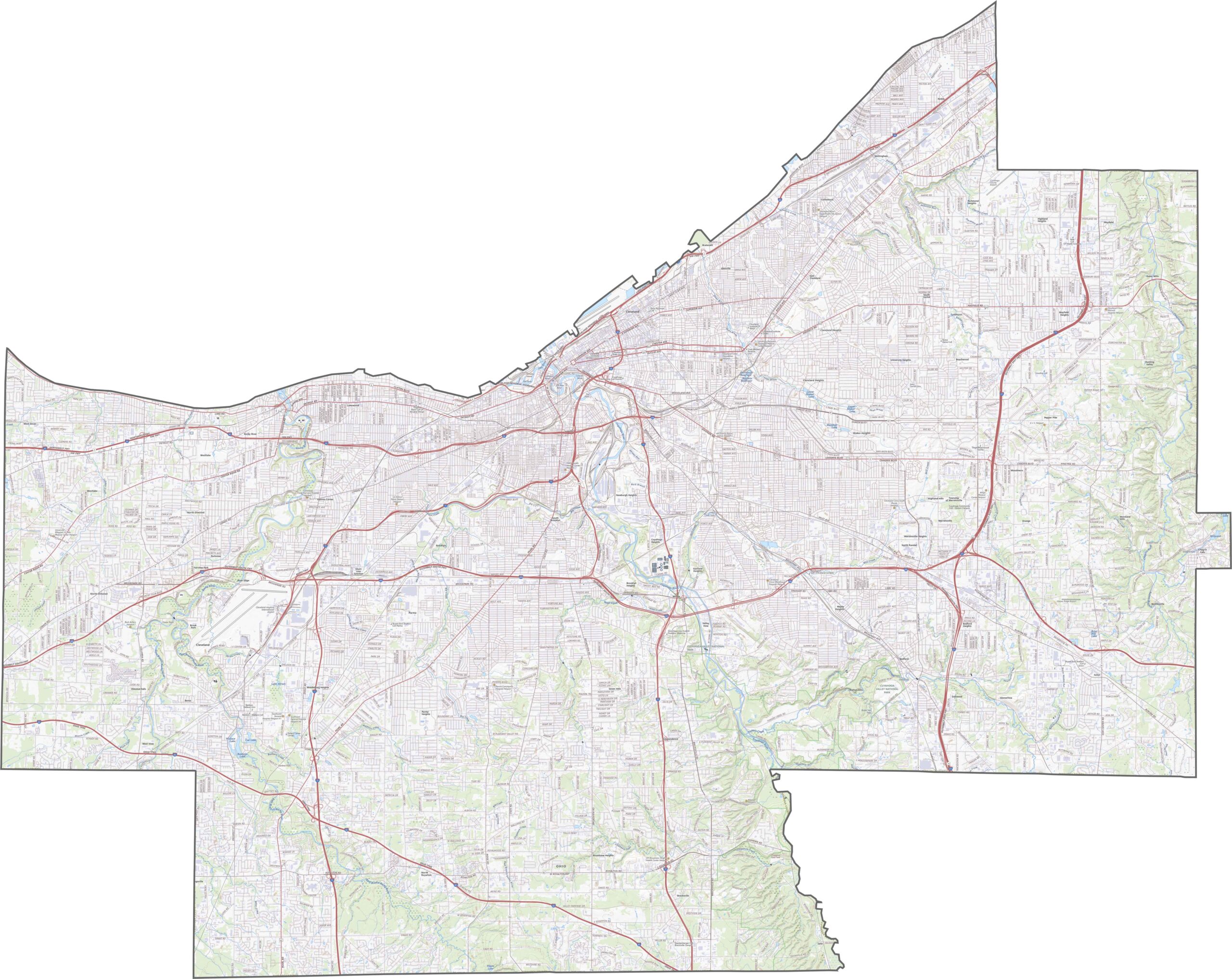
With Cleveland at its center, Cuyahoga County has a dense interstate network. I-71, I-77, and I-90 converge near downtown, while I-480 forms a busy loop around the city. Although traffic can be heavy, these highways are essential for commuting and industry. Use our zoom tool below to explore the road network and individual exits in greater detail.
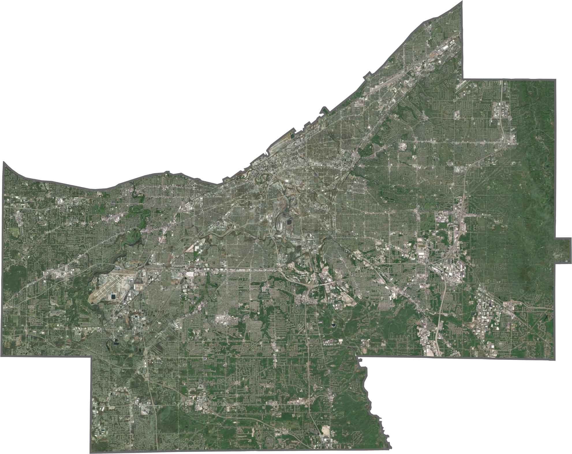
From above, Cleveland’s urban grid dominates the northern part of the county. Roads, rail lines, and buildings cover much of the area, but parks and green spaces still stand out throughout the city. The Cuyahoga Valley appears in the south as a long, wooded strip, while Lake Erie forms the northern edge.
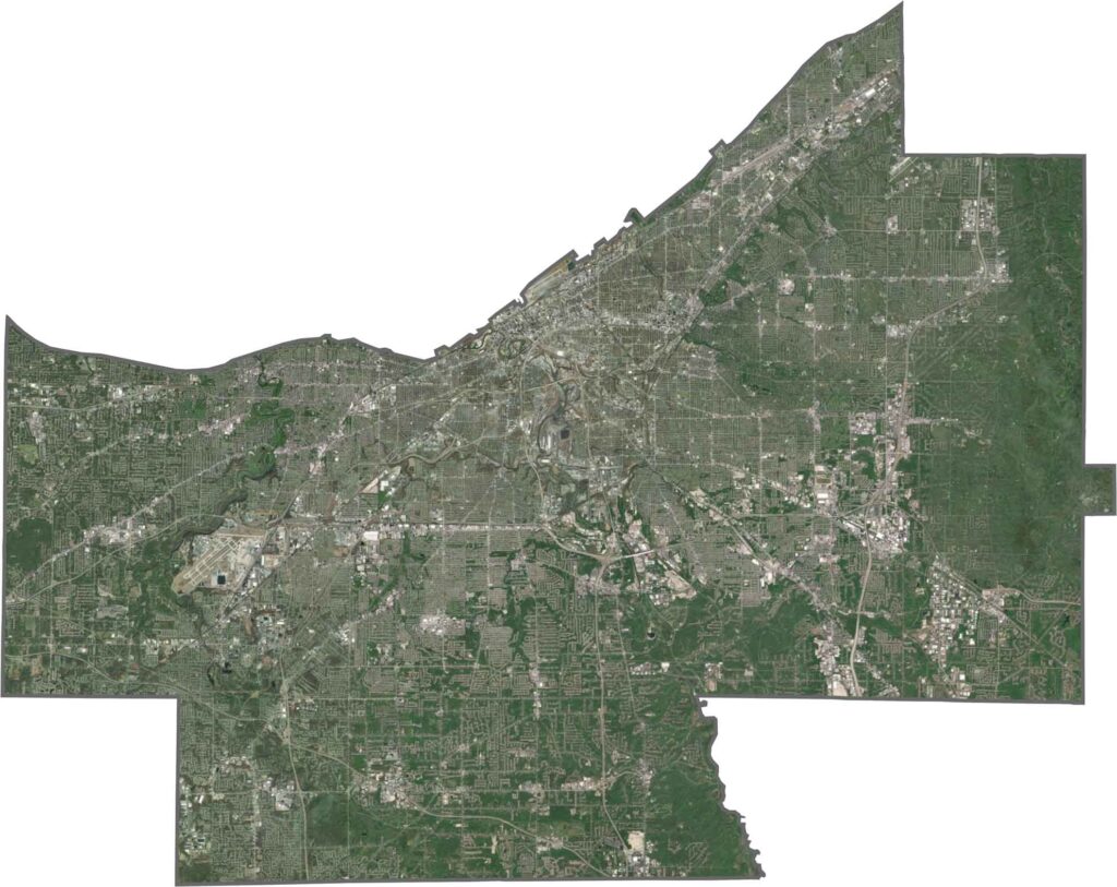
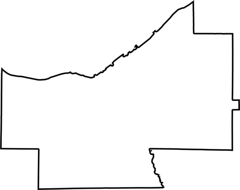
Cuyahoga County has a jagged, urban-shaped outline. Lake Erie forms the northern boundary, creating a curved natural shoreline, while the remaining edges feature sharper, more angular lines. The county does not border another state, but its lakefront gives it a distinctive geographic feature.








Forget the coast. Ohio’s 88 counties are where everyday America comes alive. No pretense, no postcard perfection—just hardworking towns and quiet backroads that grow on you. This is the Midwest without the filter.