
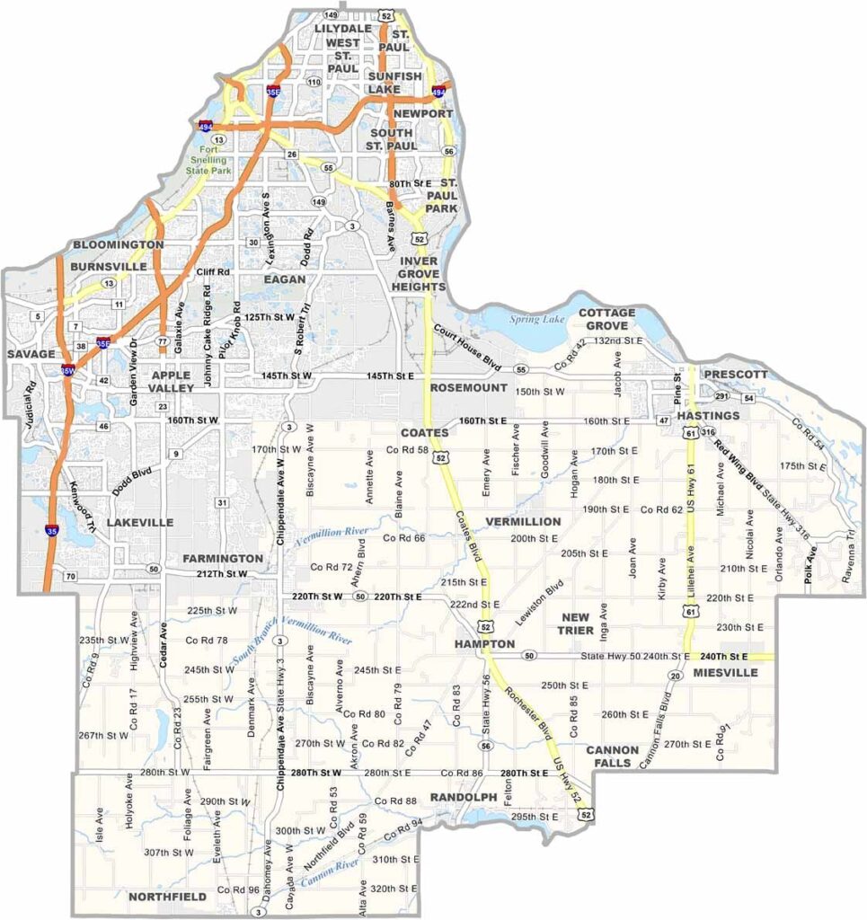
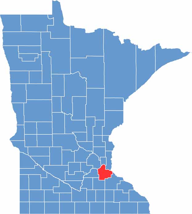
The Twin Cities metro area sprawls southward into Dakota County, the third most populous county in Minnesota. Located just southeast of Minneapolis and St. Paul, it offers residents the best of both worlds.
They can catch a Twins game downtown, then head home to acres of farmland or quiet suburban streets. The Mississippi River forms the county's northeast border, complete with scenic bluffs and riverside parks.
Lakeville boasts great schools and even better fishing lakes. Eagan, the largest city, is a hotspot for tech companies and outlet shopping. But drive a few miles south and you'll find yourself surrounded by cornfields and old barns.
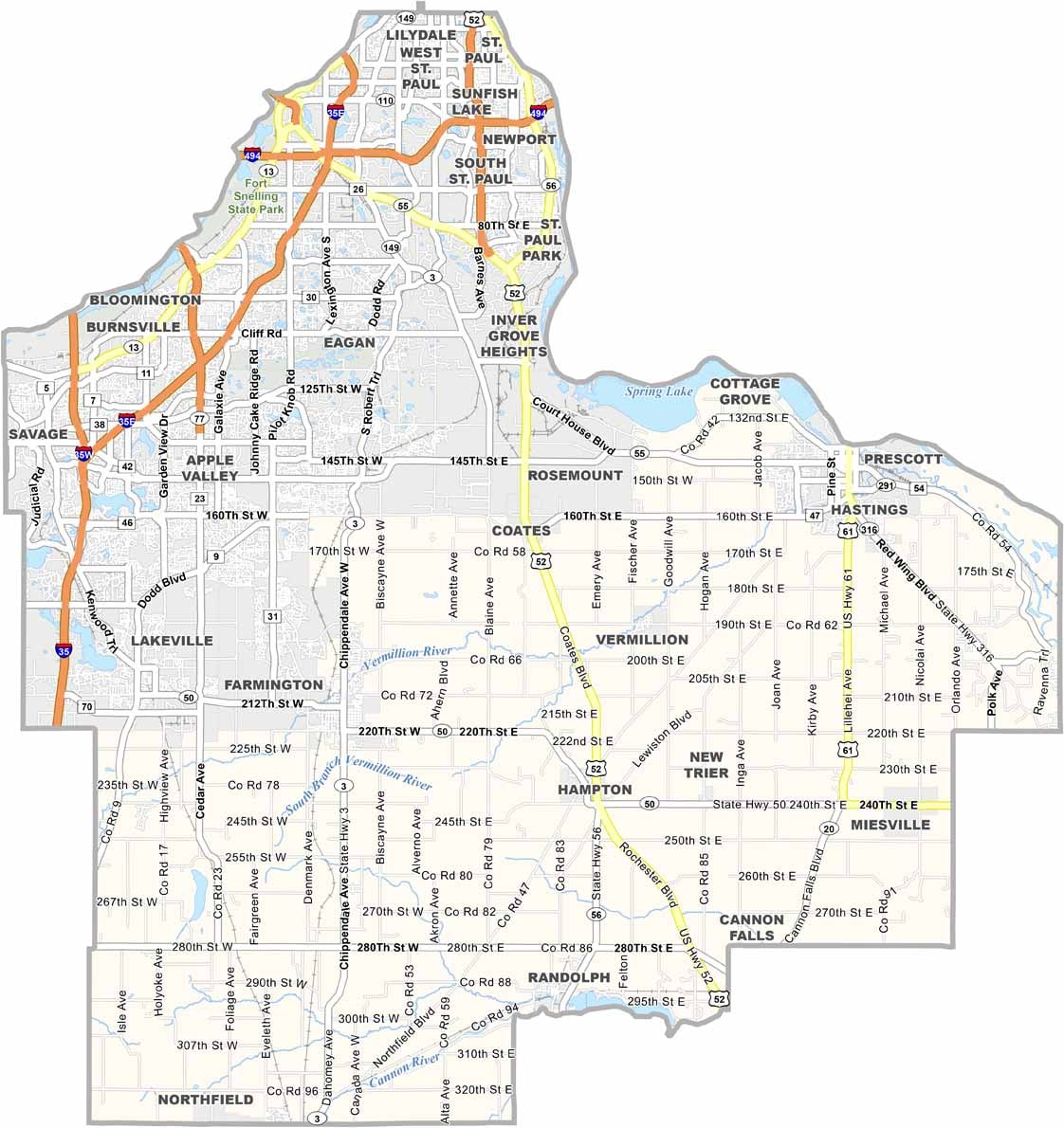
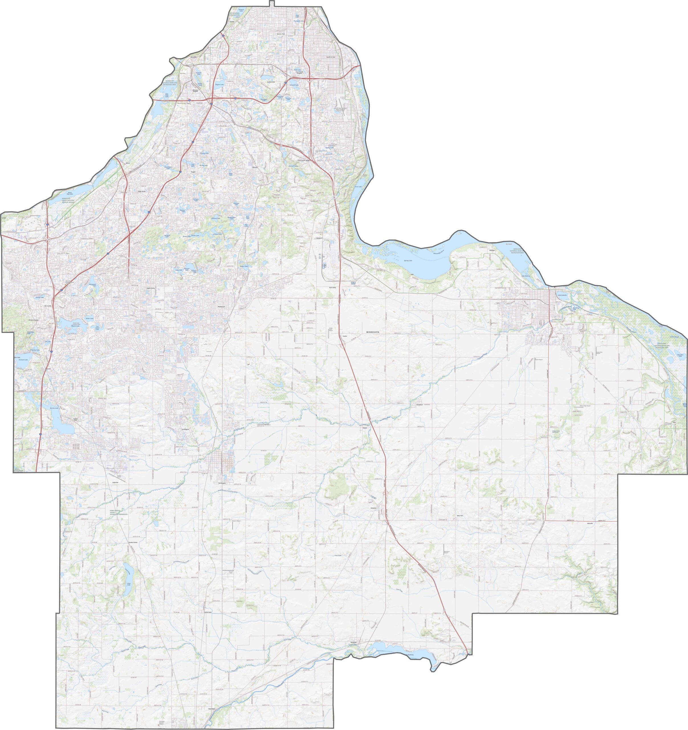
Dakota County is packed with highways and roads. Interstate 35E and 35W split through it, U.S. Highway 52 heads south, and Highway 55 runs across the middle. Though busy, it's easy to drive around, and you can zoom in on each road with our map tool.
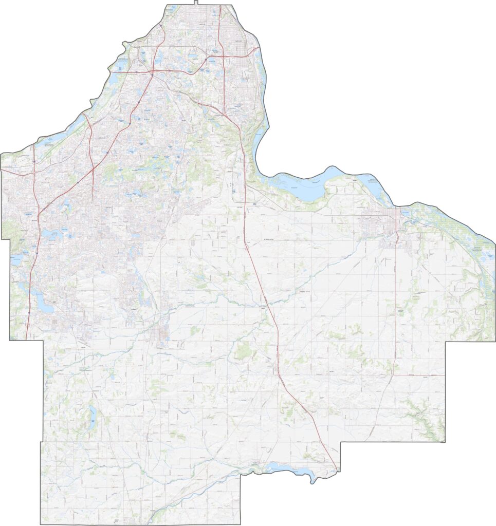
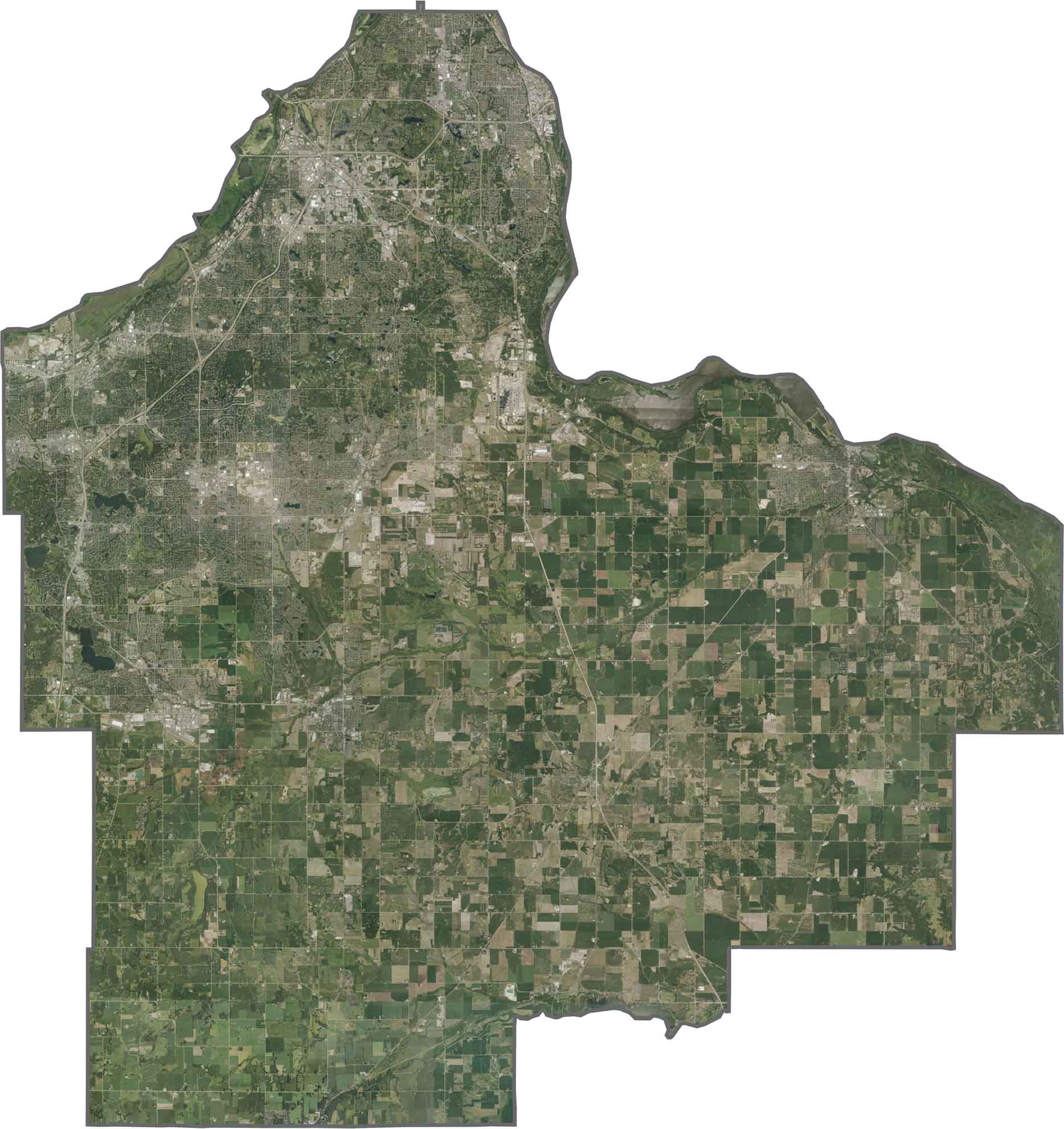
Dakota County looks like suburbs up north and farms down south. The Mississippi River shines along the northern edge. Though cities fill much of the north, parks and fields still pop up. Mining sites show up near the bluffs too.
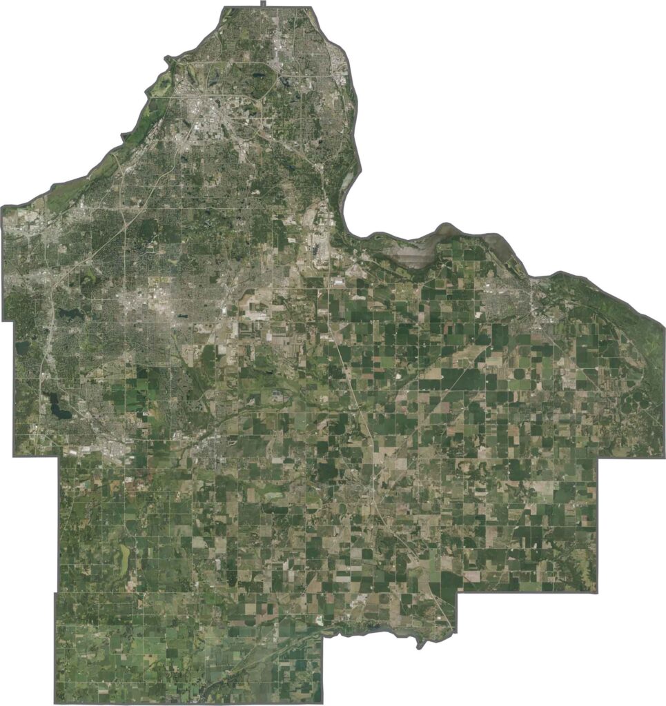
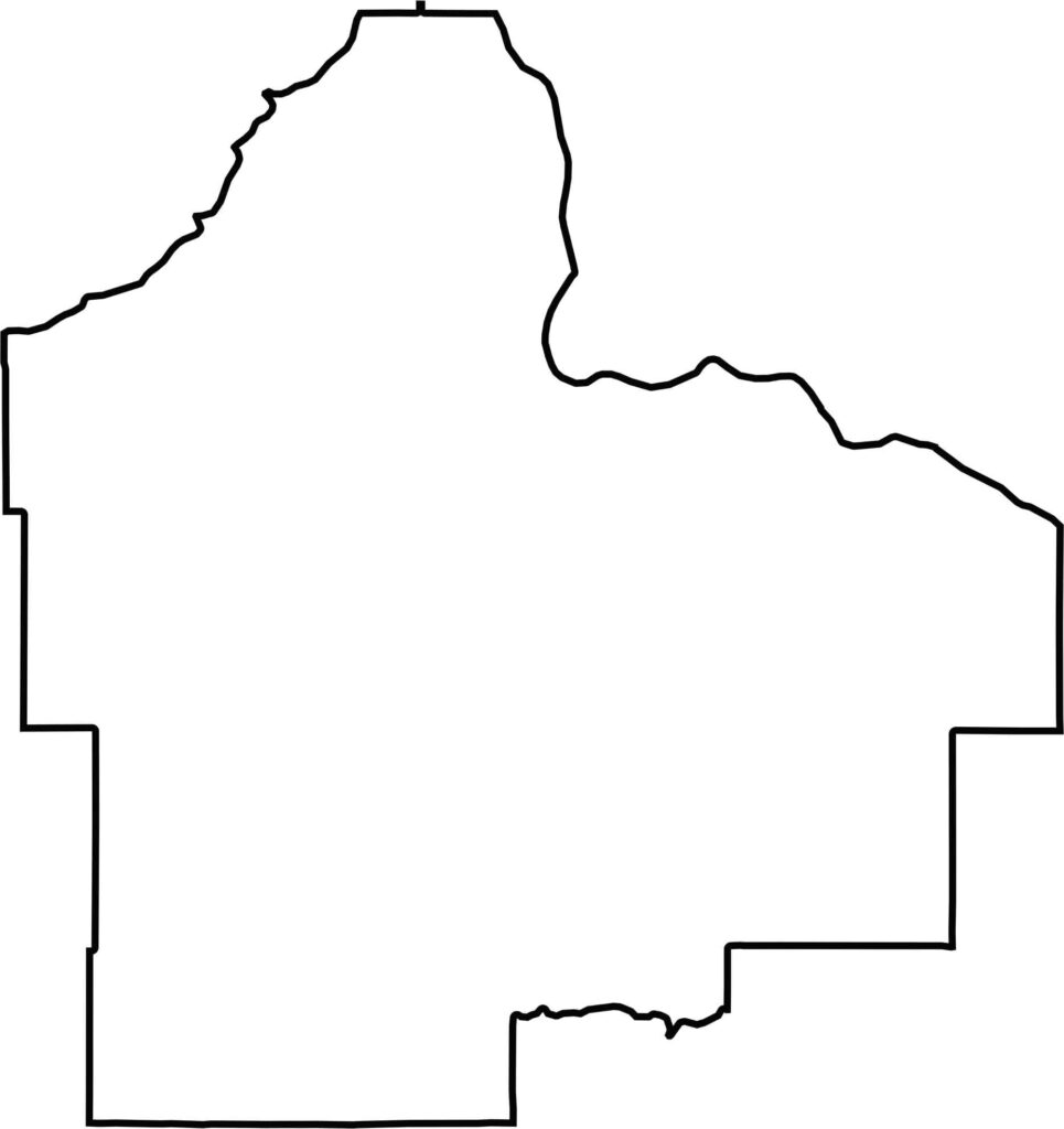
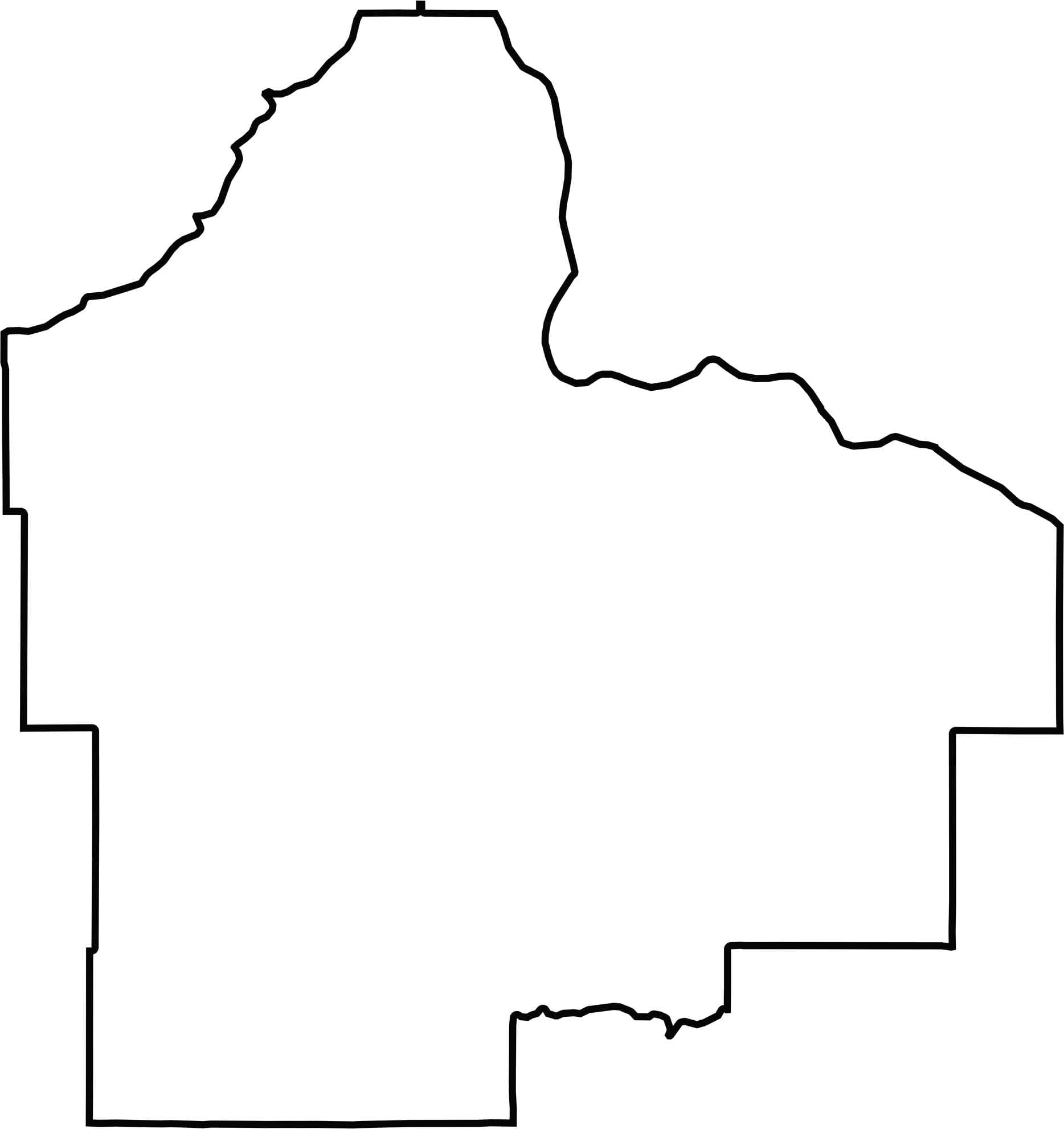
Dakota County is long and skinny. The Mississippi River forms the northeast border, and Wisconsin is located to the east. Most of the borders are straight survey lines.






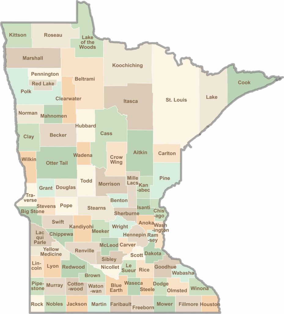
Land of 10,000 Lakes? How about the land of 87 counties to explore? Say hello to Hennepin County (Minneapolis) or the shores of Lake Superior. Get to know all the counties of Minnesota right here.