
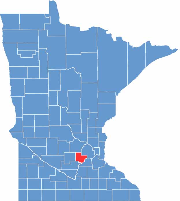
Carver County sits just southwest of the Twin Cities, blending a small-town vibe with suburban convenience. The Minnesota River forms its southern border, while Lake Minnetonka kisses its northeastern edge.
Farming is popular here, but don't let that fool you. This county has a growing population and some serious tech jobs. Nature lovers head to Carver Park Reserve.
Chaska, the county seat, mixes old and new with its cute downtown. Carver County's history runs deep, with roots in German and Swedish immigration. It's also a hotspot for lakeside living and summer fun.
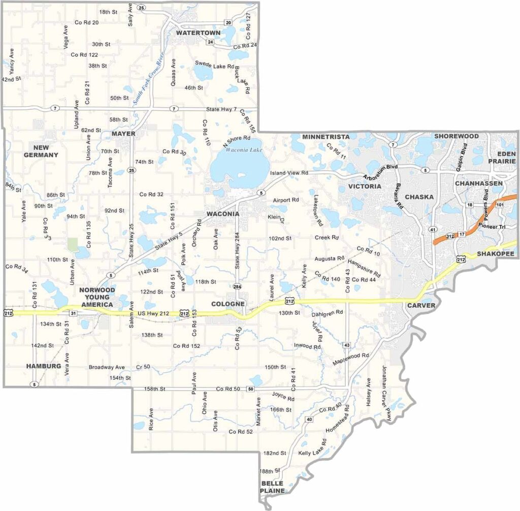
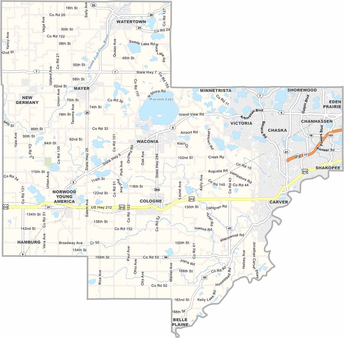
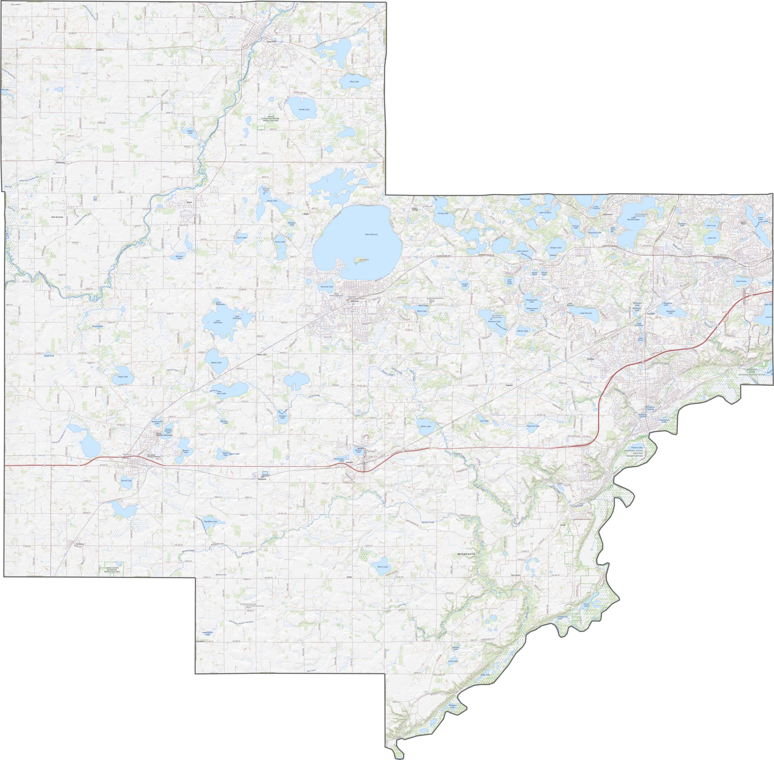
Carver County has fewer major roads than other large counties in Minnesota. U.S. Highway 212 runs east to west, while Highway 25 crosses the northern part of the county. You can zoom in close to see every highway on our map.
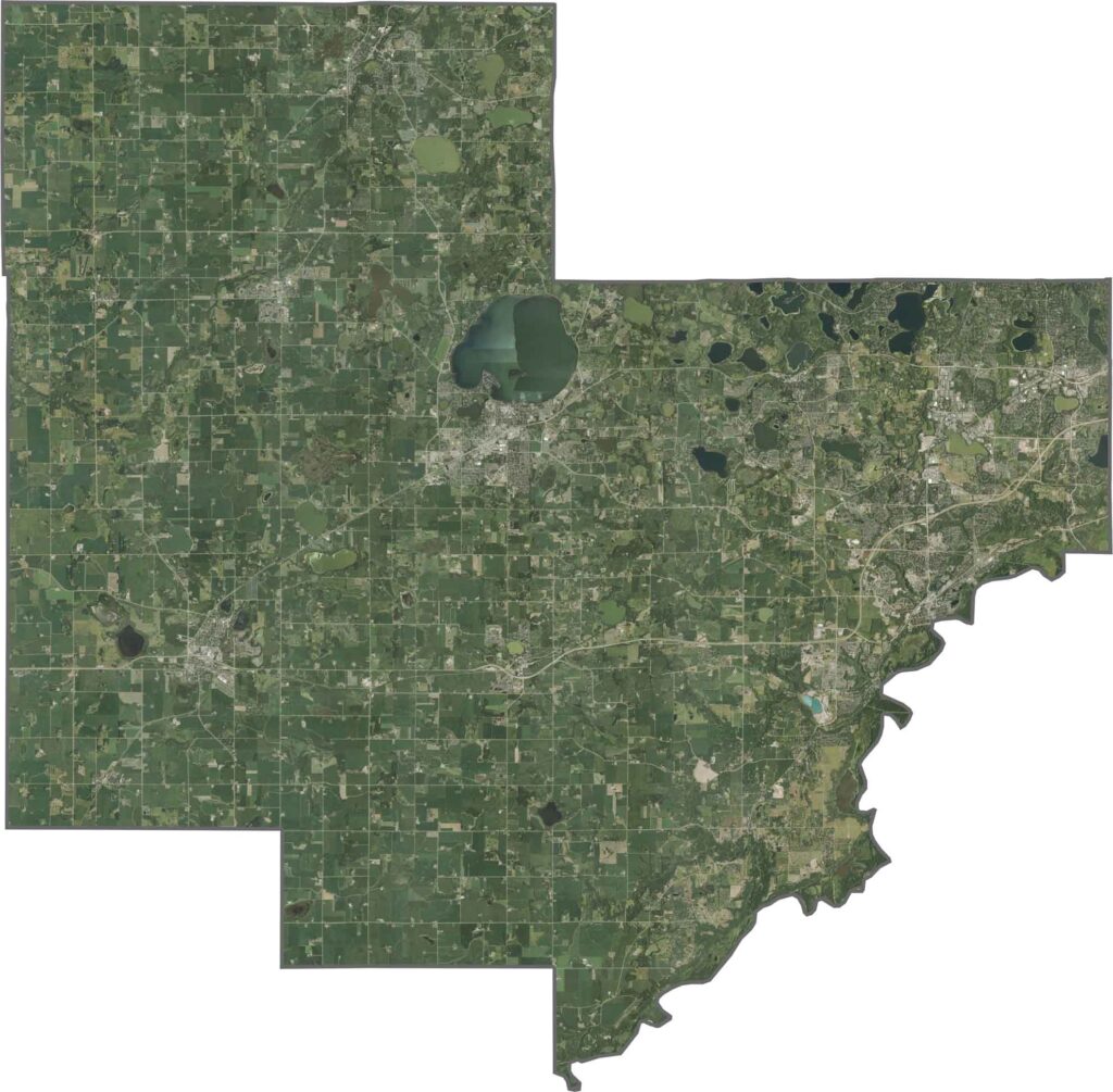
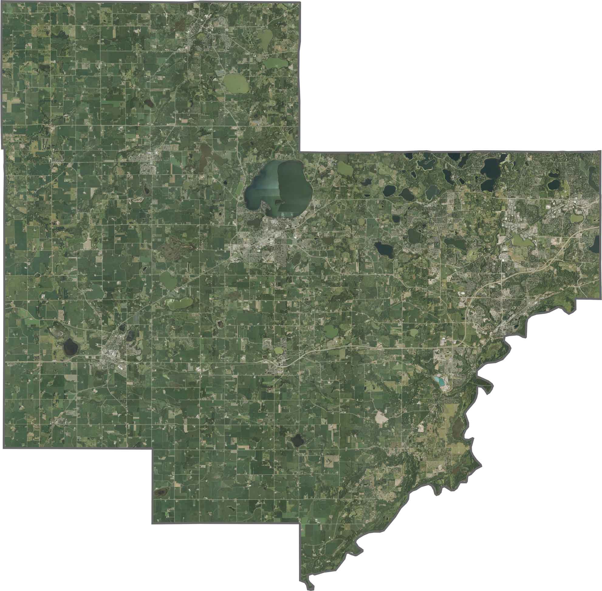
From above, Carver County looks like a patchwork of farmland and towns, with fields stretching across the west. Even as suburbs continue to grow, lakes and parks still cover plenty of ground.
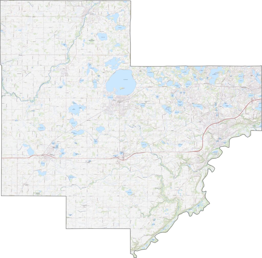
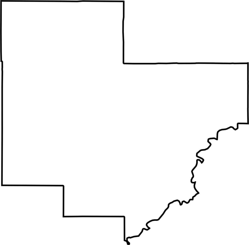
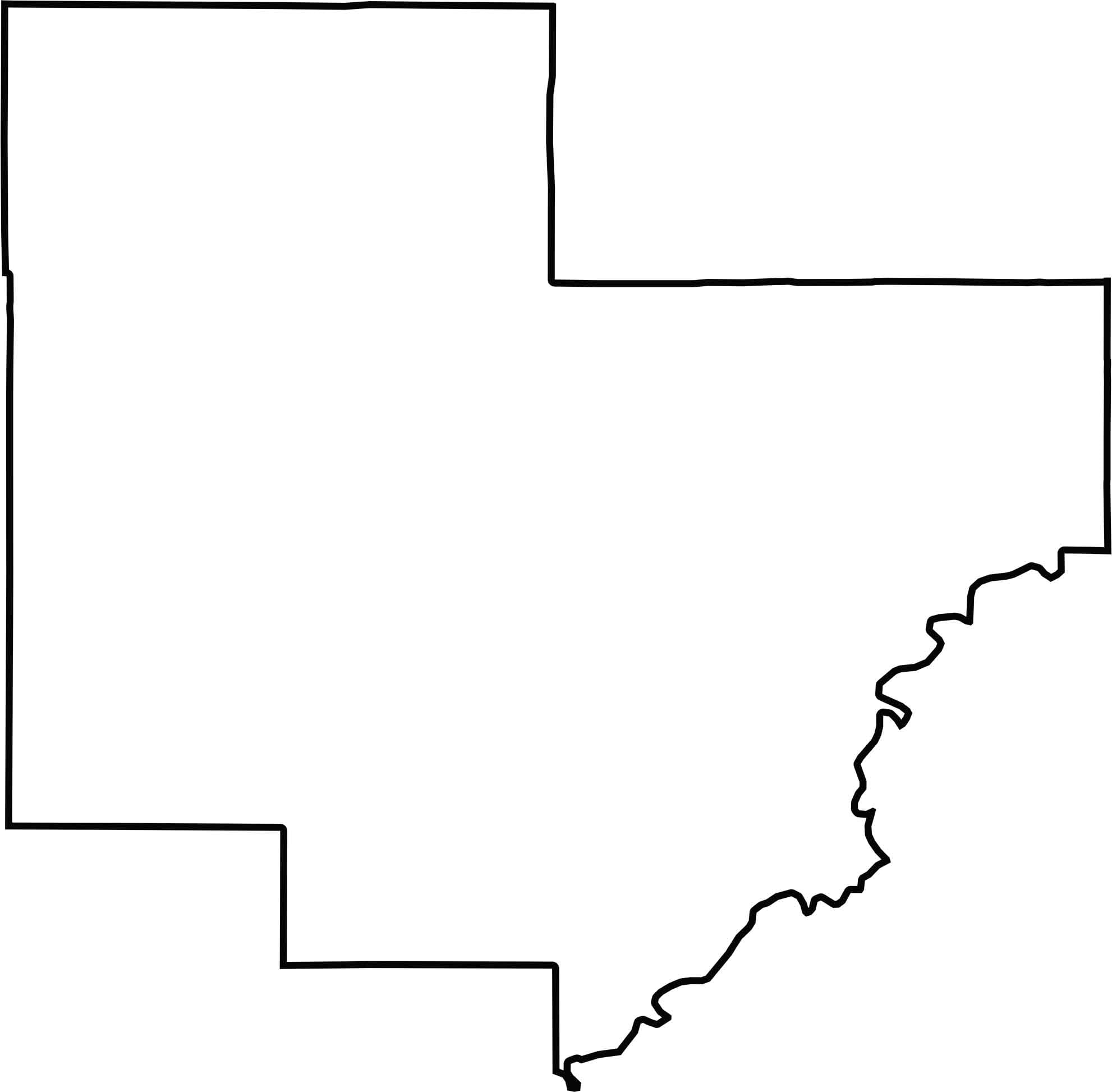
Carver County has a stretched shape with a soft curve on the east. The Minnesota River marks part of the southeast border.






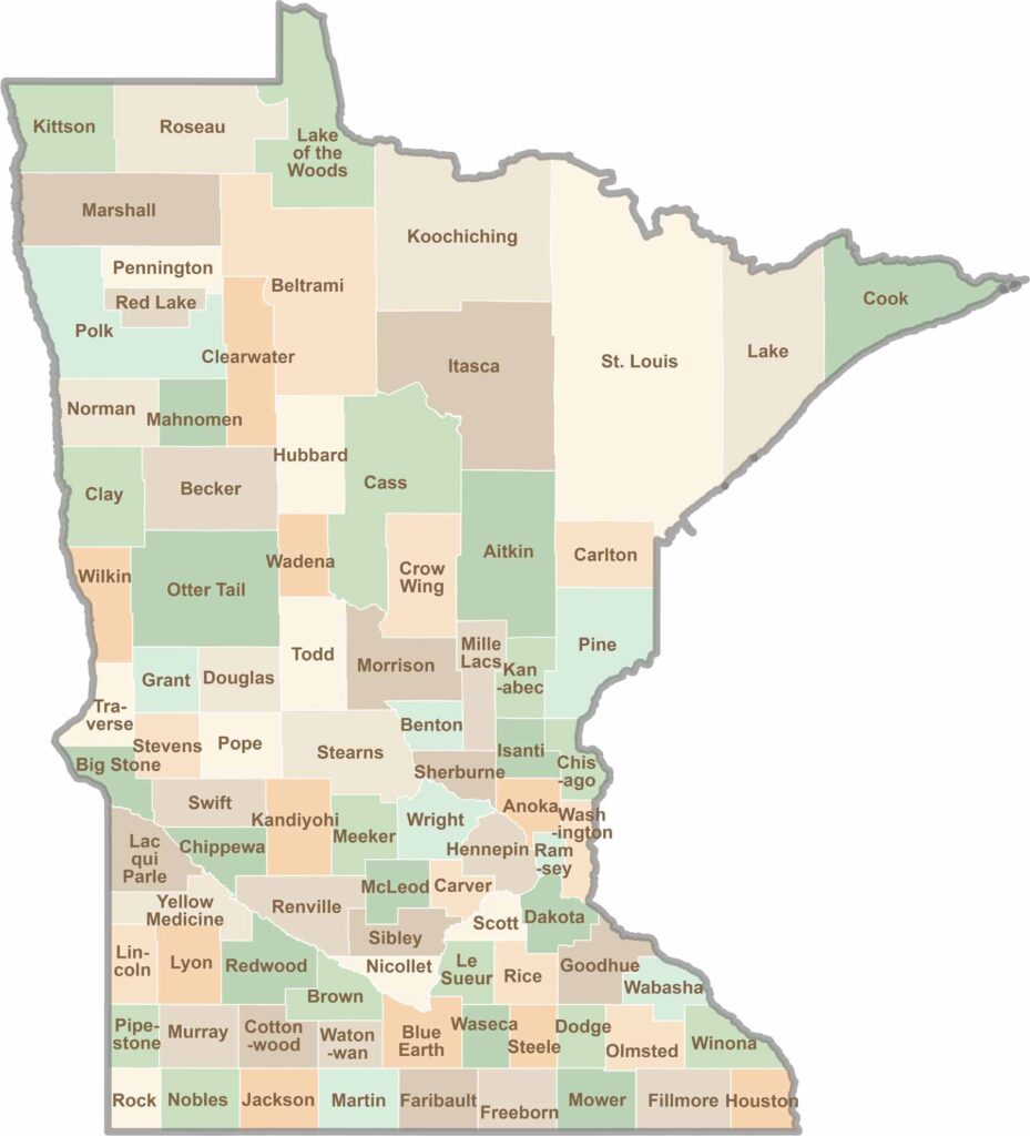
Land of 10,000 Lakes? How about the land of 87 counties to explore? Say hello to Hennepin County (Minneapolis) or the shores of Lake Superior. Get to know all the counties of Minnesota right here.