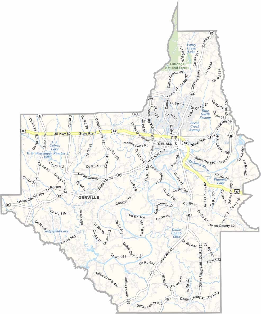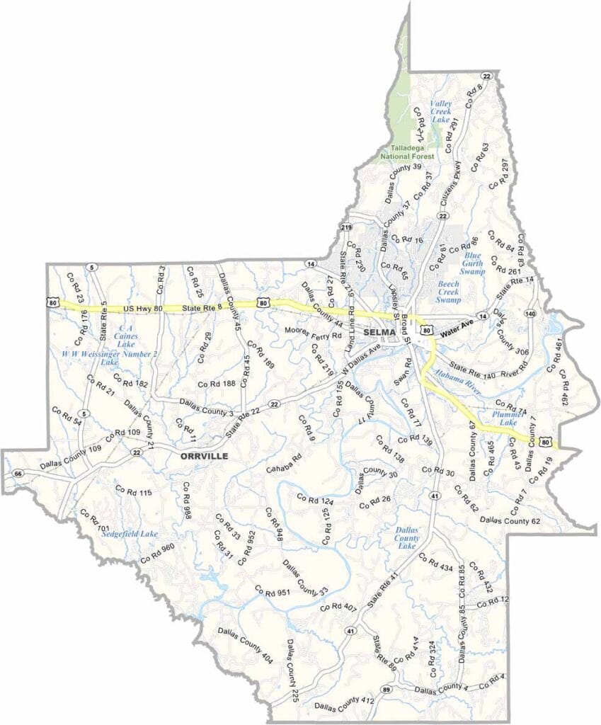
Dallas County Map Download Alabama – Outline Map and Blank Map

Dallas County Map Download Alabama – Outline Map and Blank Map

Dallas County Maps Alabama

Dallas County, Alabama

Dallas County is located in central Alabama, with Selma serving as the county seat. The county has a population of around 40,000.

It holds an important place in American history, particularly in the Civil Rights Movement. The Selma to Montgomery marches began here, and the Edmund Pettus Bridge became a symbol of the struggle following the events of “Bloody Sunday.”

Today, the county also embraces community celebrations, including an annual jubilee featuring music and local food. U.S. Highway 231 serves as a main route through the area. In Dallas County, Southern hospitality runs deep, with plenty of stories to match its well-known sweet tea.
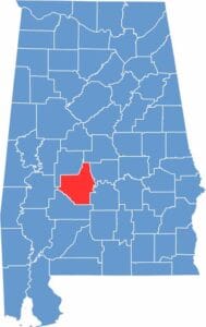

Dallas County Location Map Alabama
Category Details
County Name Dallas County
County Seat Selma
Cities, Towns, and Communities Selma, Valley Grande, Orrville, Sardis, Selmont-West Selmont, Marion Junction, Beloit, Minter, Plantersville
Interstates and Highways U.S. Highway 80, State Route 22, State Route 41, State Route 14, State Route 219
Etymology Named after Alexander J. Dallas, U.S. Secretary of the Treasury under President James Madison
FIPS Code 01-047
Total Area (Land and Water) 994 square miles (Land: 979 sq mi, Water: 15 sq mi)
Time Zone Central Time Zone (CT)
State Alabama
Coordinates 32.4073° N, 87.0240° W
Major Landmarks Edmund Pettus Bridge, Selma to Montgomery National Historic Trail, Old Cahawba Archaeological Park, Sturdivant Hall, National Voting Rights Museum and Institute
Adjacent Counties (and Direction) Chilton County (North), Autauga County (Northeast), Lowndes County (Southeast), Wilcox County (South), Marengo County (West), Perry County (Northwest)
Population Approximately 37,500
Scroll to Top