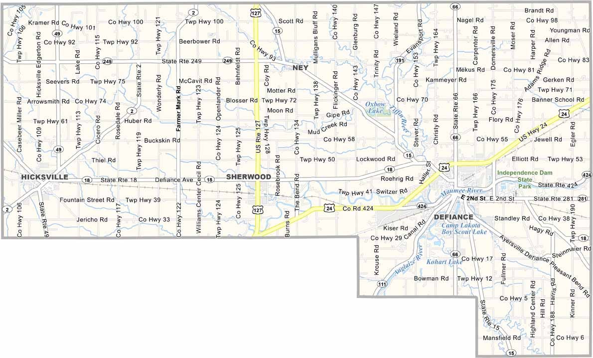
Defiance County Map, Ohio

Defiance County, Ohio

Defiance County sits at the confluence of the Auglaize and Maumee rivers in northwest Ohio. The name comes from Fort Defiance, built by General “Mad” Anthony Wayne in 1794, and visitors will love exploring the reconstructed fort.

The county has a strong manufacturing base, with several automotive suppliers calling it home. Agriculture plays a big role too, and you’ll see plenty of corn and soybean fields as you drive around.

Defiance, the county seat, lies right where the two rivers meet. The county is known for its excellent parks system, and Independence Dam State Park is a favorite spot for fishing and boating.
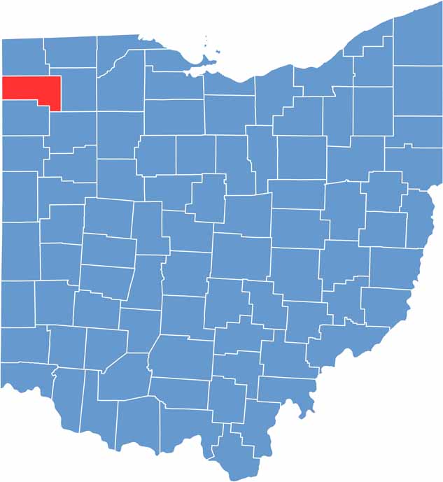

Defiance County location map of Ohio
CategoryDetails
County NameDefiance County
County SeatDefiance
EtymologyNamed after Fort Defiance
Cities, Towns, and CommunitiesDefiance, Napoleon, Hicksville, Sherwood
Interstates and HighwaysU.S. Highway 24, U.S. Highway 127, State Route 66
FIPS Code39-039
Total Area416 square miles (land and water)
Adjacent CountiesWilliams County (North), Henry County (East), Putnam County (Southeast), Paulding County (South), Allen County, Indiana (Southwest), DeKalb County, Indiana (West)
Time ZoneEastern Time Zone
StateOhio
Coordinates41.2839° N, 84.3502° W
Major LandmarksIndependence Dam State Park, Defiance County Historical Society Museum, Defiance College
PopulationApproximately 38,000
Scroll to Top