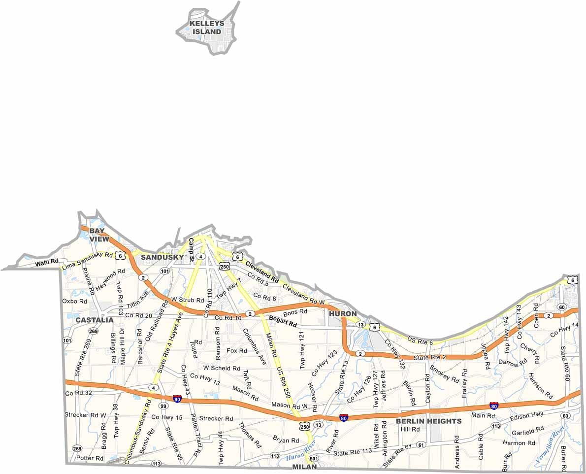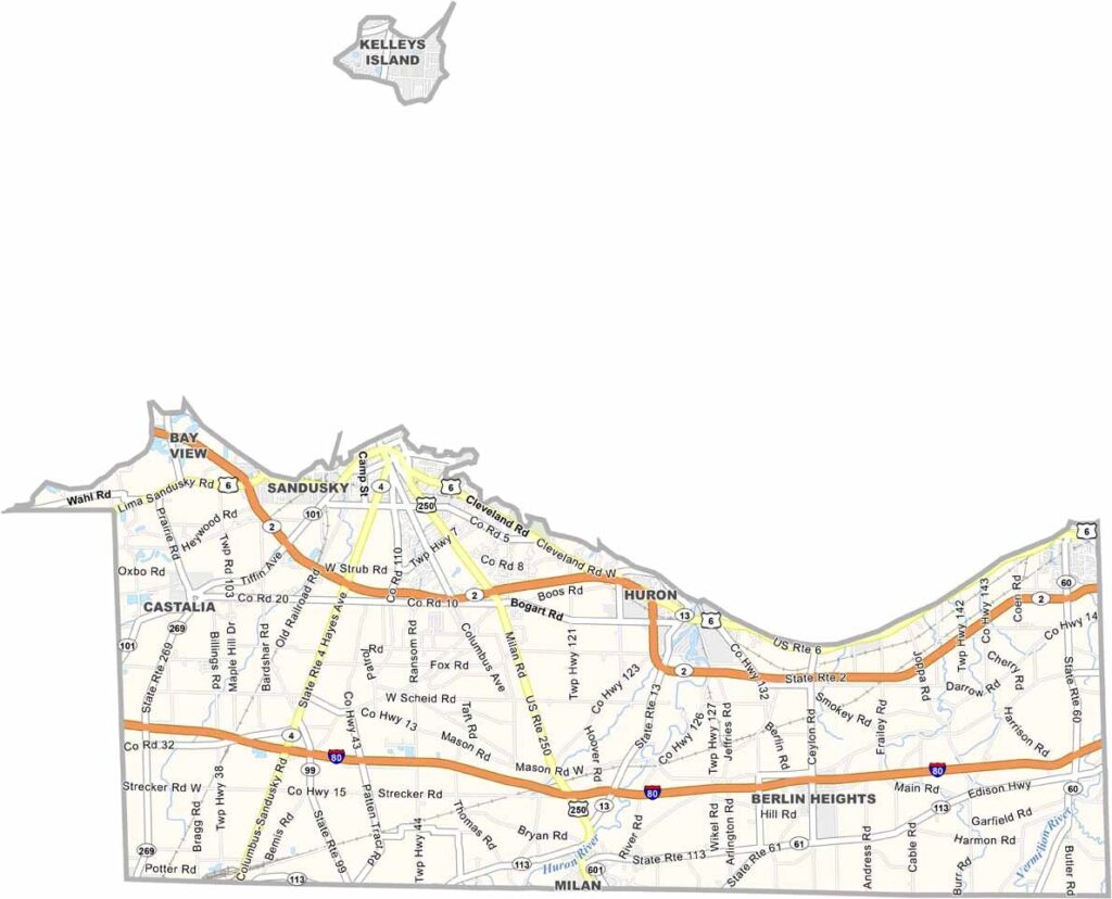
Erie County Map, Ohio

Erie County, Ohio

Erie County is a summer playground for many Ohioans, with the shores of Lake Erie defining its northern border. Cedar Point, the roller coaster capital of the world, is located in Sandusky, Ohio.

Sandusky, the county seat, sits right on Lake Erie. Visitors will love the Maritime Museum of Sandusky, which tells the story of the area’s rich nautical past.

The county’s islands include Kelleys Island and Put-in-Bay, both popular tourist destinations. Fishing is big business here, as the lake provides plenty of walleye and perch.
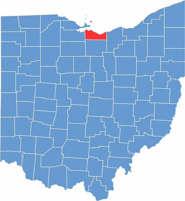

Erie County location map of Ohio
CategoryDetails
County NameErie County
County SeatSandusky
EtymologyNamed after Lake Erie, which borders the county and Erie Indians
Cities, Towns, and CommunitiesSandusky, Huron, Vermilion, Milan
Interstates and HighwaysU.S. Highway 6, U.S. Highway 20, State Route 2
FIPS Code39-043
Total Area252 square miles (land and water)
Adjacent CountiesLorain County (East), Huron County (South), Sandusky County (West), Ottawa County (Northwest)
Time ZoneEastern Time Zone
StateOhio
Coordinates41.4250° N, 82.6931° W
Major LandmarksCedar Point, Marblehead Lighthouse
PopulationApproximately 75,000
Scroll to Top