
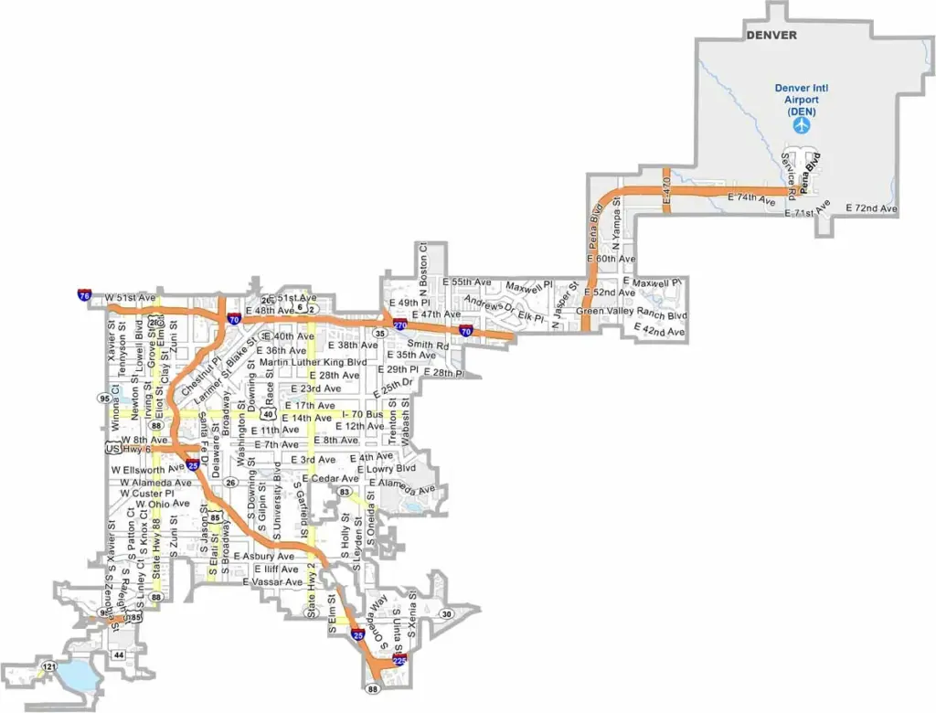
Denver County is essentially the city of Denver, Colorado’s capital and largest city. It sits in the heart of the Front Range urban corridor and continues to grow, with new developments and residents arriving regularly.
Denver is known for its craft beer scene, recreational cannabis, and passionate sports culture, with professional teams across major leagues. The city also offers impressive mountain views to the west and open plains to the east.
The county combines historic neighborhoods with modern developments. The South Platte River and Cherry Creek flow through the city, while numerous parks, bike trails, and outdoor spaces support an active lifestyle. Denver County is the second-most populous county in Colorado, after El Paso County.
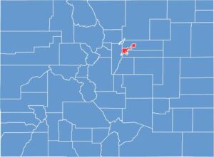
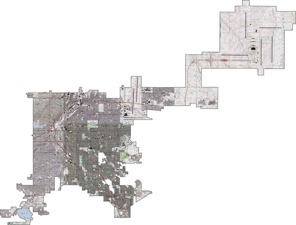
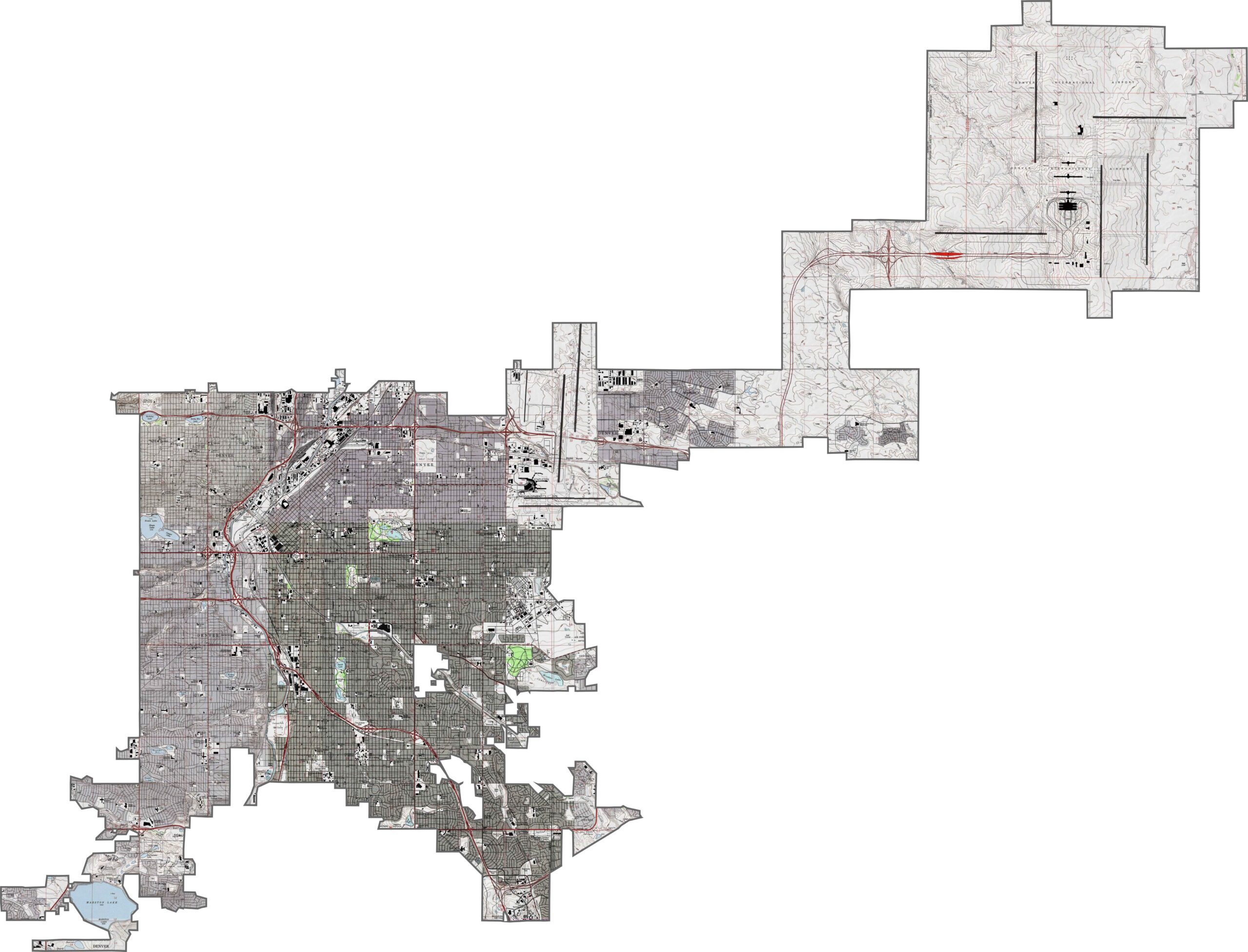
Denver City and County sits at the confluence of Cherry Creek and the South Platte River. The downtown area is mostly flat, with gentle rises toward the east and west. Our zoom tool lets you explore these subtle changes in elevation across the urban landscape.
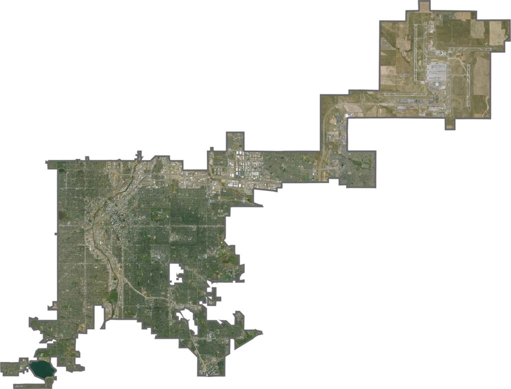
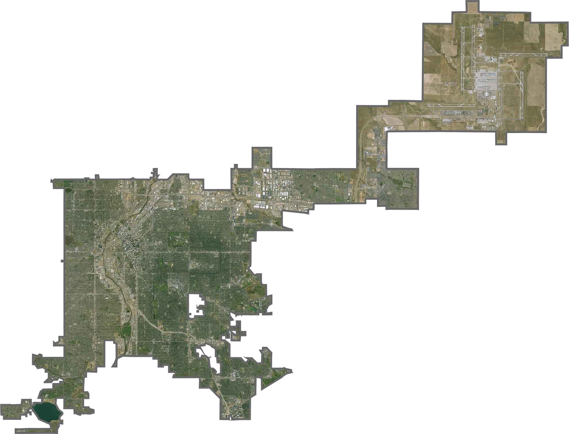
This satellite view highlights Denver’s distinctive street grid, with the South Platte River cutting diagonally through the city. The dense urban center contrasts with parks and green spaces scattered throughout the metropolitan landscape.
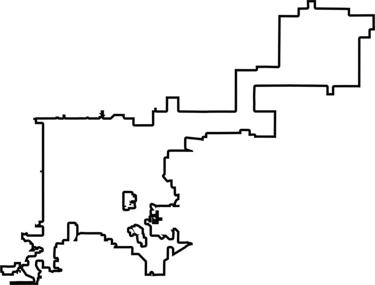
This blank map shows Denver City and County as a compact area completely surrounded by neighboring counties. Unlike many Colorado counties, it has no major natural boundaries and sits at the heart of the state’s Front Range metropolitan area.








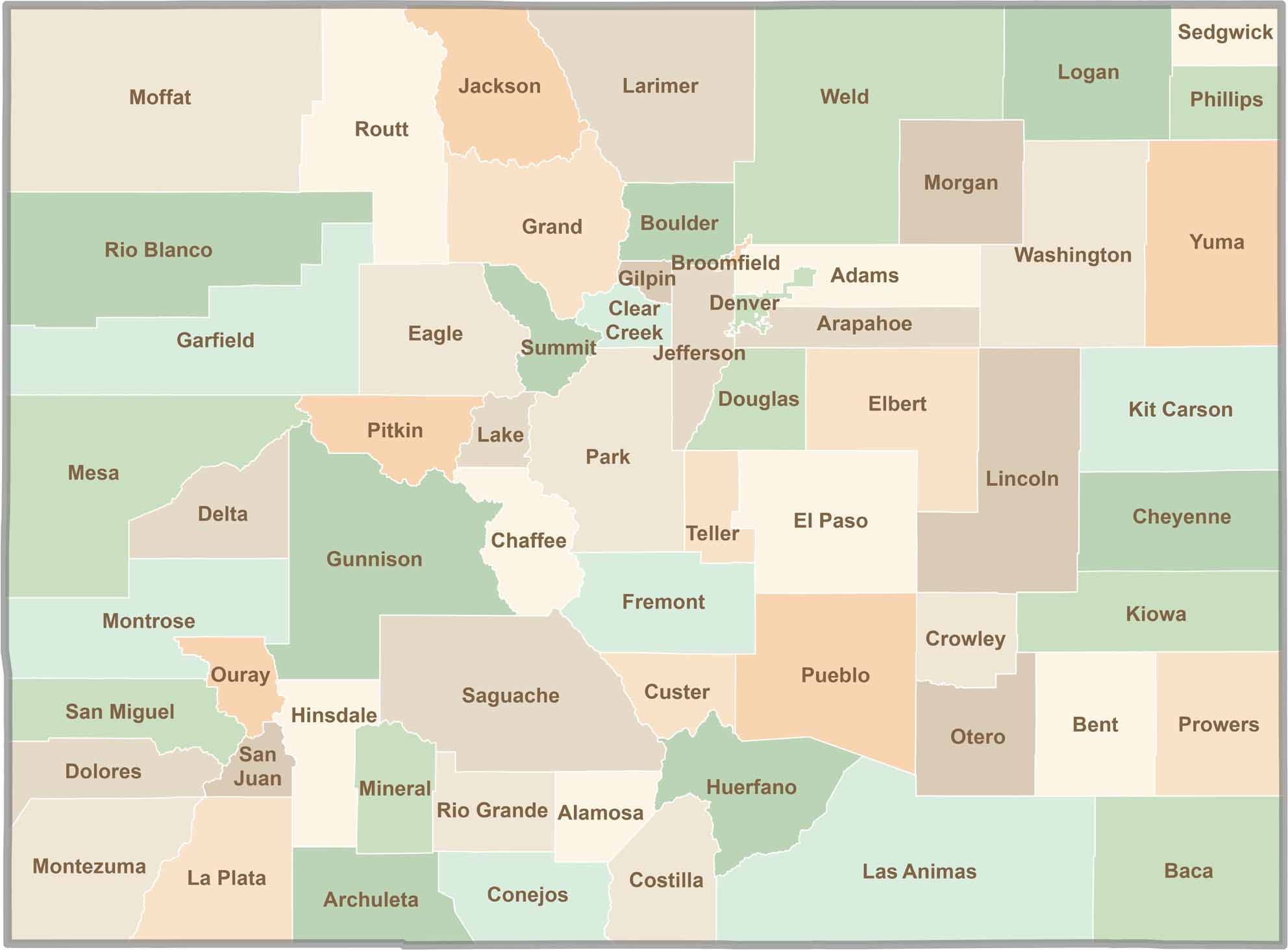
Think you know all 64 counties in Colorado? Our Colorado County Map brings them all together in one place, from the towering Rocky Mountains to the expansive eastern plains. Explore the Centennial State county by county and discover the diverse regions that make Colorado unique.