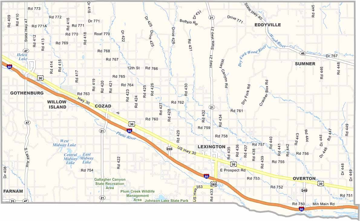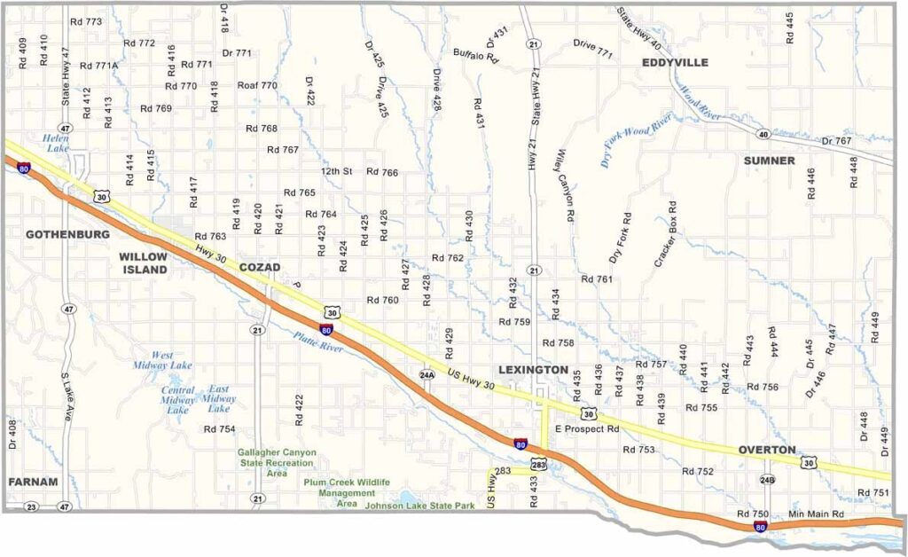
Dawson County Map, Nebraska

Dawson County, Nebraska

Dawson County is located in central Nebraska, right in the heart of the state. Lexington serves as the county seat and is home to a diverse population.

The Platte River runs through the middle of the county, creating a green ribbon across the prairie landscape. Agriculture is a major part of life here, with corn and cattle being the main players.

But there’s more to Dawson County than farming. The county has a rich history, from the days of the Oregon Trail to the railroad boom. Interstate 80 runs through the area as well. If you enjoy bird watching, be sure to check out the spring sandhill crane migration at one of the county’s wildlife areas.
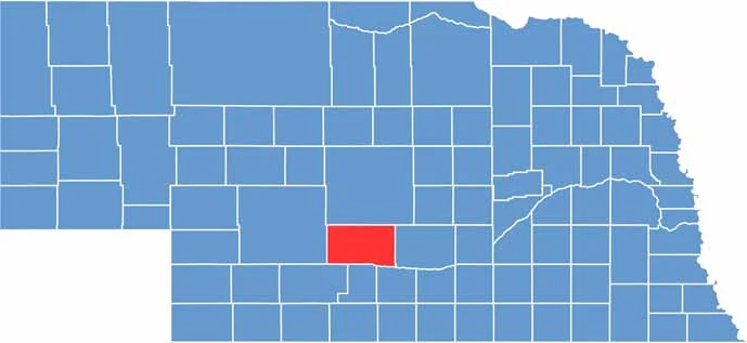

Dawson County location map of Nebraska
CategoryDetails
County NameDawson County
County SeatLexington
EtymologyNamed after Jacob Dawson, first postmaster for Lincoln
Cities, Towns, and CommunitiesLexington, Gothenburg, Cozad, Overton, Eddyville, Sumner
Interstates and HighwaysI-80, US 30, NE 21
FIPS Code31-047
Total Area (Land and Water)1,019 square miles (Land: 1,013 sq mi, Water: 6 sq mi)
Adjacent Counties (and Direction)Buffalo County (East), Phelps County (Southeast), Gosper County (South), Frontier County (Southwest), Lincoln County (West), Custer County (North)
Time ZoneCentral Time Zone (CT)
StateNebraska
Coordinates40.8689° N, 99.8200° W
Major LandmarksHeartland Museum of Military Vehicles, Johnson Lake, Gothenburg Pony Express Station
PopulationApproximately 23,800
Scroll to Top