
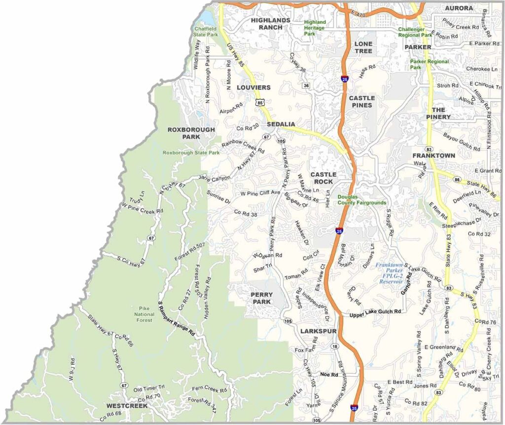
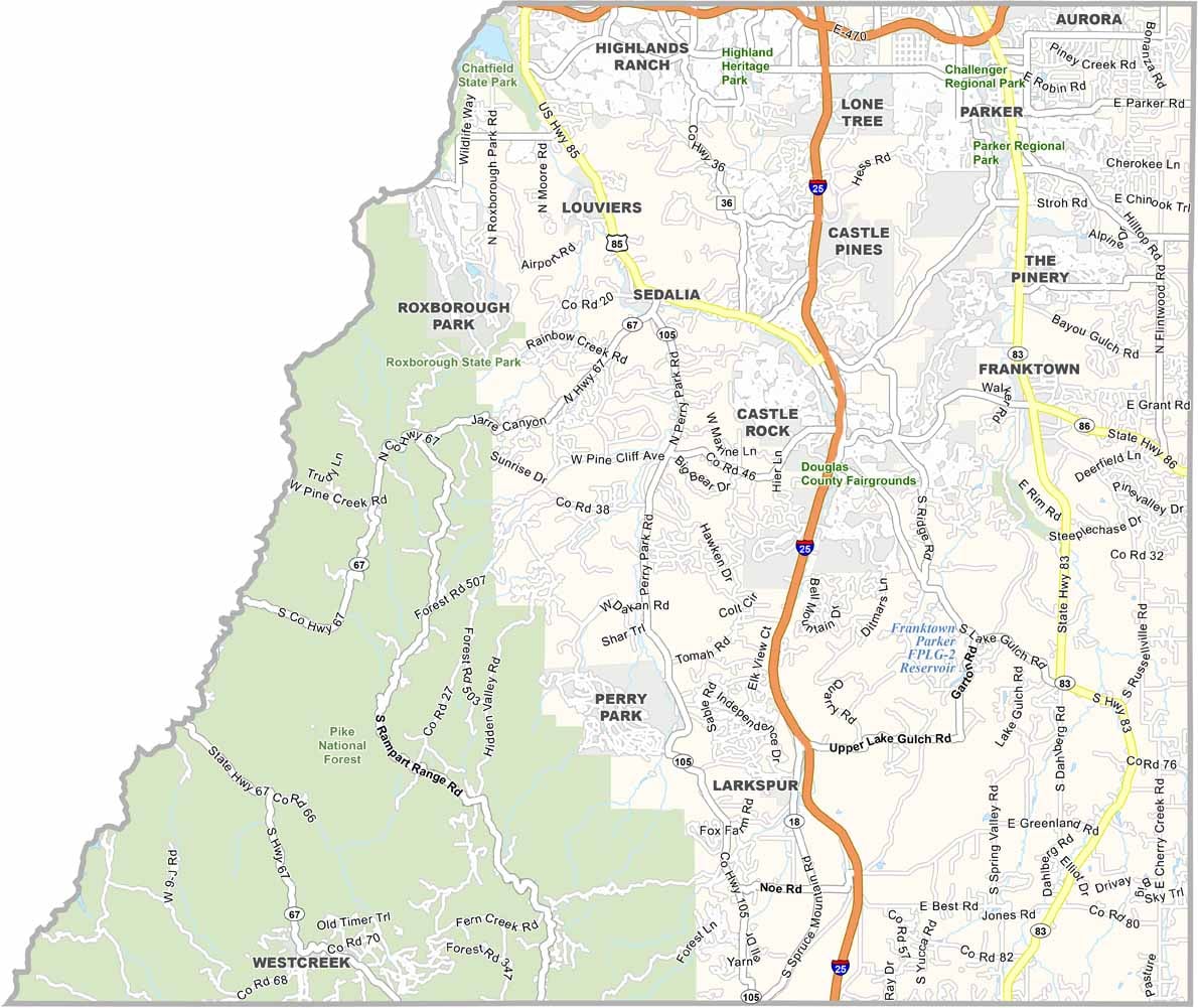
Douglas County is located between Denver and Colorado Springs in the heart of Colorado’s Front Range. Castle Rock serves as the county seat and has experienced rapid growth along with the surrounding region. The county is known for its high incomes and extensive residential development.
The eastern part of Douglas County remains more rural, with ranches, open spaces, and undeveloped land, while Pike National Forest covers portions of the western edge. The county reflects a mix of suburban growth and efforts to preserve its agricultural and Western heritage.
With a population of more than 375,000 people, Douglas County has grown significantly in recent decades. Heavy commuter traffic can be a challenge, but pockets of small-town character remain throughout the area. Roxborough State Park is another highlight, offering striking red-rock formations and impressive views of the surrounding mountains.
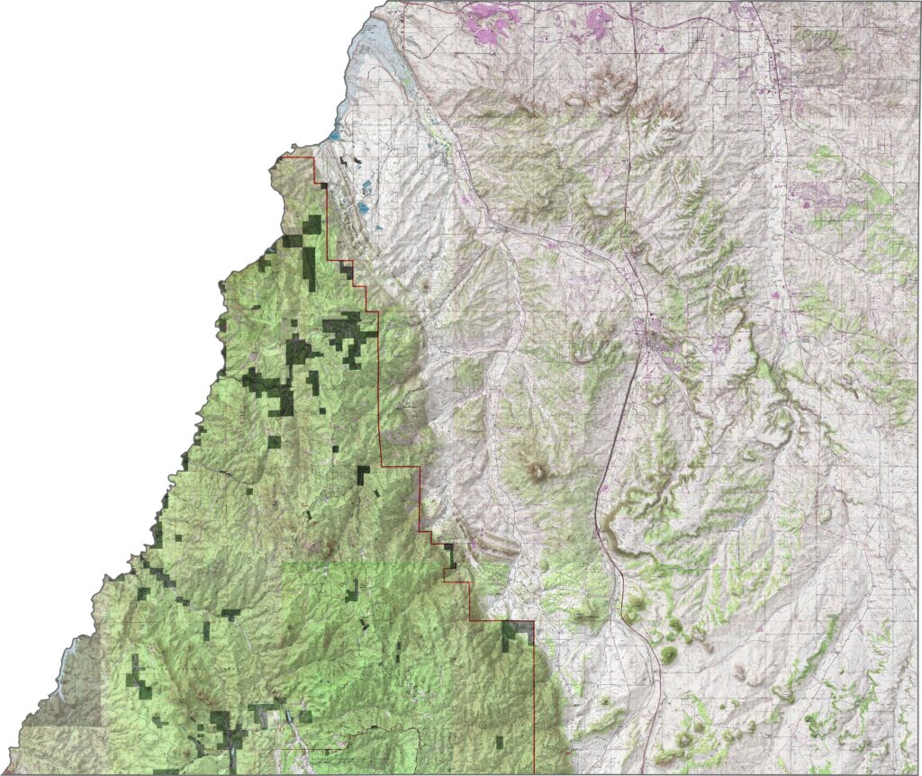
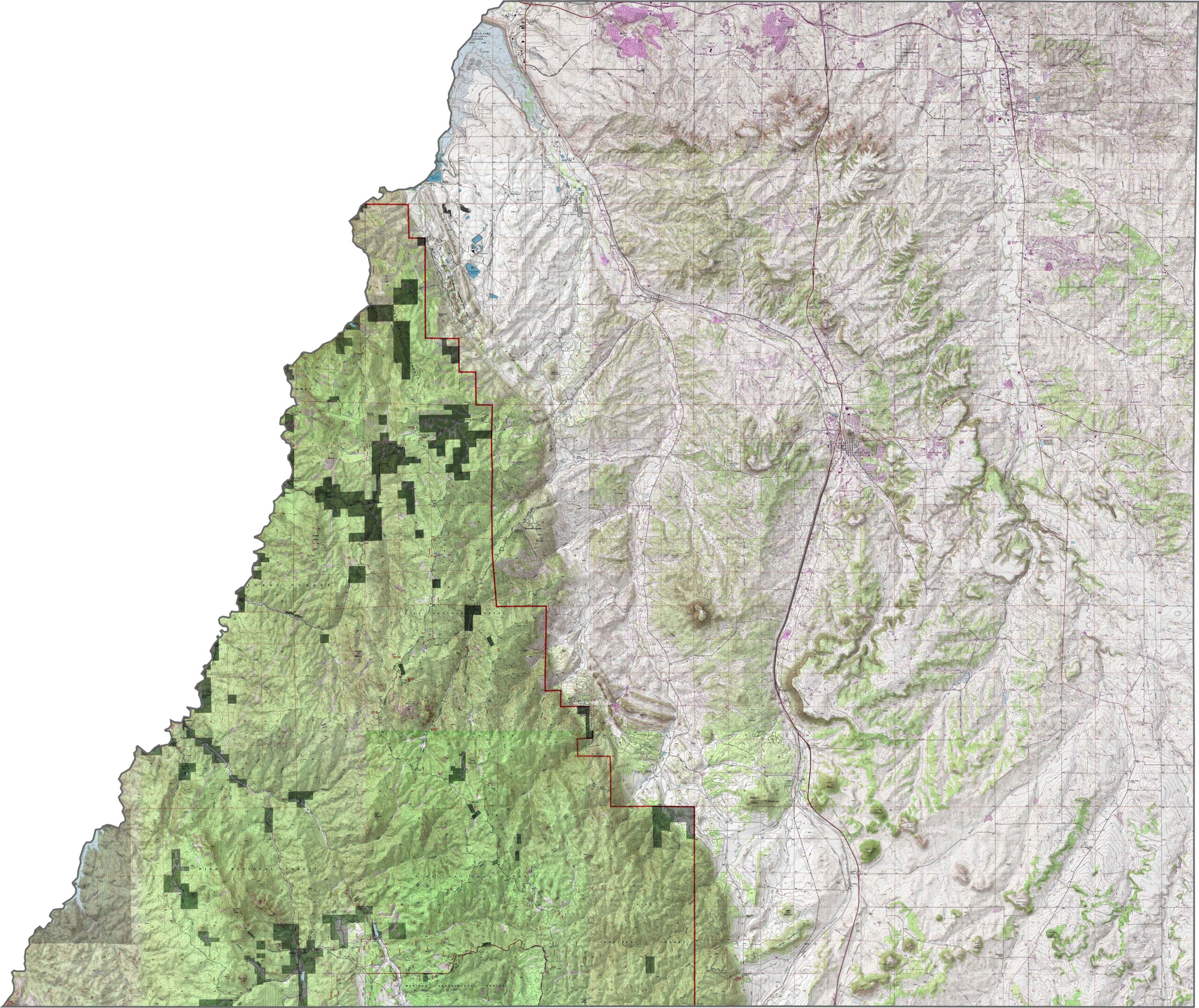
This topographic map highlights Douglas County’s position between the South Platte and Arkansas River watersheds, with prominent buttes, mesas, and the Palmer Divide creating a distinct east-west high point. Use our zoom tool to explore these unique geological features in greater detail.
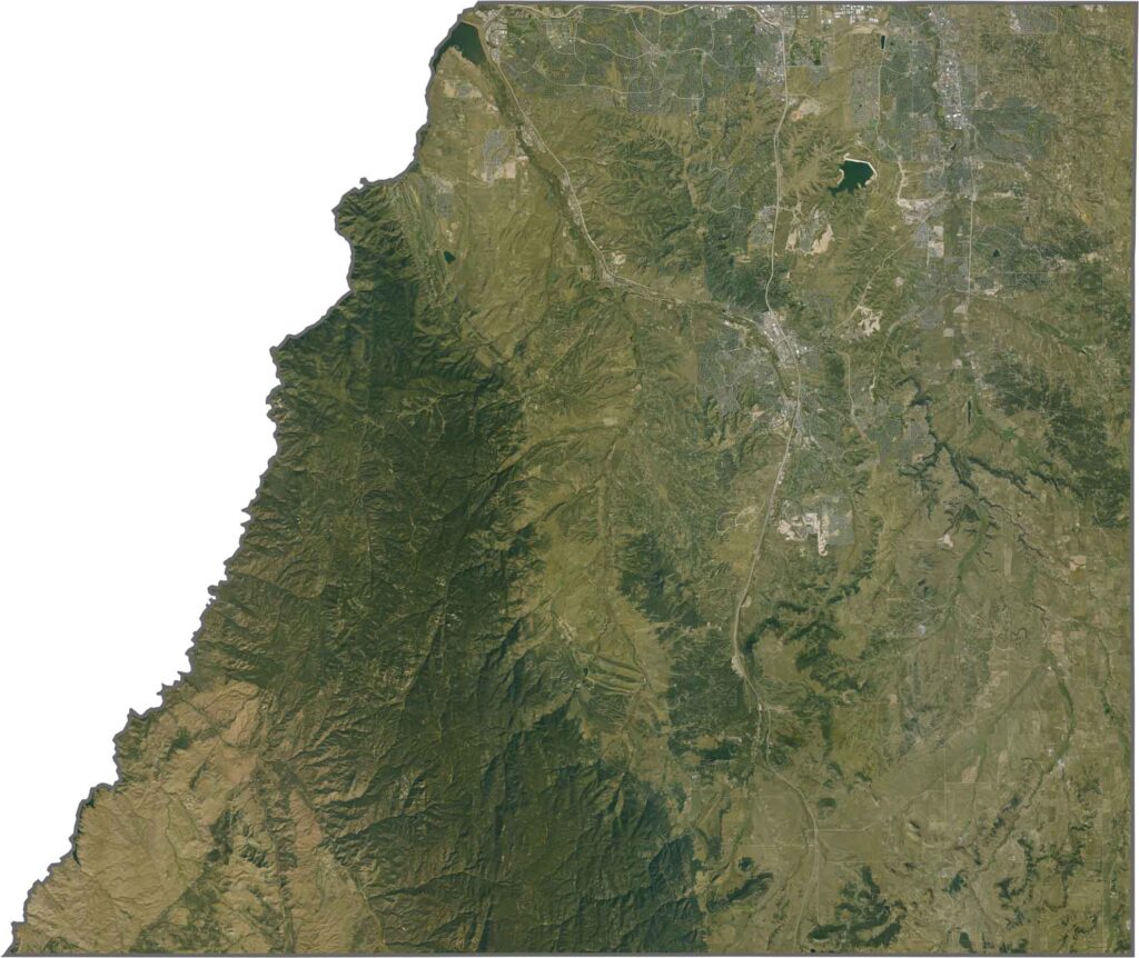
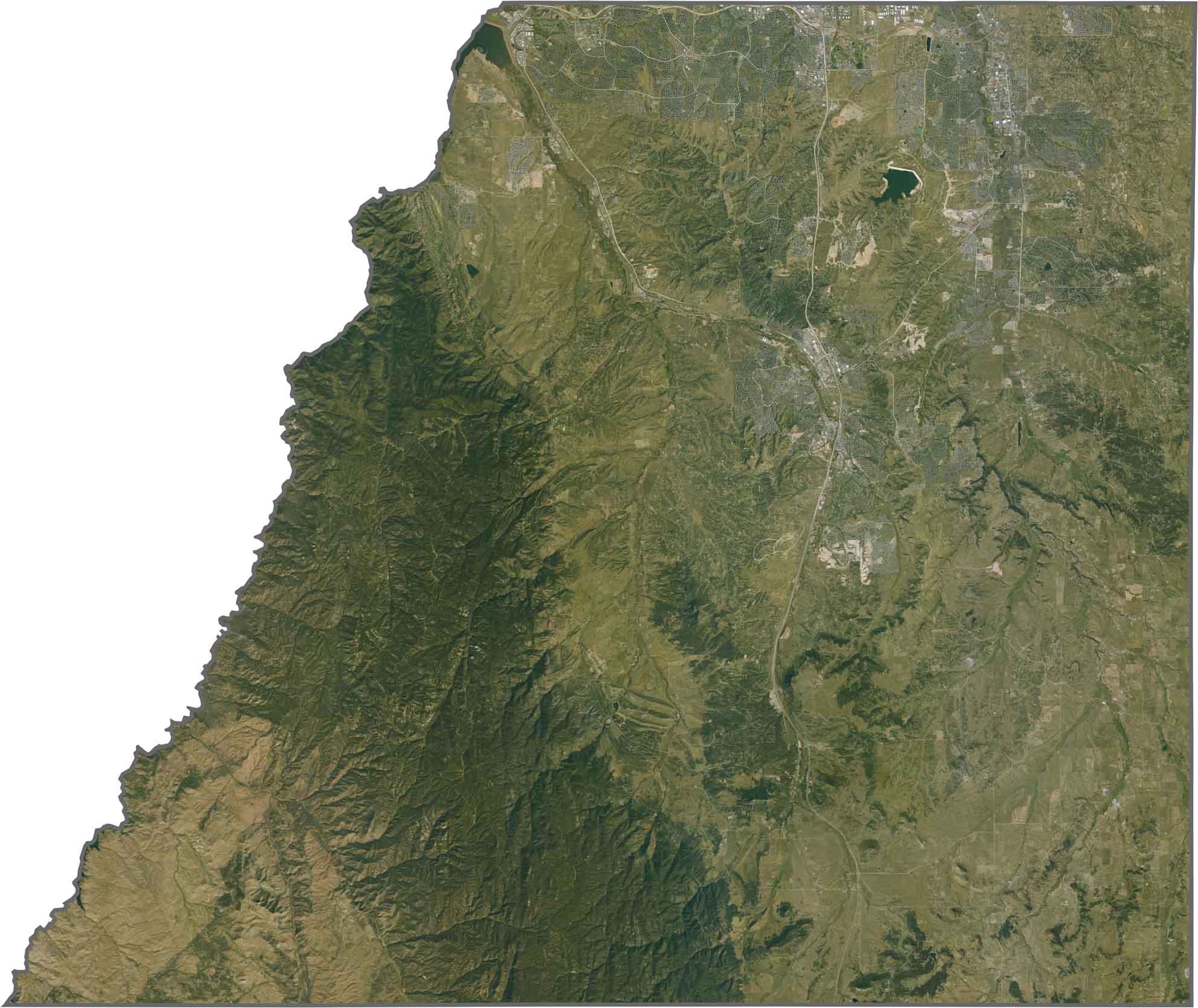
This satellite map shows forests covering much of the western portion of the county, while ranches and growing communities spread across the eastern areas. Cherry Creek and Chatfield Reservoirs stand out as prominent blue features within the landscape.
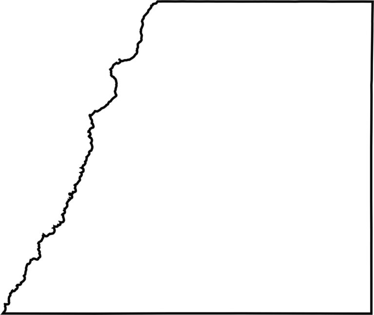
This blank map outlines Douglas County between Denver and Colorado Springs. The county has relatively straight boundaries along the east, while its western edge follows the contours of the Rocky Mountains, creating a more irregular shape.







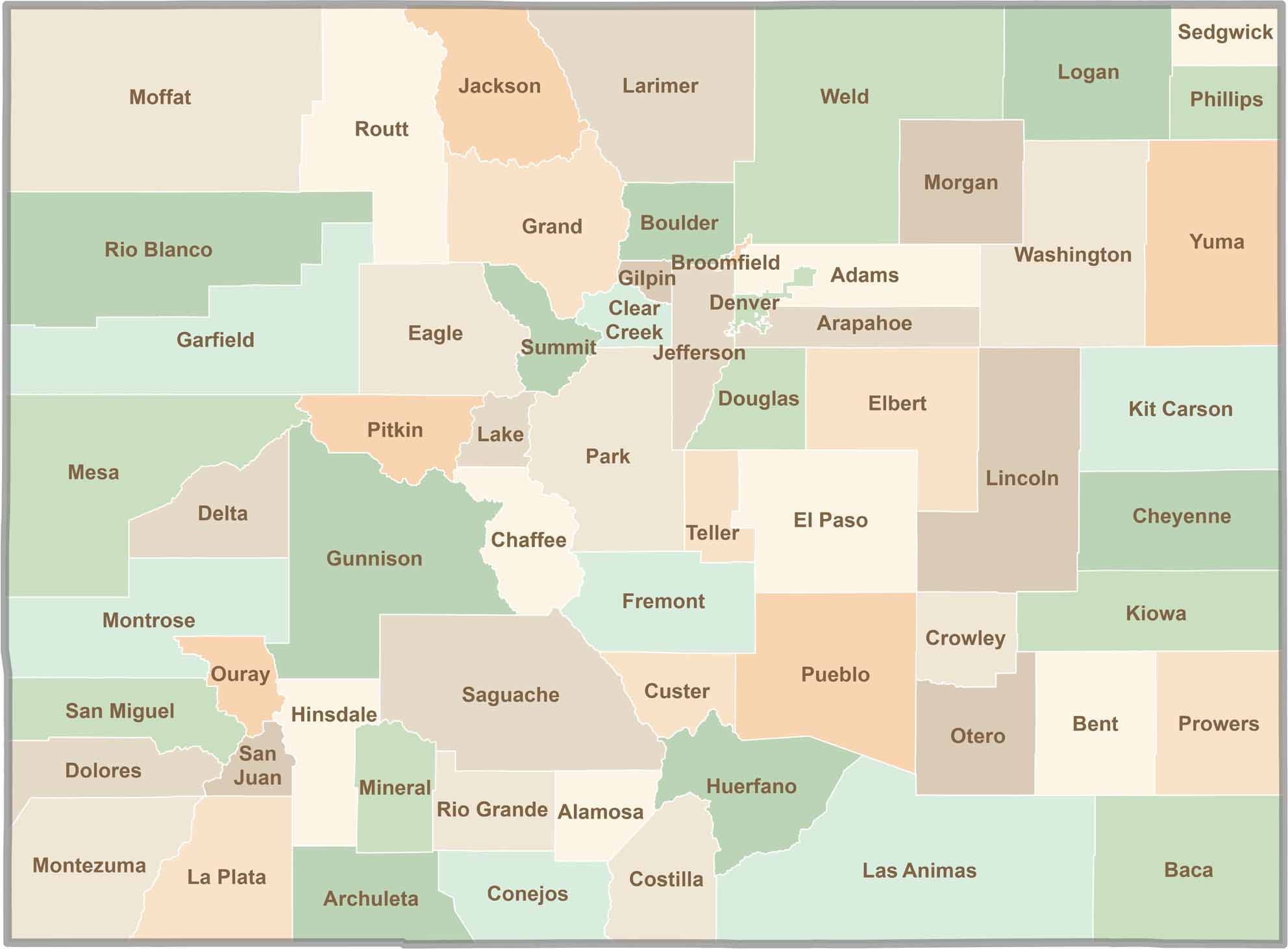
Think you know all 64 counties in Colorado? Our Colorado County Map brings them all together in one place, from the towering Rocky Mountains to the expansive eastern plains. Explore the Centennial State county by county and discover the diverse regions that make Colorado unique.