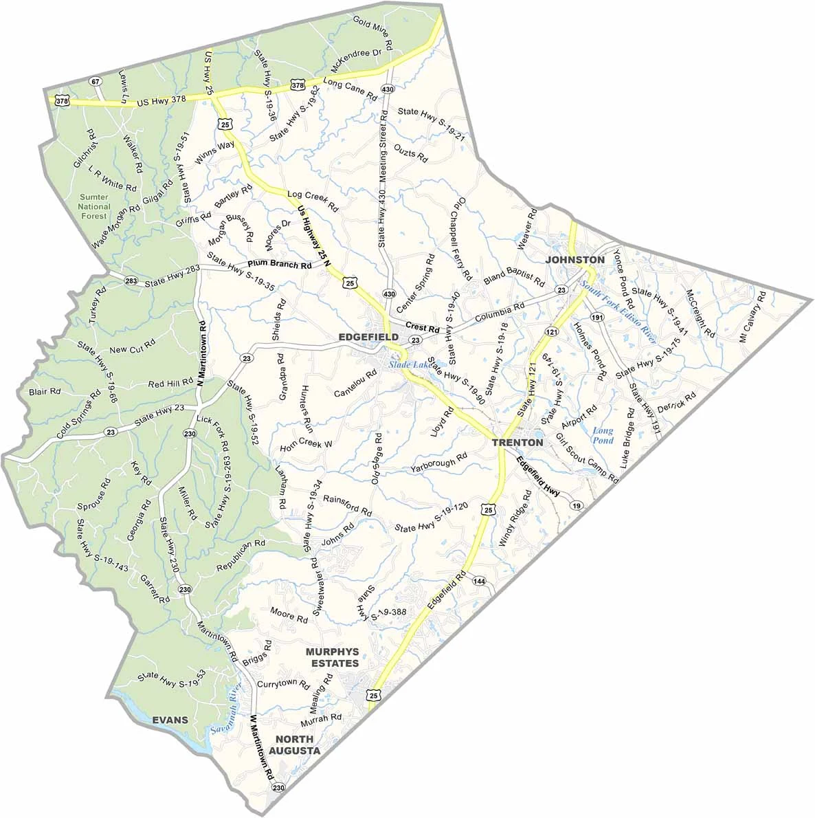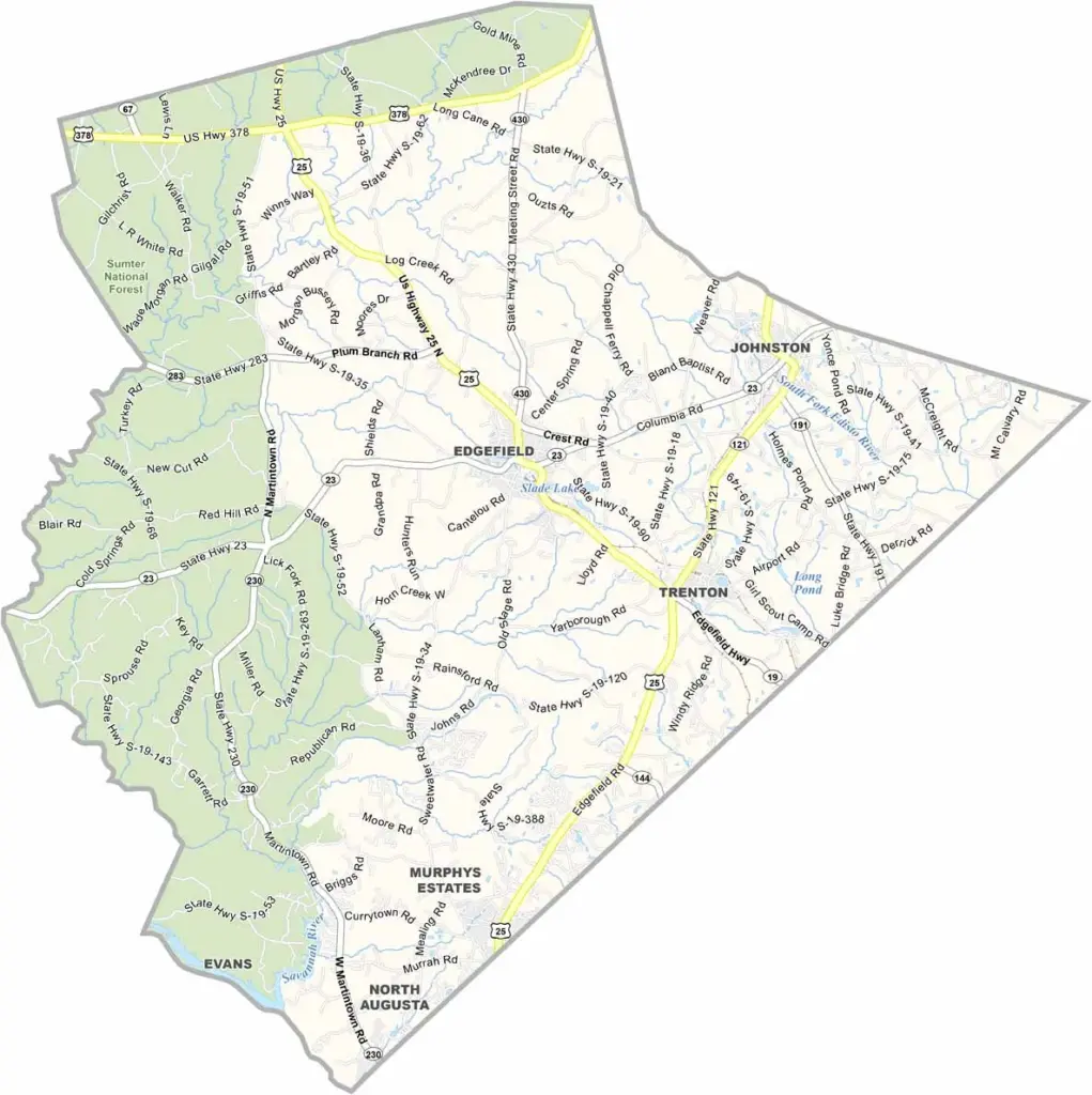
Edgefield County Map, South Carolina

Edgefield County, South Carolina

Edgefield County sits in western South Carolina, right on the Georgia border. The area has a wild history and is known as the Home of Ten Governors. Yes, ten South Carolina governors came from here.

The town of Edgefield is like stepping back in time, with old buildings, antique shops, and the whole nine yards. It is also the county seat. These days, though, the county is big on agriculture too.

Peaches are a big deal here, and so are turkeys, believe it or not. The county has a cool museum dedicated to wild turkeys, and it is the only museum in the world dedicated to wild turkey restoration.
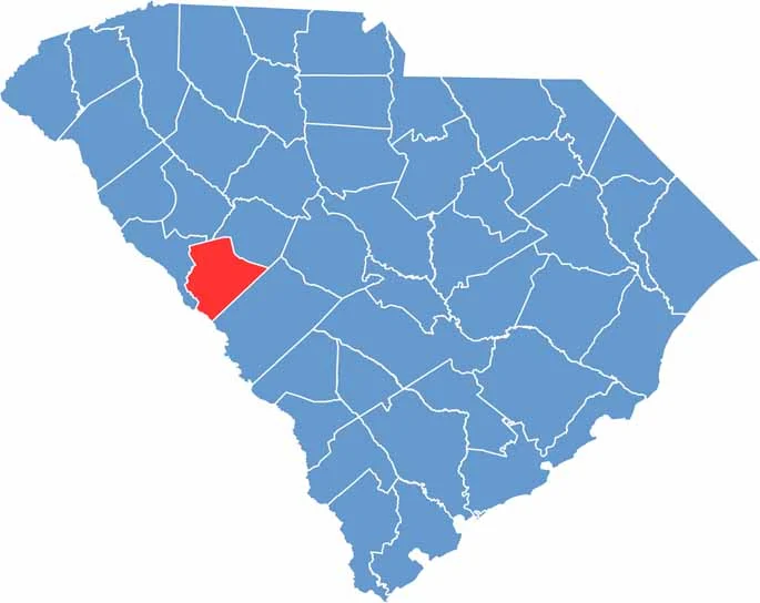

Location map of Edgefield County, South Carolina
CategoryDetails
County NameEdgefield County
County SeatEdgefield
EtymologyNamed after its geographical location on the “edge” of South Carolina
Cities, Towns, and CommunitiesEdgefield, Johnston, Trenton
Interstates and HighwaysU.S. Highway 25, U.S. Highway 378
FIPS Code45-037
Total Area (Land and Water)507 square miles (500 sq mi land, 7 sq mi water)
Adjacent Counties (and Direction)Saluda County (Northeast), Aiken County (East), Richmond County, Georgia (Southwest), Columbia County, Georgia (Southwest), McCormick County (West), Greenwood County (Northwest)
Time ZoneEastern Time Zone (EST)
StateSouth Carolina
Coordinates33°47’N, 81°56’W
Major LandmarksEdgefield Historic District, Carolina Moon Distillery, National Wild Turkey Federation
PopulationApproximately 28,000
Scroll to Top