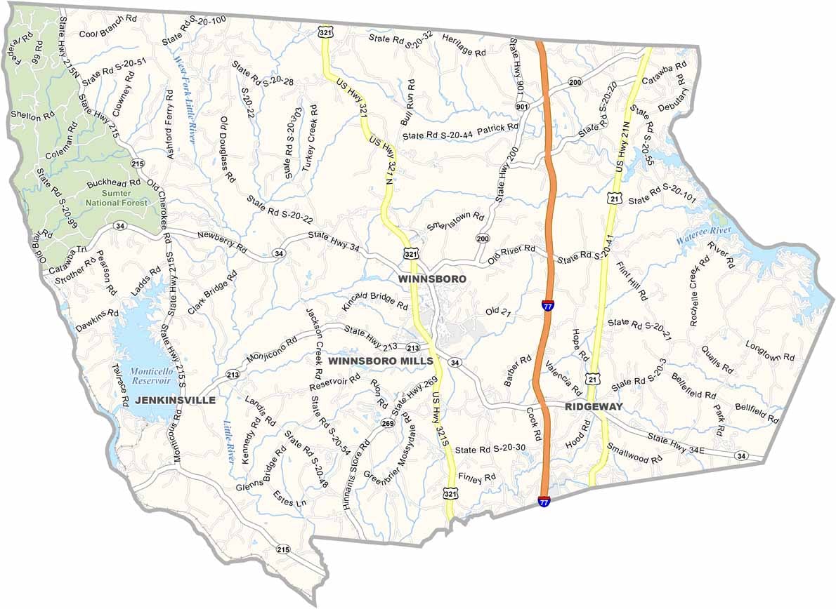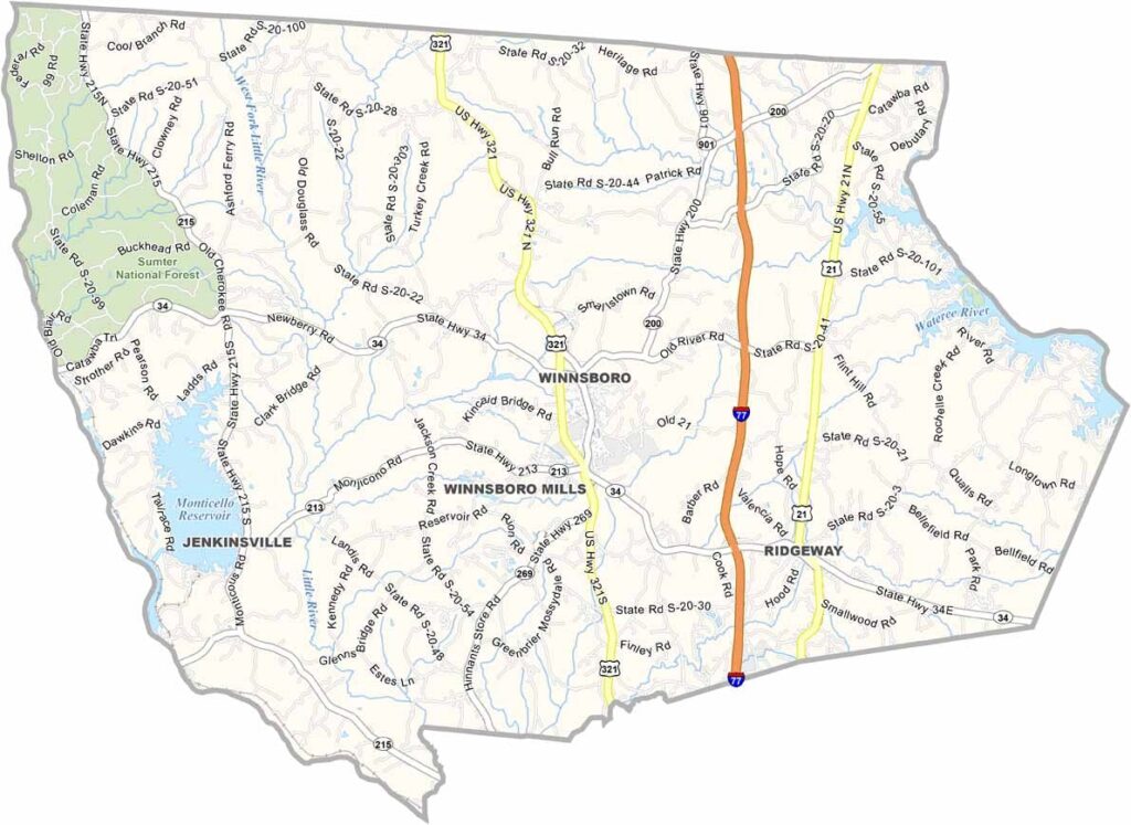
Fairfield County Map, South Carolina

Fairfield County, South Carolina

Fairfield County is in central South Carolina, a place with a complicated past and an uncertain future. It is rural, with rolling hills and dense forests.

Lake Wateree is the big draw for tourists, with great fishing and boating. It forms the eastern border. Winnsboro, the county seat, has some beautiful old buildings, like its clock tower.

You will find some of the friendliest folks around in these parts. The area has deep roots, and some families have been here for generations. The county is all about its love of history and scenic landscapes in the heart of the state.
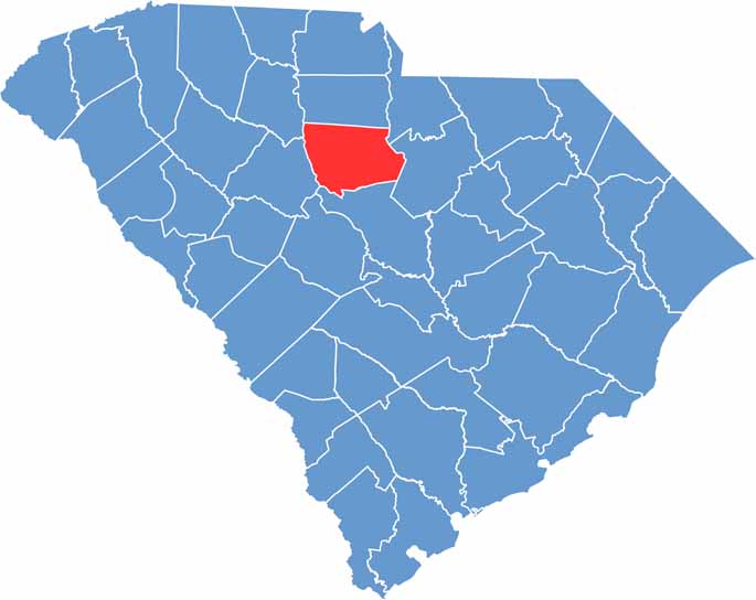

Location map of Fairfield County, South Carolina
CategoryDetails
County NameFairfield County
County SeatWinnsboro
EtymologyNamed for its “fair fields” or beautiful landscapes
Cities, Towns, and CommunitiesWinnsboro, Ridgeway, Jenkinsville
Interstates and HighwaysInterstate 77, U.S. Highway 21, State Highway 34
FIPS Code45-039
Total Area (Land and Water)710 square miles (687 sq mi land, 23 sq mi water)
Adjacent Counties (and Direction)Chester County (North), Lancaster County (Northeast), Kershaw County (East), Richland County (South), Newberry County (Southwest), Union County (Northwest)
Time ZoneEastern Time Zone (EST)
StateSouth Carolina
Coordinates34°23’N, 81°06’W
Major LandmarksLake Wateree, Fairfield County Courthouse, Carolina Adventure World
PopulationApproximately 21,000
Scroll to Top