Elmore County Map Download Alabama – Outline Map and Blank Map

Elmore County Map Download Alabama – Outline Map and Blank Map

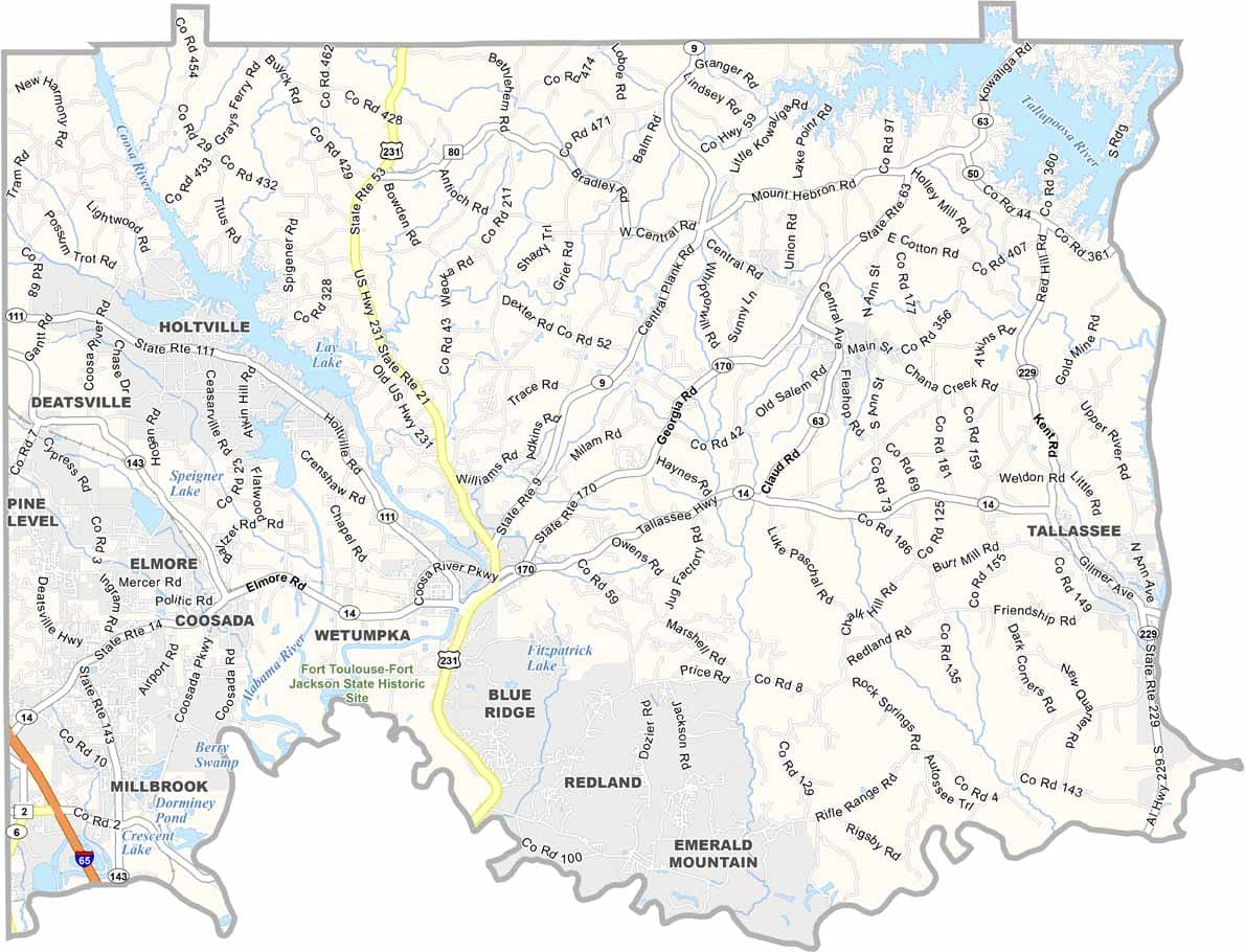
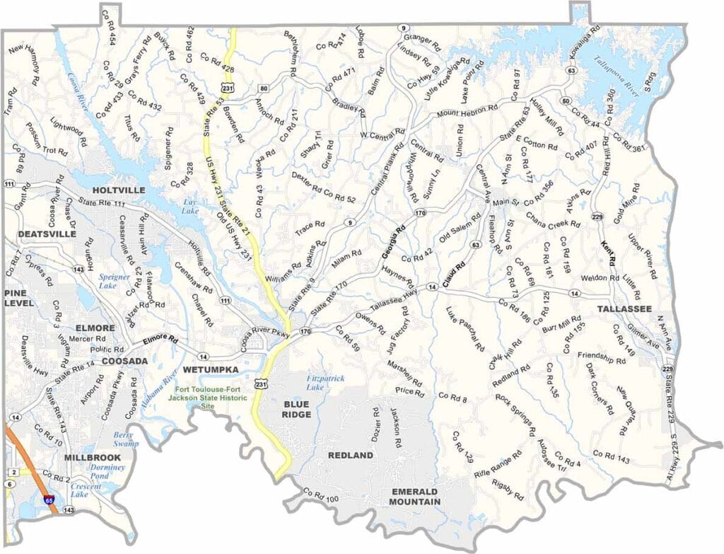
Elmore County maps showing boundaries and locations in Alabama.

Elmore County, Alabama

Elmore County is located just north of Montgomery and is one of the fastest-growing areas in Alabama. Wetumpka serves as the county seat and is known for its ancient meteor crater. The county has a population of around 90,000.

U.S. Highway 231 provides convenient access throughout the area. Fort Toulouse-Fort Jackson Park is a popular destination, hosting a variety of events year-round, including monthly living history programs.

Lake Martin borders the eastern side of the county, while the Coosa and Tallapoosa Rivers converge here to form the Alabama River. With its mix of waterways, outdoor recreation, and historical sites, Elmore County offers a little something for everyone—just keep an eye out for the occasional alligator along the water’s edge.
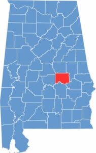

Elmore County location map showing its position in Alabama.
Category Details
County Name Elmore County
County Seat Wetumpka
Cities, Towns, and Communities Wetumpka, Millbrook, Tallassee, Eclectic, Elmore, Coosada, Deatsville, Holtville, Redland, Kent
Interstates and Highways Interstate 65, U.S. Highway 231, State Route 14, State Route 143, State Route 170
Etymology Named after General John Archer Elmore, a veteran of the American Revolutionary War
FIPS Code 01-051
Total Area (Land and Water) 511 square miles (Land: 464 sq mi, Water: 47 sq mi)
Time Zone Central Time Zone (CT)
State Alabama
Coordinates 32.5921° N, 86.2416° W
Major Landmarks Wetumpka Crater, Fort Toulouse-Fort Jackson Park, Lake Martin (partly in Elmore County), Jordan Lake, Wetumpka Impact Crater, Jasmine Hill Gardens
Adjacent Counties (and Direction) Coosa County (North), Tallapoosa County (Northeast), Macon County (Southeast), Montgomery County (South), Autauga County (West), Chilton County (Northwest)
Population Approximately 99,000
Scroll to Top