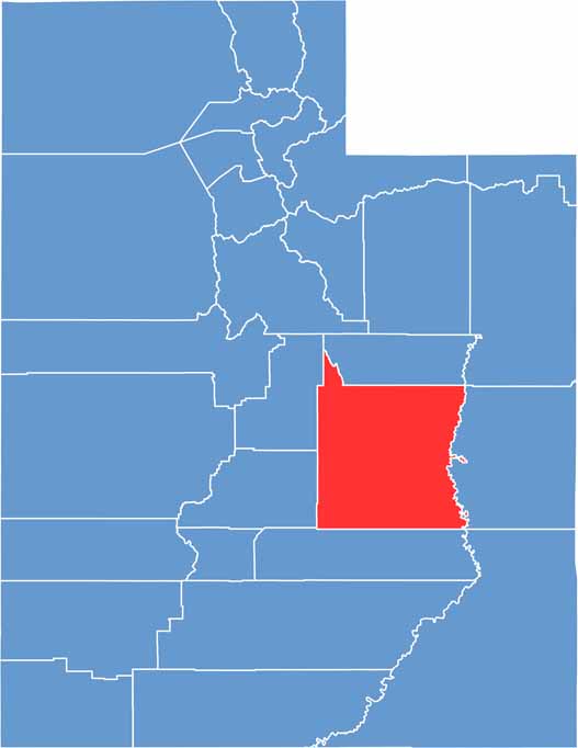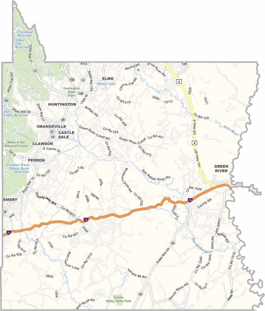
Emery County lies in east-central Utah and is a classic part of the state’s canyon country. The landscape is filled with mesas, rugged cliffs, and secluded gorges, while small rural communities are scattered across the wide-open terrain.
Coal mining played a major role in shaping Emery County’s past, but outdoor recreation now draws many visitors. The San Rafael Swell is one of the area’s standout attractions, featuring dramatic rock formations, slot canyons, and towering buttes.
The county is also home to ancient rock art and the otherworldly Goblin Valley State Park. The Green River flows through the eastern part of the county, adding to its scenic appeal. With its peaceful atmosphere and remote landscapes, Emery County is a perfect place to escape the crowds and reconnect with nature.