
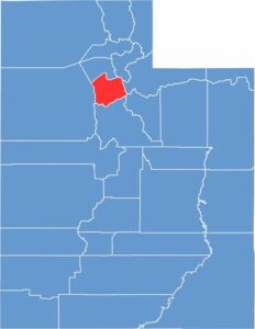
Salt Lake County is the beating heart of Utah, sitting in the middle of the state’s northern half. This place has a little bit of everything—city life, mountain views, and a salty lake to boot.
The Wasatch Range looms to the east, offering a playground for hikers and skiers. Salt Lake City is the star of the show, but the surrounding suburbs have plenty of their own character. Then there’s the Great Salt Lake, where the super-salty water lets you float like a cork.
The cultural scene is top-notch, from the Mormon Tabernacle Choir to indie rock clubs, so there’s always something going on. Tech is booming here, and the food scene has plenty to offer, from funeral potatoes to world-class sushi. With over a million people, Salt Lake County is Utah’s most populous county by far.
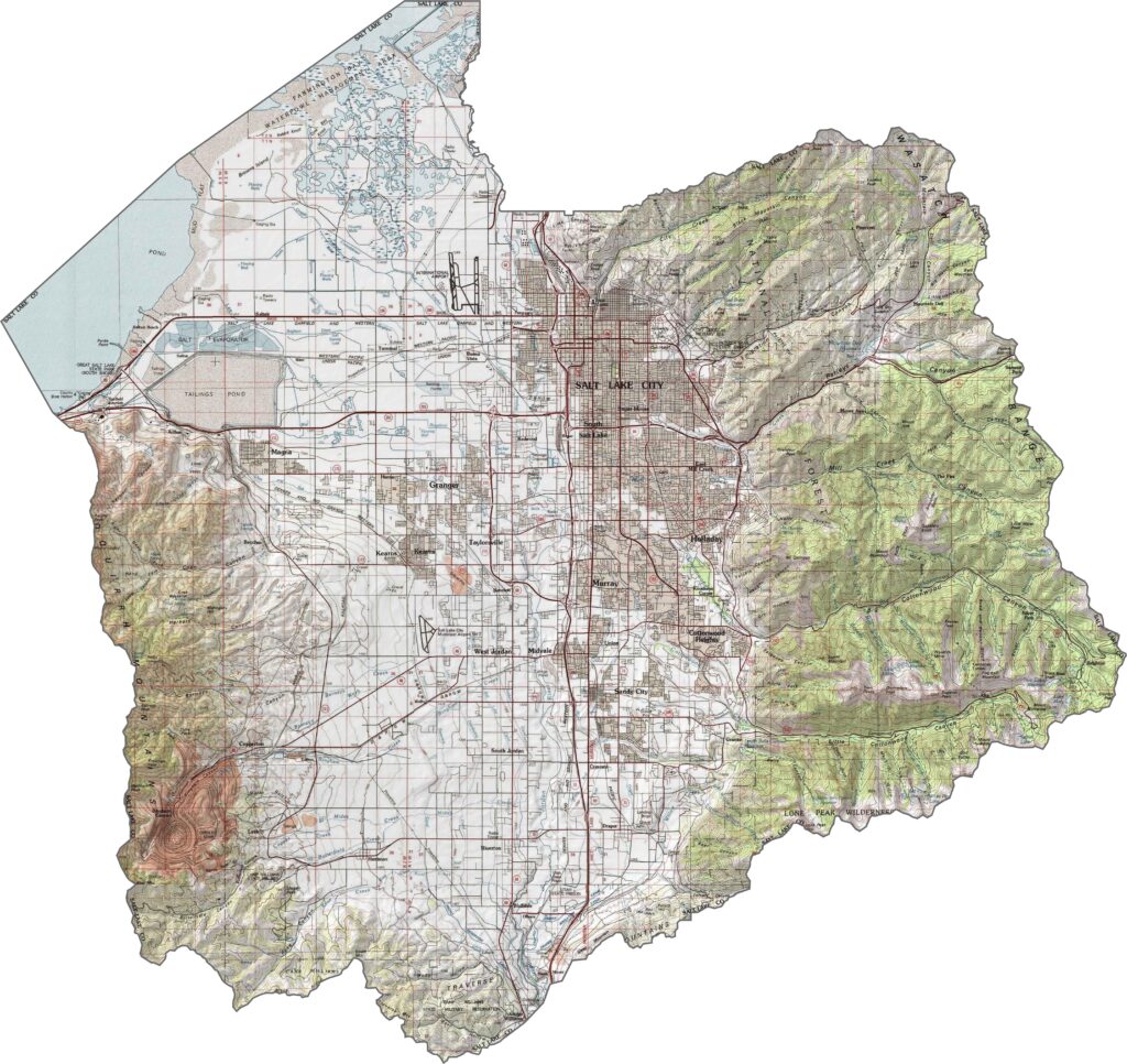
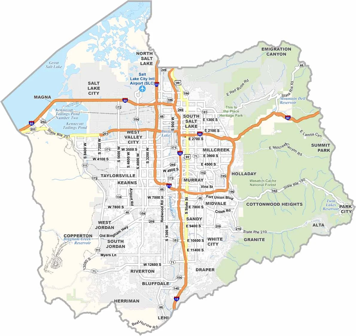
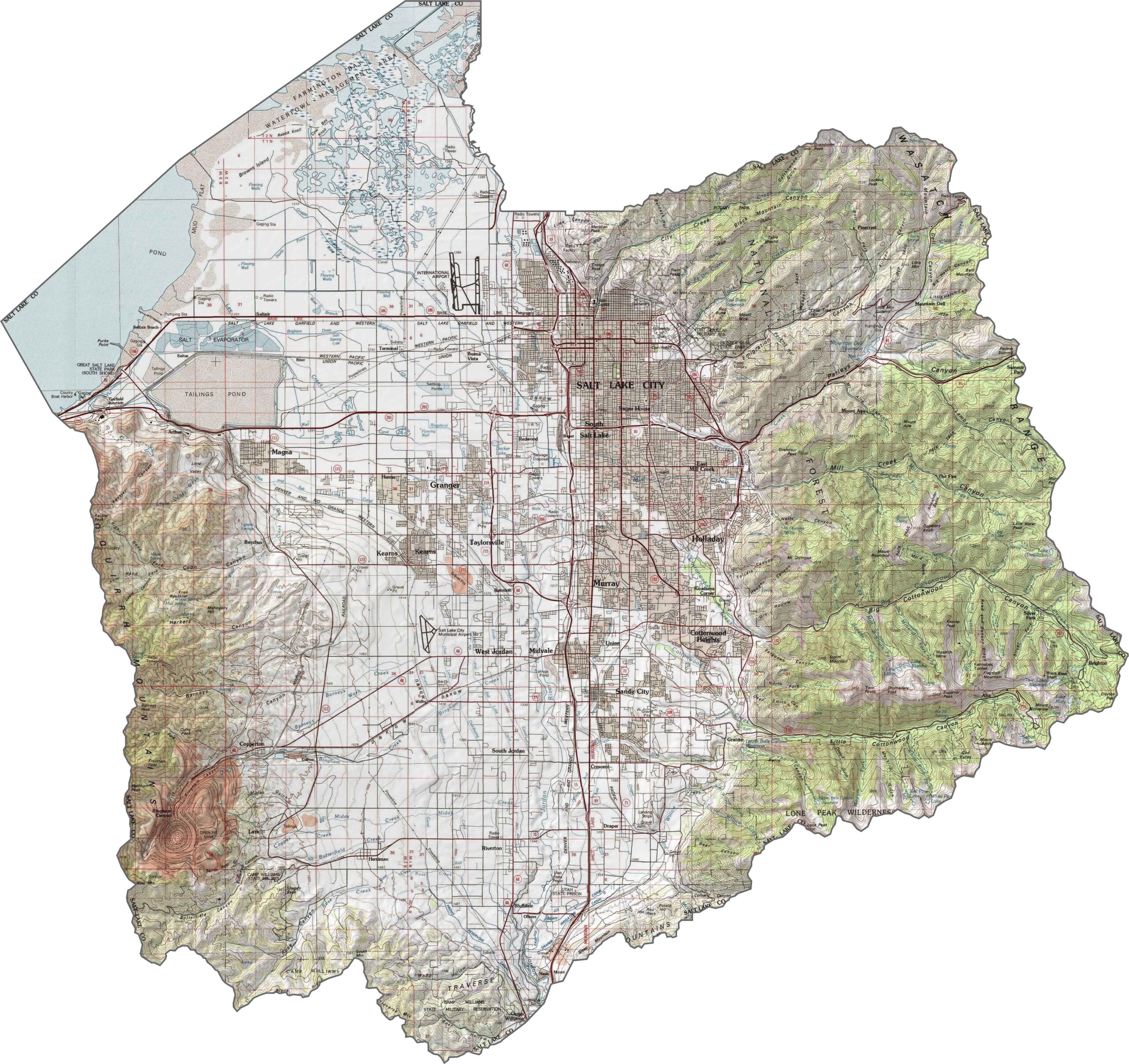
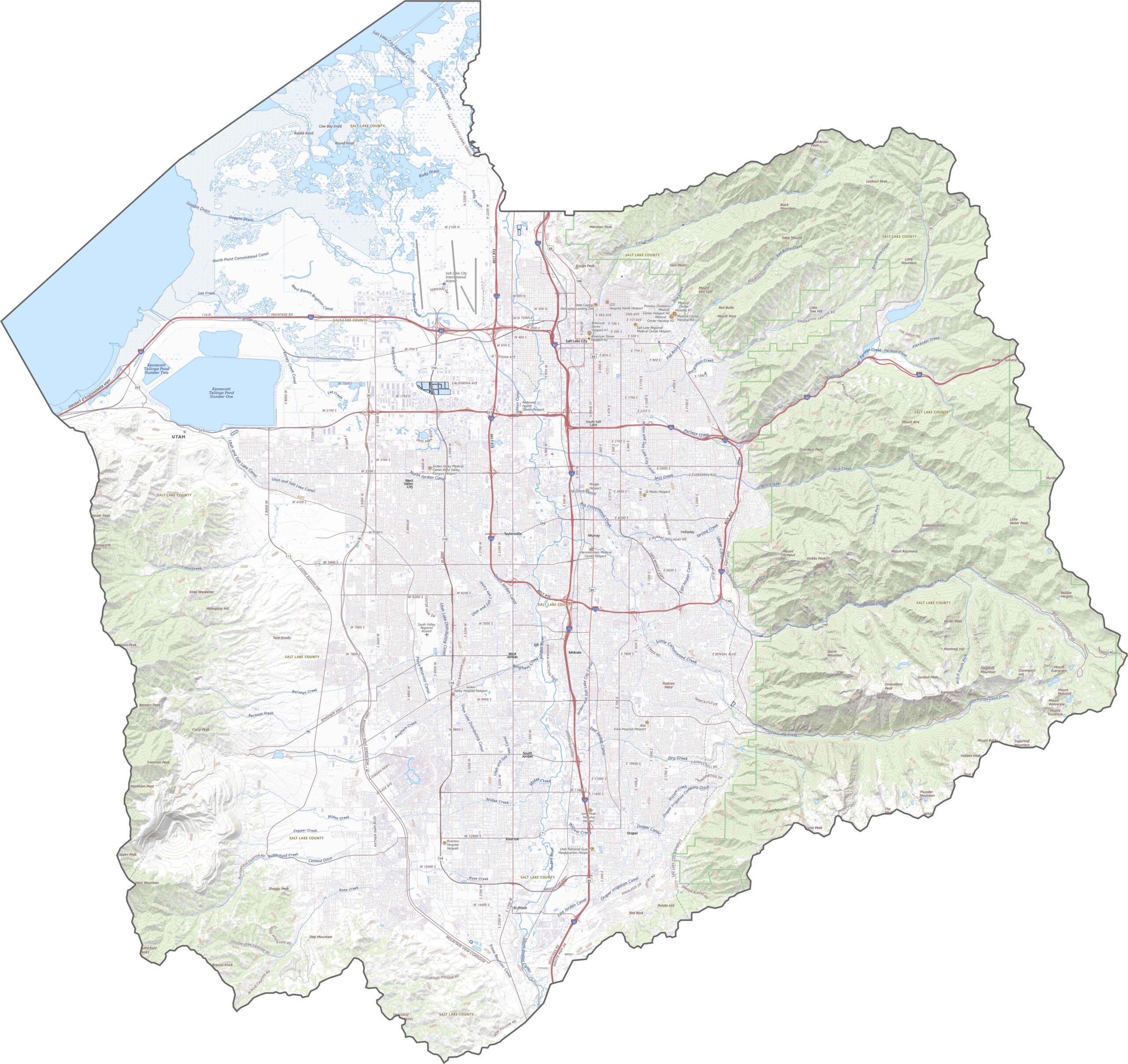
Salt Lake County is caught between steep mountains and a salty, shrinking lake. The Wasatch Range towers over the eastern side, while the Oquirrh Mountains rise along the west. In between sits the Salt Lake Valley, which is flat, urbanized, and heavily developed. Even here, elevation still matters, with some city streets climbing noticeably uphill.
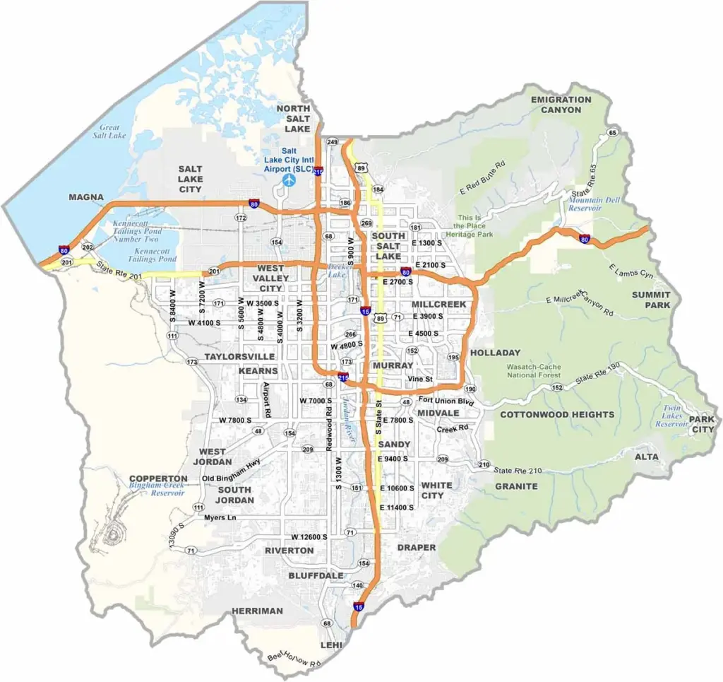
This is one of Utah’s busiest highway hubs. I-15 runs down the center and is often packed, while I-80 cuts across the county from east to west. I-215 loops around the metro area, but despite all that pavement, some roads still offer impressive mountain views. Our zoom tool below makes it easy to follow every on-ramp and shortcut.
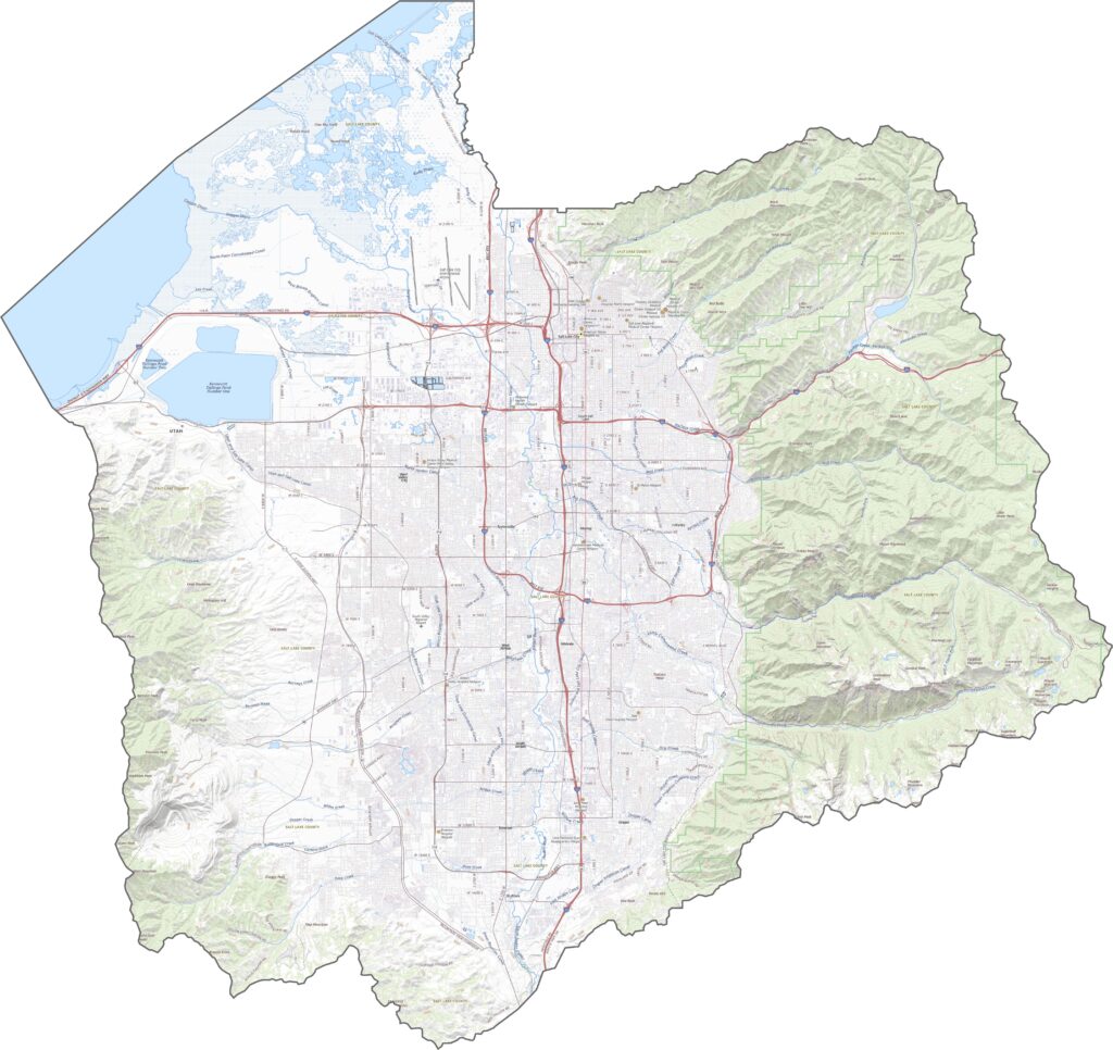
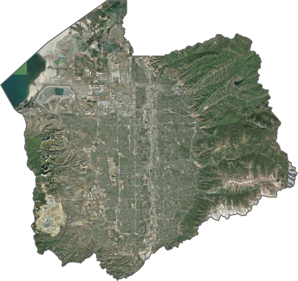
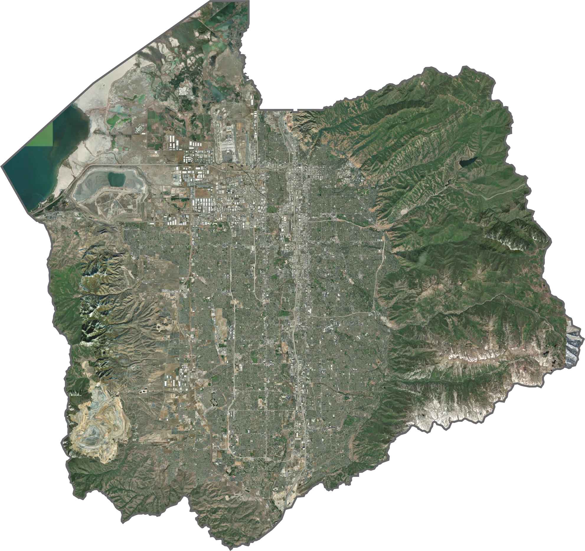
From above, Salt Lake County looks like a gray and green grid framed by mountains. The city and suburbs spread across the valley with barely a break, while the Wasatch Range looms large with dense forests and sharply defined ridges. The Great Salt Lake appears to the northwest, with its shoreline looking faded and shallow.
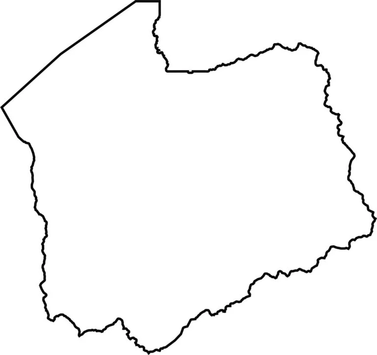
The county has a rough square shape with one relatively straight edge. Its northwest edge touches the Great Salt Lake. Salt Lake County is completely surrounded by Utah and does not border another state.
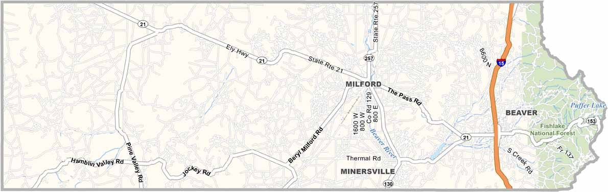
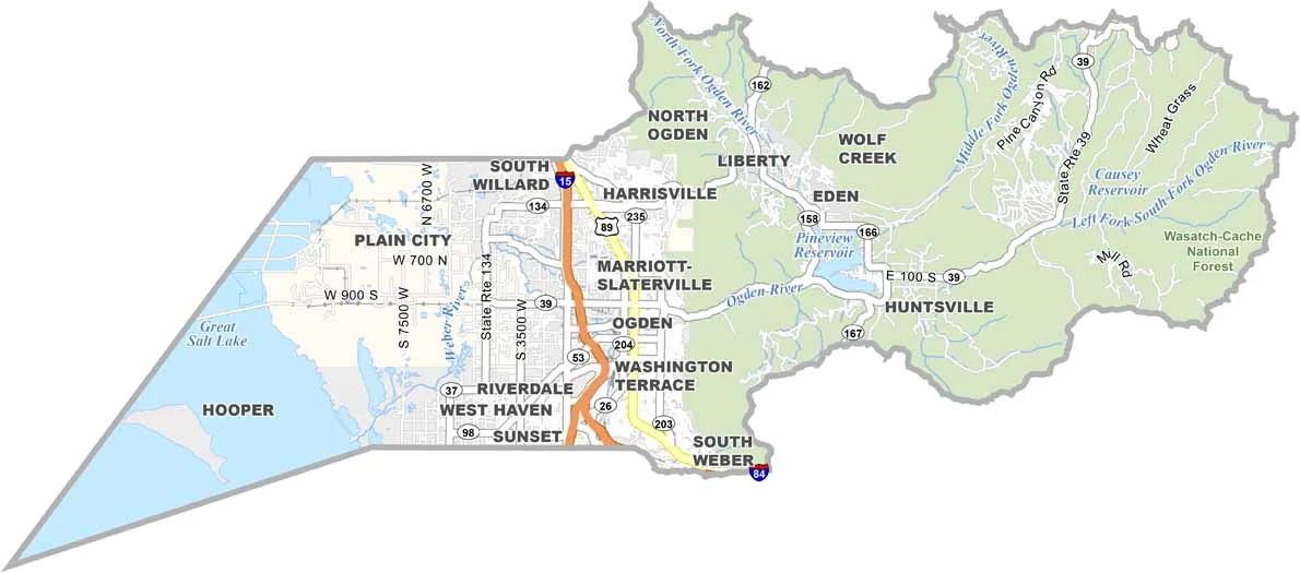


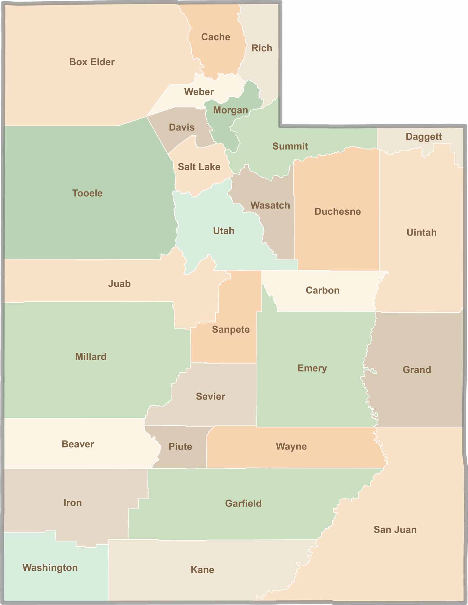
Utah’s 29 counties each have their own unique character and landscape. One is known for its stunning red rock formations, while another rises beneath snow-covered mountain peaks. From vast lava fields and salt flats to deep canyons, every county has a distinct landscape and a story of its own.