
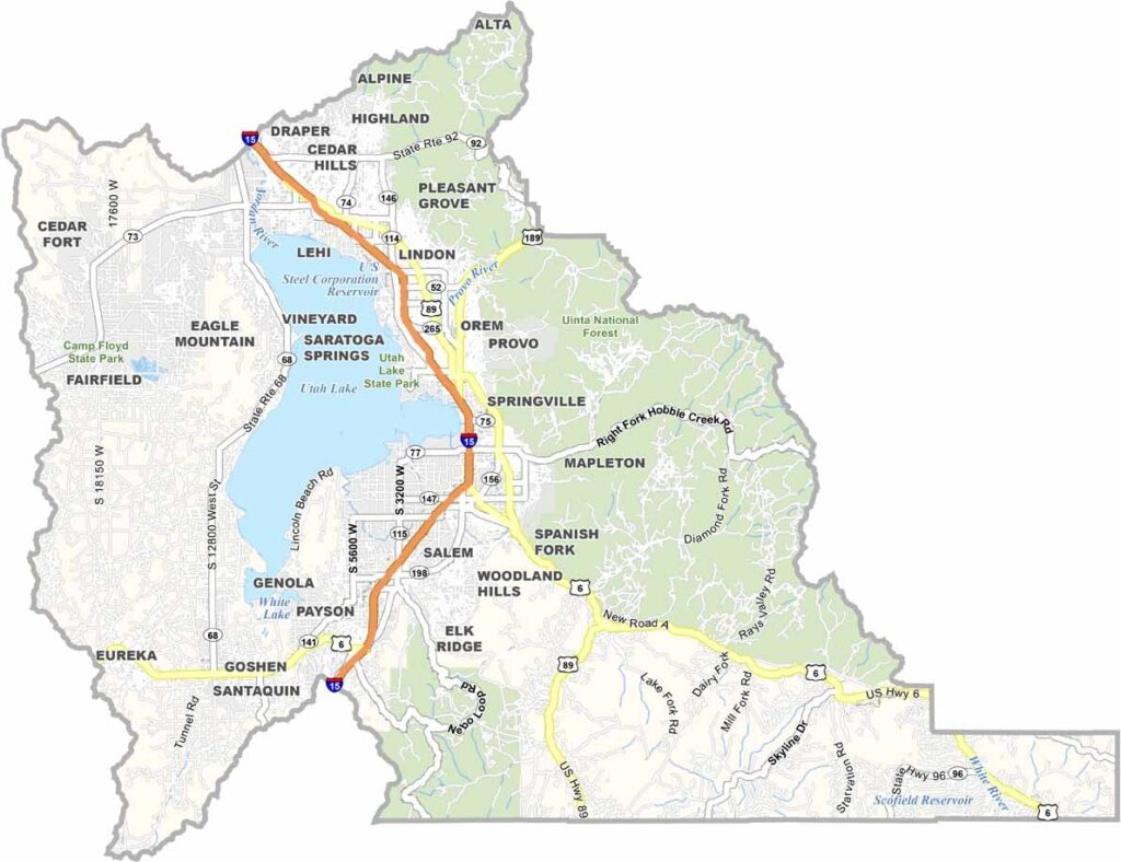
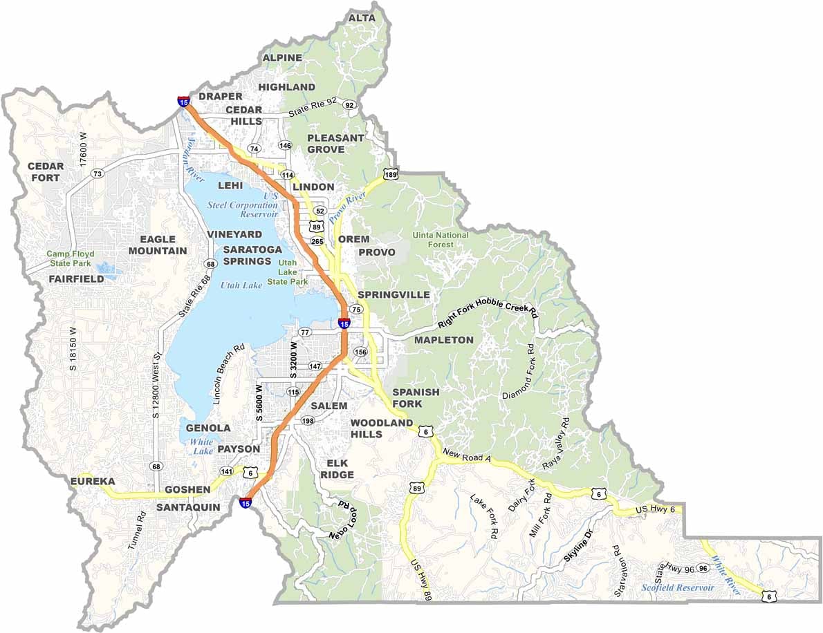
Utah County sits right in the heart of Utah and has a little bit of everything. It lies south of Salt Lake City, with the Wasatch Range to the east and Utah Lake to the west. Provo is the county’s largest city and is home to Brigham Young University.
Tech is a big deal here, too. They don’t call the area Silicon Slopes for nothing. But it’s not all urban development—the mountains are right there, inviting plenty of outdoor adventure. Timpanogos Cave is a local favorite, as is Sundance, Robert Redford’s little part of paradise.
The county is growing fast, but it hasn’t lost its charm. It’s a place where the history of Mormon pioneers and the energy of new tech startups somehow fit together. That’s Utah County in a nutshell.
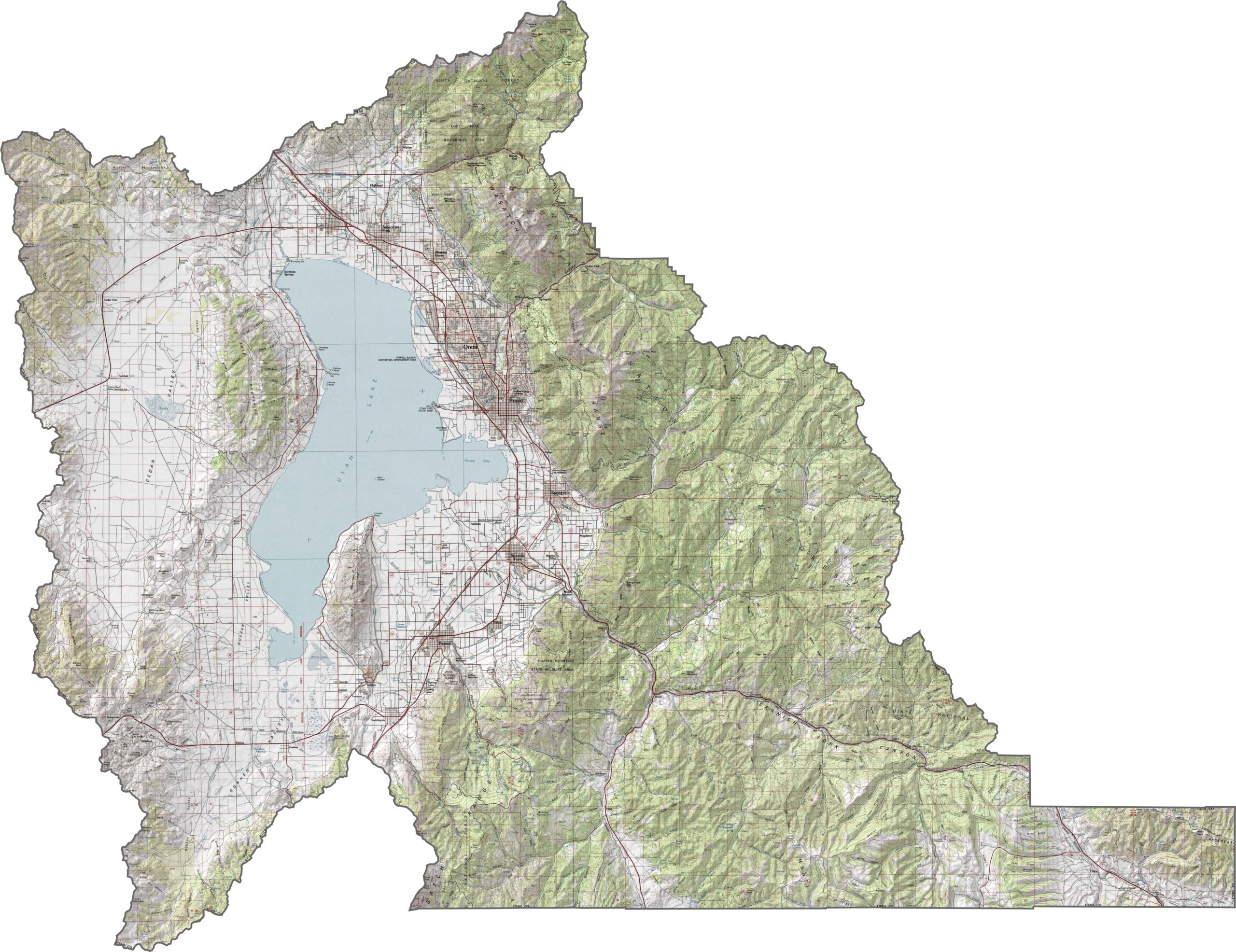
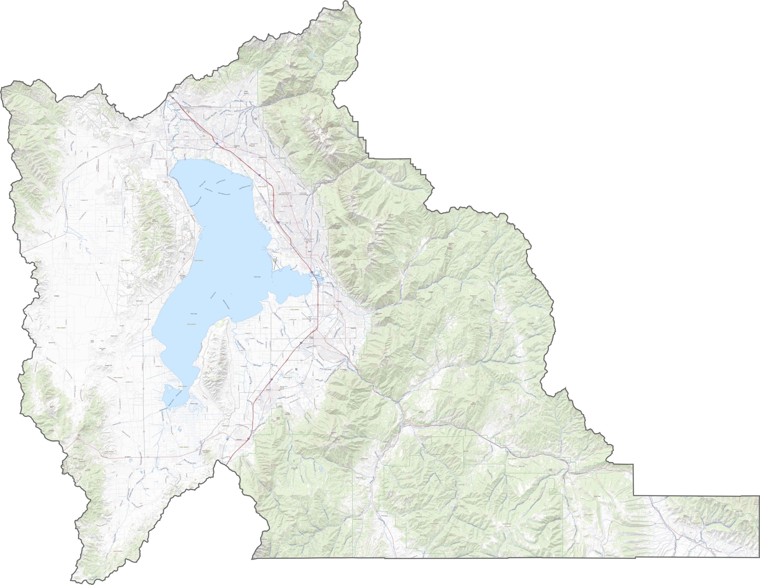
Utah County has one of the wildest backdrops in the state. Mount Timpanogos rises over the valley to the northeast, while Utah Valley is wide and relatively flat, sloping gently toward Utah Lake. High peaks frame both sides, and canyons cut into the surrounding foothills.
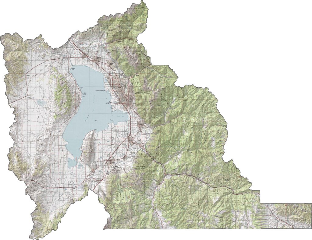
This county is built for movement. I-15 runs north to south through the center of the county, along the east side of Utah Lake. Once you leave the freeway, though, roads wind through quiet canyons and farmland. Try out our new zoom tool below to explore all the highways and routes across Utah County.
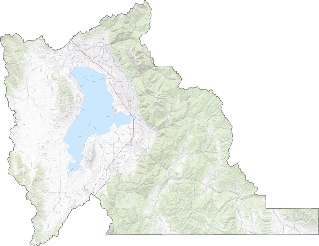
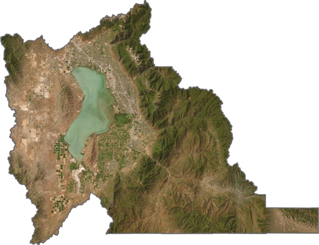
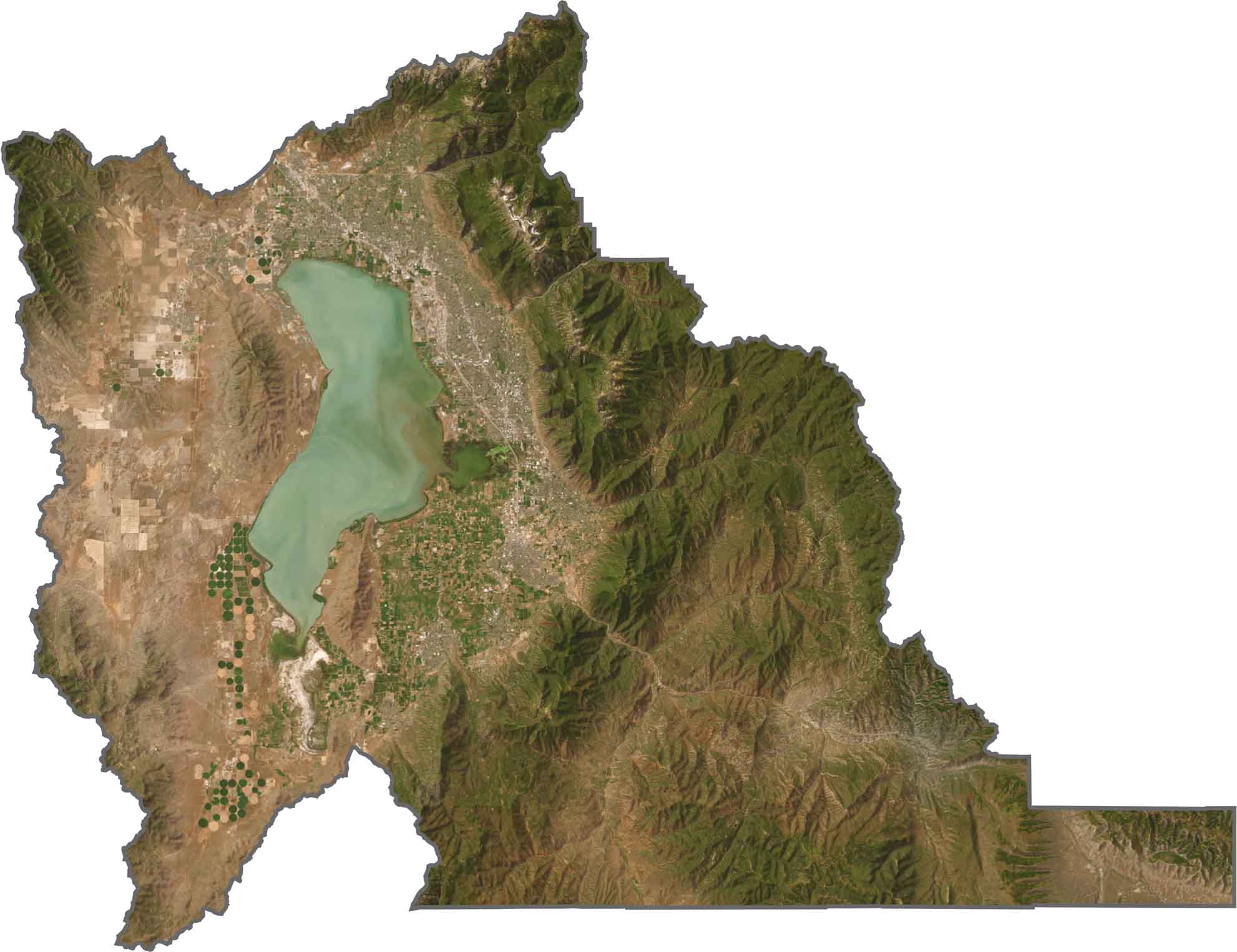
In our satellite map, Utah County shows off its varied terrain. The valley is a grid of farms, subdivisions, and cities wrapped around the blue waters of Utah Lake. The real show, however, is along the edges, where mountains rise abruptly with forested ridges and rocky cliffs.
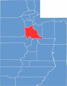
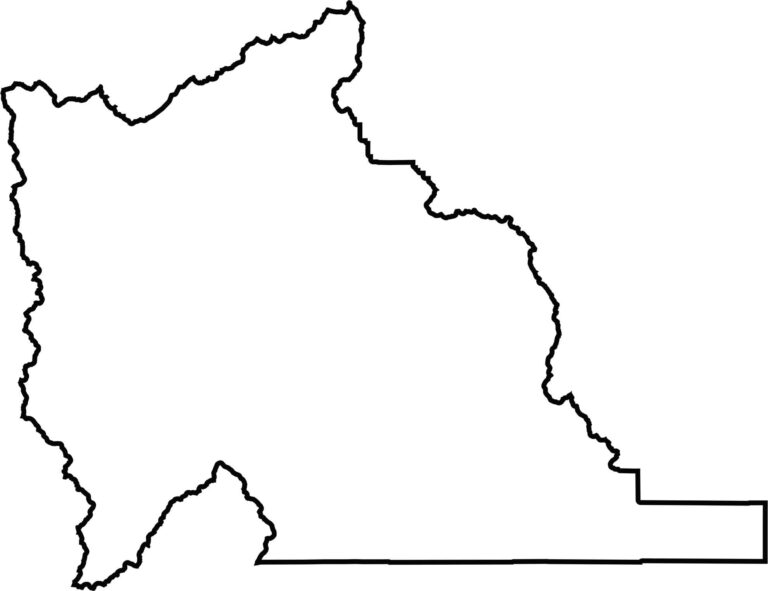
Utah County is shaped a bit like a flat boot. Since it sits relatively close to the middle of Utah, it does not border any other state.
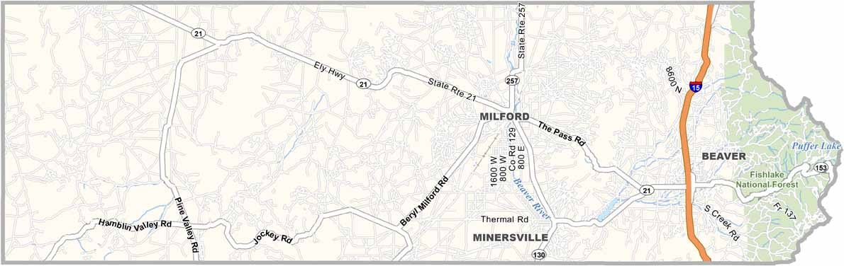
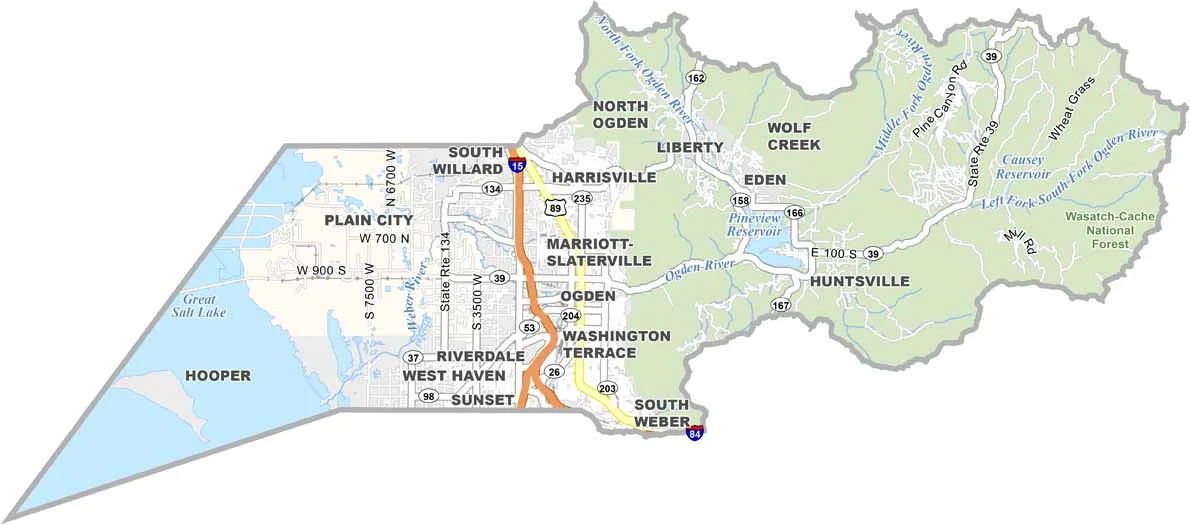
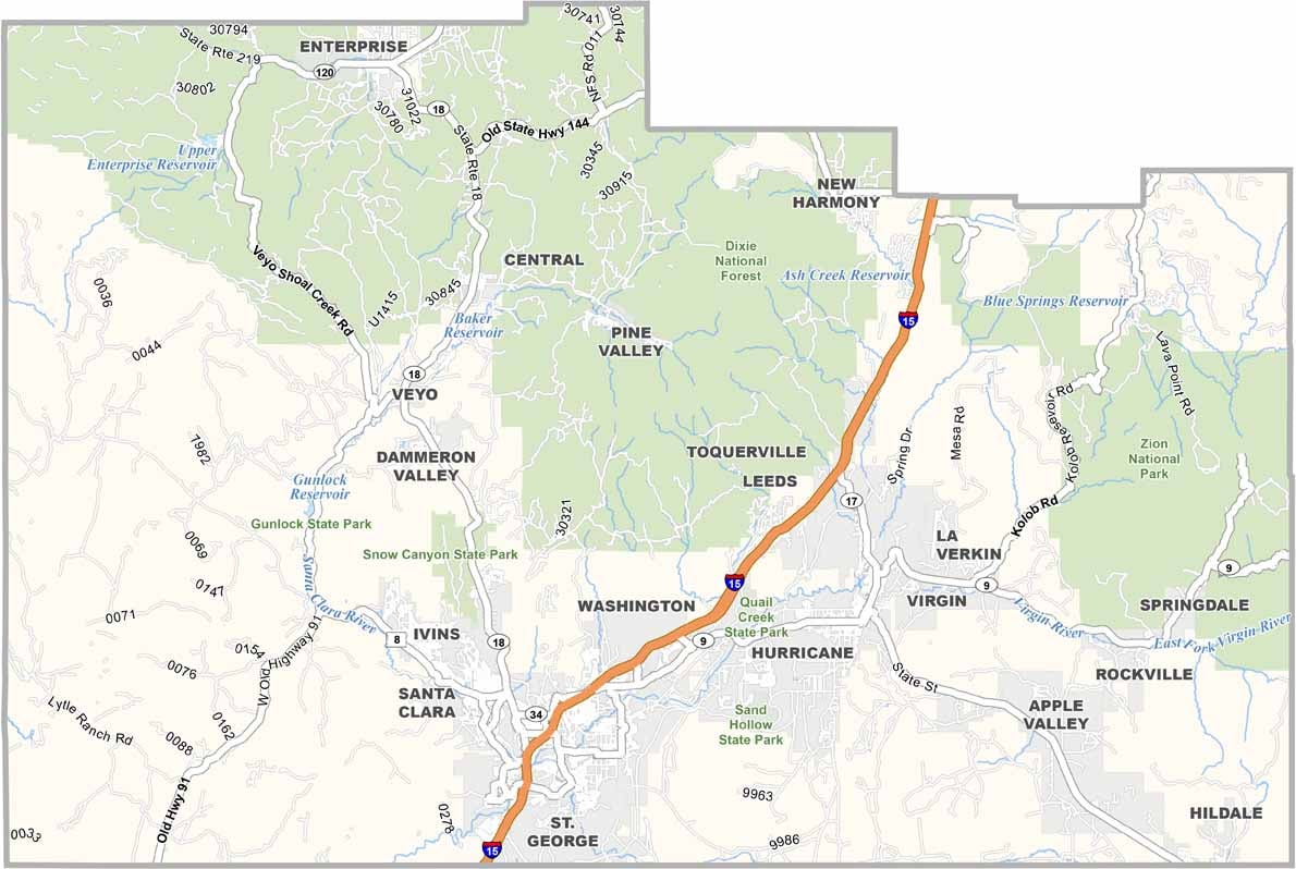
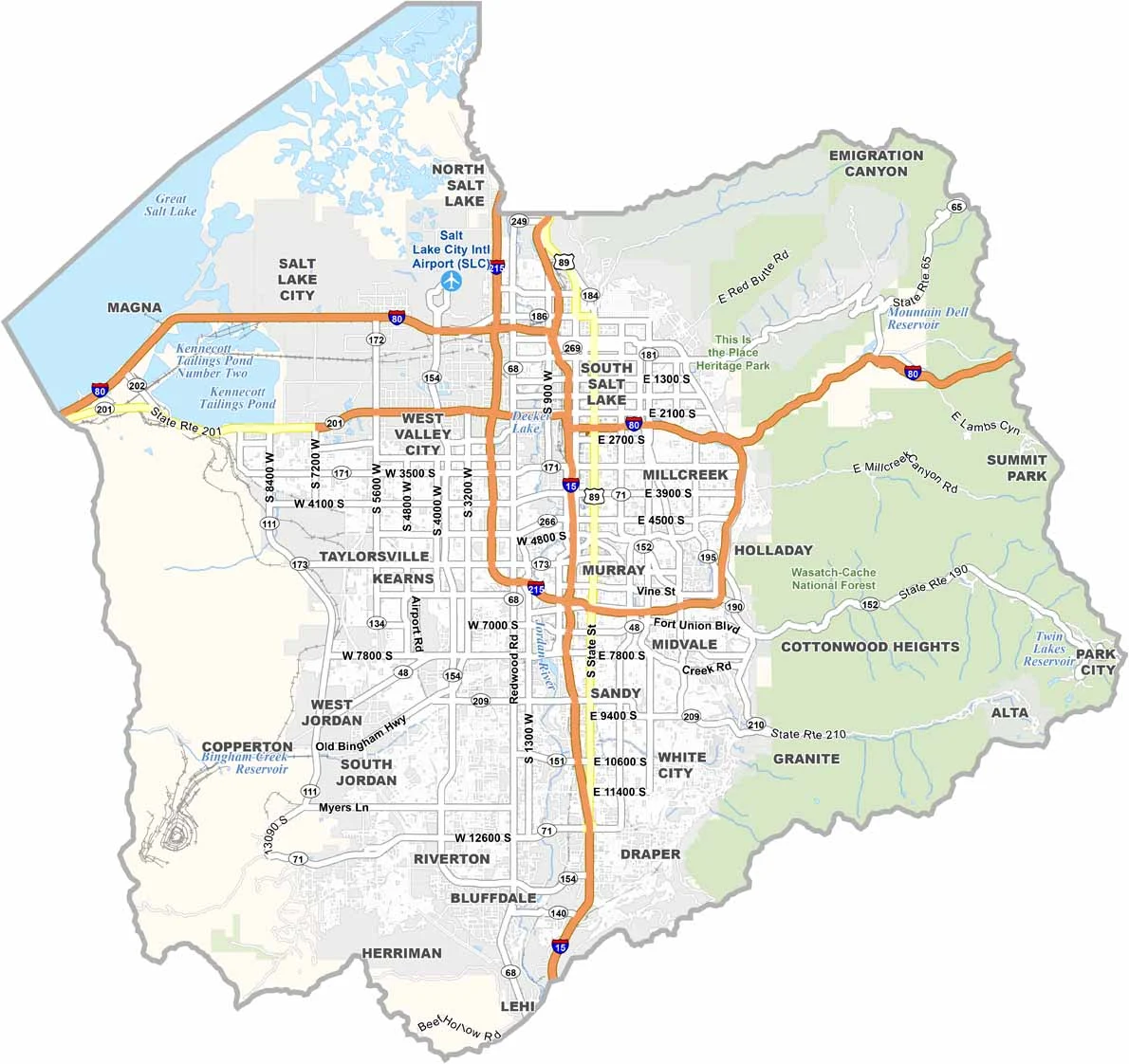
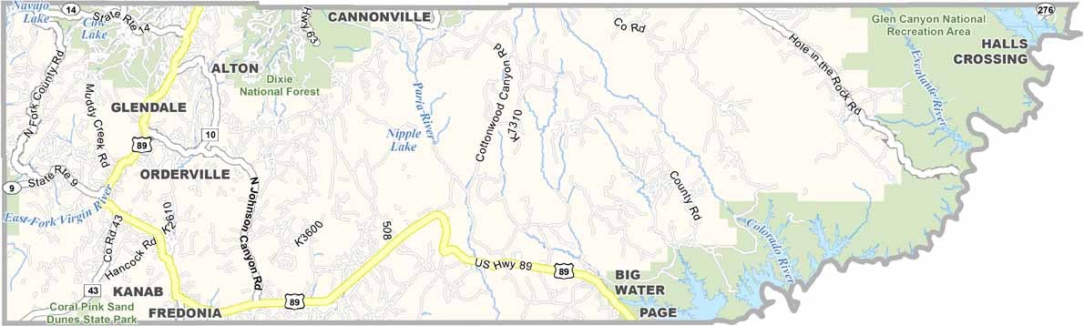


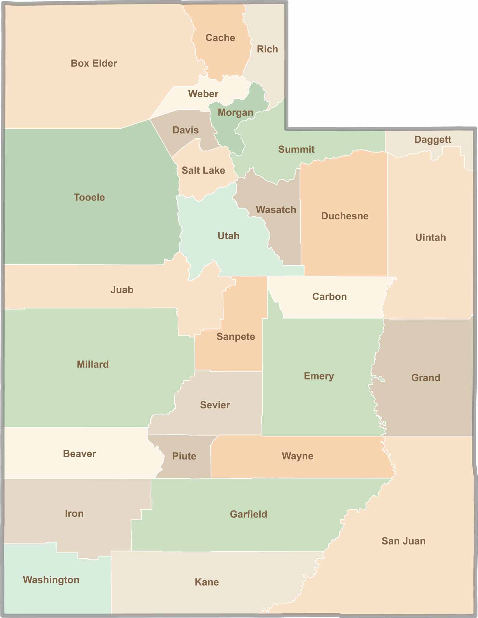
Utah’s 29 counties each have their own unique character and landscape. One is known for its stunning red rock formations, while another rises beneath snow-covered mountain peaks. From vast lava fields and salt flats to deep canyons, every county has a distinct landscape and a story of its own.