
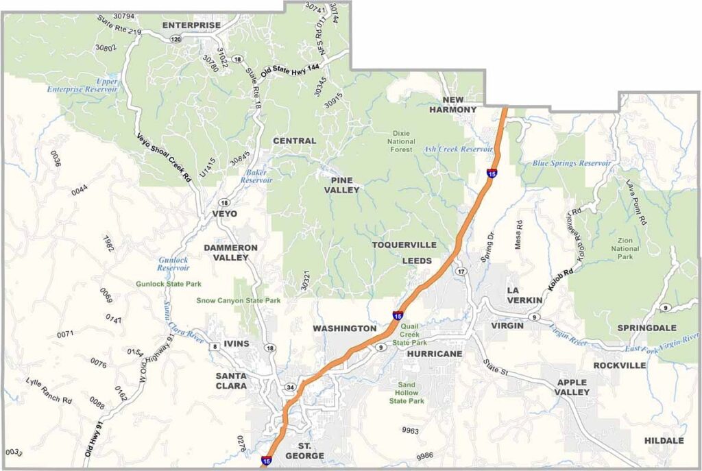
Red rocks and blue skies define Washington County. This southwestern corner of Utah is home to some of the most stunning landscapes in the American West. Zion National Park draws millions of visitors each year with its soaring cliffs and narrow canyons.
St. George, the county seat, has become a popular retirement destination thanks to its warm climate. Hikers, rock climbers, and mountain bikers flock to the area, while the Virgin River winds through the desert. Despite the arid environment, agriculture thrives in pockets of fertile land.
Native American history runs deep through these canyons, with petroglyphs offering glimpses into ancient cultures. Washington County is a mix of small towns and growing cities, creating a place where natural beauty meets the new West.
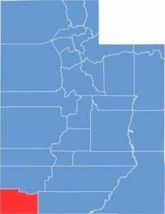
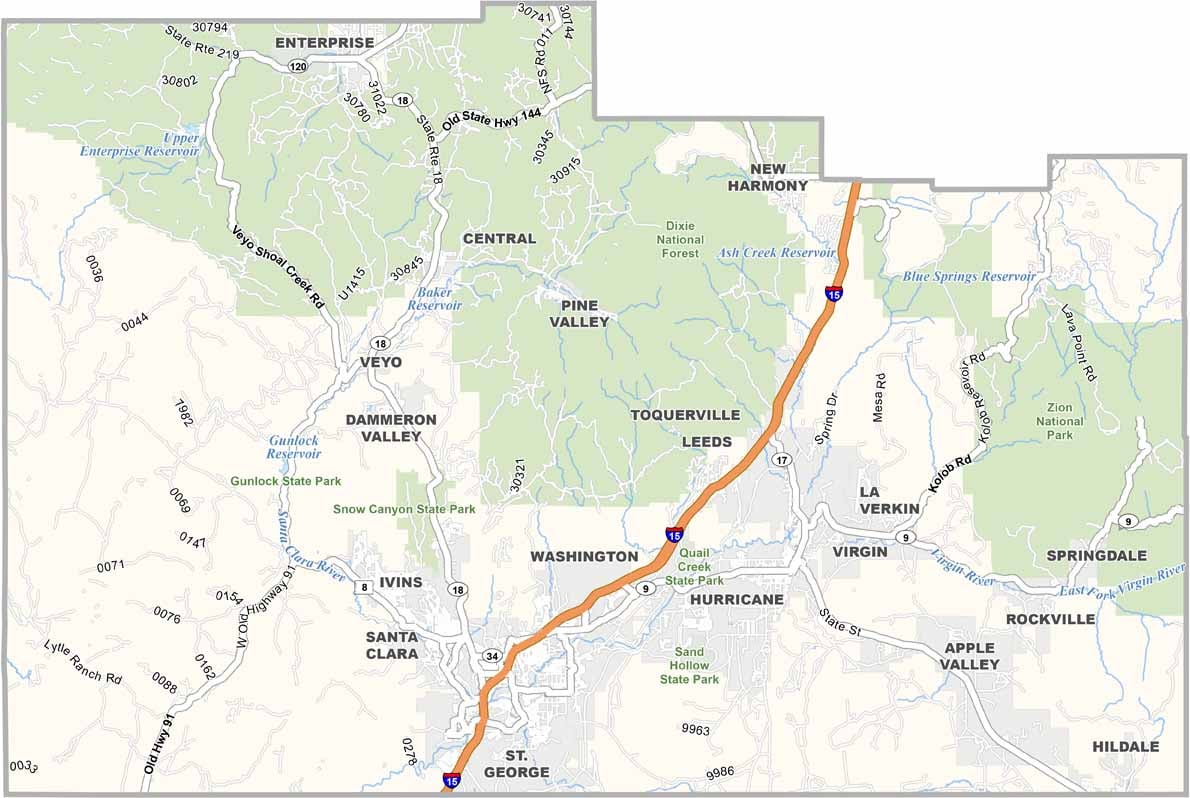
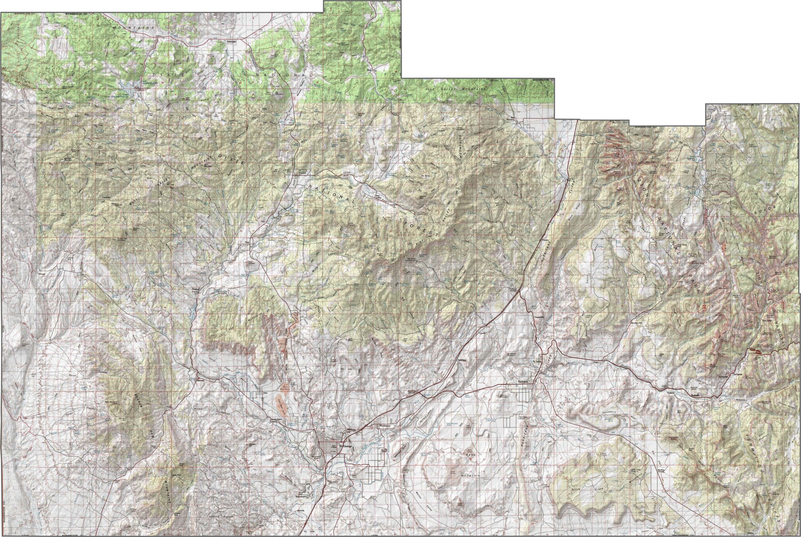
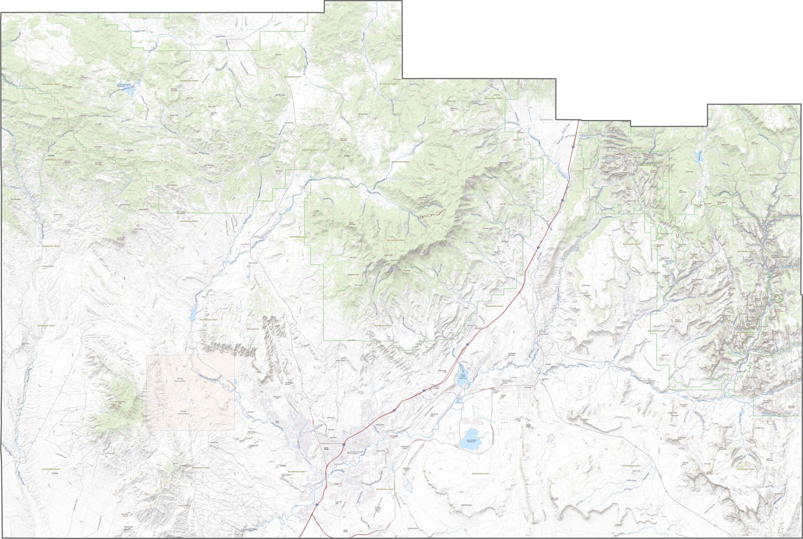
Washington County is where Utah turns red and rugged. The landscape shifts from desert basins to towering cliffs and mesas, with Zion National Park sitting in the eastern part of the county. Elevation changes are dramatic, but the scenery never lets up.
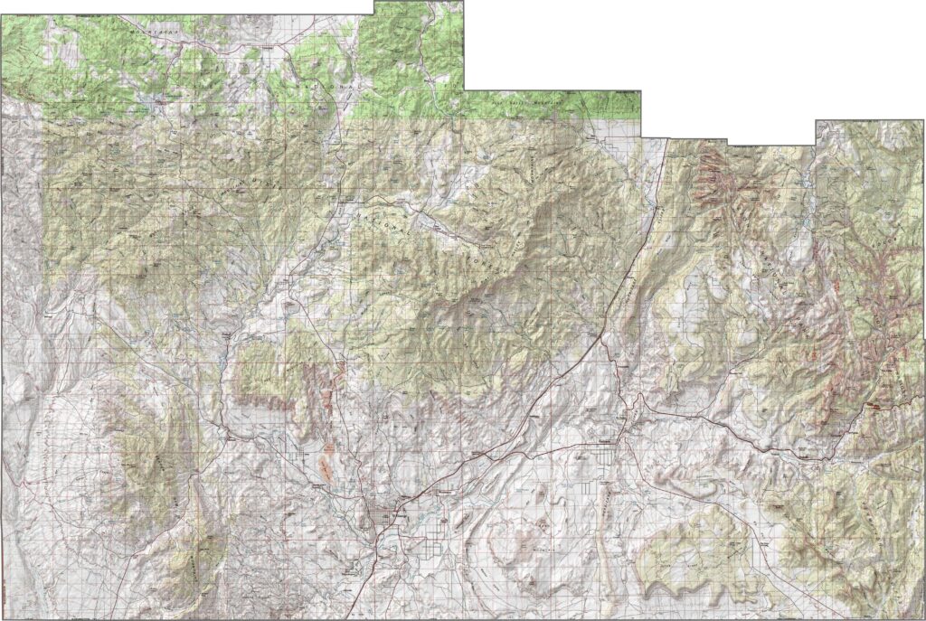
I-15 slices through the county from northwest to southeast, passing through St. George, which has grown rapidly in recent years. While the freeway serves as the main transportation route, smaller highways wind toward parks and red rock plateaus. Zoom in on our road map below.
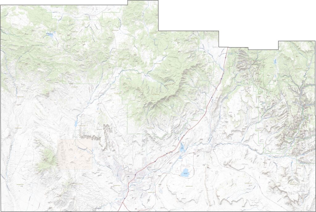
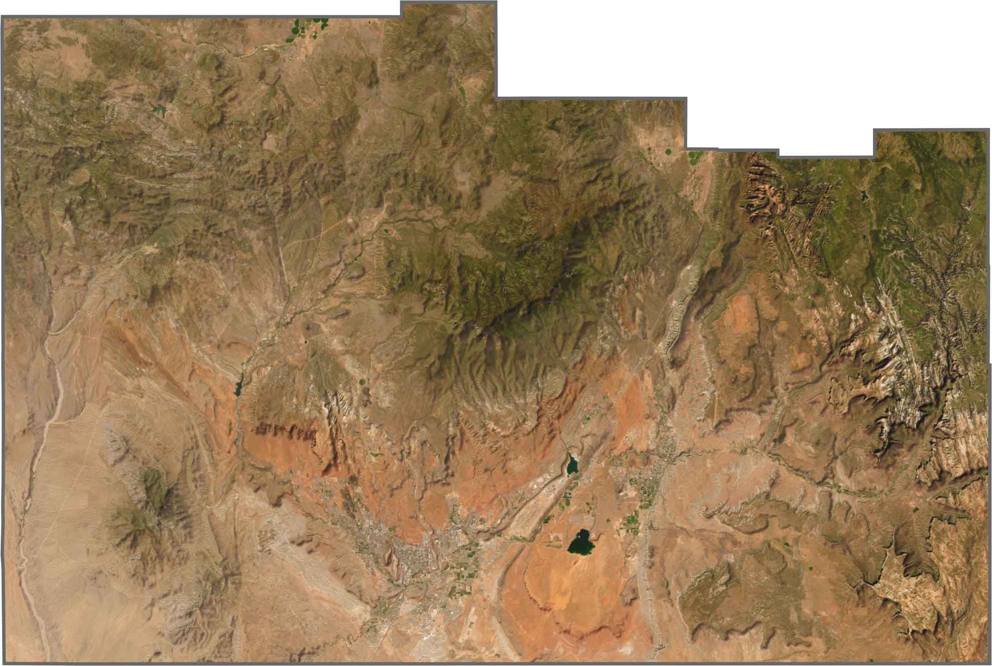
From above, Washington County is all bold colors and rugged terrain. Rusty reds, deep browns, and tan cliffs dominate the landscape, while St. George stands out in the south. Zion’s striped canyons are unmistakable, even from high above. Much of the county looks dry, but it’s far from empty.
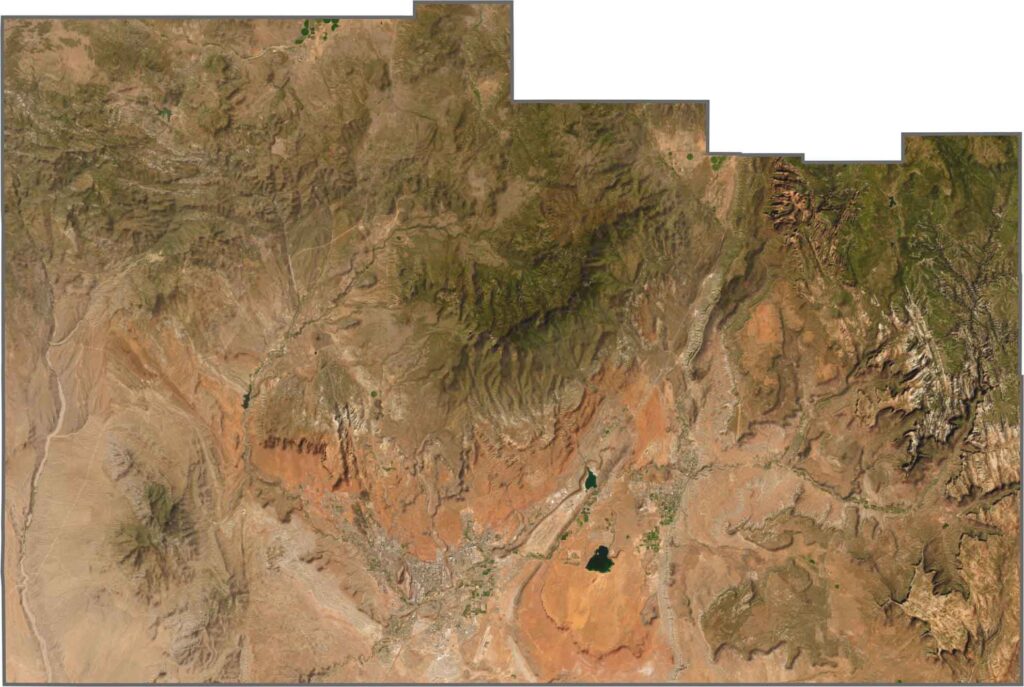
The county has a blocky shape with several straight boundaries. Its southern edge borders Arizona, while Nevada lies to the west. It’s also one of Utah’s larger counties by area.

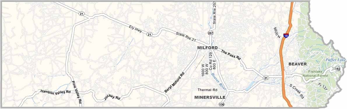
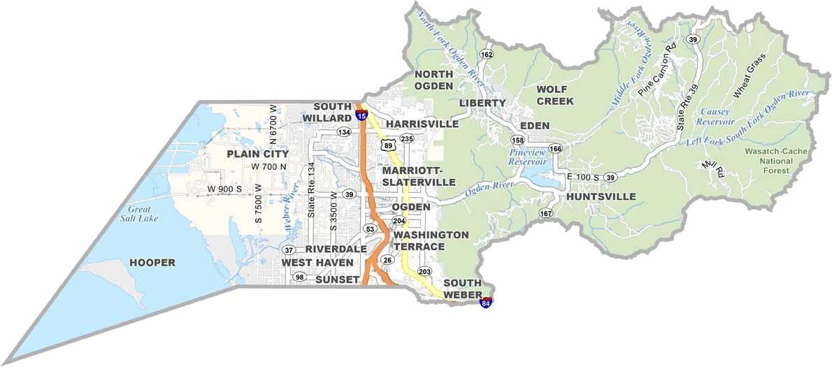


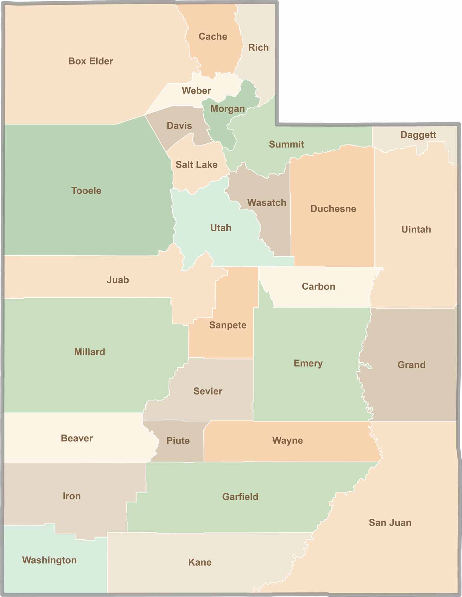
Utah’s 29 counties each have their own unique character and landscape. One is known for its stunning red rock formations, while another rises beneath snow-covered mountain peaks. From vast lava fields and salt flats to deep canyons, every county has a distinct landscape and a story of its own.