Fayette County Map Download Alabama – Outline Map and Blank Map

Fayette County Map Download Alabama – Outline Map and Blank Map

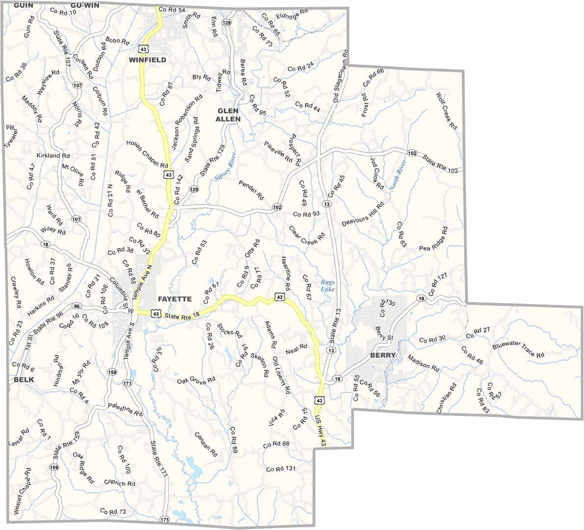
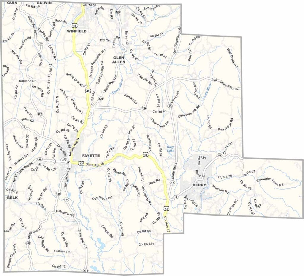
Fayette County maps showing boundaries and locations in Alabama.

Fayette County, Alabama

Fayette County is located in west-central Alabama, with the city of Fayette serving as its main hub. It is a rural area with a population of around 16,000, and U.S. Route 43 acts as the primary highway through the county.

Agriculture plays a central role in the local economy, with timber and poultry farming as key industries. The Sipsey River runs through the county, and Guthrie Smith Park provides a peaceful setting for picnics and community events.

Each year, Fayette hosts an Arts Festival that brings a touch of culture to this quiet region. And for a bit of local folklore, some say the Sipsey River is home to a mysterious creature—though it’s likely just a particularly large catfish.
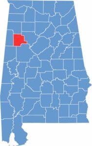

Fayette County location map showing its position in Alabama.
Category Details
County Name Fayette County
County Seat Fayette
Cities, Towns, and Communities Fayette, Berry, Belk, Bankston, Newtonville, Glen Allen
Interstates and Highways U.S. Highway 43, State Route 18, State Route 13, State Route 102
Etymology Named after the Marquis de Lafayette, a French general who fought alongside American forces during the Revolutionary War
FIPS Code 01-057
Total Area (Land and Water) 629 square miles (Land: 628 sq mi, Water: 1 sq mi)
Time Zone Central Time Zone (CT)
State Alabama
Coordinates 33.7068° N, 87.7476° W
Major Landmarks Fayette Art Museum, Fayette County Courthouse, Sipsey River, Guthrie Smith Park
Adjacent Counties (and Direction) Marion County (North), Walker County (East), Tuscaloosa County (Southeast), Pickens County (Southwest), Lamar County (West)
Population Approximately 16,000
Scroll to Top