Franklin County Map Download Alabama – Outline Map and Blank Map

Franklin County Map Download Alabama – Outline Map and Blank Map

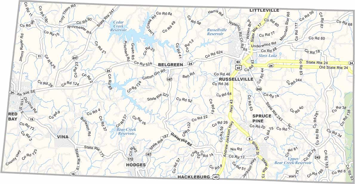
Franklin County maps showing boundaries and locations in Alabama.

Franklin County, Alabama

Franklin County lies in the foothills of the Appalachian Mountains, making it one of the more scenic areas in Alabama. Russellville serves as the county seat and is well known for its annual Watermelon Festival. The county has a population of around 31,000.

U.S. Highway 43 runs through the area, providing easy access. Dismals Canyon, a designated National Natural Landmark, is one of the county’s standout natural attractions. Rock Bridge Canyon Equestrian Park also draws visitors, especially those interested in horseback riding.

For outdoor recreation, Cedar Creek Lake is a popular destination for boating and swimming, along with Russellville Lake and Bear Creek Reservoir. Visitors should be prepared for the outdoors—especially the persistent mosquitoes that are part of life in the region.
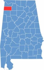

Franklin County location map showing its position in Alabama.
Category Details
County Name Franklin County
County Seat Russellville
Cities, Towns, and Communities Russellville, Red Bay, Phil Campbell, Vina, Hodges, Belgreen, Tharptown, Spruce Pine
Interstates and Highways U.S. Highway 43, U.S. Highway 72, State Route 24, State Route 13, State Route 17, State Route 243
Etymology Named in honor of Benjamin Franklin, one of the Founding Fathers of the United States
FIPS Code 01-059
Total Area (Land and Water) 647 square miles (Land: 634 sq mi, Water: 13 sq mi)
Time Zone Central Time Zone (CT)
State Alabama
Coordinates 34.4428° N, 87.8429° W
Major Landmarks Dismals Canyon, Bear Creek Lake, Red Bay Museum, Cedar Creek Lake, Roxy Theatre
Adjacent Counties (and Direction) Colbert County (North), Lawrence County (East), Winston County (Southeast), Marion County (South), Itawamba County, Mississippi (Southwest), Tishomingo County, Mississippi (Northwest)
Population Approximately 31,000
Scroll to Top