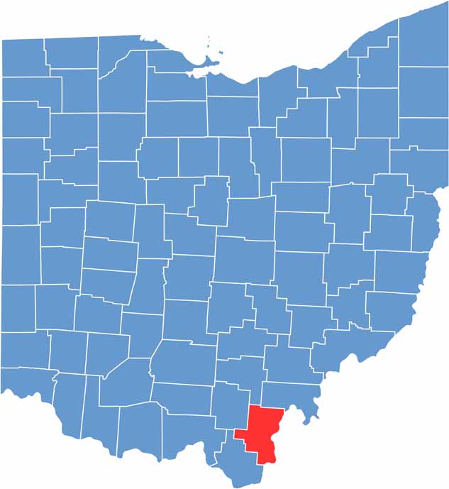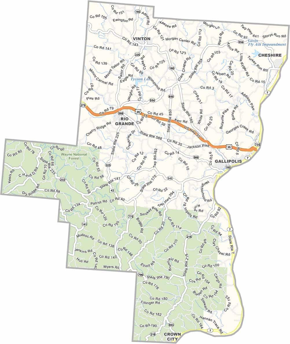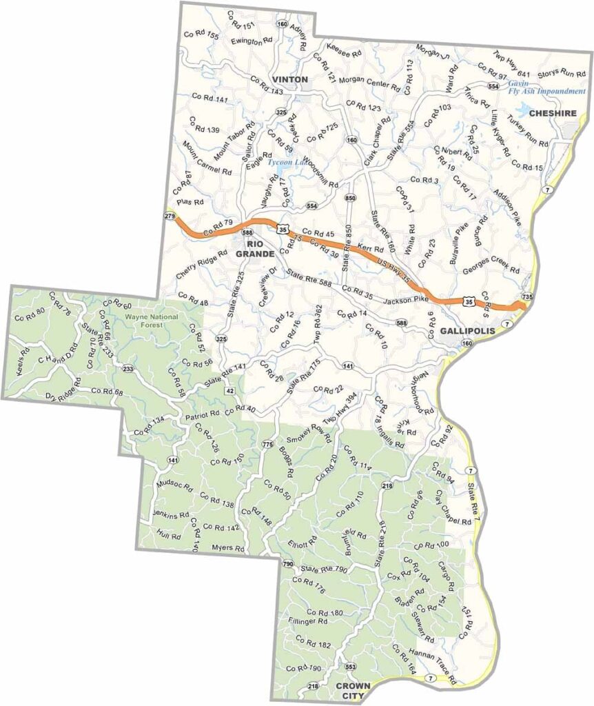
Gallia County lies in southern Ohio, bordering West Virginia, with the Ohio River forming its eastern edge. The county is steeped in history and natural beauty. Gallipolis, the county seat, was founded by French settlers, and their influence is still visible today.
The Bob Evans Farm, birthplace of the restaurant chain, is a popular tourist spot. Outdoor lovers enjoy Wayne National Forest, which covers a large chunk of the southwest with miles of hiking and horseback riding trails.
The county has a strong agricultural tradition, so you’ll see plenty of farms as you drive through. Gallia County is known for its friendly people and slower pace of life, making it a great place to unwind, especially along the Ohio River. It might be off the beaten path, but it’s worth the trip.