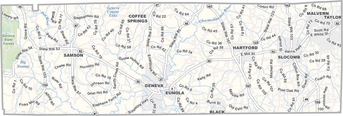
Geneva County Map Download Alabama – Outline Map and Blank Map

Geneva County Map Download Alabama – Outline Map and Blank Map

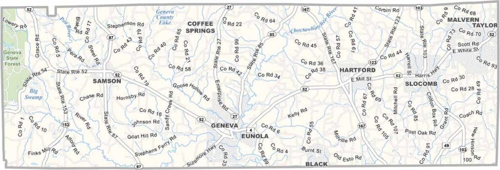
Geneva County map showing boundaries and locations in Alabama.

Alabama

Geneva County is located in southeastern Alabama, where the Choctawhatchee River and Pea River come together—giving rise to the city of Geneva’s motto, “Where the Rivers Meet.”

Positioned in the southeastern corner of the state, the county borders Florida. The city of Geneva serves as the county seat, and the total population is around 26,000.

Local folklore adds a unique touch to the area, including the legend of “Huggin’ Molly,” a mysterious figure said to chase and hug people at night. The county is also home to Geneva State Forest in the western region, the largest state forest in Alabama.
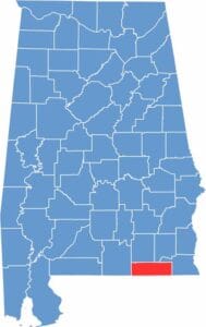

Geneva County location map showing its position in Alabama.
Category Details
County Name Geneva County
County Seat Geneva
Cities, Towns, and Communities Geneva, Samson, Hartford, Slocomb, Malvern, Coffee Springs, Eunola, Chancellor, Black, Bellwood
Interstates and Highways U.S. Highway 84, U.S. Highway 52, State Route 27, State Route 85, State Route 103
Etymology Named after Geneva, New York, the origin of several early settlers
FIPS Code 01-061
Total Area (Land and Water) 579 square miles (Land: 574 sq mi, Water: 5 sq mi)
Time Zone Central Time Zone (CT)
State Alabama
Coordinates 31.0344° N, 85.8557° W
Major Landmarks Constitution Oak (one of Alabama’s oldest and largest oak trees), Robert Fowler Memorial Park, Pea River, Geneva County Courthouse
Adjacent Counties (and Direction) Dale County (Northeast), Houston County (East), Jackson County, Florida (Southeast), Holmes County, Florida (South), Walton County, Florida (Southwest), Covington County (West), Coffee County (Northwest)
Population Approximately 26,000
Scroll to Top