
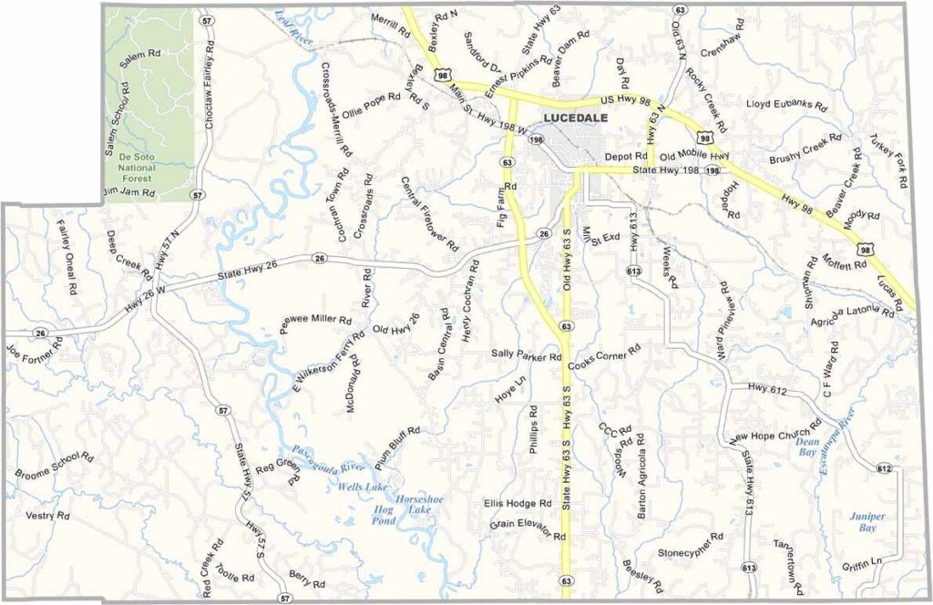
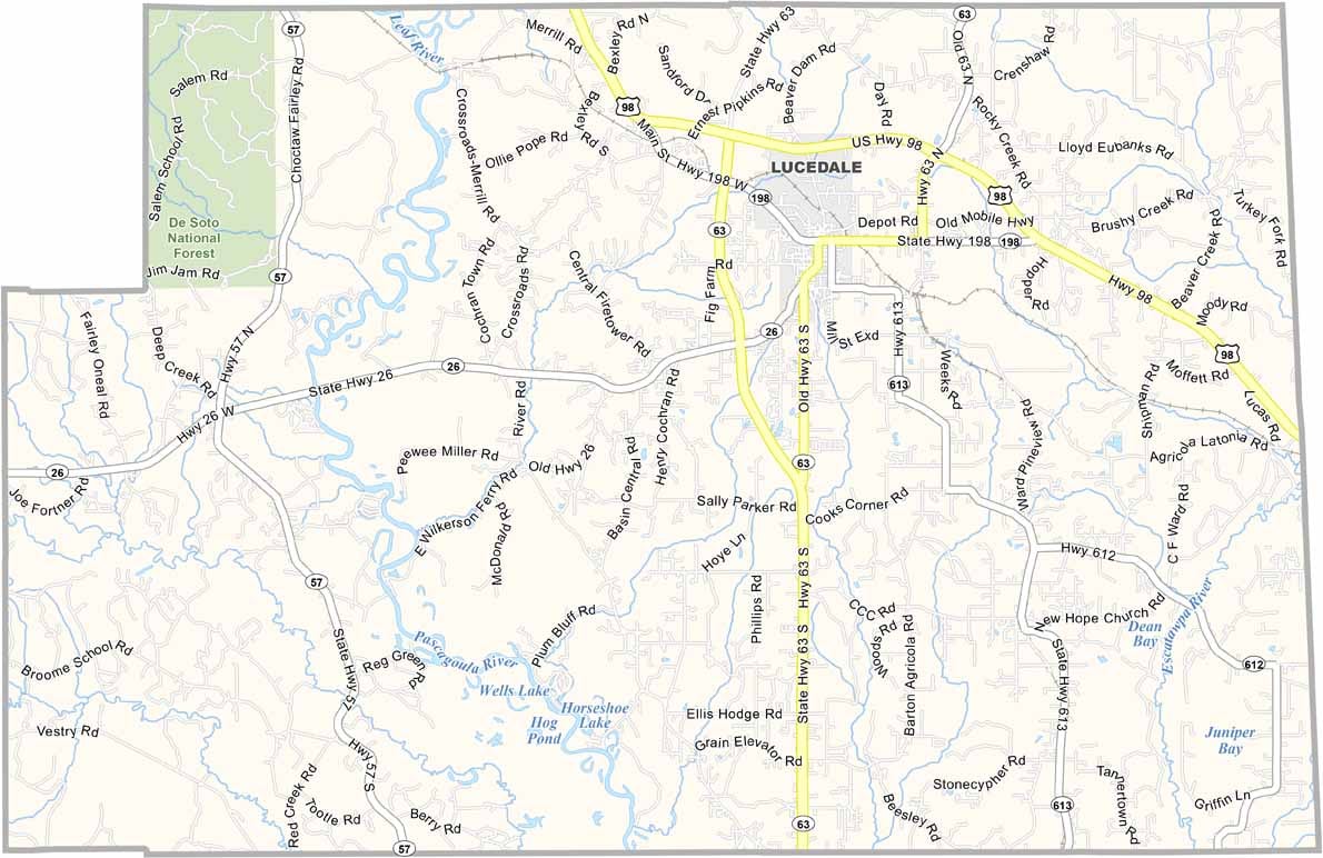
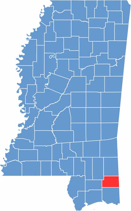
George County sits in the southeastern corner of Mississippi. It’s a place filled with pine-scented air, while the Pascagoula River flows through the area. Lucedale is the county’s only city and also serves as the county seat.
People here take pride in their small-town lifestyle. You won’t find many big-box stores, but there are plenty of local shops and diners. The George County Fair also brings the community together every October.
Pecan orchards reflect the county’s agricultural roots. On Friday nights, the high school football stadium becomes the place to be. Visitors can also head to the Pascagoula River Wildlife Management Area for hunting and fishing.

Mississippi Counties
Rankin County Map Download Mississippi – Outline Map and Blank Map

Mississippi Counties
Madison County Map Download Mississippi – Outline Map and Blank Map

Mississippi Counties
Jackson County Map Download Mississippi – Outline Map and Blank Map

Mississippi Counties
Hinds County Map Download Mississippi – Outline Map and Blank Map

Mississippi Counties
Harrison County Map Download Mississippi – Outline Map and Blank Map

Mississippi Counties