
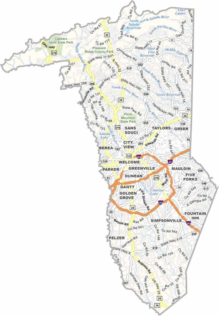
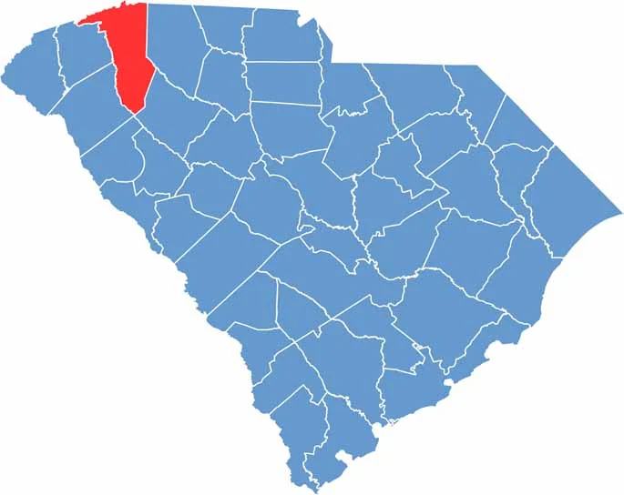
Greenville County is in the northwest corner of South Carolina, right at the foot of the Blue Ridge Mountains. It is the most populous county in the state. Greenville, the county seat, has transformed itself into a city with a killer food scene.
But the county is not just about the city. There are plenty of small towns with their own charm. Falls Park on the Reedy is its crown jewel, and the Swamp Rabbit Trail draws cyclists and runners from all over.
Travelers Rest lives up to its name as a chill mountain town. The county has a strong manufacturing presence, with BMW's U.S. plant calling it home. From urban amenities to mountain views, Greenville County has it all.
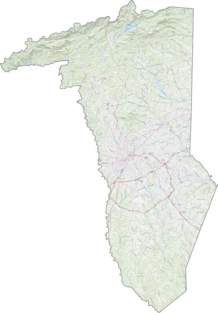
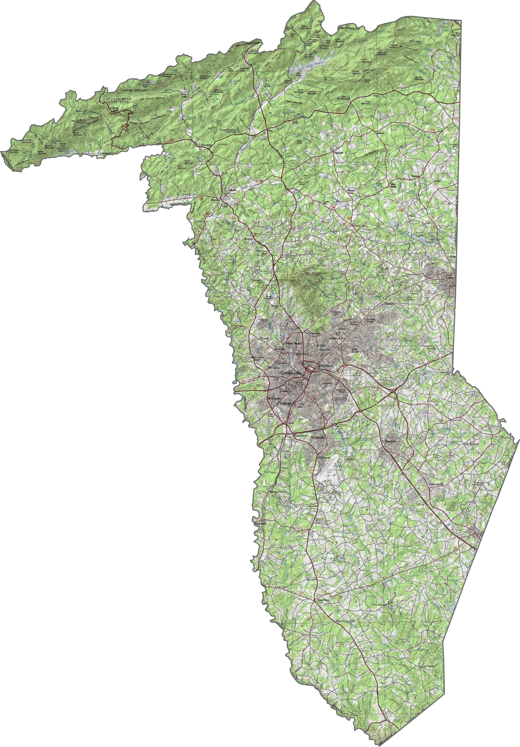
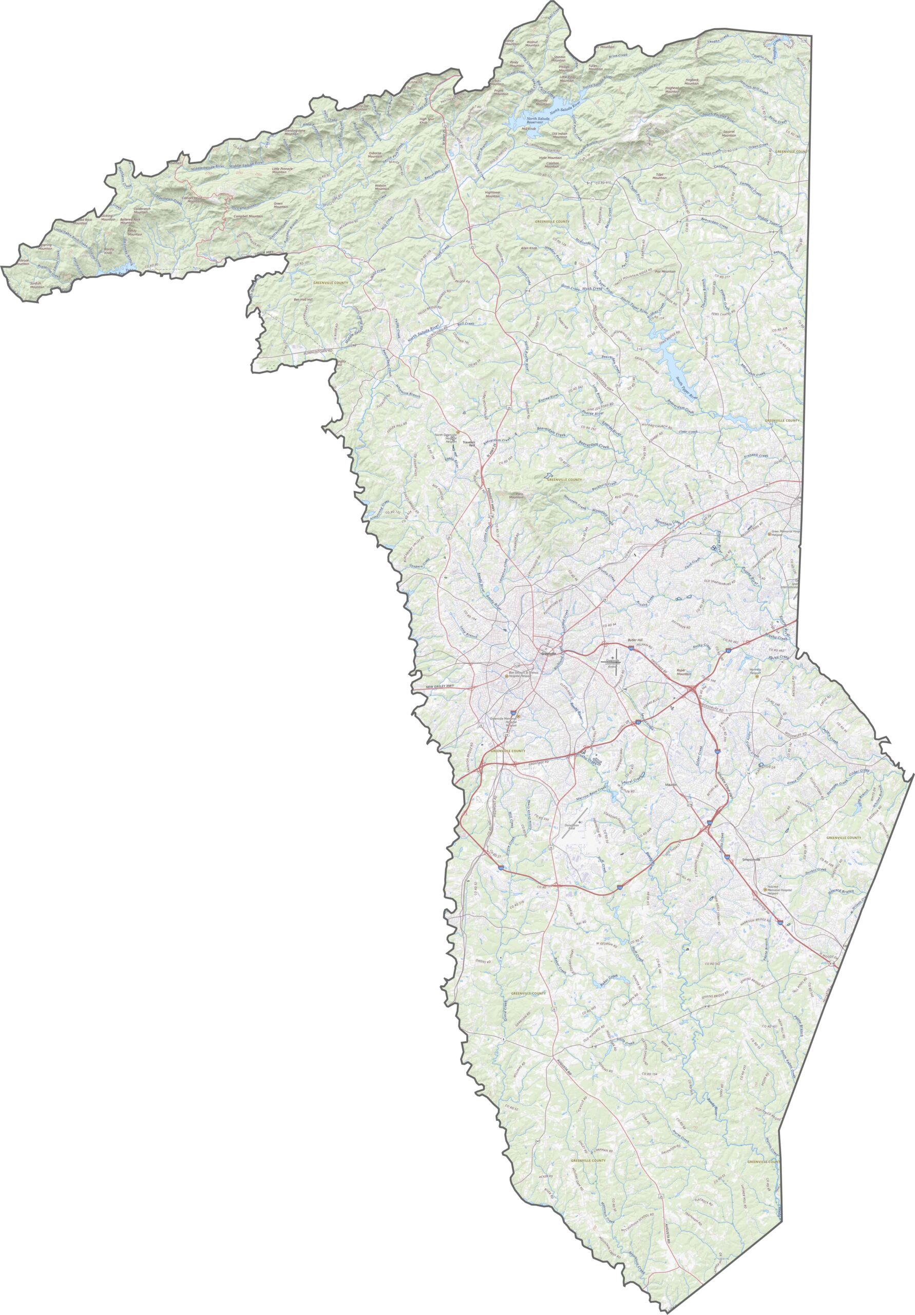
Greenville County is where the Piedmont rises. It gets hilly fast, with rugged foothills marking the edge of the Blue Ridge. Toward the southeast, the land flattens into rolling hills. It is a county with real elevation variety. Use our zoom tool below to see the full picture.
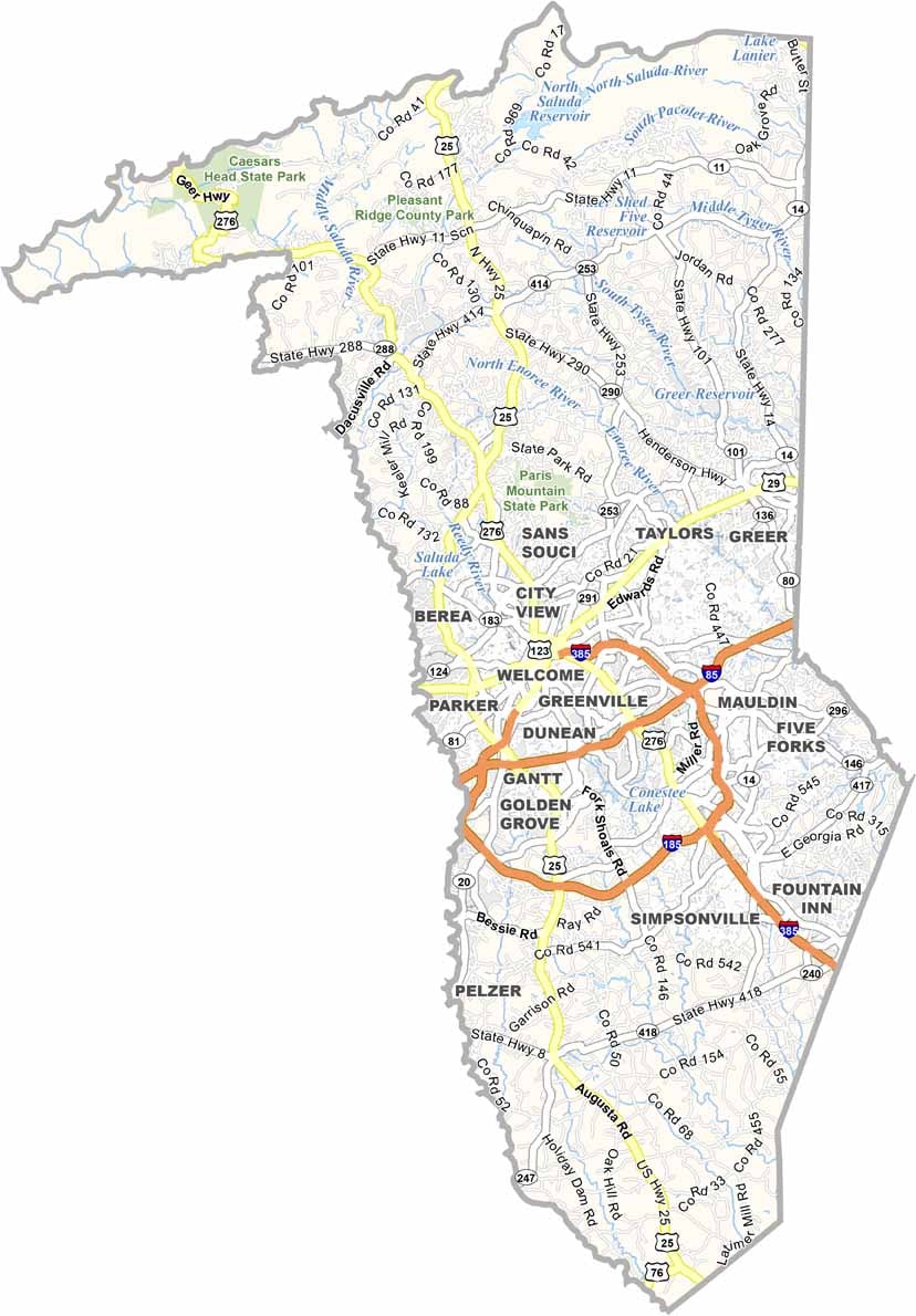
Greenville County has roads everywhere. Highways like I-85, I-185, and I-385 twist, loop, and crisscross like someone spilled a box of spaghetti. The interchanges can feel chaotic, but they definitely do the job.
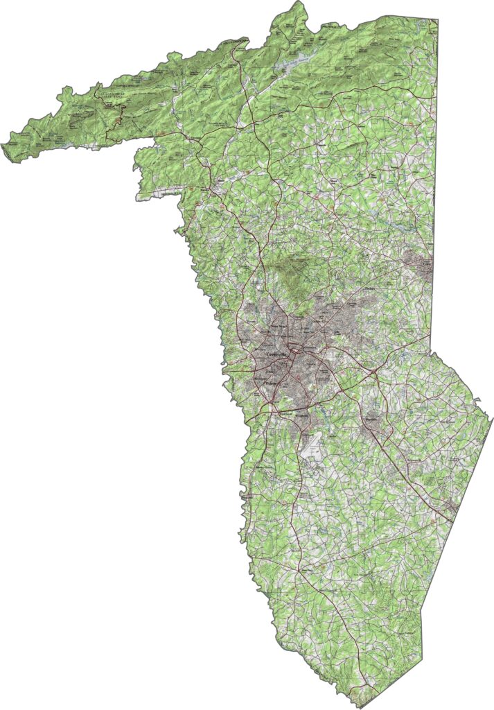
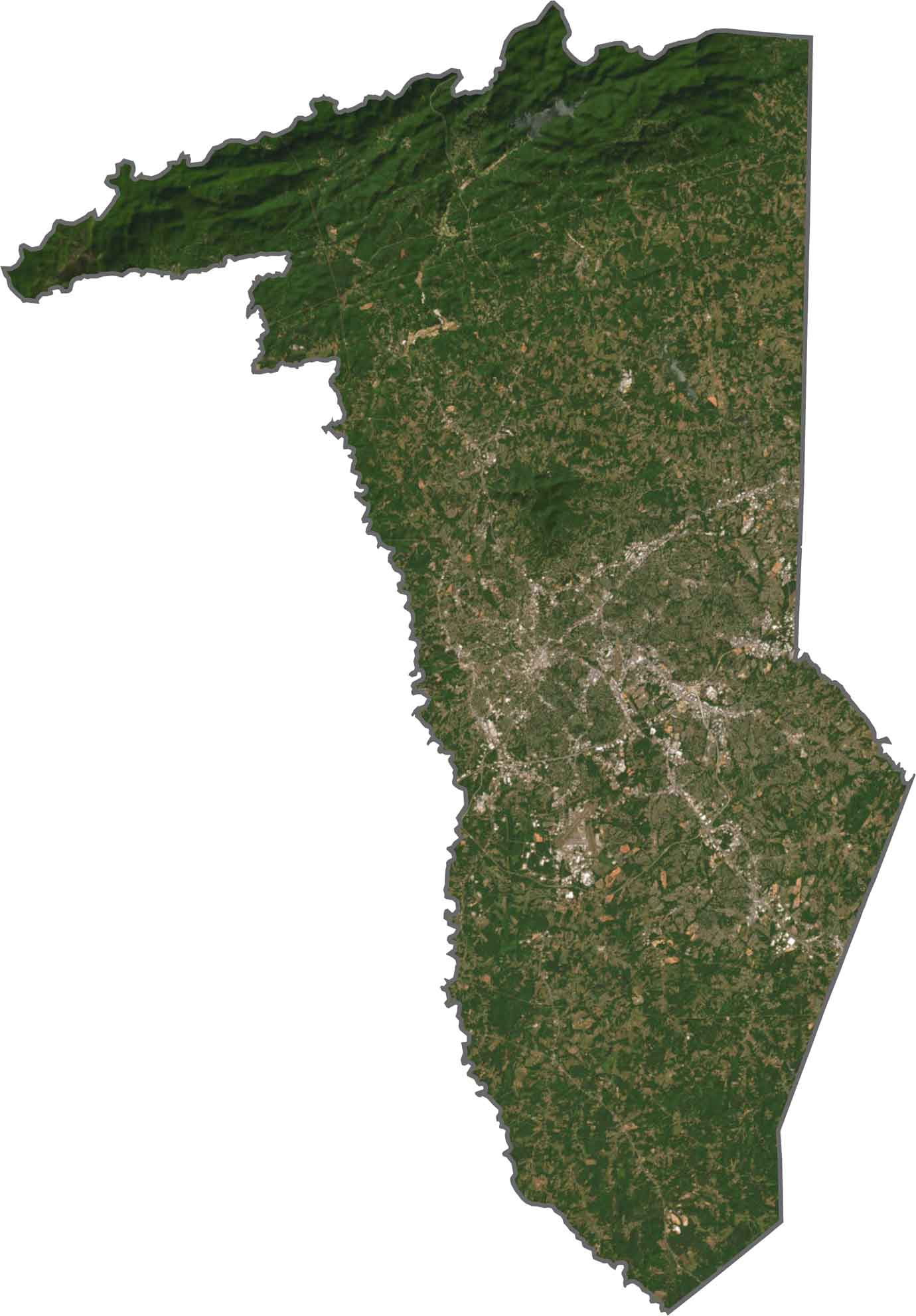
Urban sprawl extends out from the city of Greenville, but forests still cover the ridges and outer edges. The northwest corner is greener and rougher, thick with trees and marked by sharp elevation change.
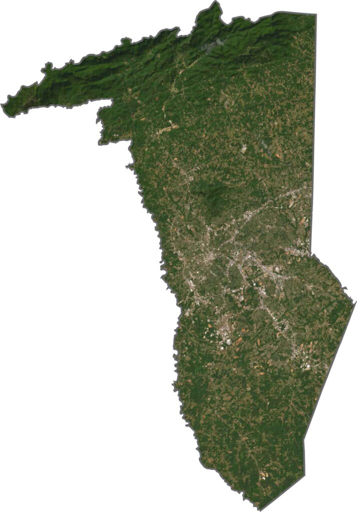
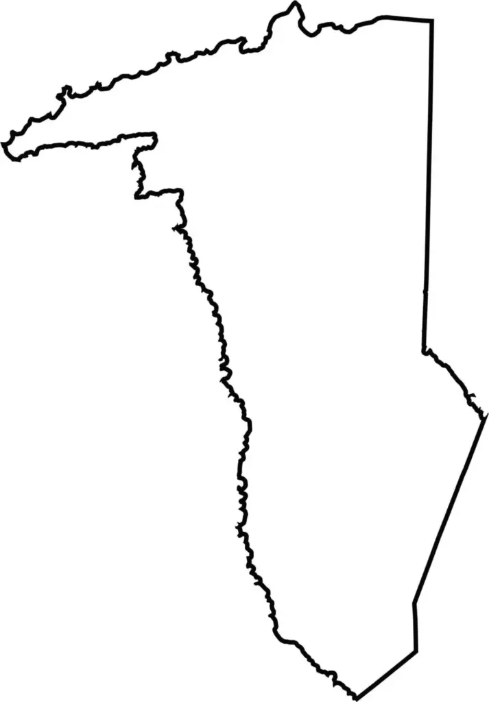
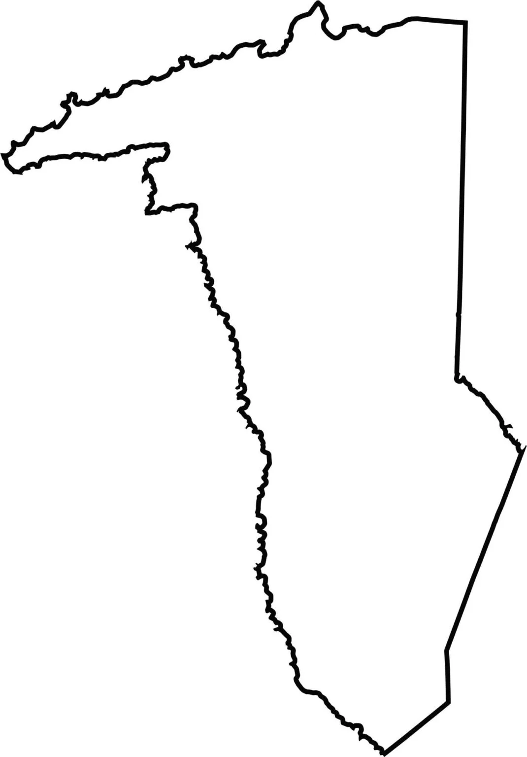
The shape is lopsided and irregular, stretching long from top to bottom. The northern edge runs along the North Carolina border. Corners and curves give it a restless outline.






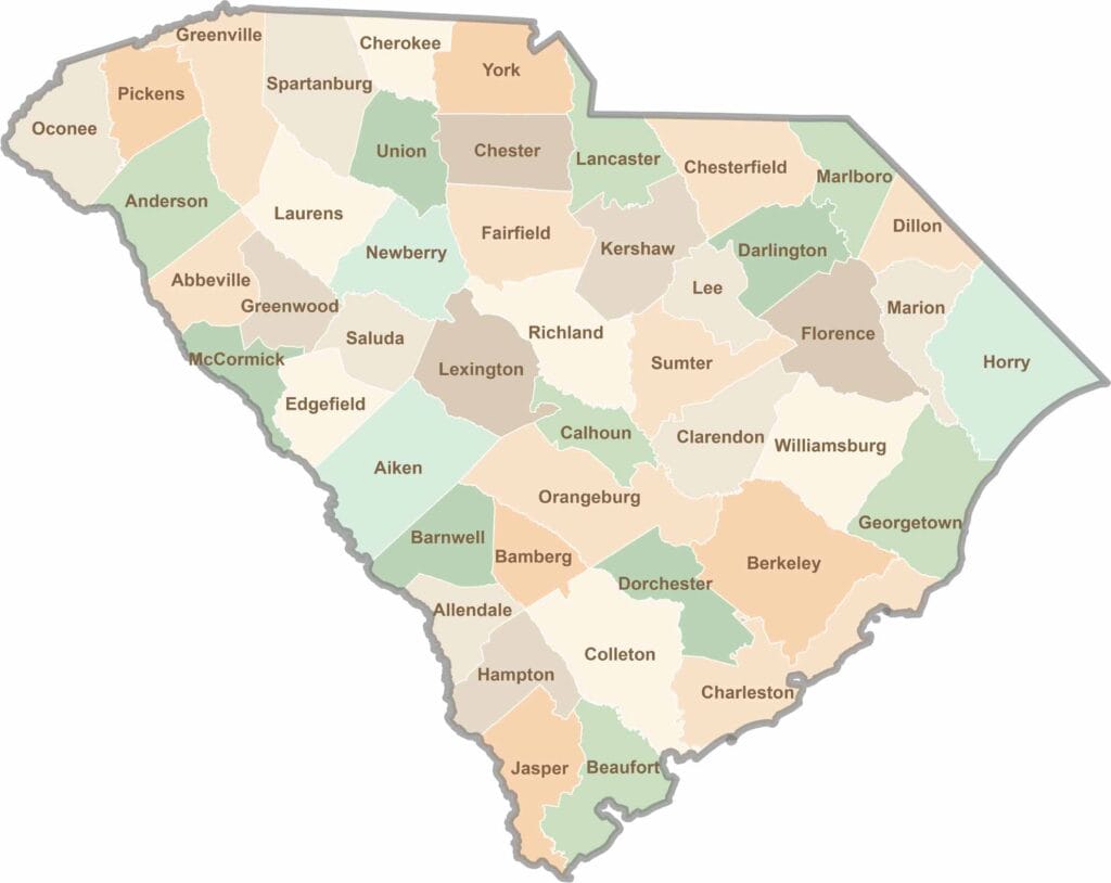
South Carolina’s 46 counties each have their own personality. Some are all about beach vibes, while others are steeped in history. You’ll find gators, grits, and gospel here—sometimes all in the very same afternoon.