
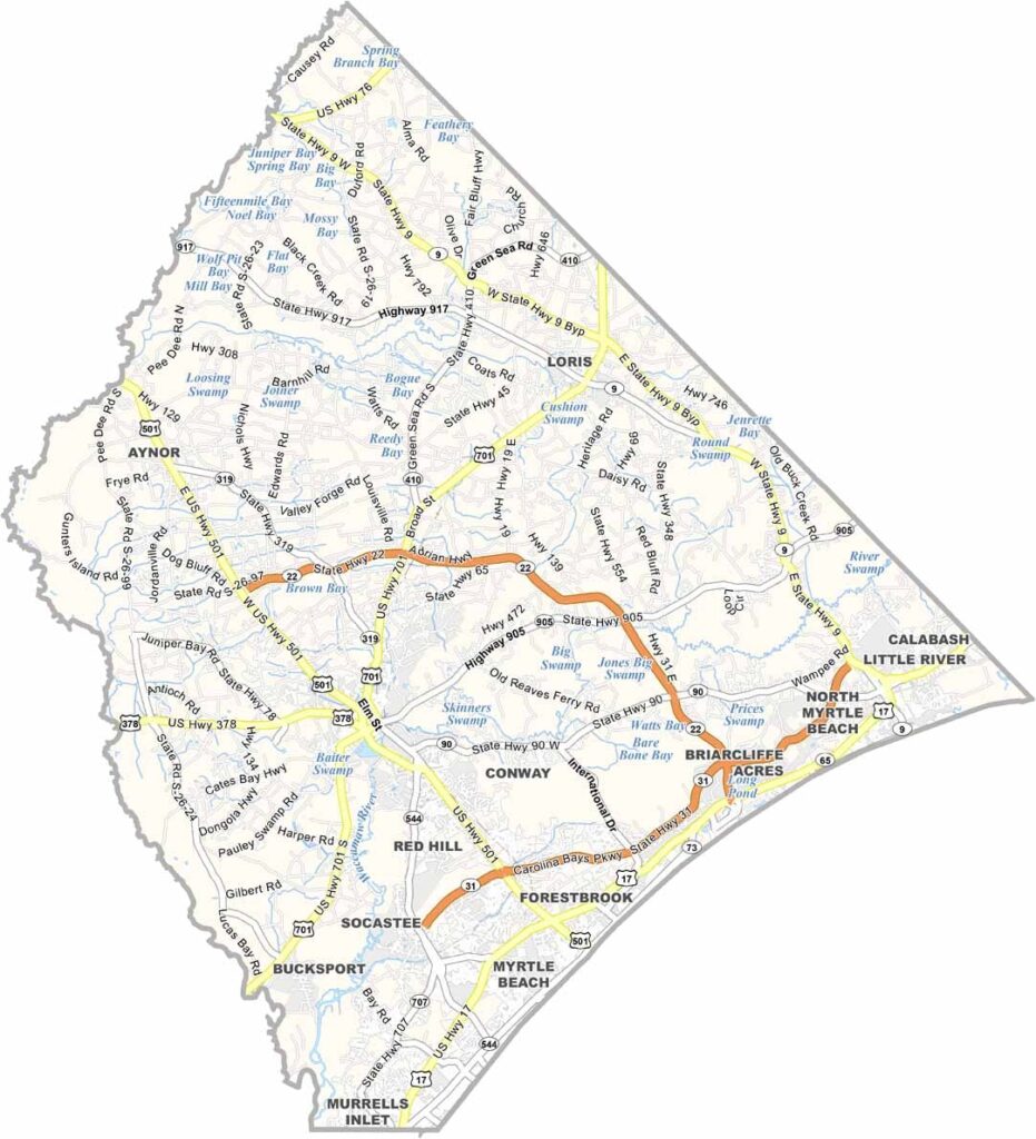
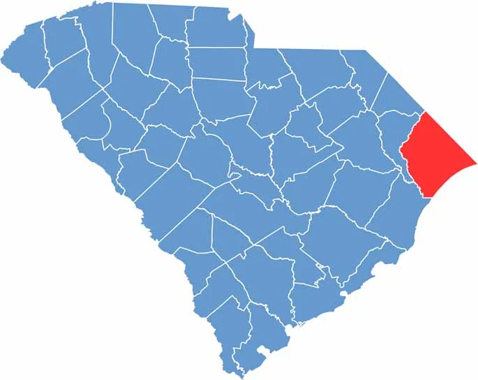
Beaches, golf, and gators sum up Horry County in a nutshell. This coastal gem sits in the northeastern corner of South Carolina, where the state meets the Atlantic Ocean.
Myrtle Beach is the star attraction, drawing millions of tourists each year to its sandy shores and boardwalk. But there is more to the county than beach life. Inland, you will find quiet towns and sprawling farmland.
The Waccamaw River snakes through the county, which is perfect for kayaking or fishing. Locals love their seafood, especially blue crabs. It is a place of contrasts, with glitzy resorts next to old-school diners and crowded beaches a stone's throw from serene swamps.
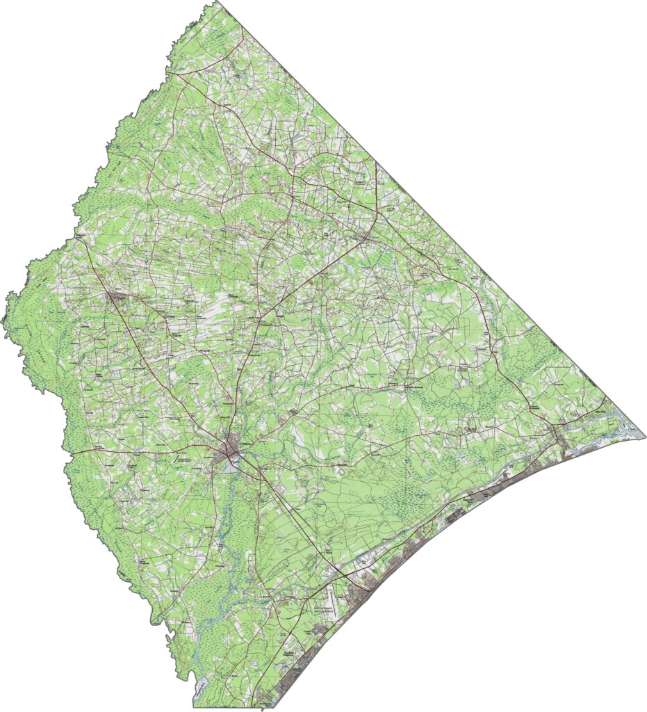
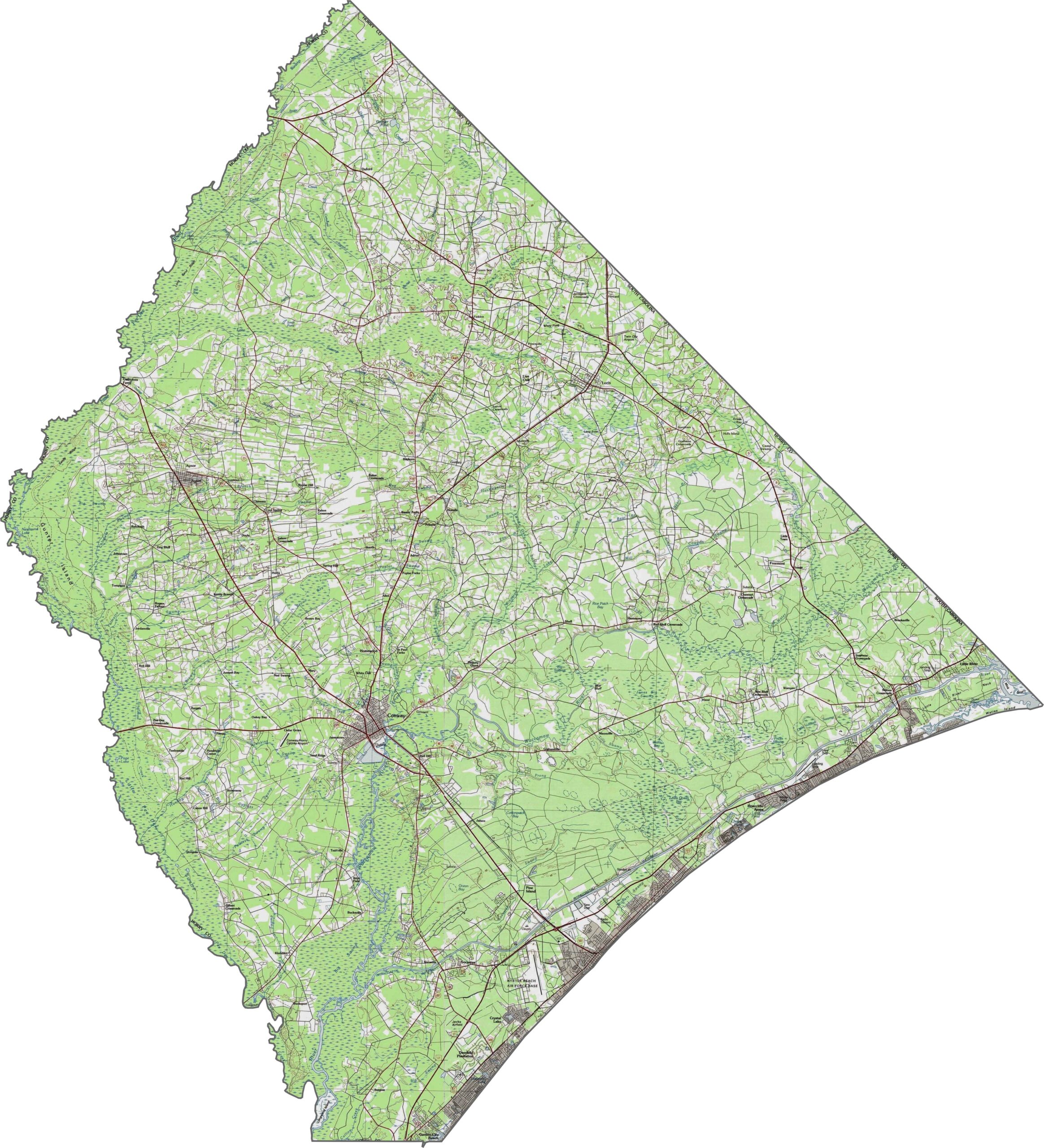
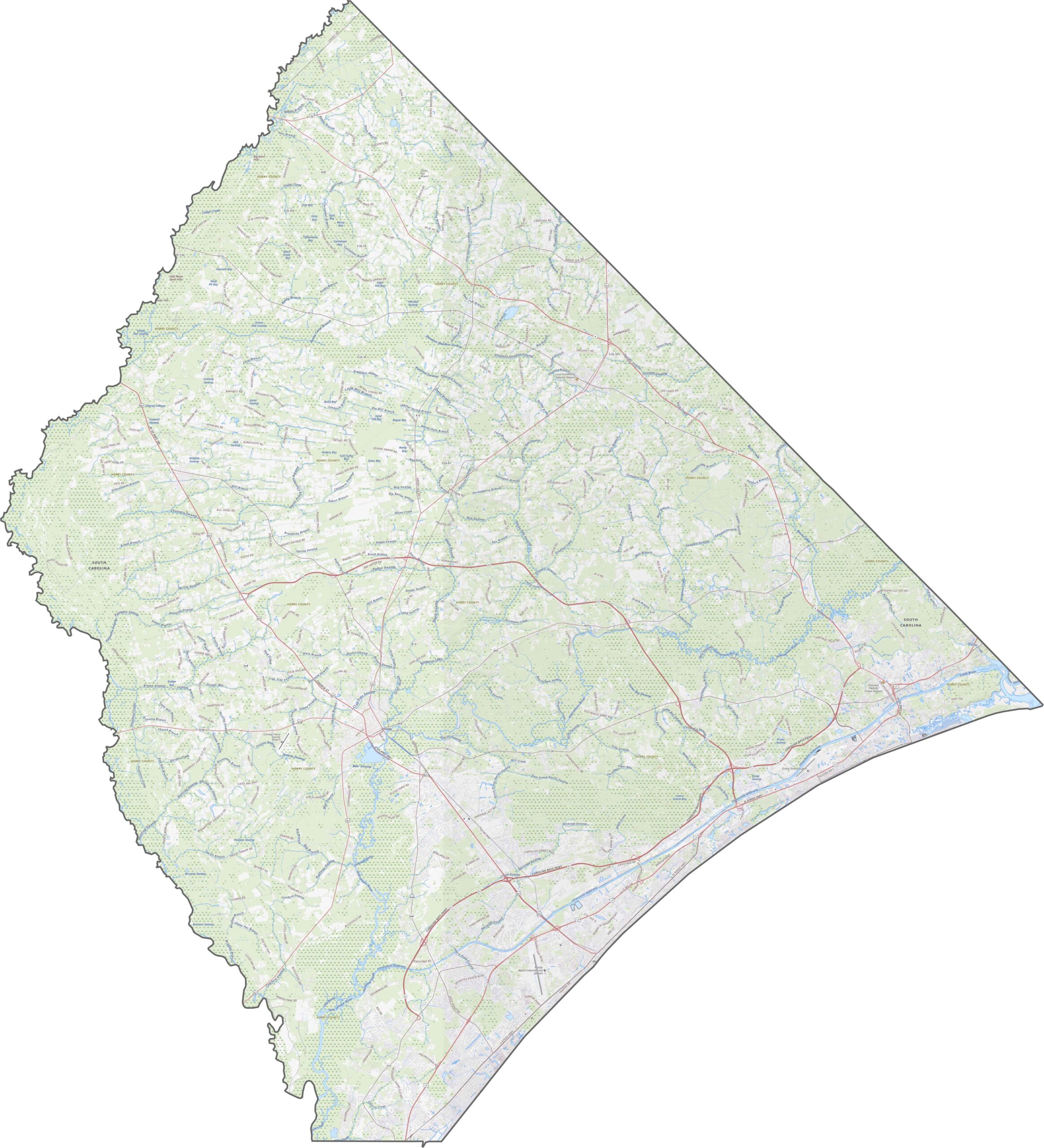
Horry County is flat and low. Swamps and rivers are major topographic features in the inland zones. There is hardly a hill in sight, but the landscape is far from dull. Use our zoom tool to explore every twist and turn.
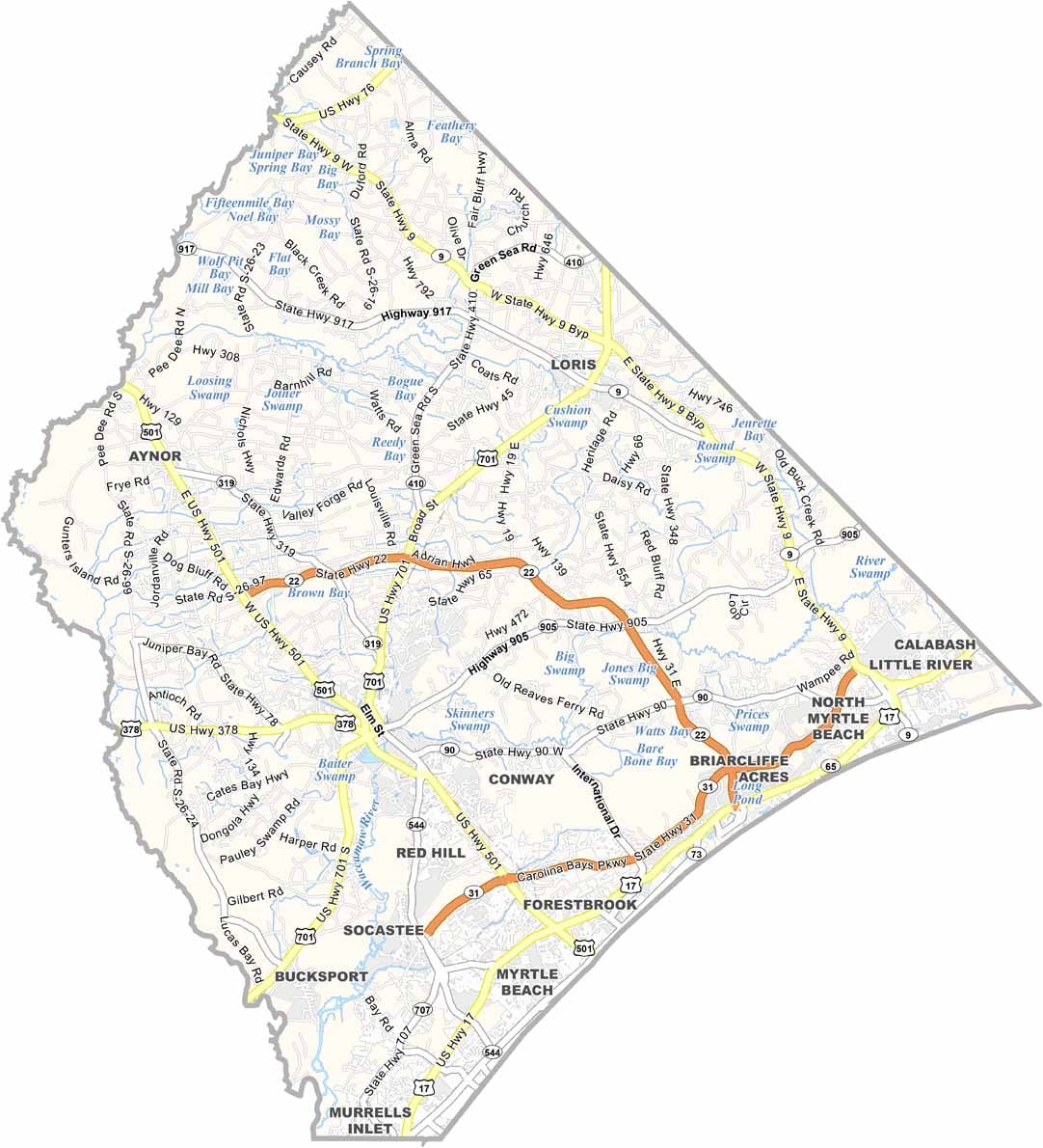
U.S. Highway 17, U.S. Highway 501, and U.S. Highway 701 are the major highways in Horry County. The roads serve both beachgoers and inland farms. Traffic near the shore can crawl, while inland routes move more freely.
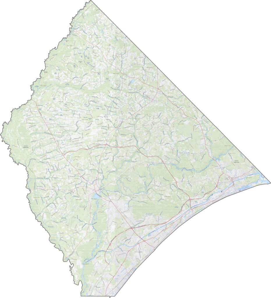
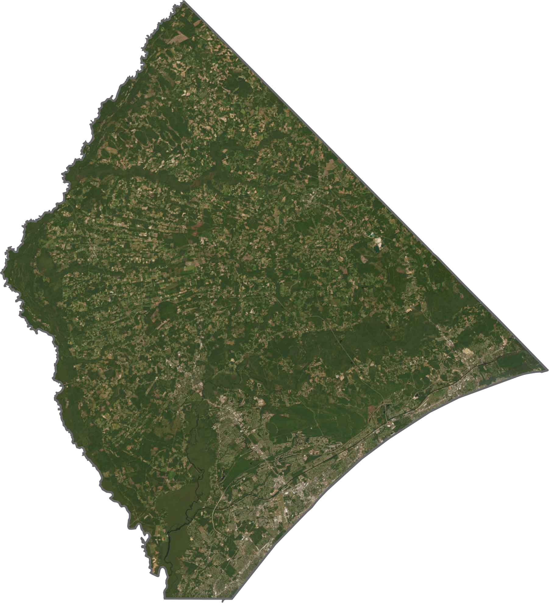
The coastline stands out first on the east side of the county, with wide beaches and dense development. Beyond that, the land turns dark green with forest and swamp.
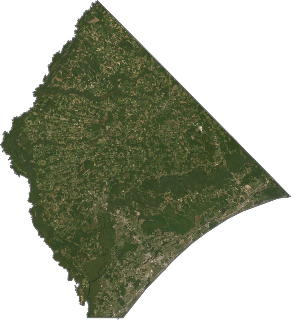
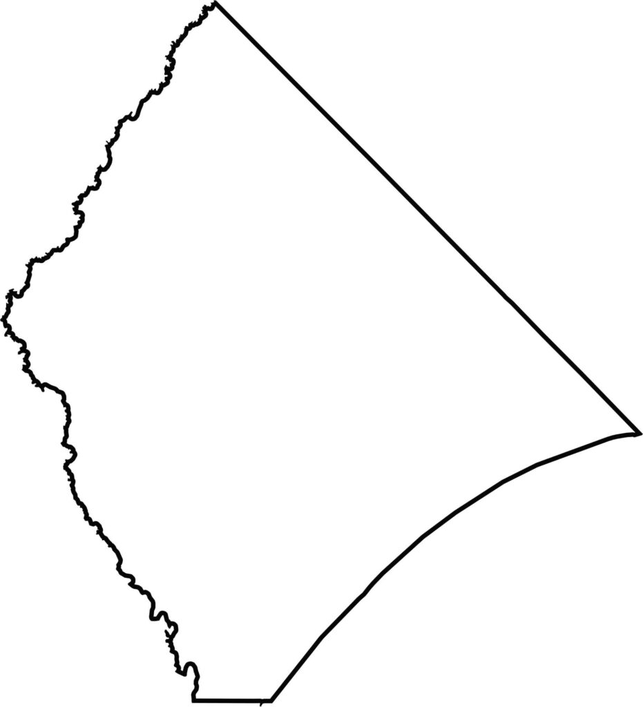
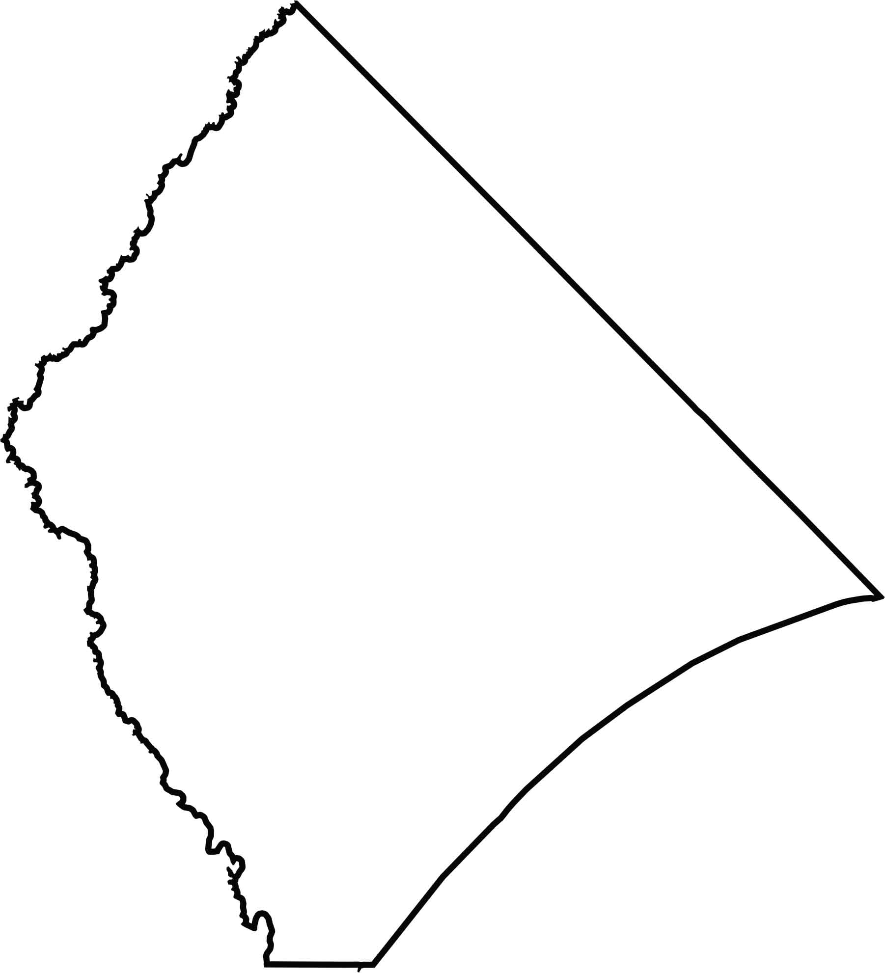
The county is massive and triangular in shape. The eastern edge follows the Atlantic coastline, while the north borders North Carolina. The western boundary is mostly the Little Pee Dee River.






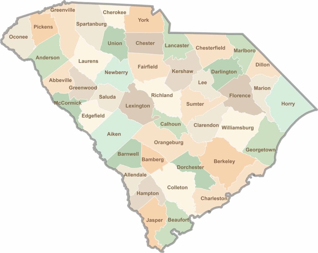
South Carolina’s 46 counties each have their own personality. Some are all about beach vibes, while others are steeped in history. You’ll find gators, grits, and gospel here—sometimes all in the very same afternoon.