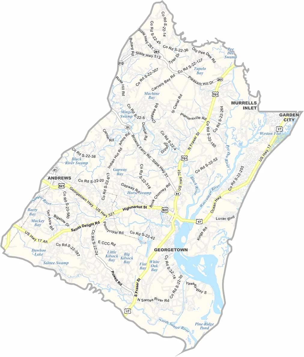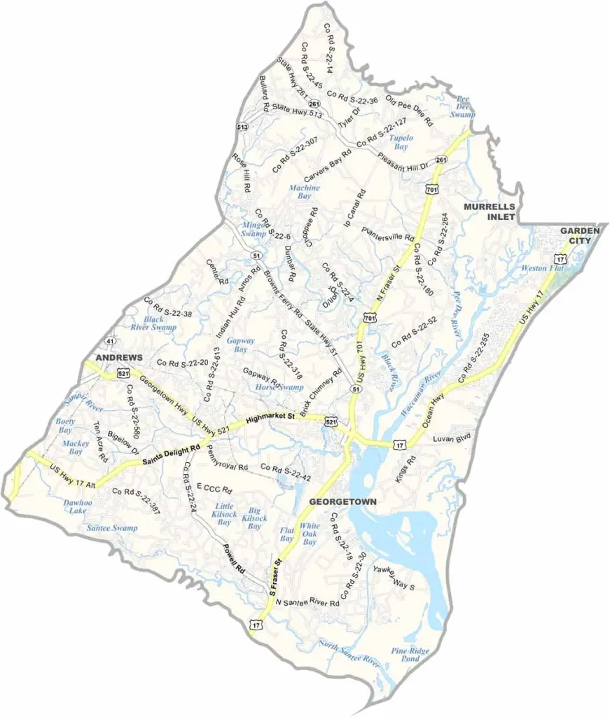
Georgetown County Map, South Carolina

Georgetown County, South Carolina

Georgetown County sits on the coast of South Carolina, about halfway between Myrtle Beach and Charleston. Beaches and quiet marshes are what you will see here, along with historic plantations and modern golf courses.

The county seat, Georgetown, is the third oldest city in South Carolina. It has a nice historic district right on the water. Pawleys Island is famous for its "arrogantly shabby" beach houses and laid-back vibe.

Nature lovers come to Huntington Beach State Park to spot alligators and birds. The county's rivers include the Waccamaw, Black, Pee Dee, and Sampit, and each one shapes its landscape and history. Seafood is king here, especially the sweet local shrimp.
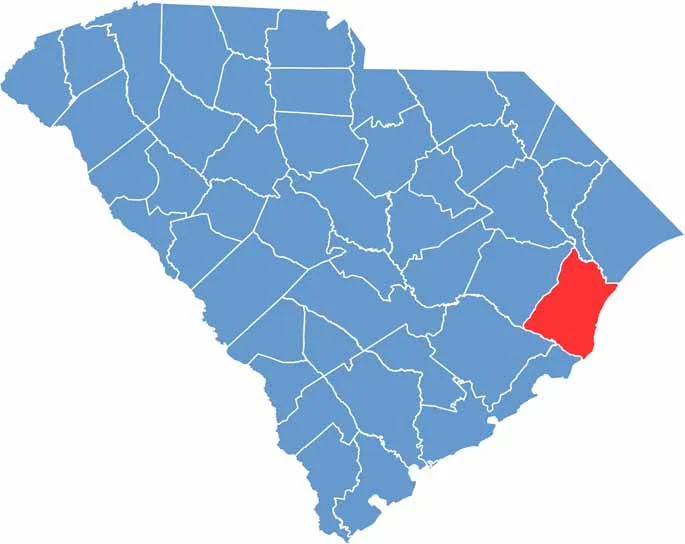

Location map of Georgetown County, South Carolina
CategoryDetails
County NameGeorgetown County
County SeatGeorgetown
EtymologyNamed after George III, King of Great Britain
Cities, Towns, and CommunitiesGeorgetown, Andrews, Pawleys Island, Murrells Inlet
Interstates and HighwaysU.S. Highway 17, U.S. Highway 521
FIPS Code45-043
Total Area (Land and Water)1,035 square miles (814 sq mi land, 221 sq mi water)
Adjacent Counties (and Direction)Horry County (Northeast), Marion County (North), Williamsburg County (Northwest), Berkeley County (West), Charleston County (Southwest)
Time ZoneEastern Time Zone (EST)
StateSouth Carolina
Coordinates33°23’N, 79°17’W
Major LandmarksBrookgreen Gardens, Huntington Beach State Park, Hobcaw Barony
PopulationApproximately 66,000
Scroll to Top