
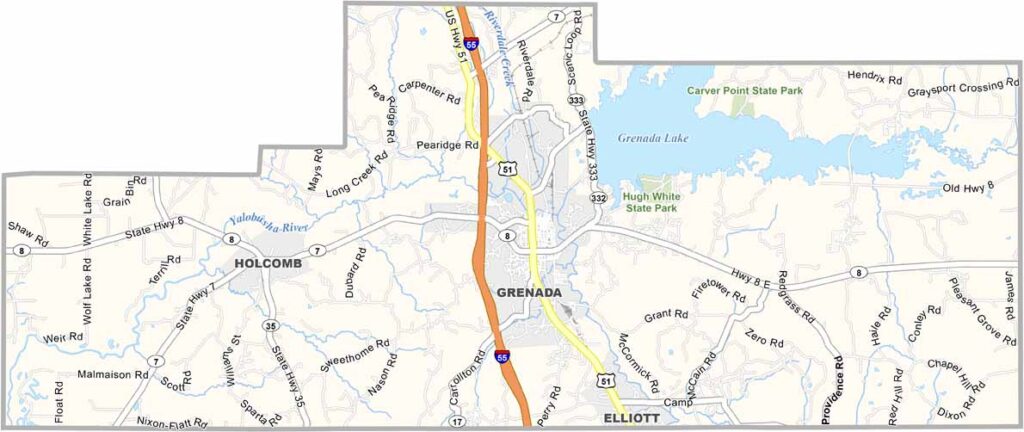
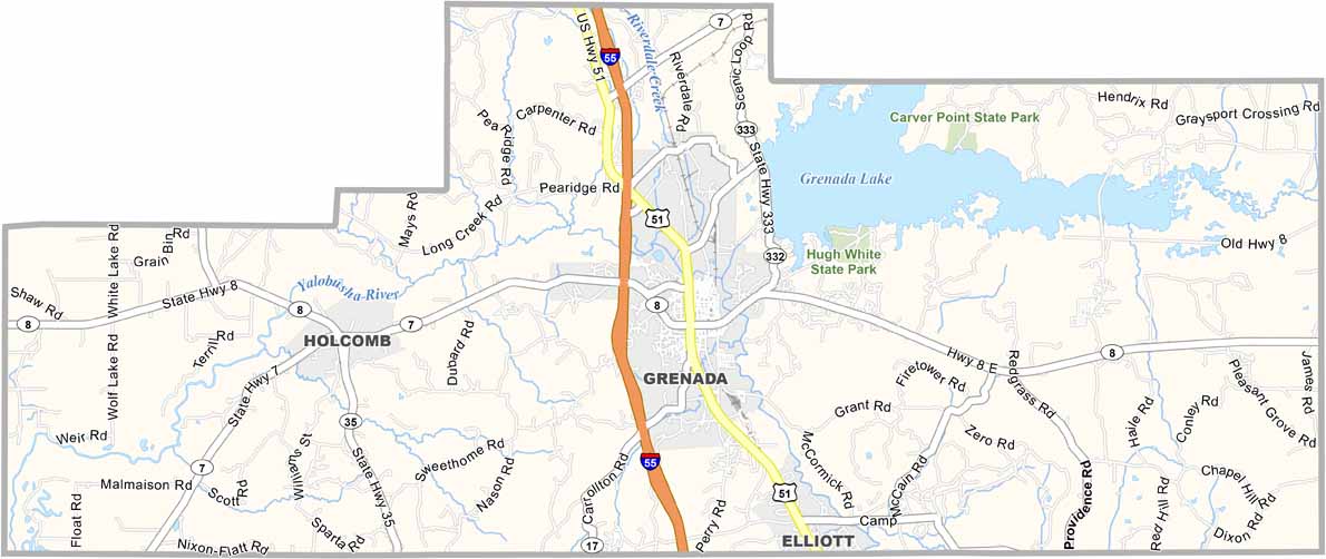
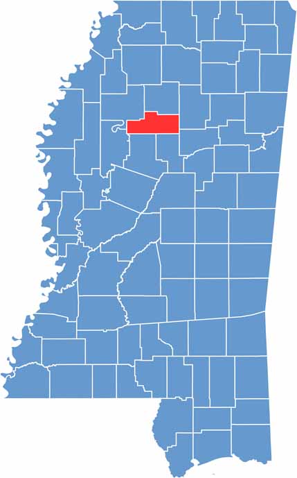
Grenada County is located in the heart of Mississippi. It takes its name from the Spanish colonial city of Granada, but there’s no Caribbean atmosphere here. Instead, you’ll find plenty of classic Magnolia State charm.
Grenada serves as the county seat and sits along the shores of Grenada Lake. The large reservoir in the northern part of the county is a popular destination for fishing and boating.
Summers can be extremely hot, so air conditioning is a must. The county features a mix of farmland and forests, along with scenic drives for those who enjoy exploring the countryside.

Mississippi Counties
Rankin County Map Download Mississippi – Outline Map and Blank Map

Mississippi Counties
Madison County Map Download Mississippi – Outline Map and Blank Map

Mississippi Counties
Jackson County Map Download Mississippi – Outline Map and Blank Map

Mississippi Counties
Hinds County Map Download Mississippi – Outline Map and Blank Map

Mississippi Counties
Harrison County Map Download Mississippi – Outline Map and Blank Map

Mississippi Counties