
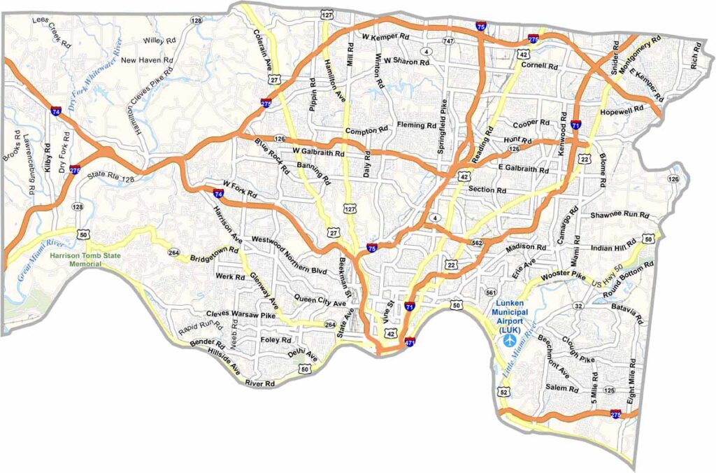
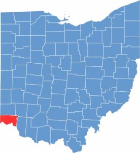
Hamilton County is home to Cincinnati, the big show in southwestern Ohio. It sits along the Ohio River and borders both Indiana and Kentucky. With more than 800,000 residents, the county is always buzzing with activity.
The Reds and Bengals keep sports fans entertained year-round. You can’t miss Cincinnati’s impressive skyline when driving in on I-75. Visitors also come for the food, from chili to goetta, with plenty of local favorites to try.
But Hamilton County is more than just the city. There are great parks for a break from the bustle, along with Underground Railroad sites that draw visitors interested in history. Art lovers can also visit the Cincinnati Art Museum, a must-see attraction.
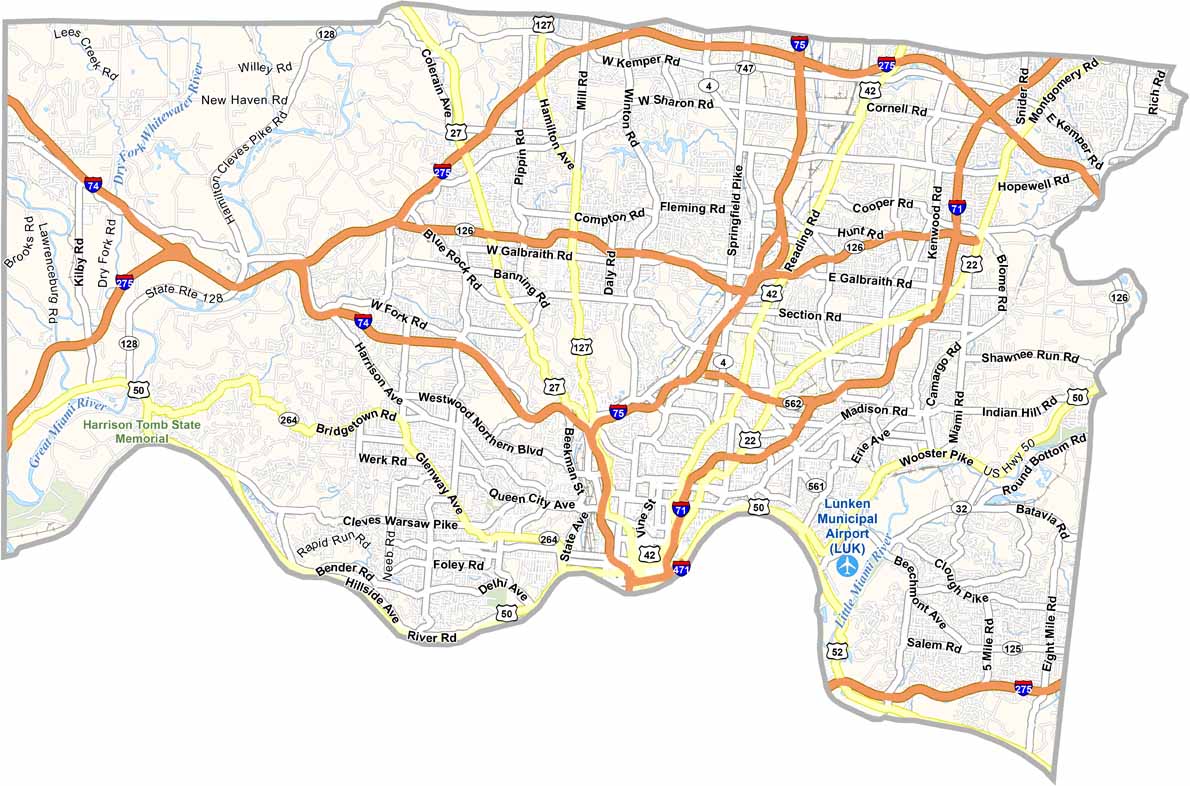
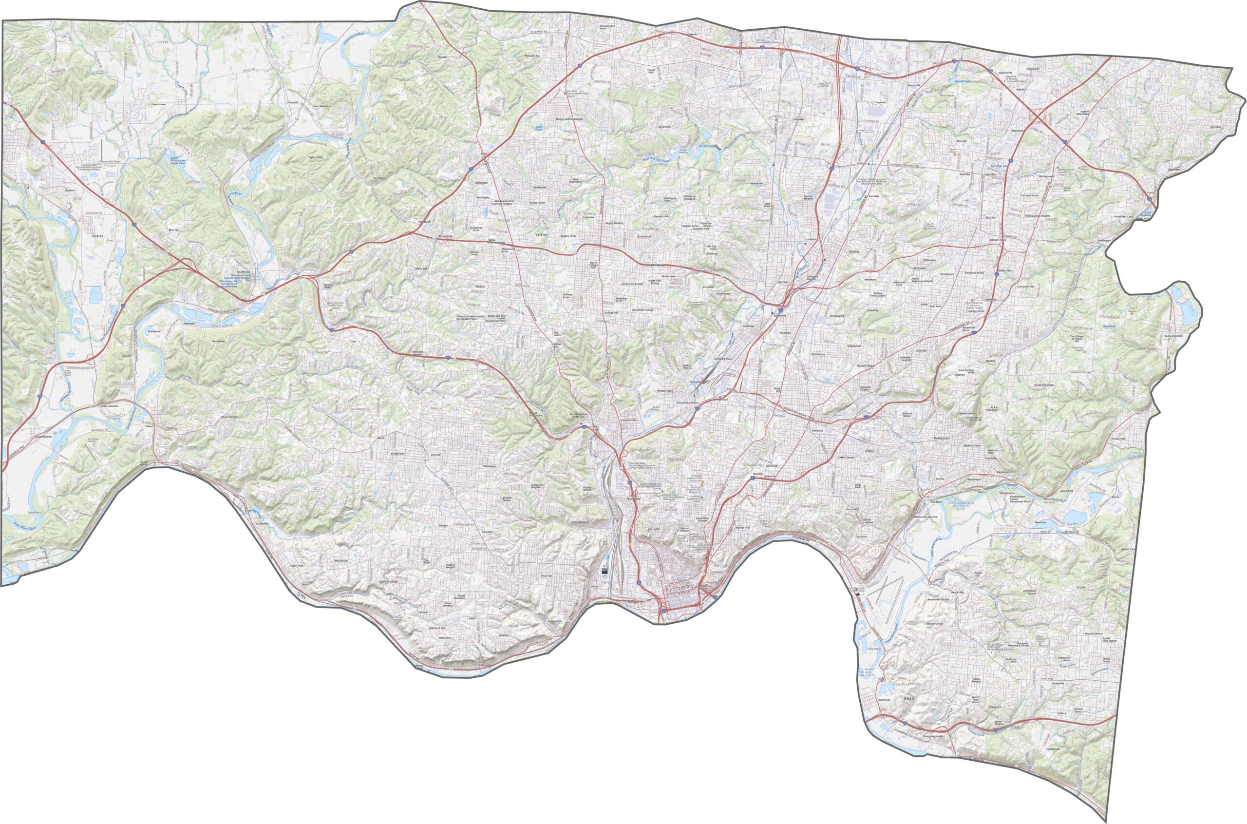
Hamilton County is a major highway hub thanks to Cincinnati. Interstates 71, 74, and 75 run through the county, while I-275 loops around the outer edge. U.S. Routes 50 and 127 add even more connections to the network. Traffic can be heavy, but the coverage is extensive. Use our zoom tool below to explore the road system in greater detail.
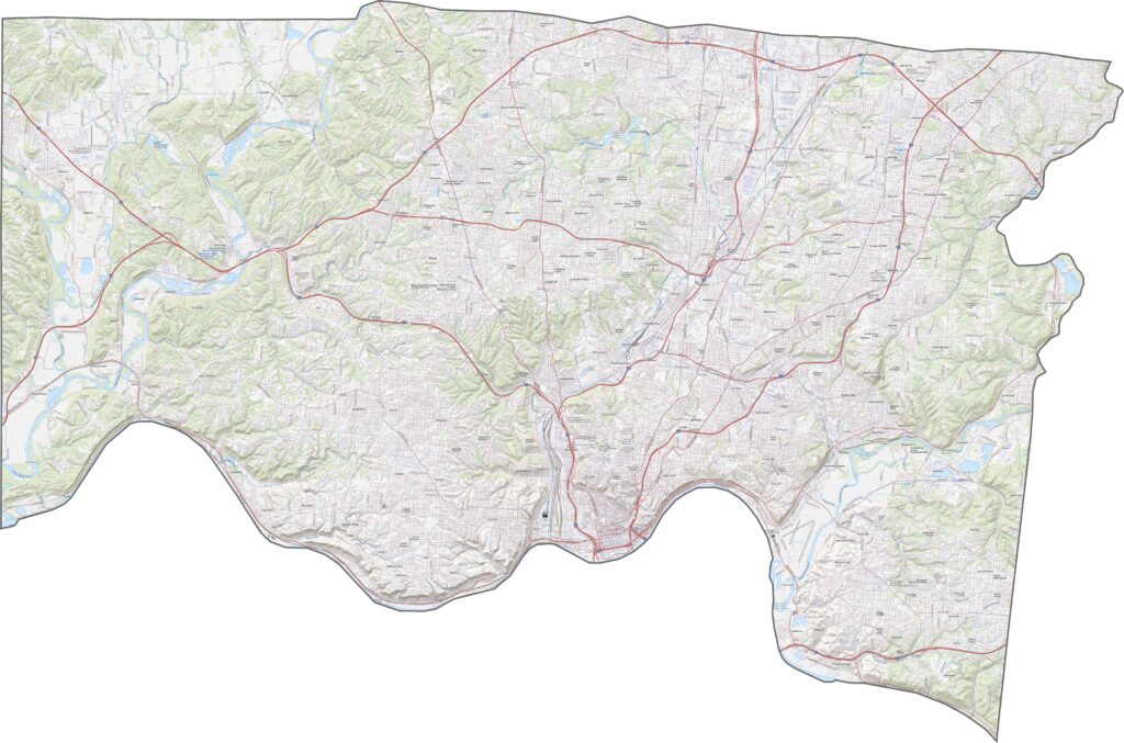
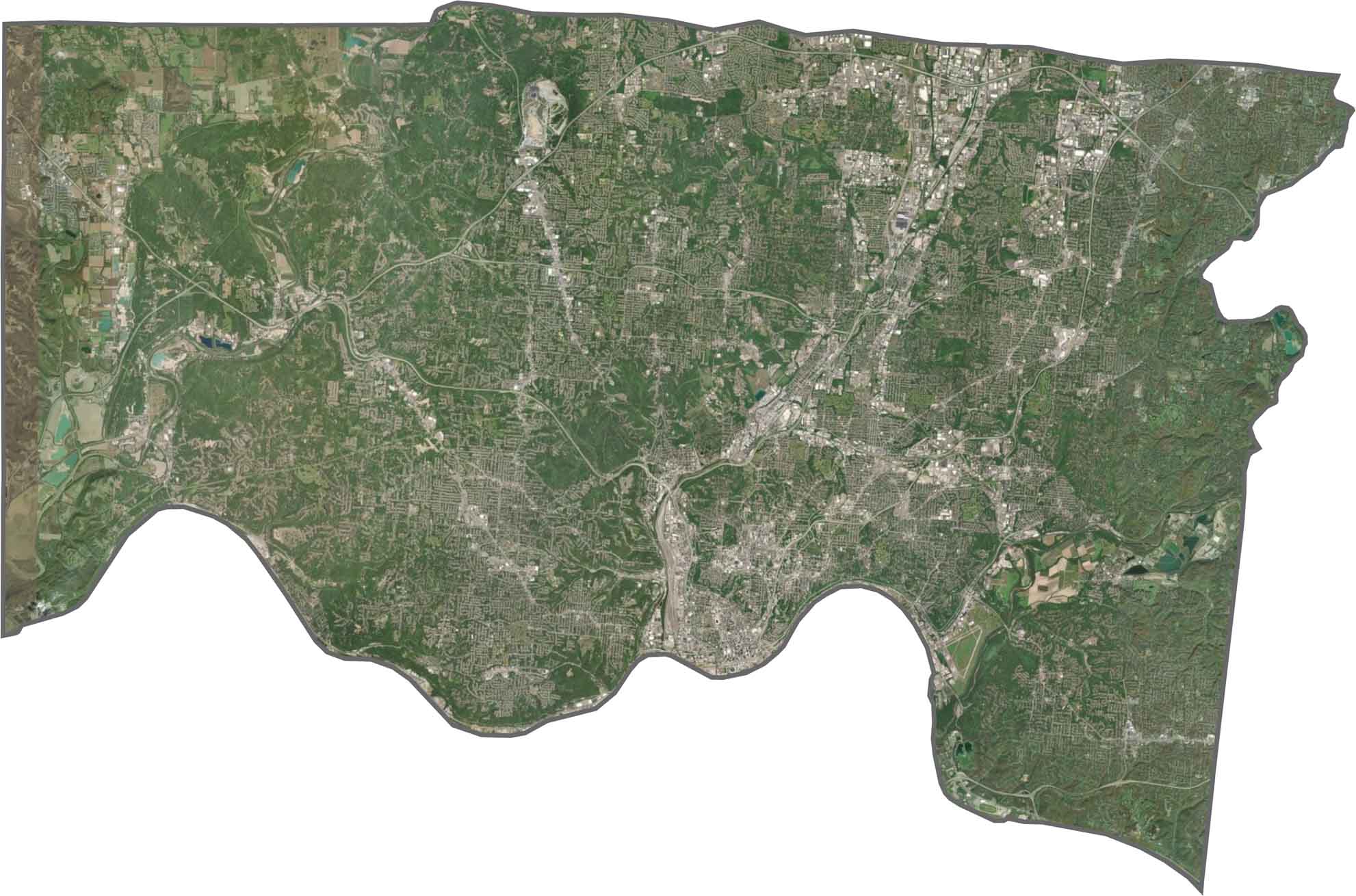
Hamilton County is dense, sprawling, and heavily developed. Downtown Cincinnati sits along the river, surrounded by buildings and busy roads. Beyond the city center, tree-lined neighborhoods and parklands become more visible. The Ohio River curves across the southern edge, while bridges, rail yards, and hills create distinctive features throughout the landscape.
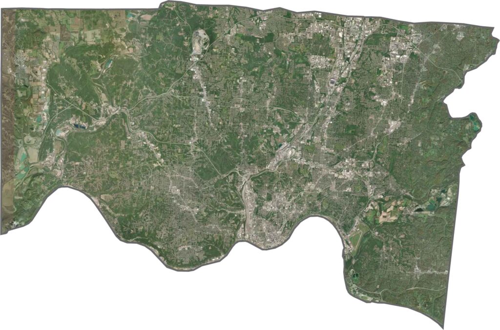
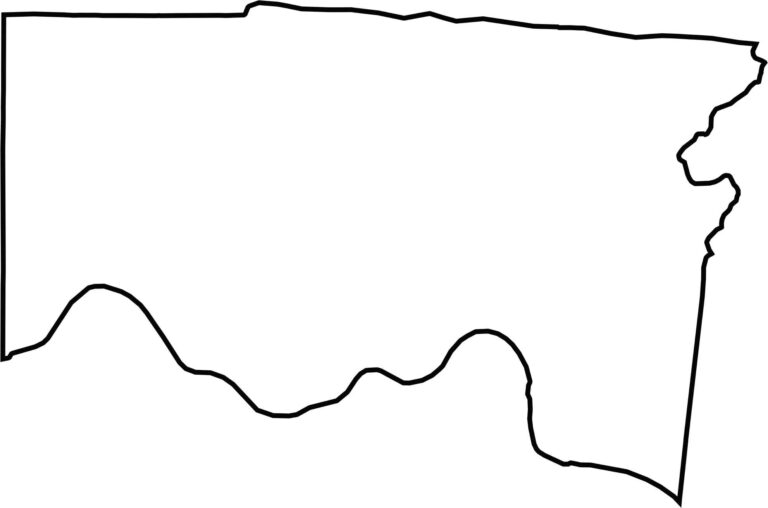
Hamilton County borders Kentucky, with the Ohio River forming its entire southern boundary. The rest of the outline combines straight lines with several bends and irregular sections. Its shape resembles a tilted wedge that widens toward the north. The curved river boundary gives the county a distinctive appearance on the map.








Forget the coast. Ohio’s 88 counties are where everyday America comes alive. No pretense, no postcard perfection—just hardworking towns and quiet backroads that grow on you. This is the Midwest without the filter.