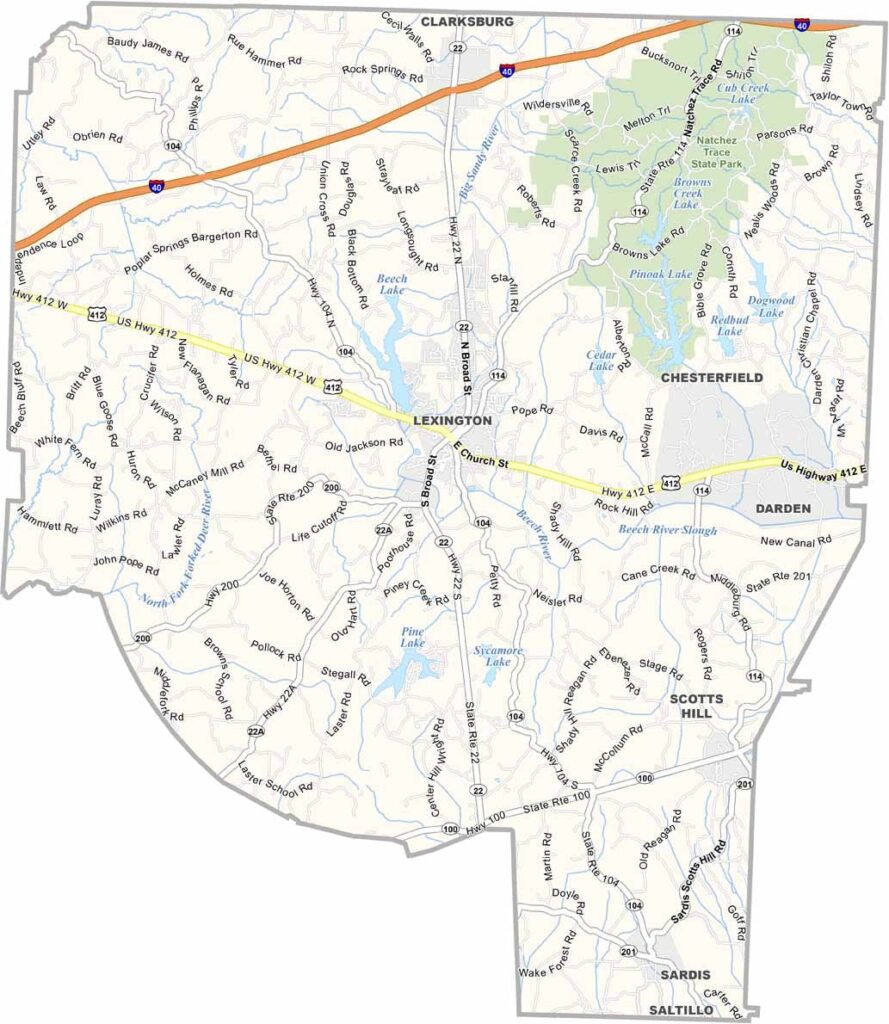
Henderson County, Tennessee

Henderson County sits in the heart of western Tennessee, where farming remains an important part of everyday life. Agriculture continues to drive the local economy, while manufacturing and other industries have also become part of the picture.

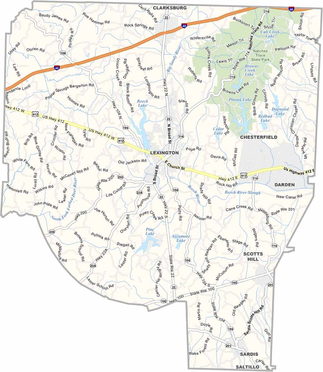
Lexington serves as the county seat and has a history that reaches back to its frontier days. Like much of the area, the town has changed over the years while still holding on to plenty of its old character. You’ll find a comfortable mix of historic roots and modern life here.

Nature lovers have plenty to enjoy, especially at Natchez Trace State Park, a favorite destination for locals and visitors alike. Henderson County may not be flashy or crowded, but it has plenty of heart. The people are friendly and down-to-earth, and community remains an important part of life here.

Printable Stone County Missouri location map showing county location and boundaries
CategoryDetails
County NameHenderson County
County SeatLexington
PopulationApproximately 28,000
Cities, Towns, and CommunitiesLexington, Sardis, Scotts Hill, Reagan
Interstates and HighwaysInterstate 40, U.S. Highway 412, State Highway 22
FIPS Code47-077
Total Area (Land and Water)526 square miles (520 sq mi land, 6 sq mi water)
Adjacent Counties (and Direction)Carroll County (North), Decatur County (East), Hardin County (Southeast), Chester County (Southwest), Madison County (West)
Time ZoneCentral Time Zone (CST)
StateTennessee
Coordinates35°39’N, 88°24’W
EtymologyNamed after James Henderson, a soldier in the War of 1812
Major LandmarksNatchez Trace State Park, Beech Lake, Parkers Crossroads Battlefield
Scroll to Top